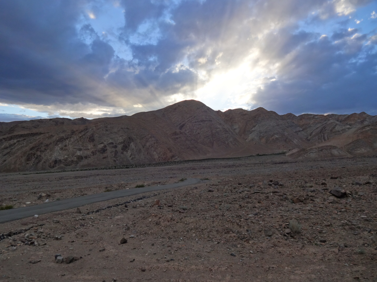
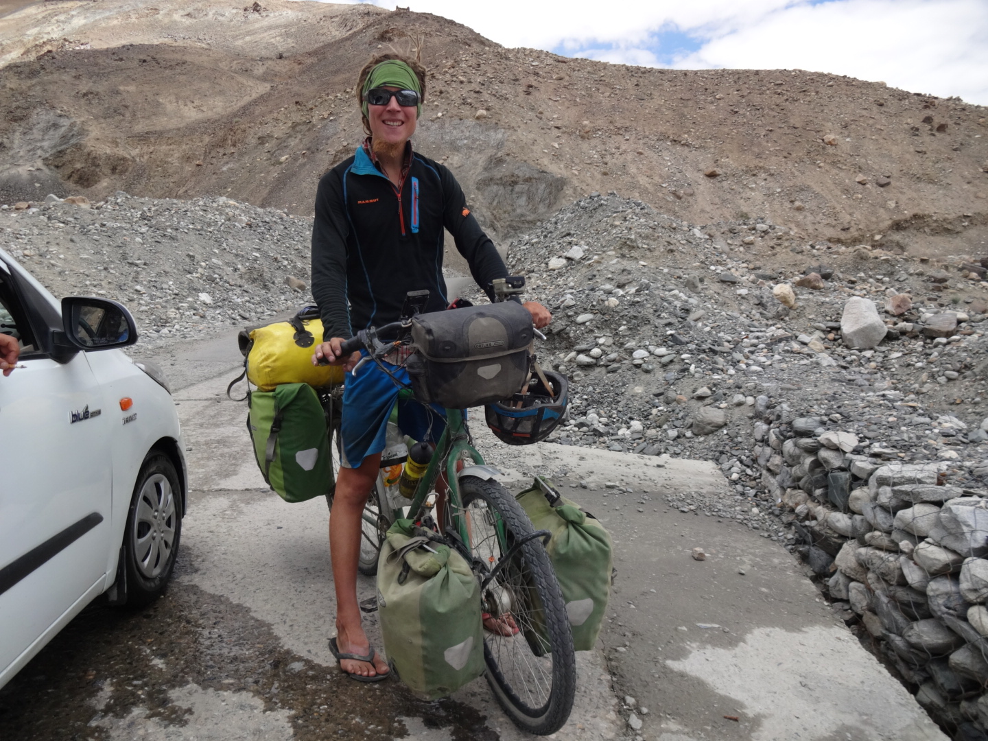
Indien Route Information 2016
Sorry, dieser Beitrag wurde von mir noch nicht auf Deutsch übersetzt und ist deshalb nur in Englisch verfügbar. Eine Spende von dir würde es mir jedoch ermöglichen, unterwegs eine Auszeit in einem Guesthouse zu nehmen um weiter an der Übersetzung und Vervollständigung meiner Website zu arbeiten. Falls Englisch deine Muttersprache ist oder du sonst gute Englischkenntnisse hast, dann kannst du mich auch unterstützen, indem du Texte meiner Website übersetzt. Schreibe bei Interesse bitte eine E-Mail an info@marcmichel.ch.
Check for example http://geo.ebp.ch/gelaendeprofil/ for elevation information. But as this site is based on Google Maps, it doesn’t work in some places (like China) where Google is blocked.
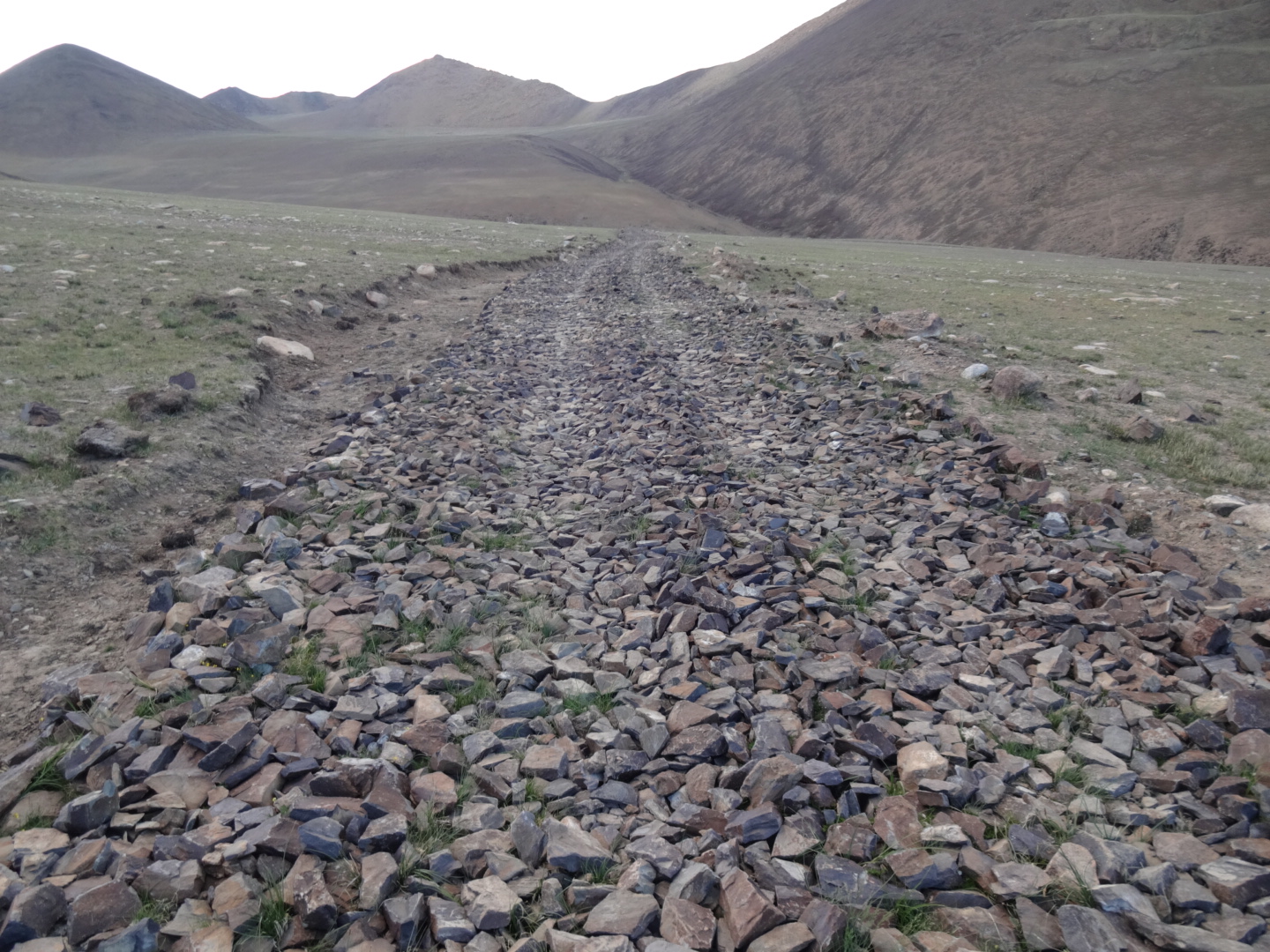
I rated the road sections mostly based on the scenery, where ***** means that it is a must go and no star means „neutral“, i.e. that this part wasn’t spectacular at all for me. this rating depends of course also always on the weather I had during the time I cycled there.
visa extension: i was able to extend my visa in leh (at FRO) for 45days for 2680rs. when you google about visa extension in india, it sounds like a difficult and impossible thing. but as i had problems with my equipment and i had to wait to organize replacement, i went to the FRO and told them, that i was not able to continue at the moment and that i need more time to reach the pakistani border and i asked for a 30days extension, but the guy said that he also could give 45days (for the same price). actually, it seemed like a really easy thing to extend the visa – he even wrote that “wants to visit more places” is the reason for the extension. (beware, maybe there is still the 180days-rule which could be a problem to extend the visa, but as i visited bangladesh as well as nepal, i spent a lot of time outside india while my indian visa was valid.)
Manipur (April 2016)
i crossed from myanmar to india in the early afternoon, thus i couln’t reach imphal on the same day. i reached a village 20 kilometer after moreh, and i could stay (for free) at the chief’s house and he told me that tourists are warmly welcome to stay at his place (24.323N, 94.232E).
moreover, when i reached a village in manipur in the evening, i just asked if there is a “hotel for sleeping” (as a “hotel” is usually only a restaurant) and i always ended up in the house of the chief of the village where i was offere a bed and food.
in imphal, i stayed at the chamalou-eco-guest-house (24.809N, 93.887E). that’s a cheap (100rs per night, 50rs more for the wifi) but very basic place (no power there, but it’s possible to charge the devices at sanji’s home). the guys there are very kind.
Sikkim (April 2016)
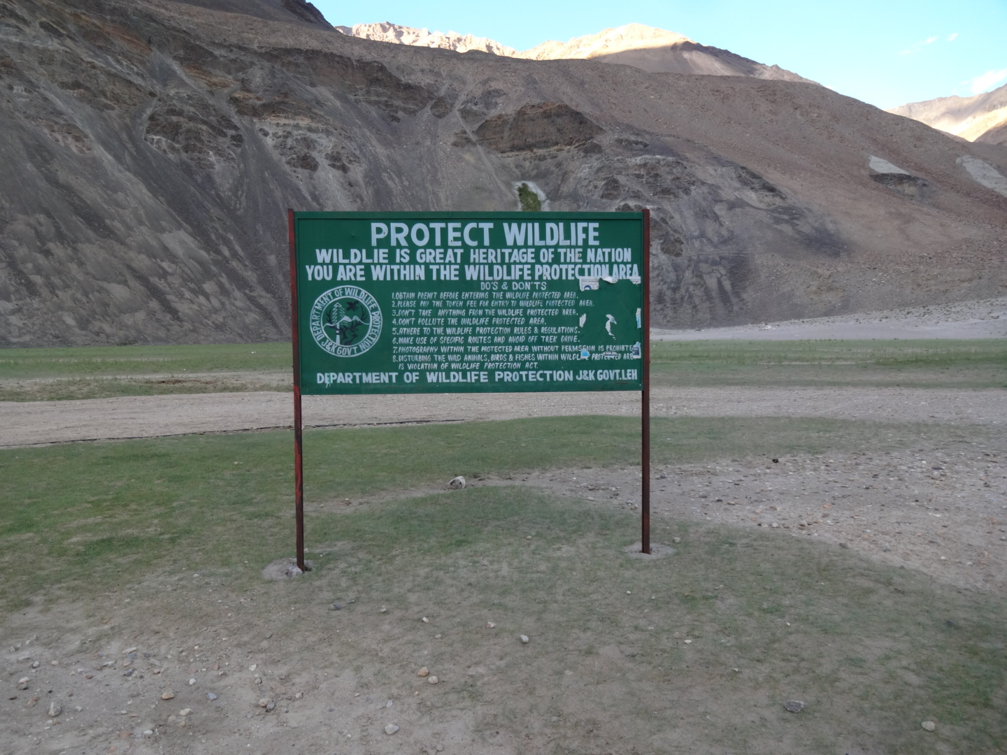
permit needed for sikkim (but you can only visit some areas of the state as a foreigner), you can get the permit on spot when you arrive in sikkim – but not everywhere: i wanted to enter sikkim from pedong (going in direction of reshi and rongli), but foreigners are not allowed to enter sikkim there, i had to go to rangpo where i got the permit easily (for free). i wanted to travel the 3-level-zig-zag-road (zuluk), but foreigners are not allowed to go there.
a friend of mine told me, that he was not allowed to leave sikkim at jorethang (going in direction of darjeeling) and that he had to go back to rangpo.
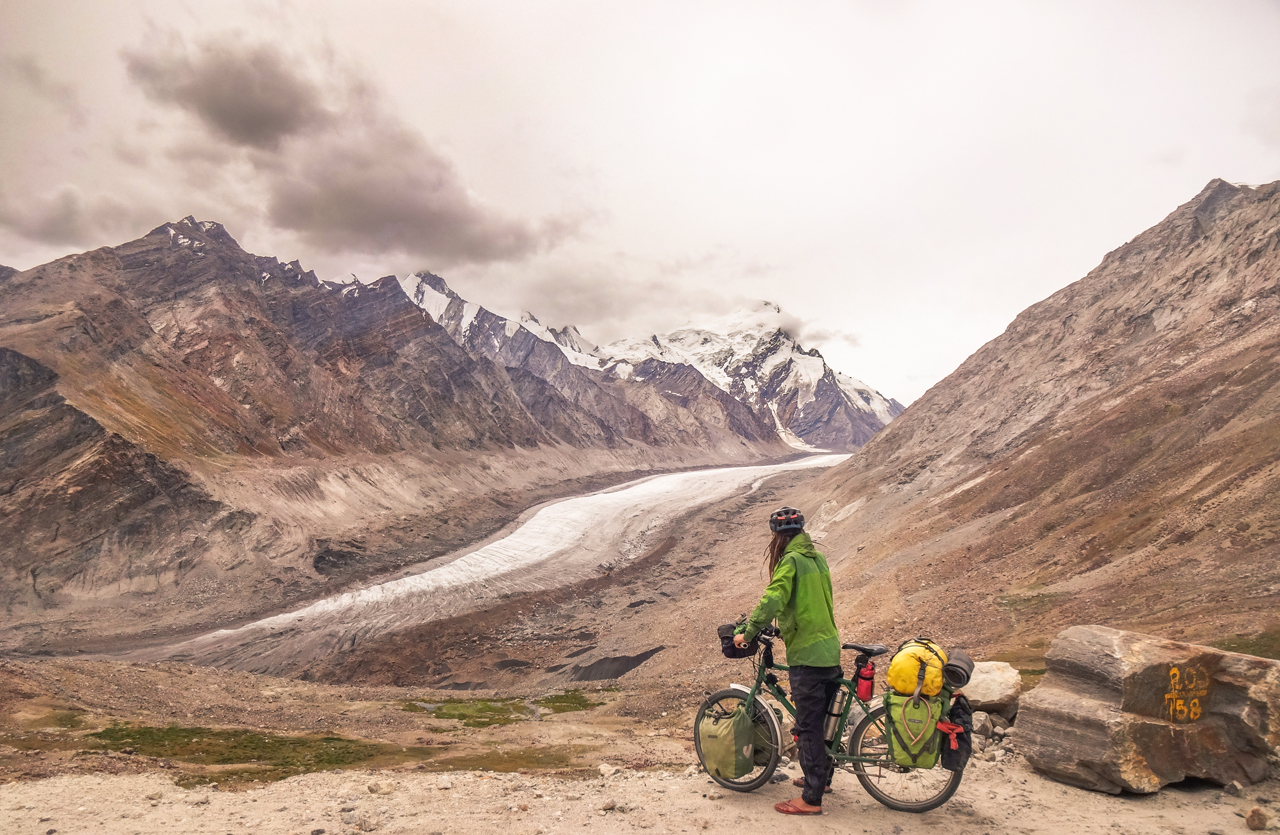
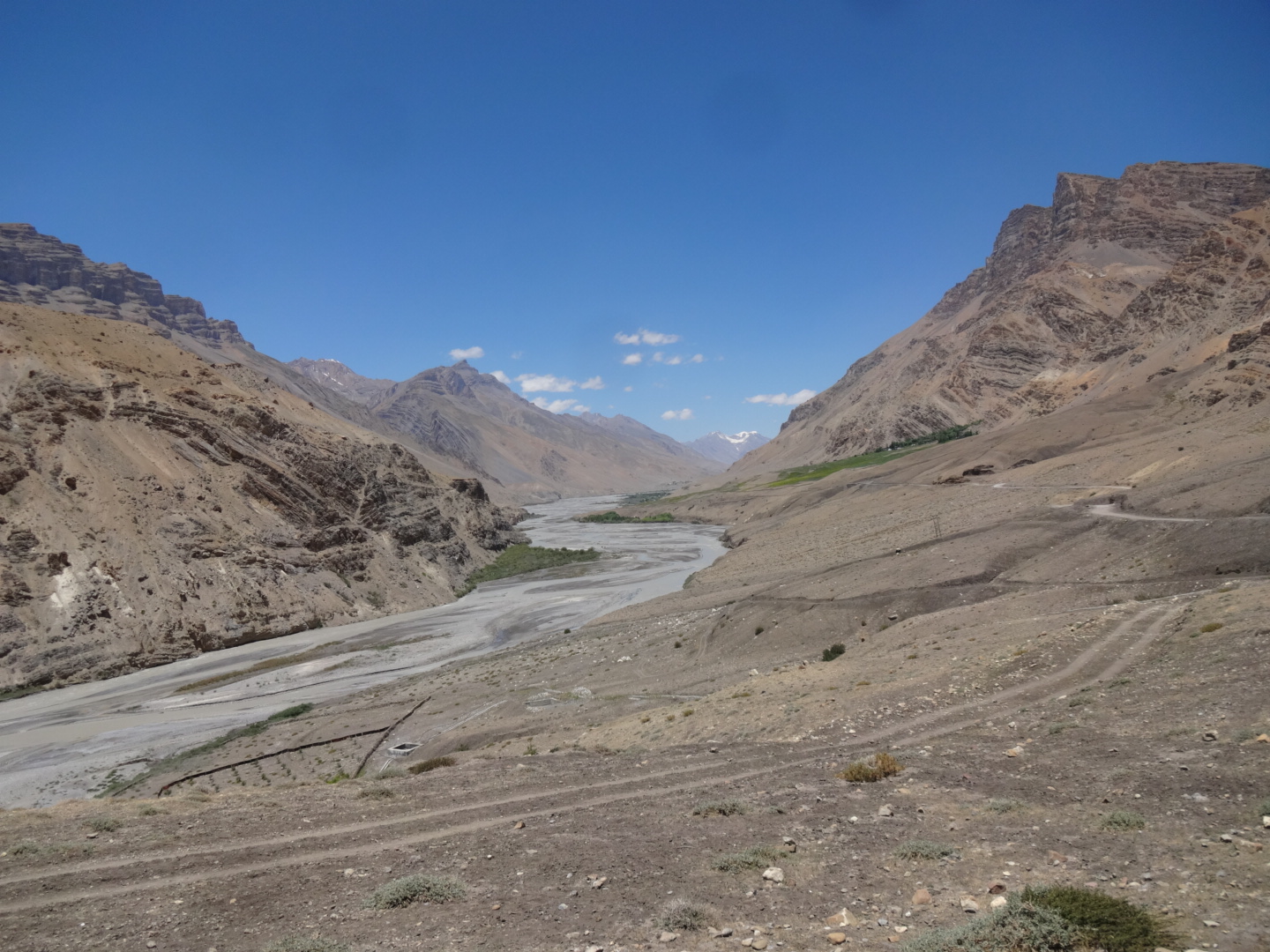
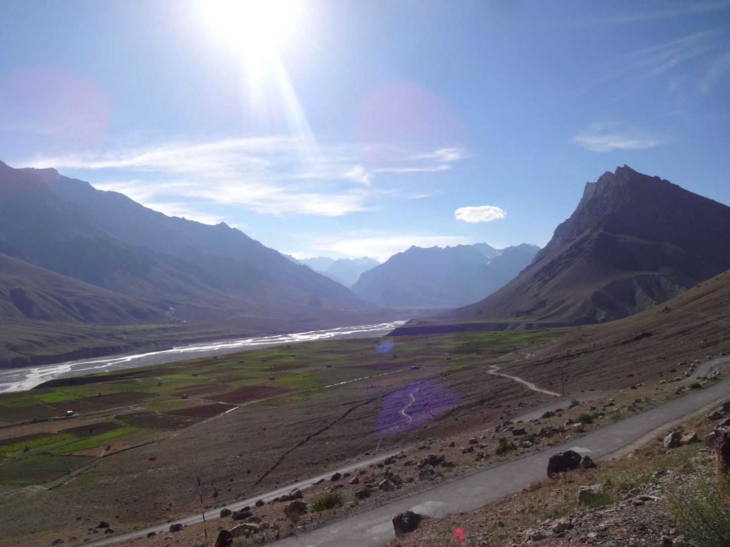
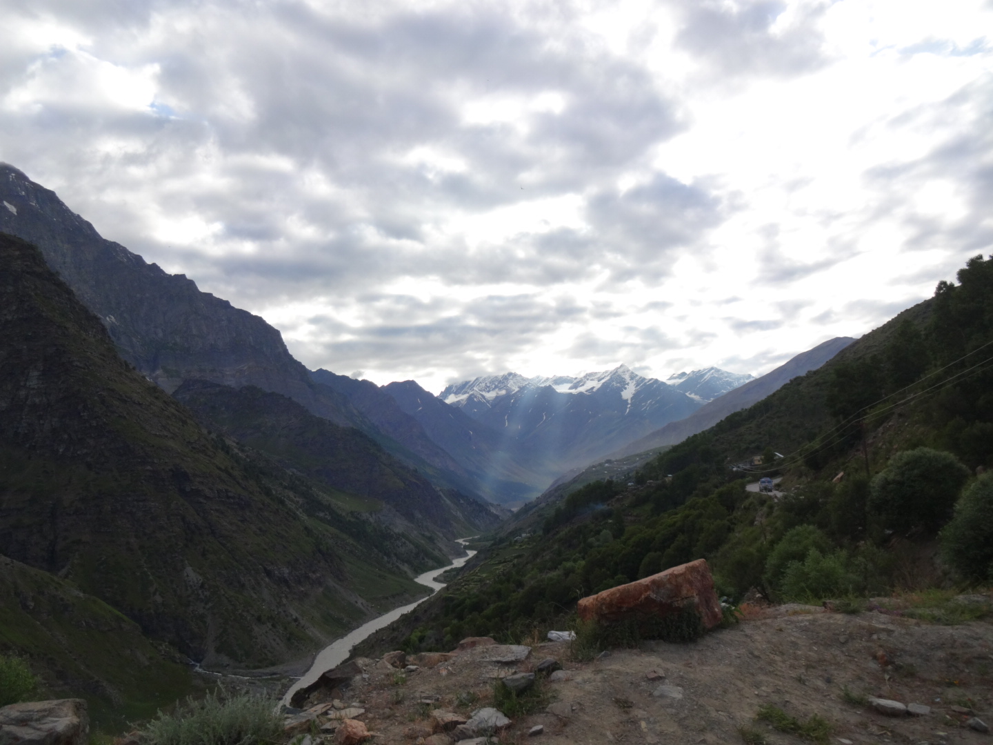
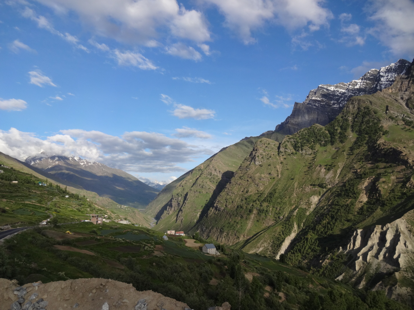
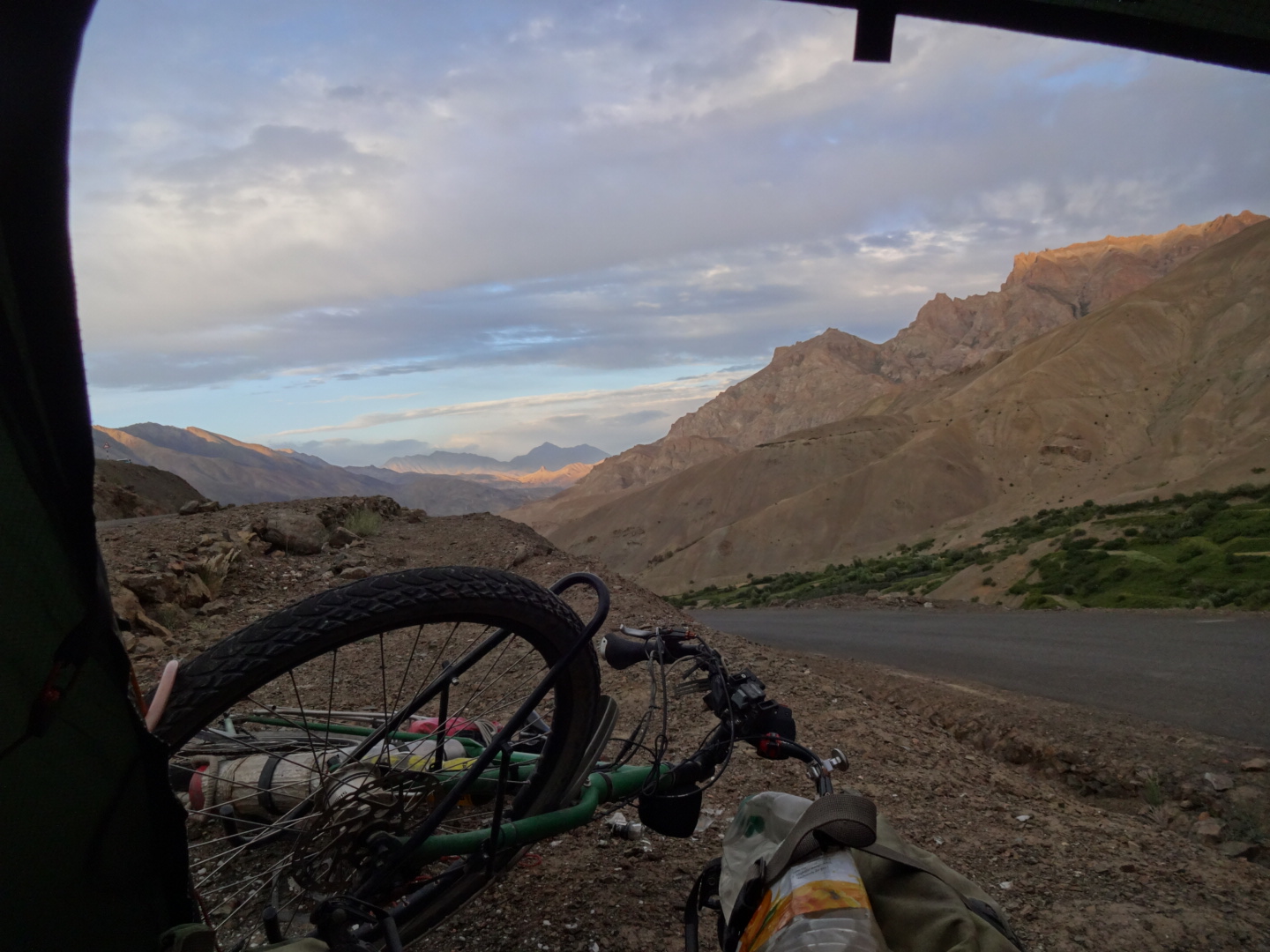
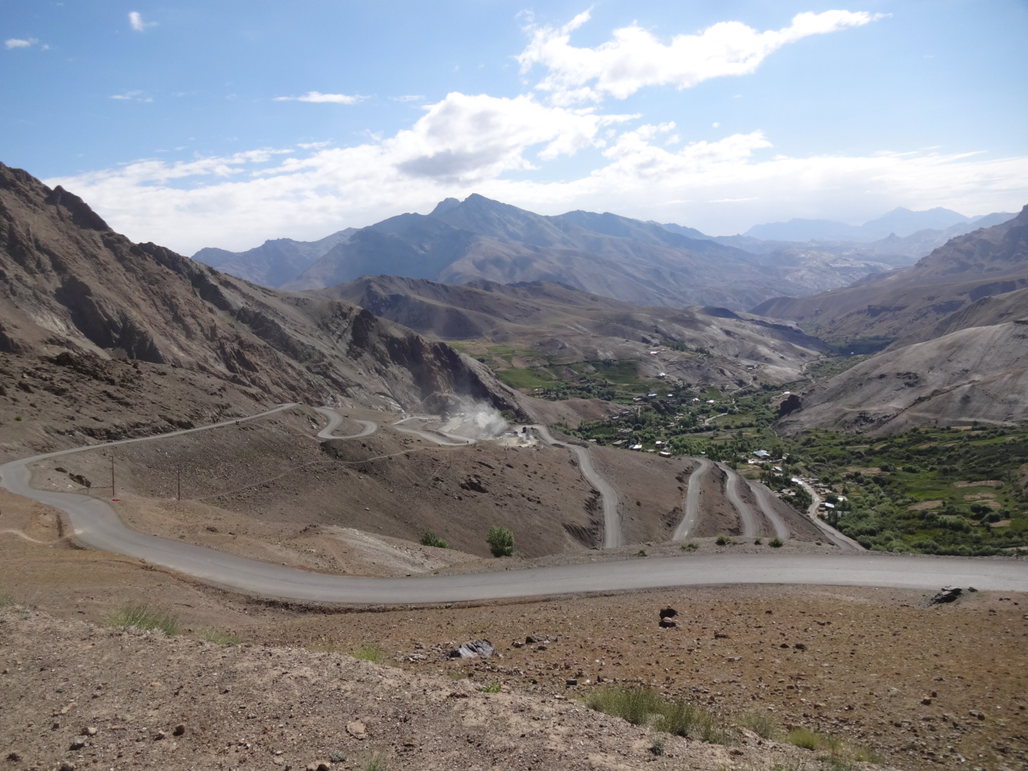
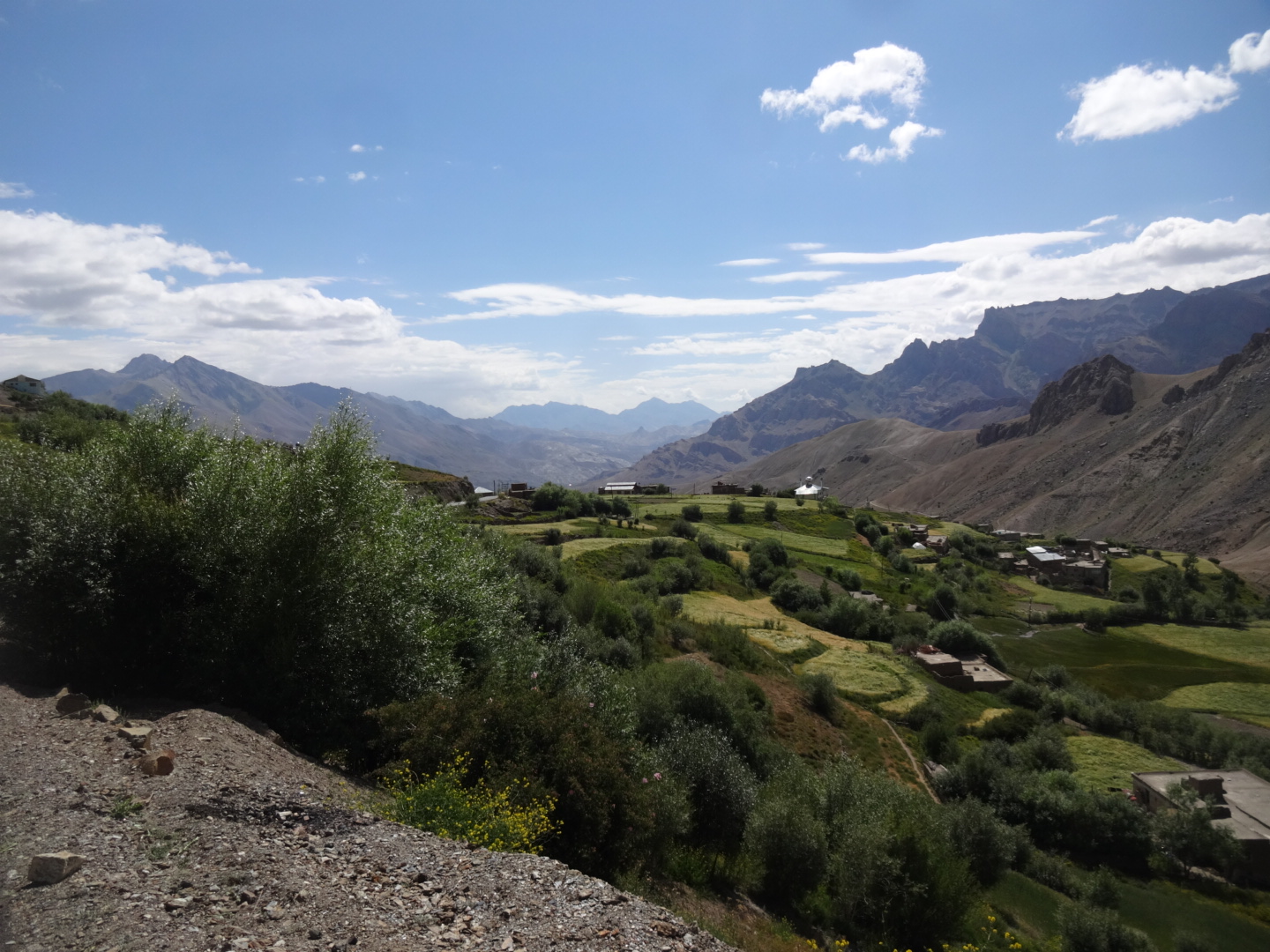
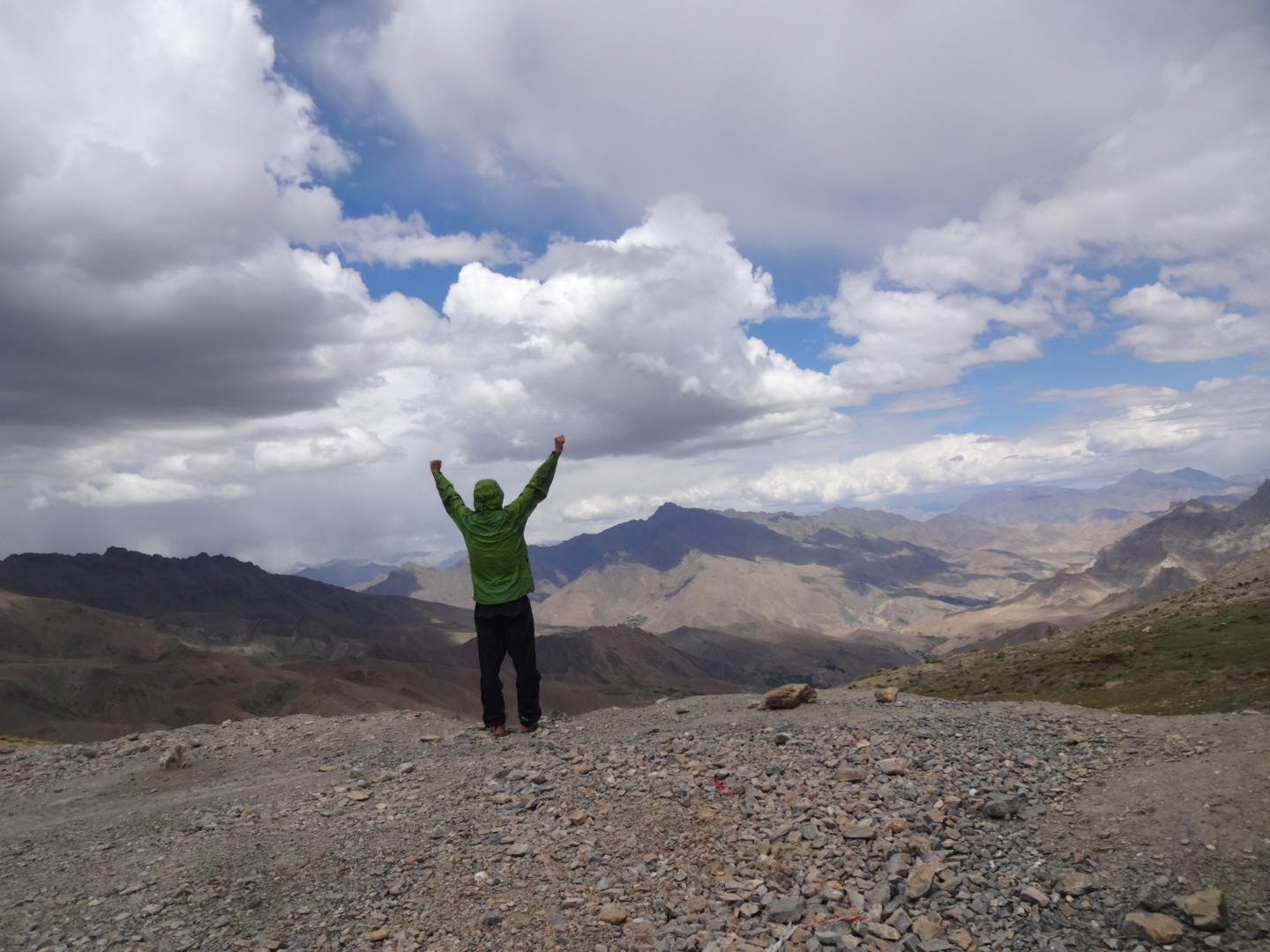
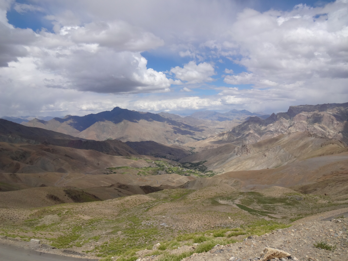
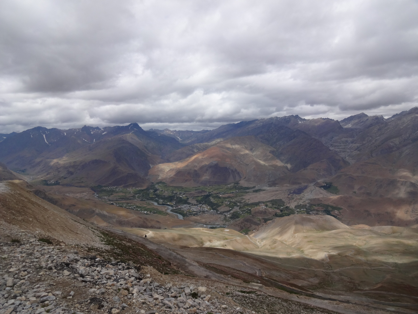
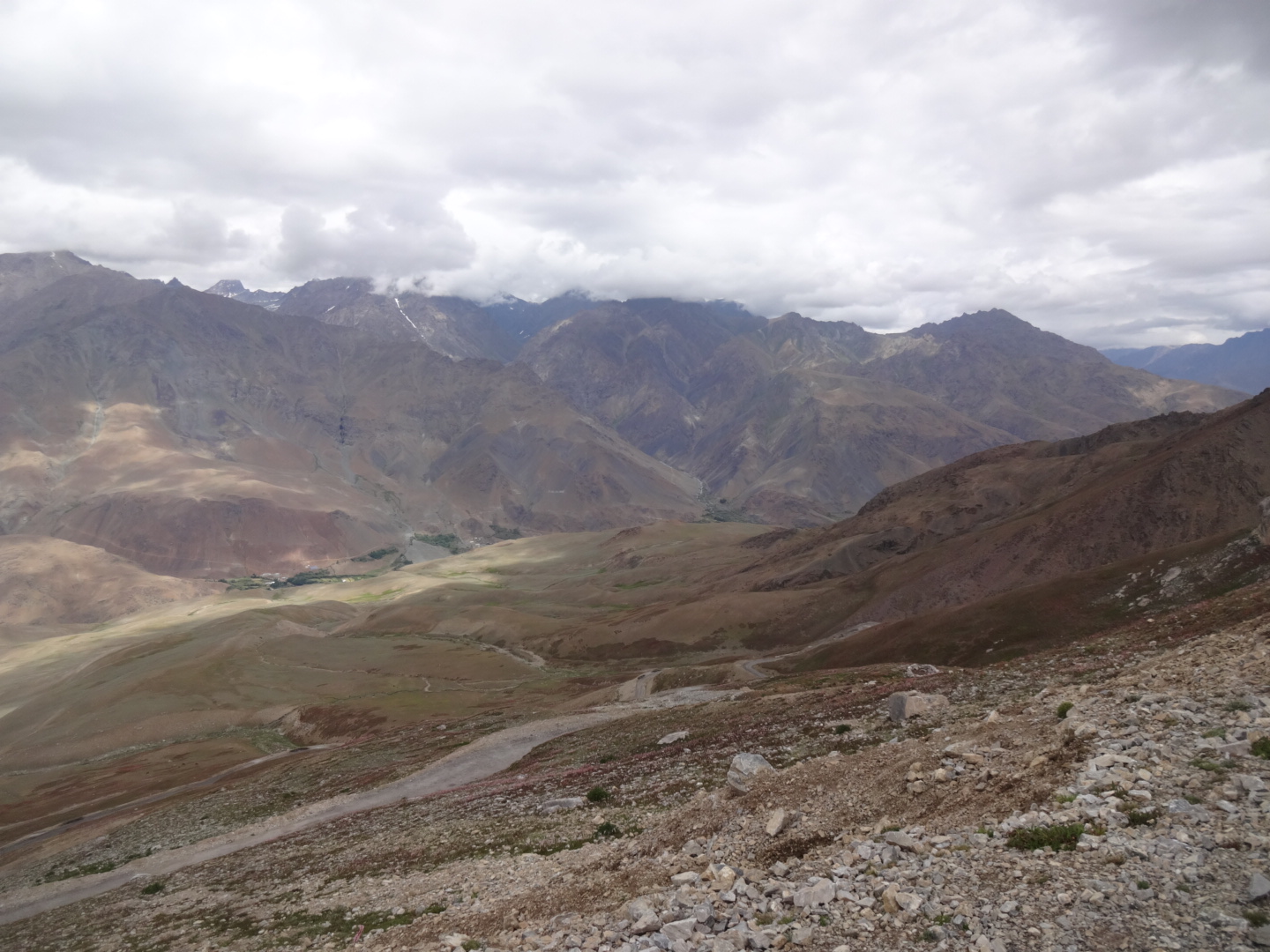
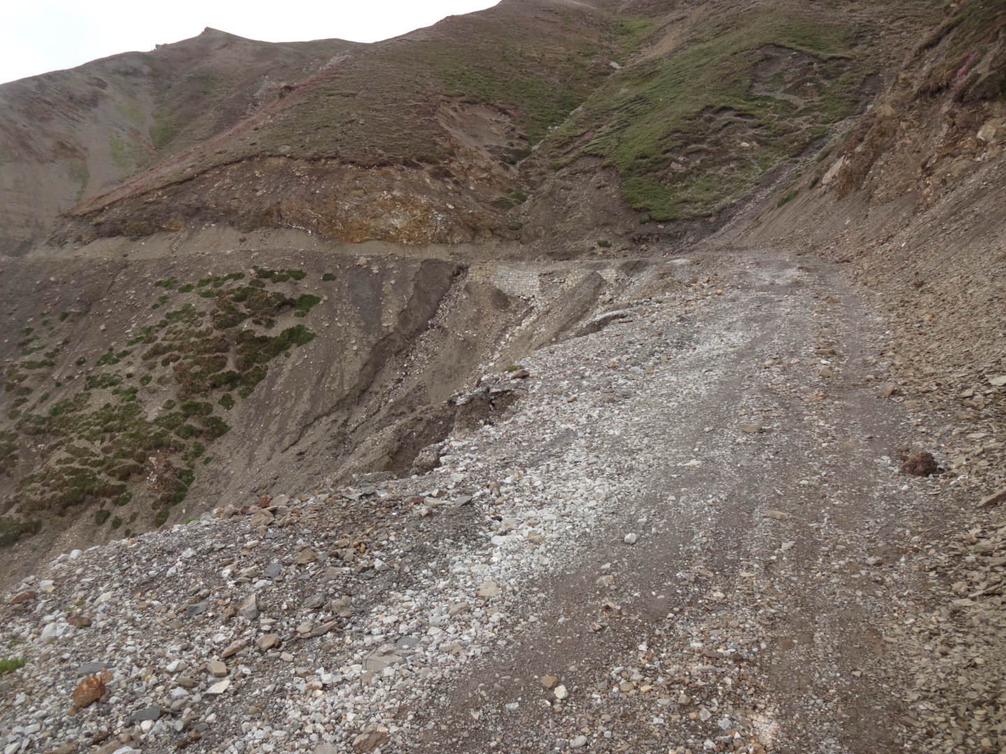
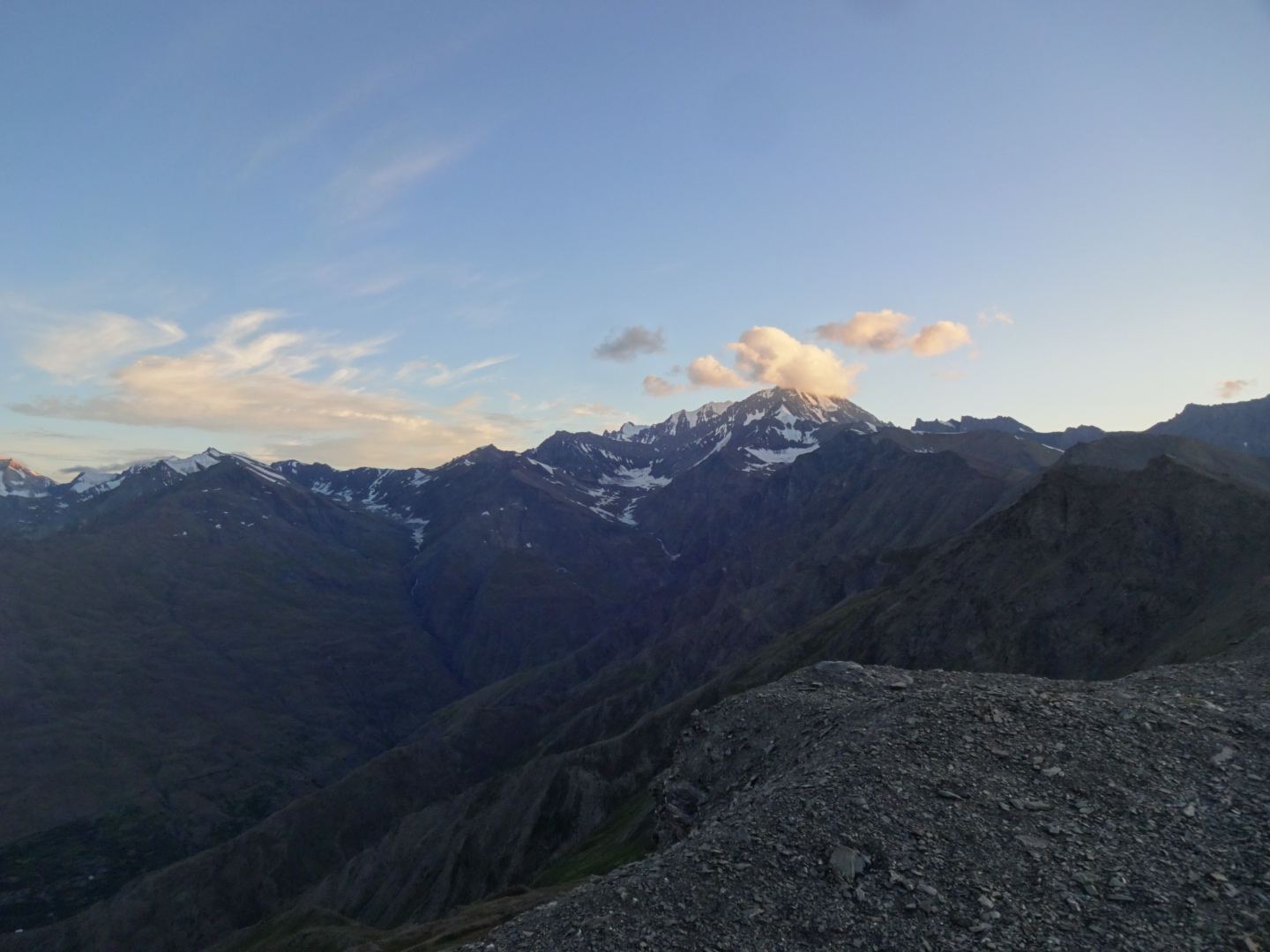
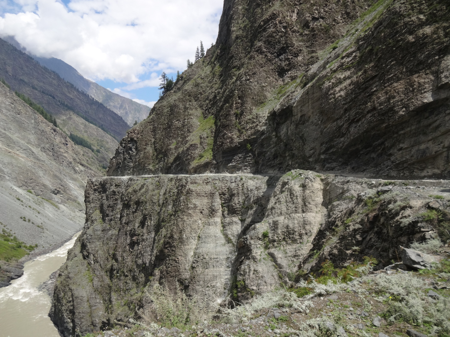
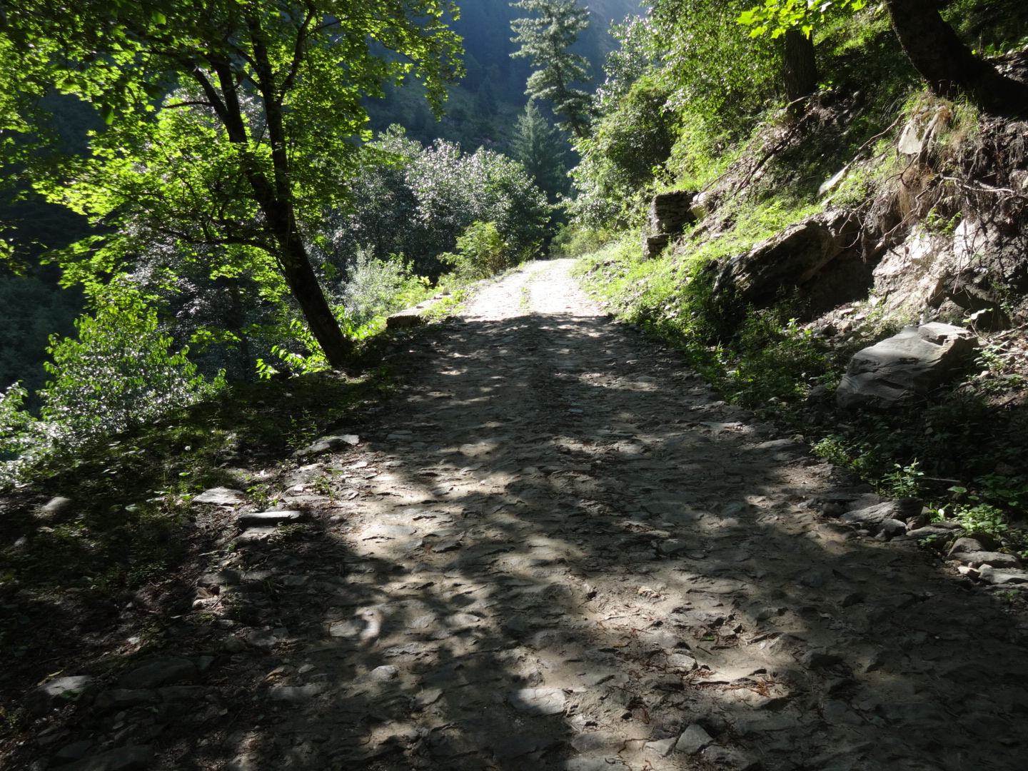
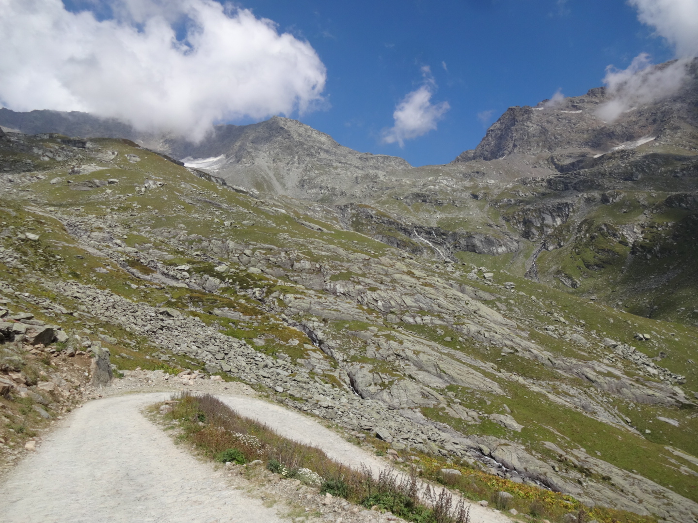
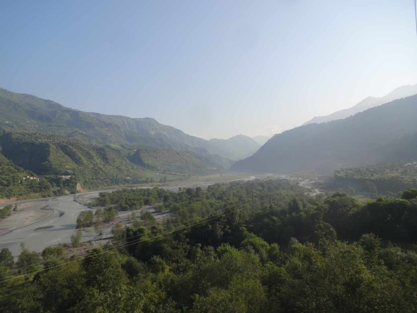
***** Spiti Valley (June 2016)
foreigners need a “protected area permit”. some people call it also “inner line permit”, which is actually wrong, as “inner line permits” are only issued to indian nationals (but in the end, you just need the fucking sheet of paper). you can get it in shimla, reckong peo, kaza (when you travel clockwise) or (afaik) in manali. in shimla, you need to be in a group of 4 foreigners and you have to pay 300rs per person. i got mine in reckong peo. you don’t need to be in a group, but you have to go through the “travel agent” which is located just outside the DC office and you have to pay 400rs per person. i met a guy who got the permit in kaza for free. i don’t know about manali.
the following things are written on the permit:
“during the period of transit through the restricted area the permit holder shall not be allowed to leave the national highway and shall not be allowed any night halt at the restricted area.”
“while in transit through the restricted area he/she shall not resort to photography. he/she shall not carry any maps/immagineries/connected material/satellite communication equipment other that route chars approved by ministry of defence.”
but no worries, i spent 2 days in the restricted area and nobody cared.
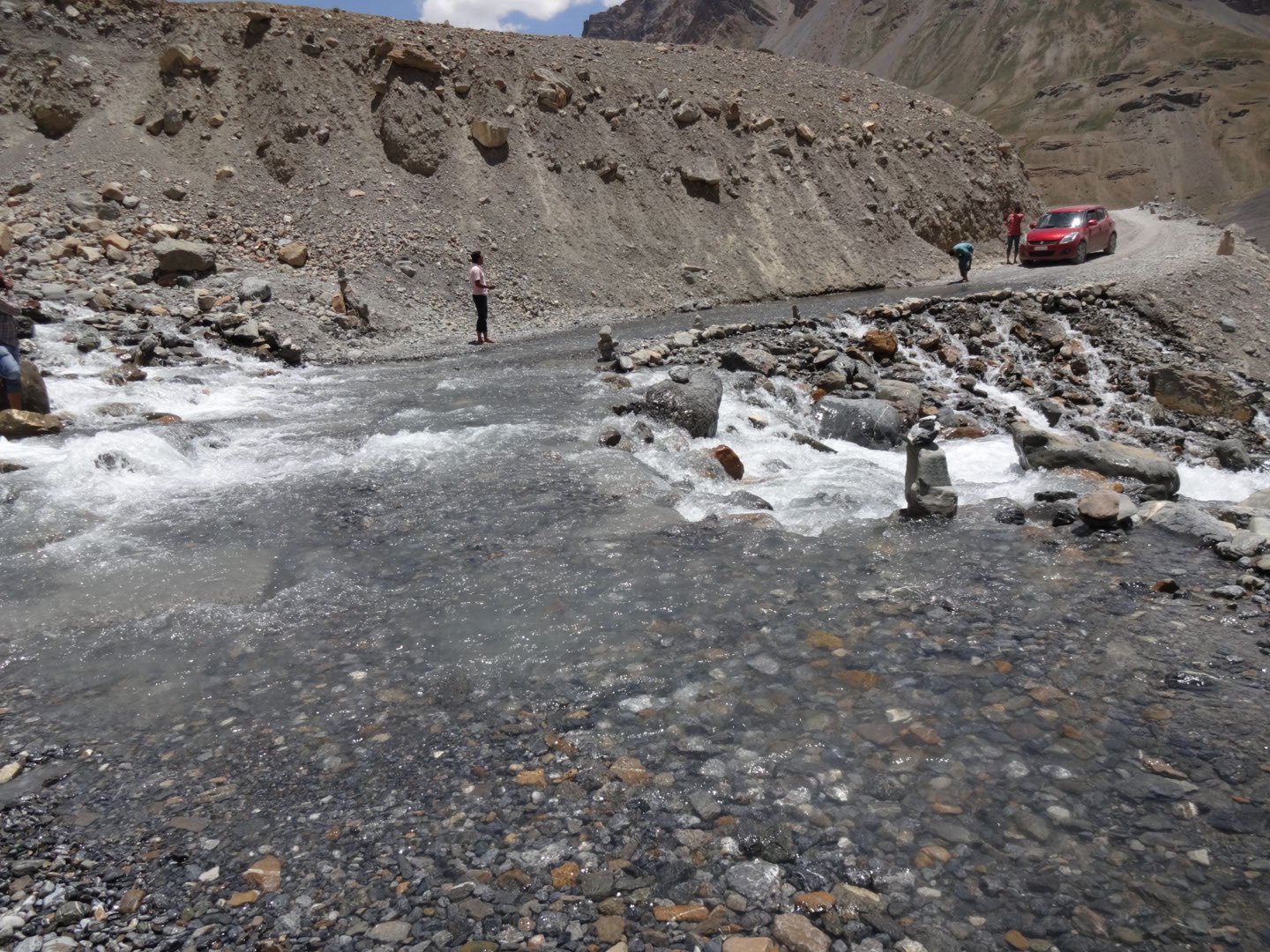
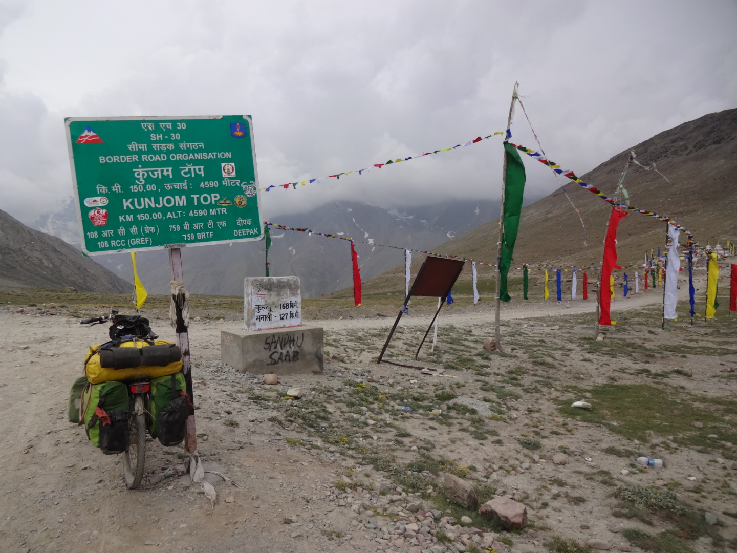
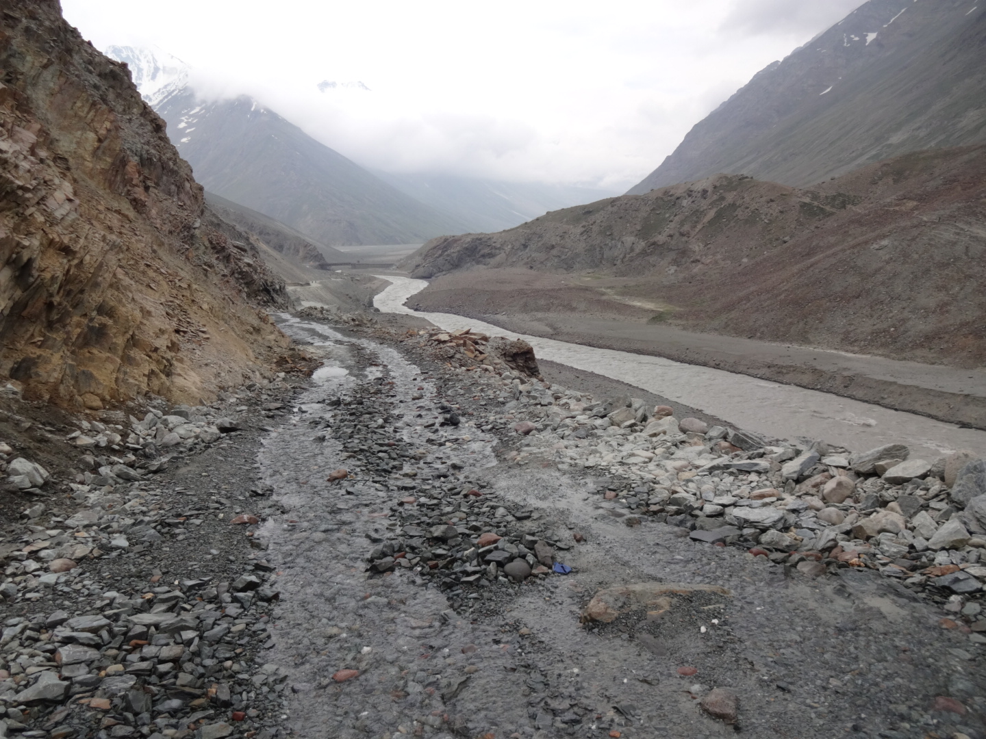
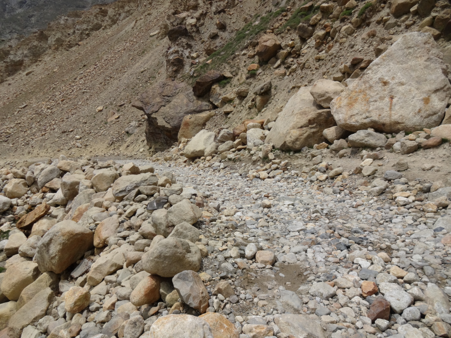
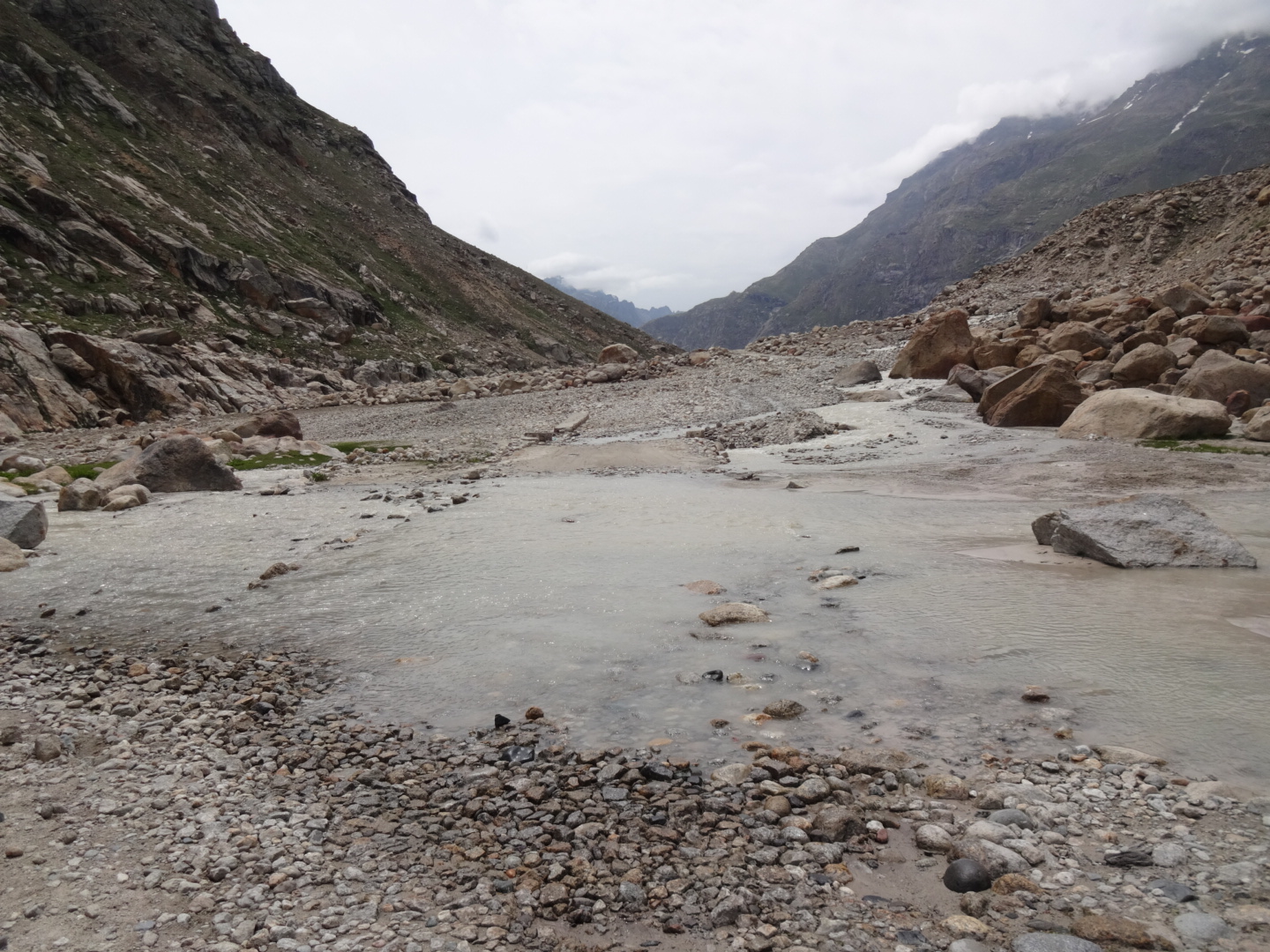
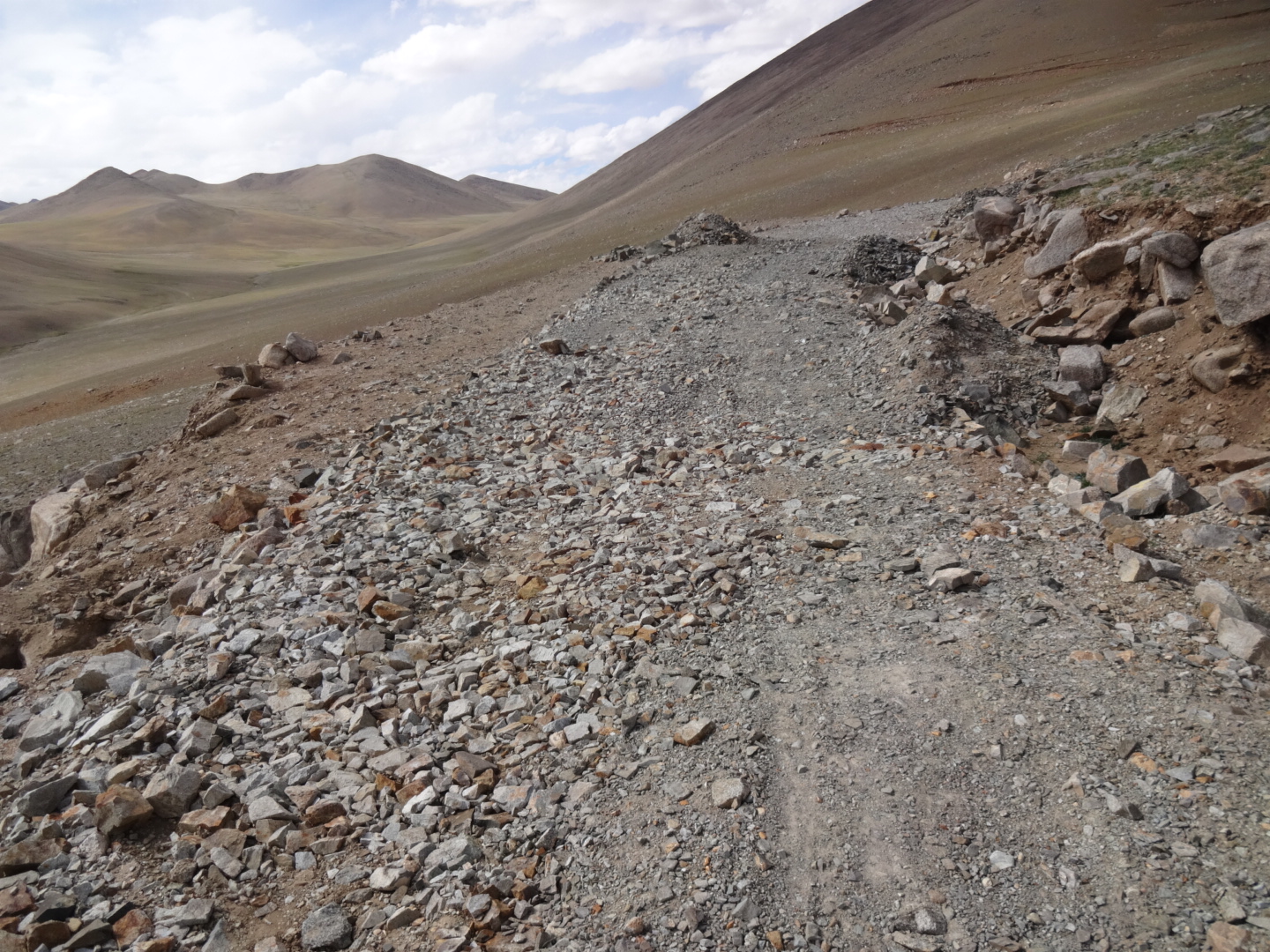
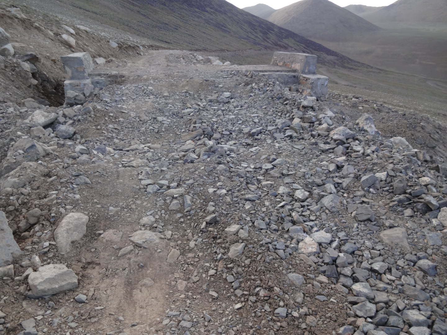
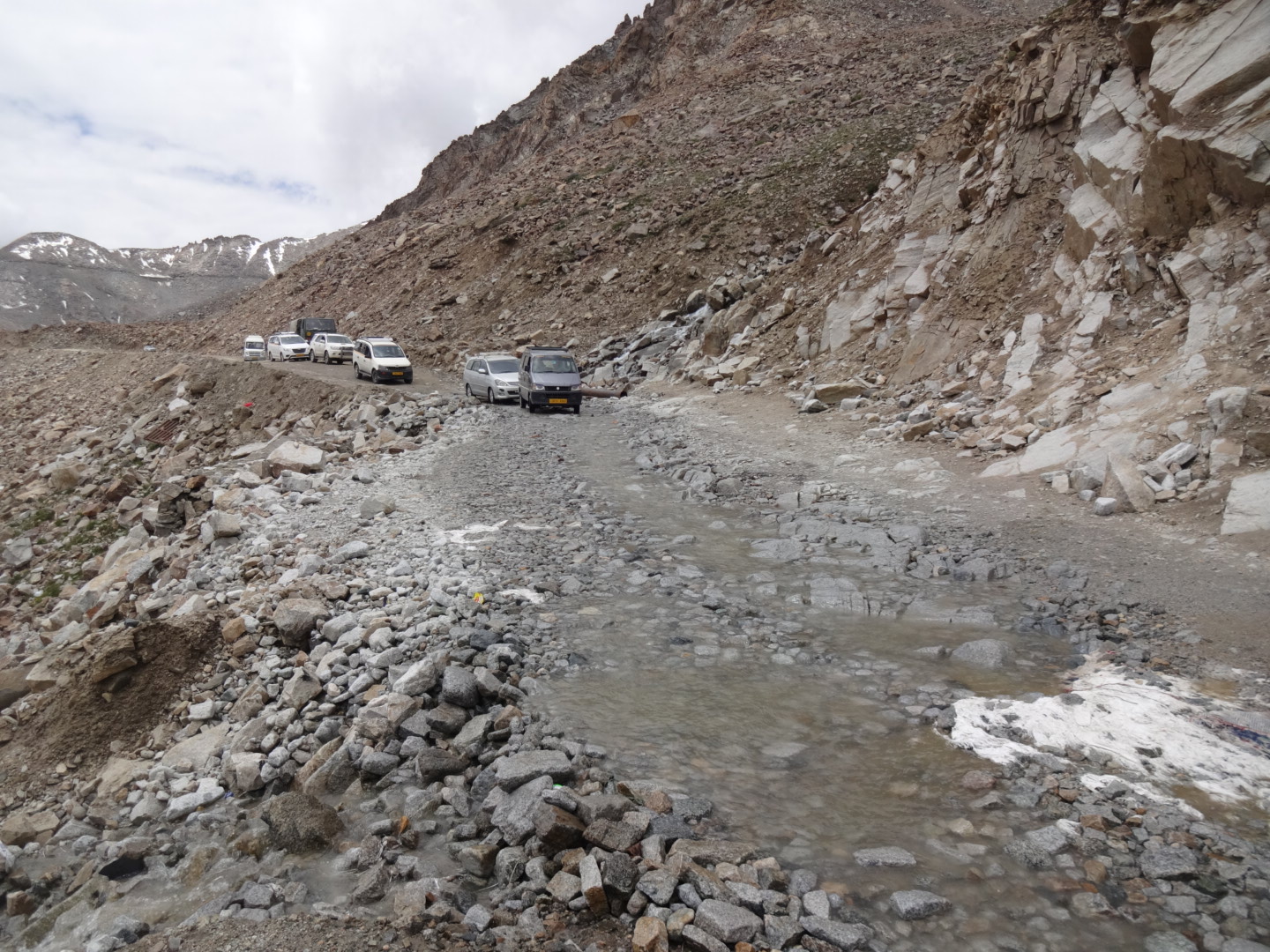
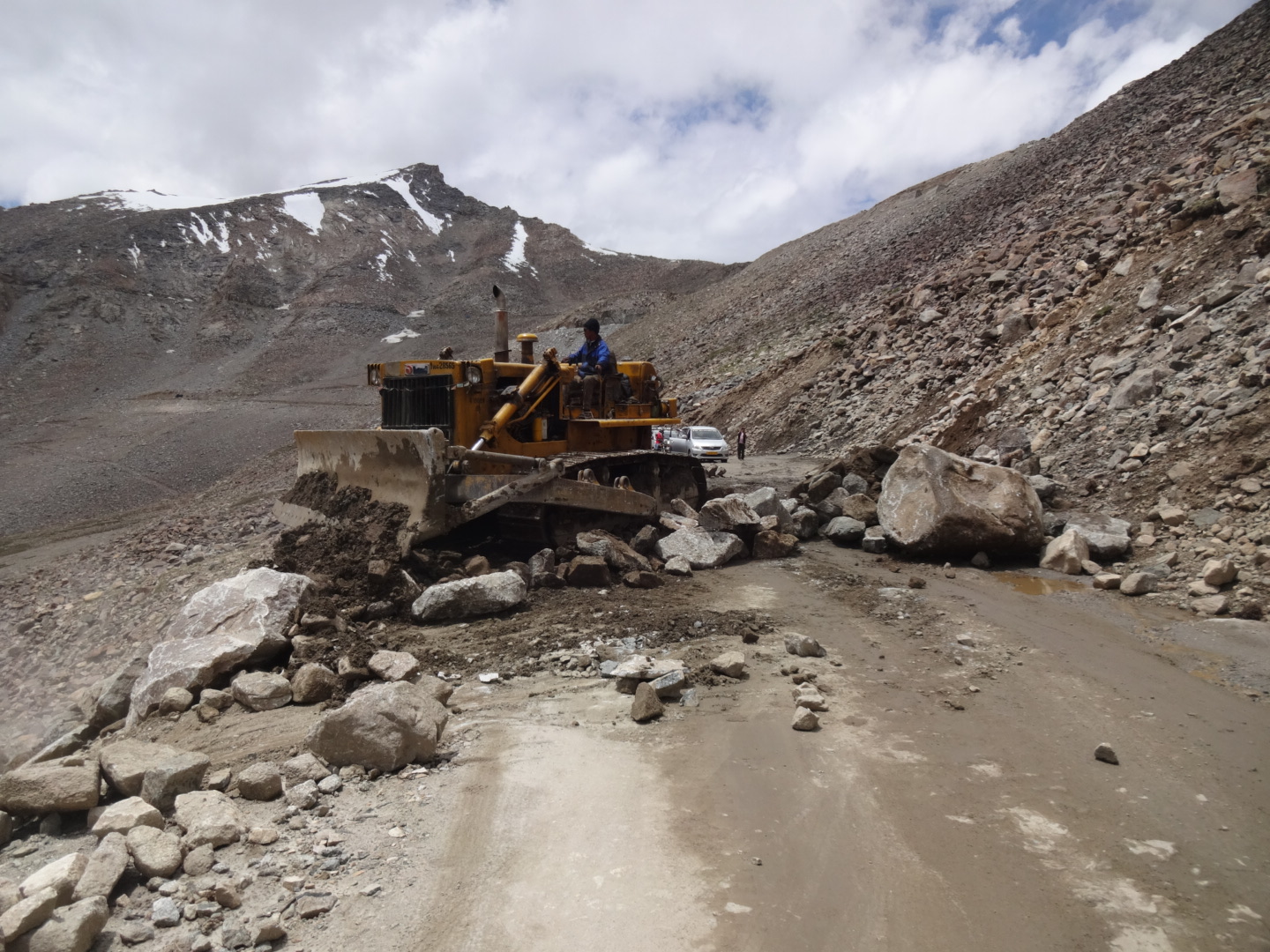
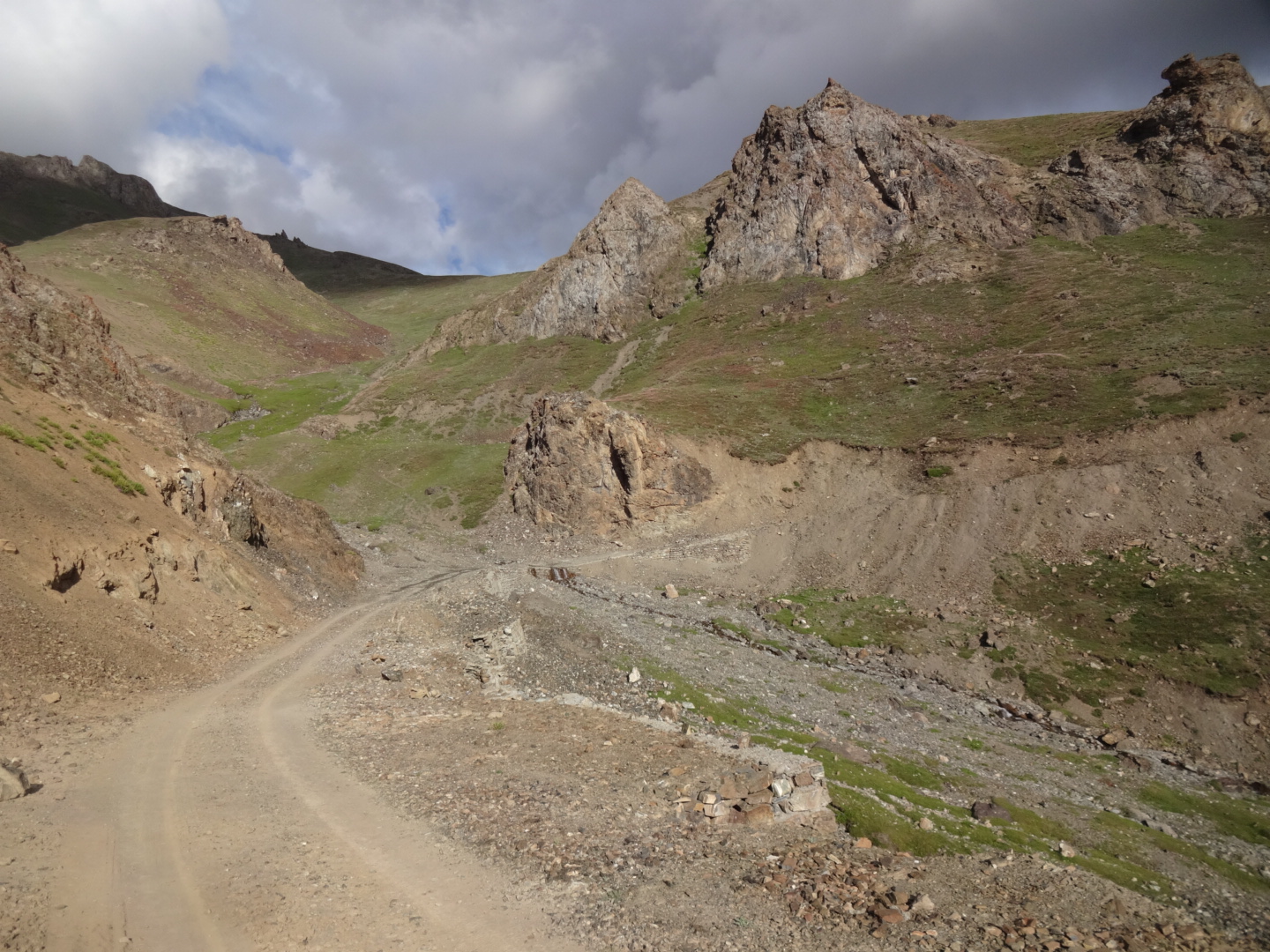
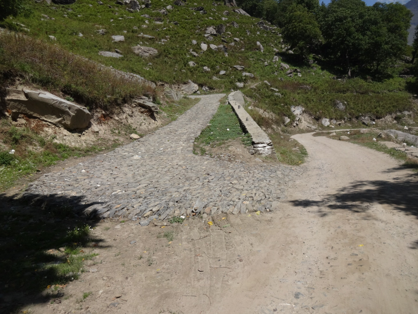
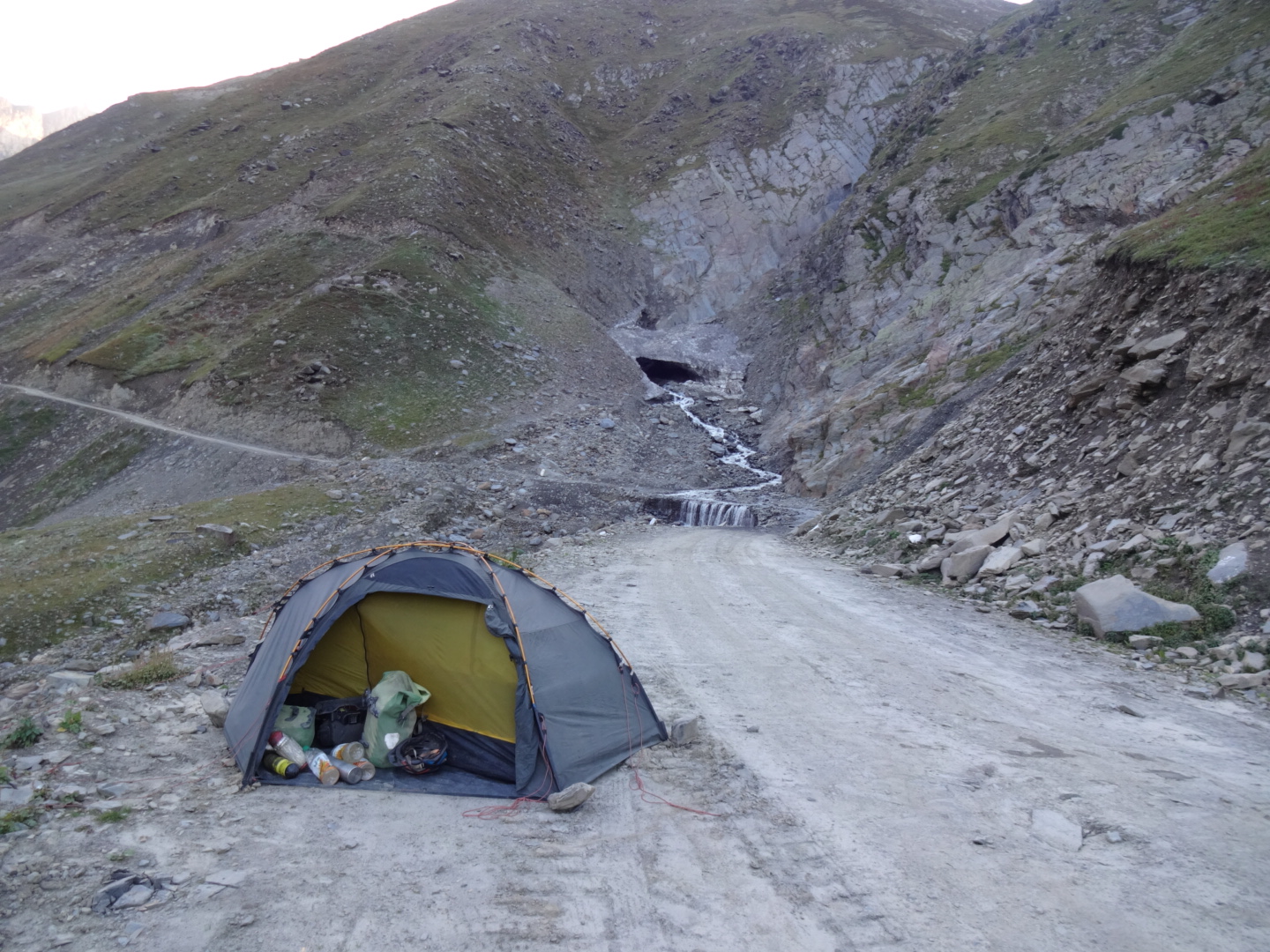
the road in the restricted area was usually good. on the way to losar, the road was unpaved and bumpy. after losar, the climb to kunzum la (4590m) was unpaved and in bad shape. the road from kunzum la to the tent-village batal was even worse. after batal, the road was very rough and included a few river crossings.
NOTE: i wanted to cross chanshal pass from dodra to rohru, so my plan was to cycle shimla-hatkoti-tiuni-natwad-dodra-rohru-rampur. but the road showed in google maps from dhaula to dodra turns into a very rough trekking path, pushing an unloaded bicycle was not possible! so as far as i know now, there is only one road leading to dodra, namely the one from rohru over the chanshal pass and thus it’s a dead-end road.
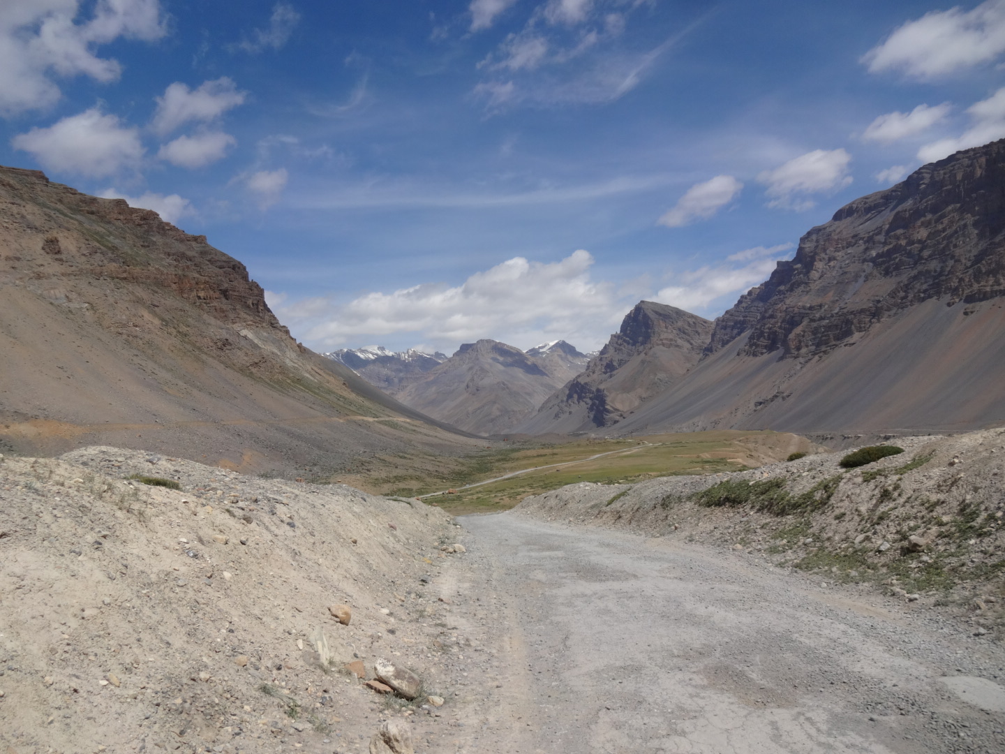
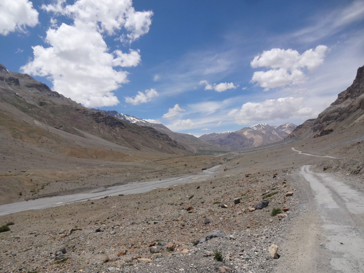
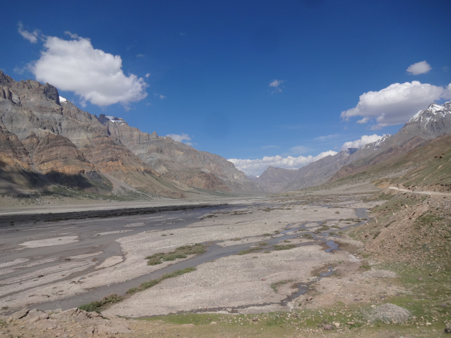
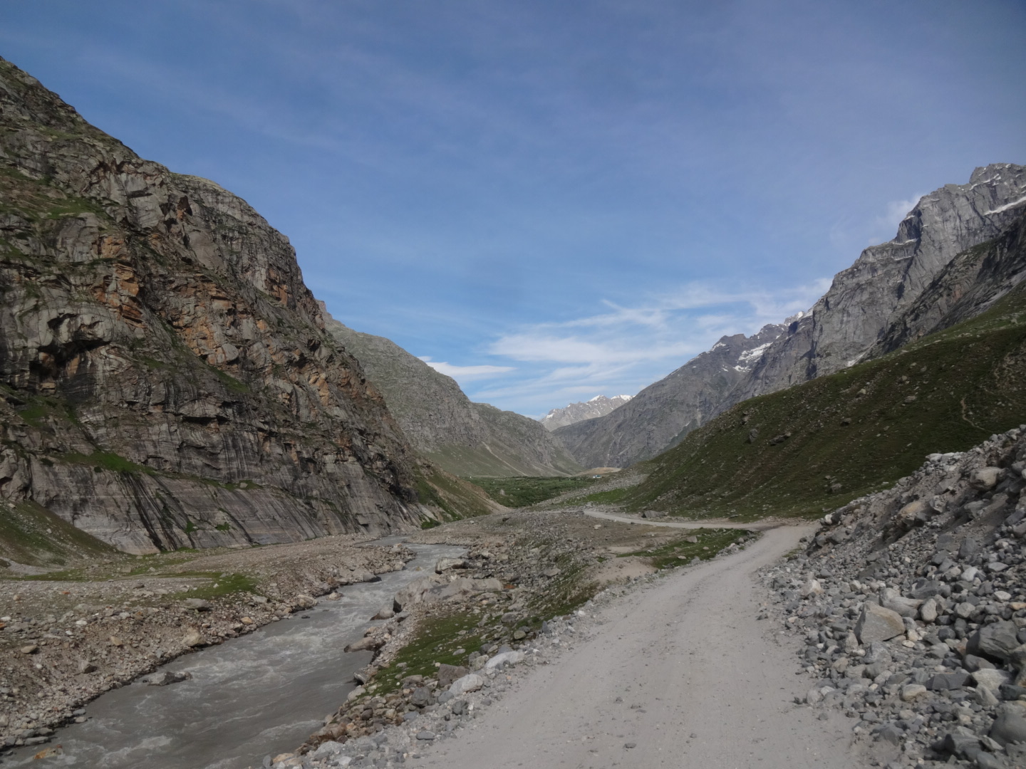
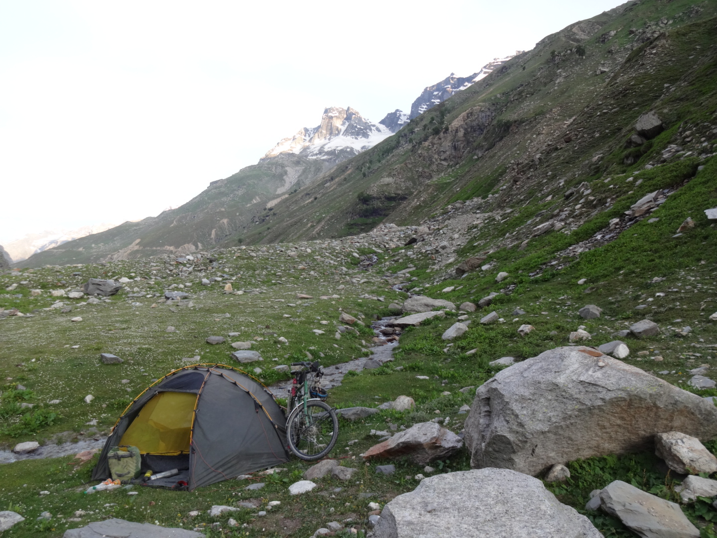
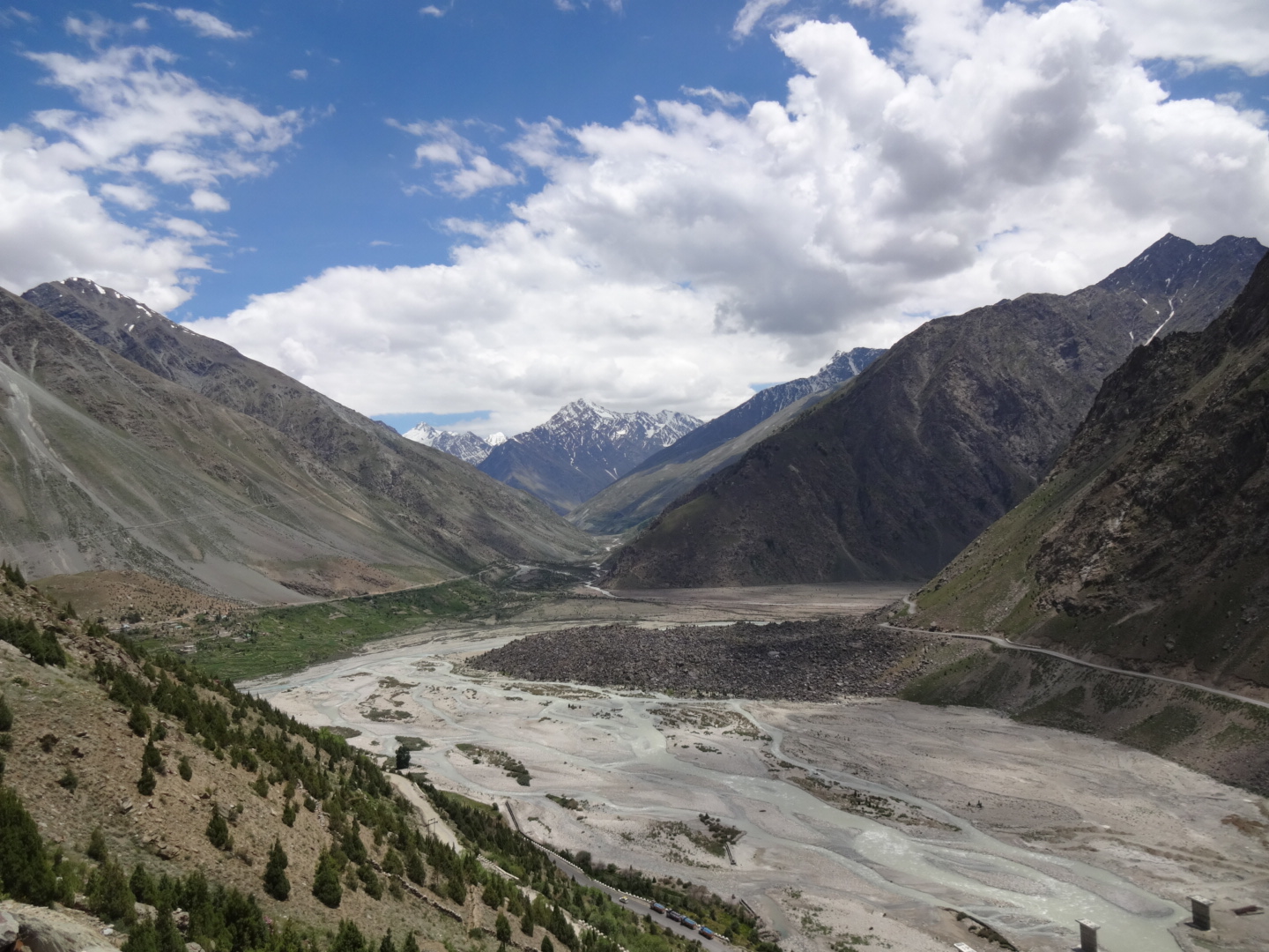
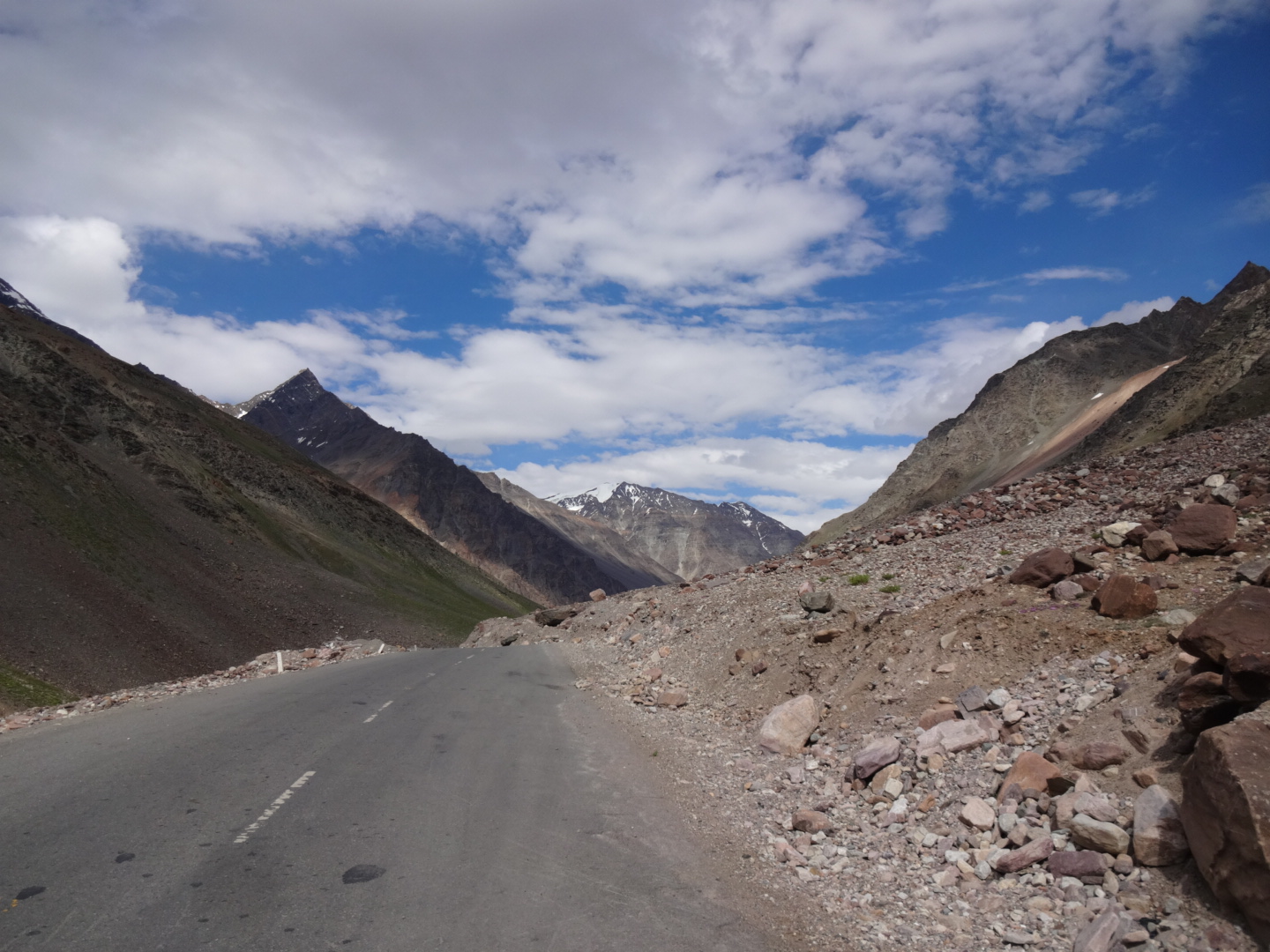
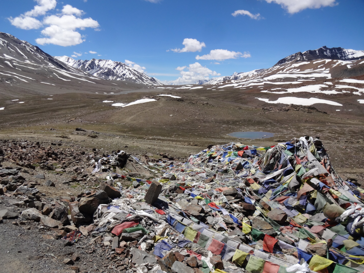
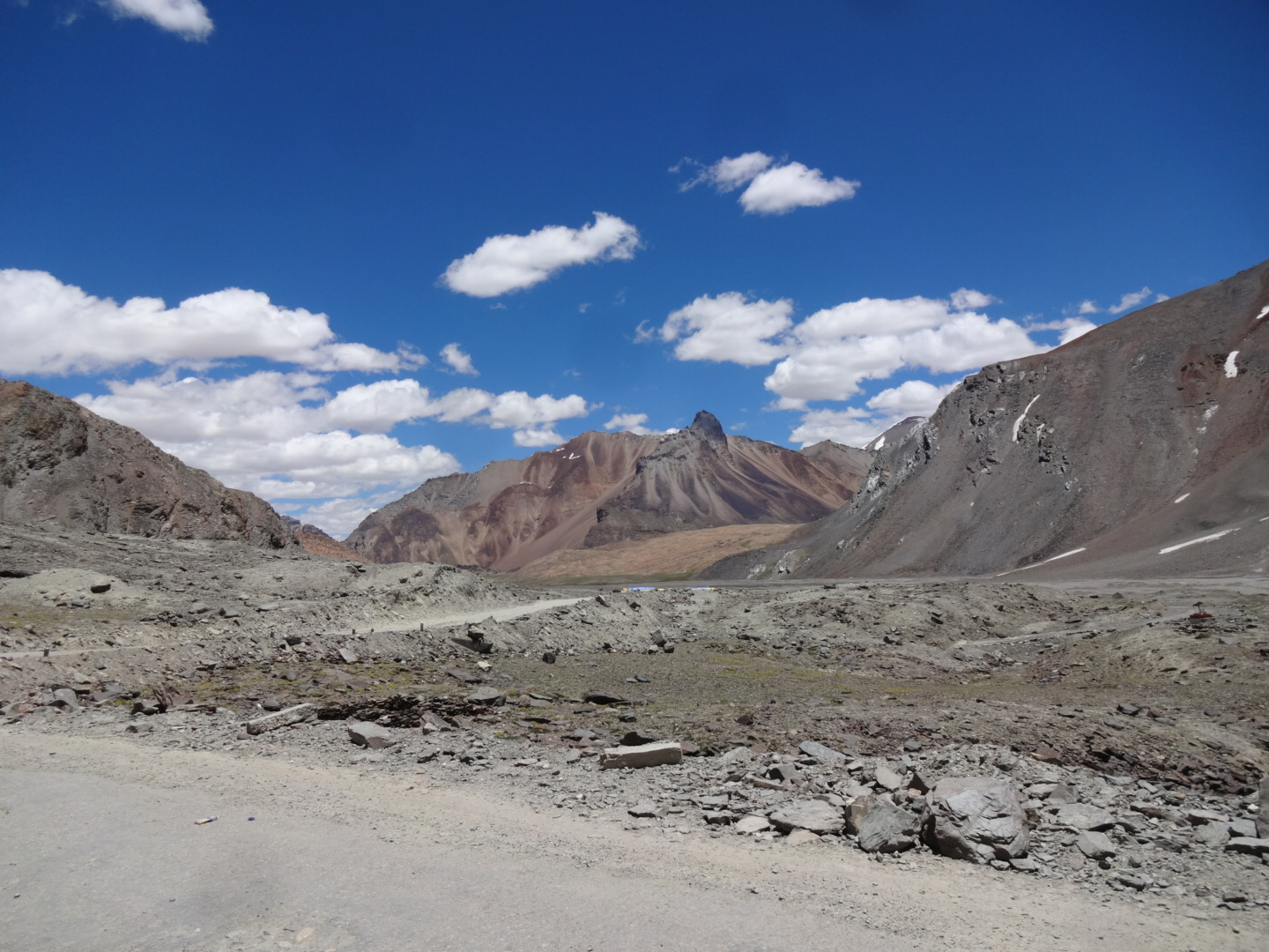
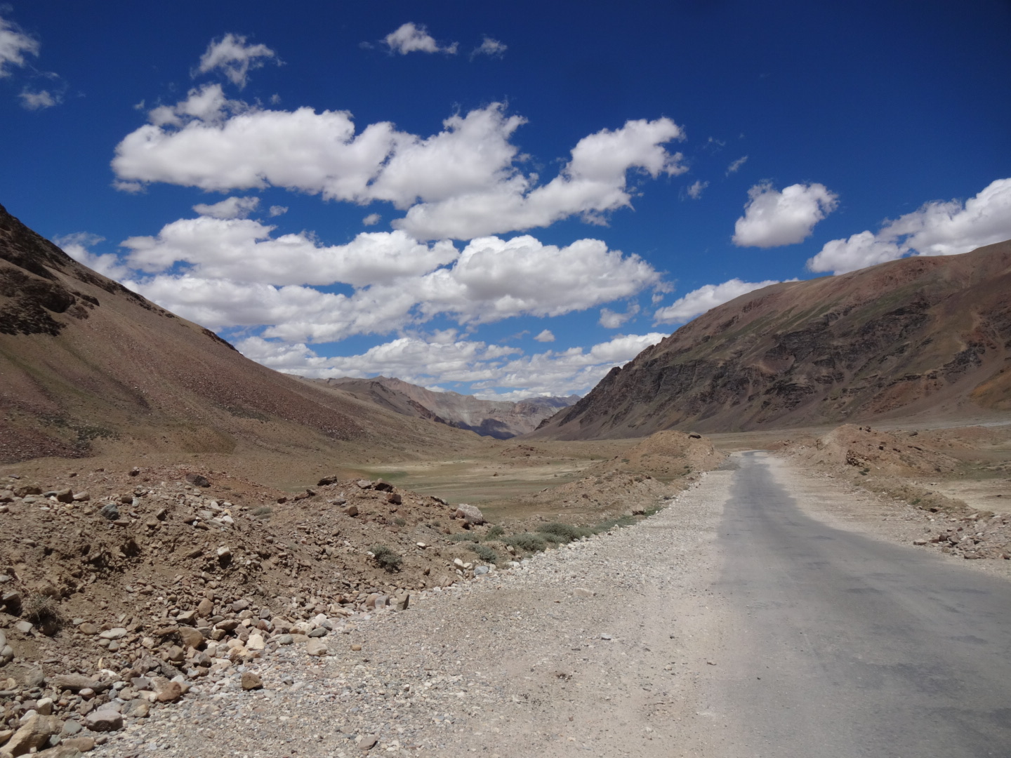
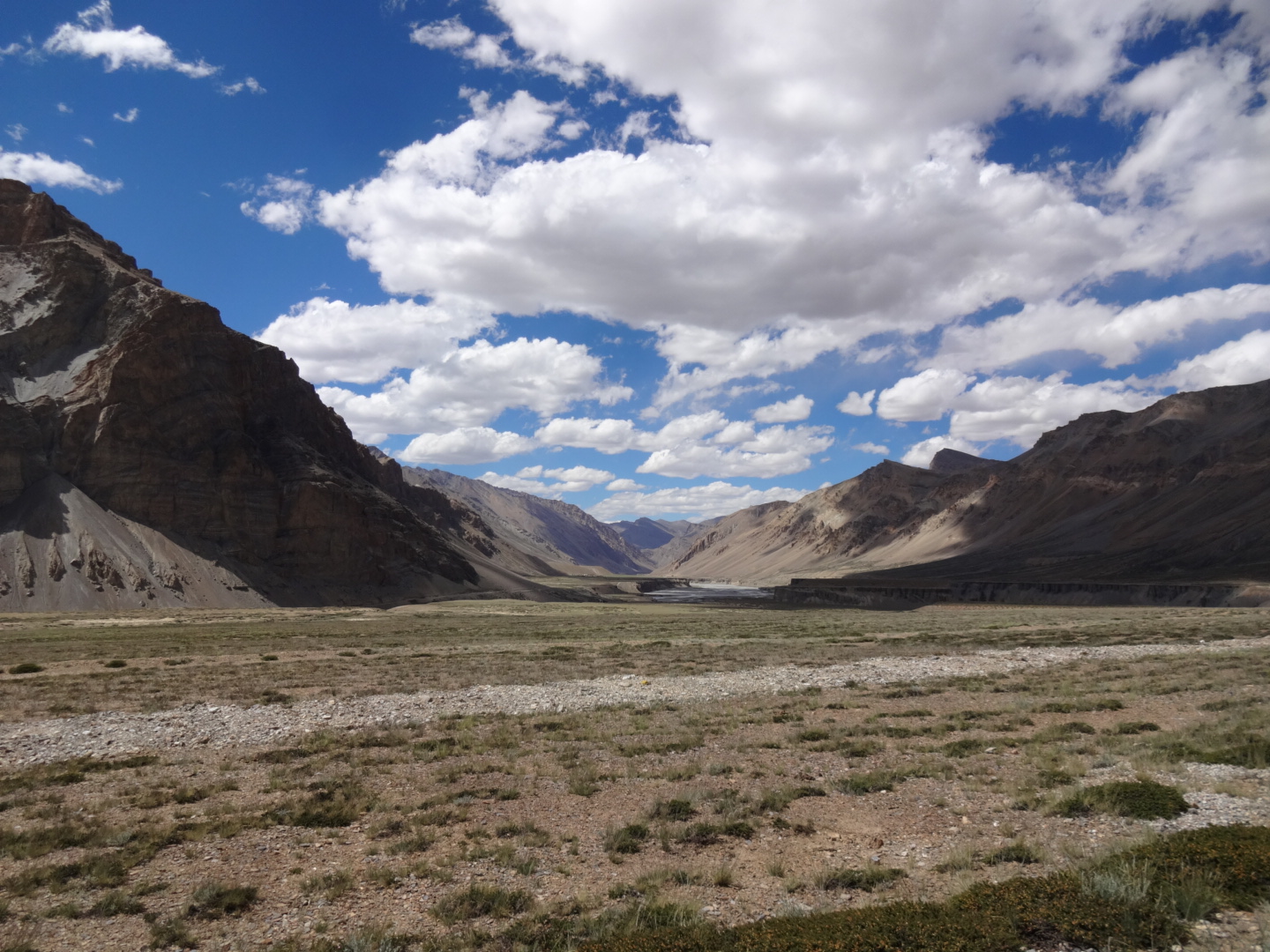
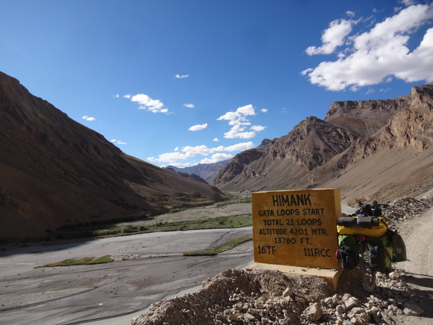
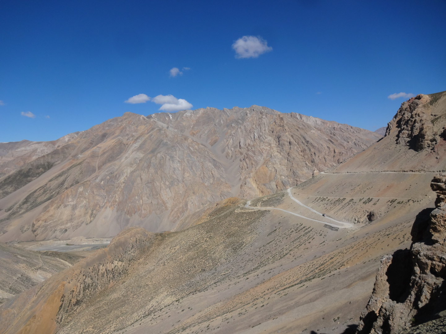
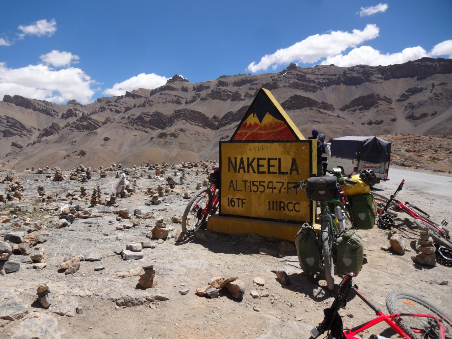
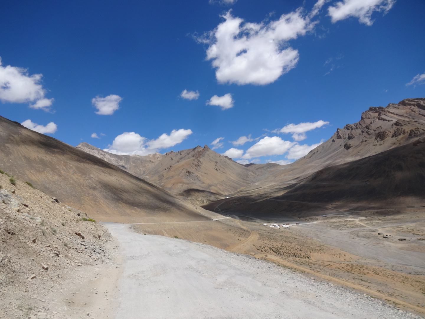
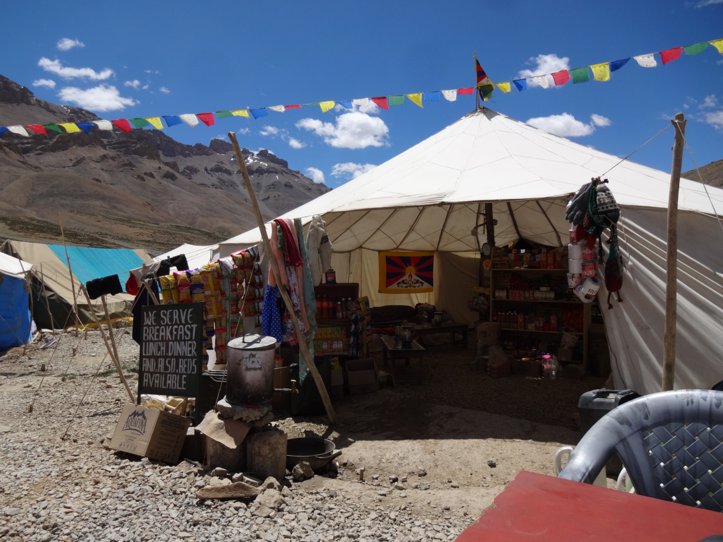
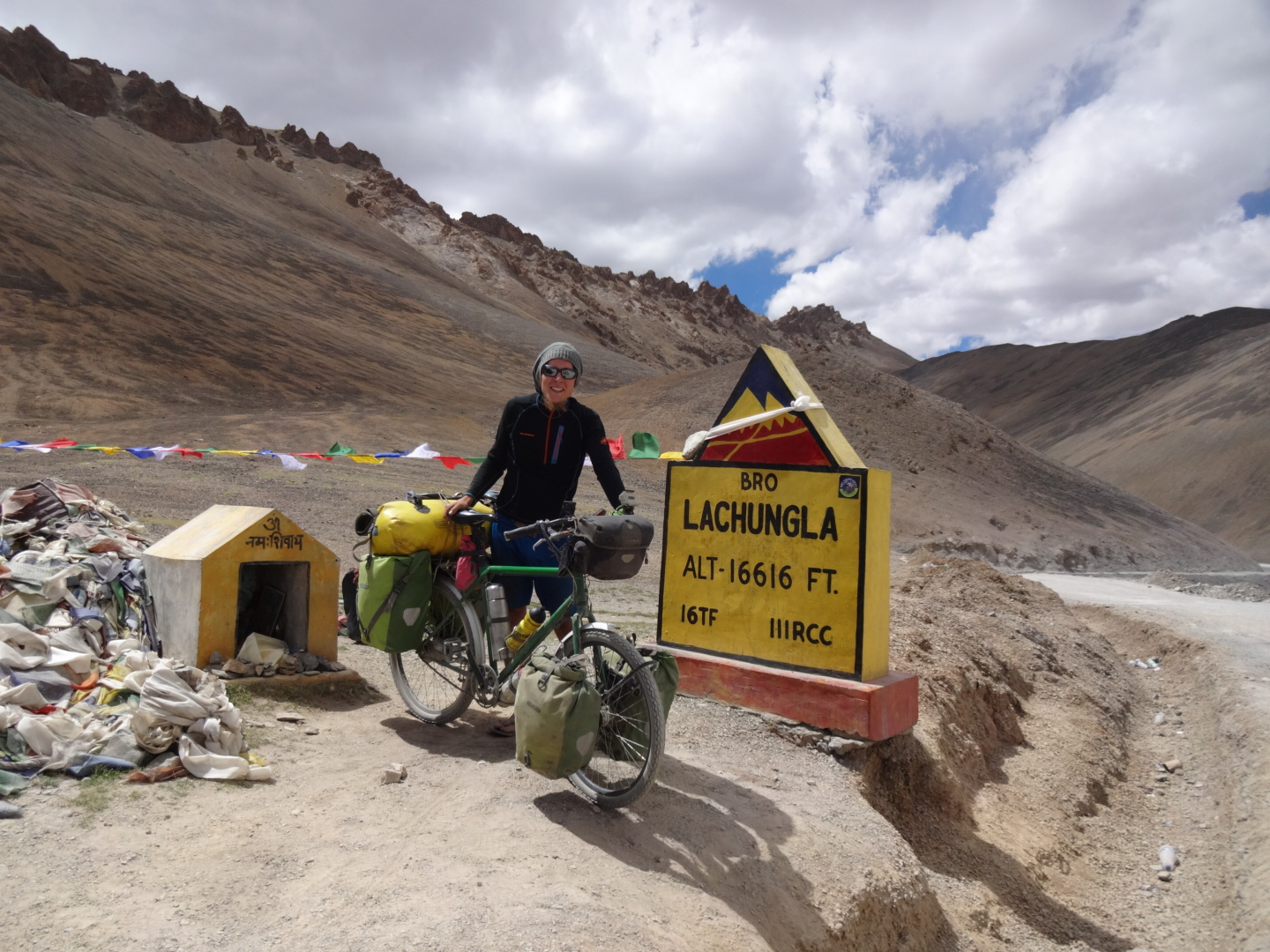
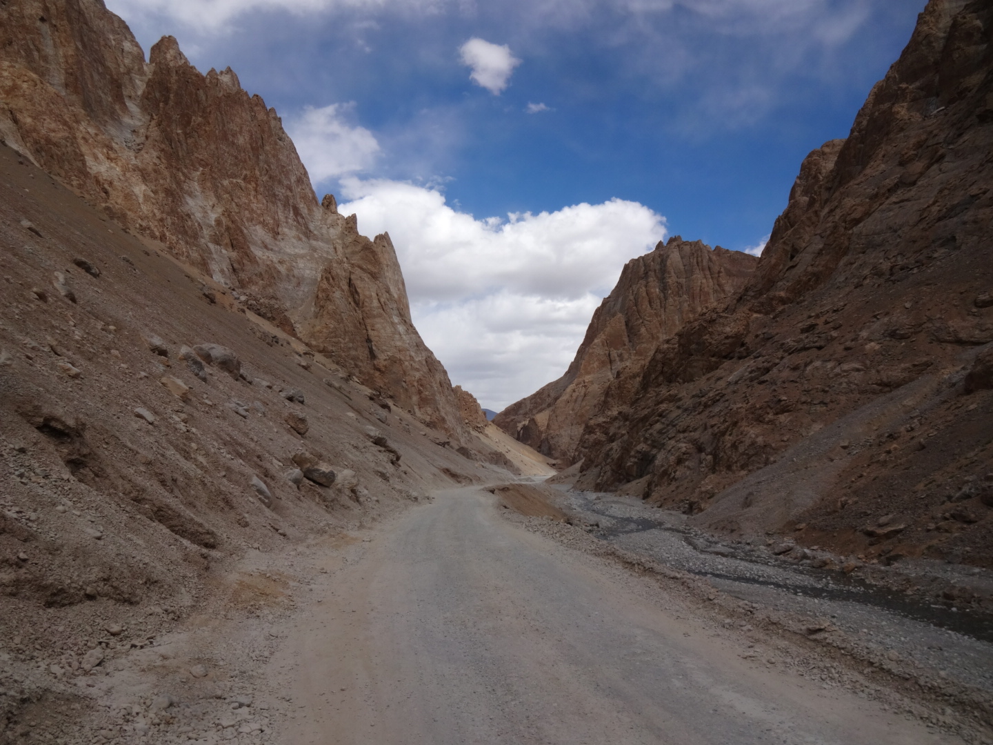
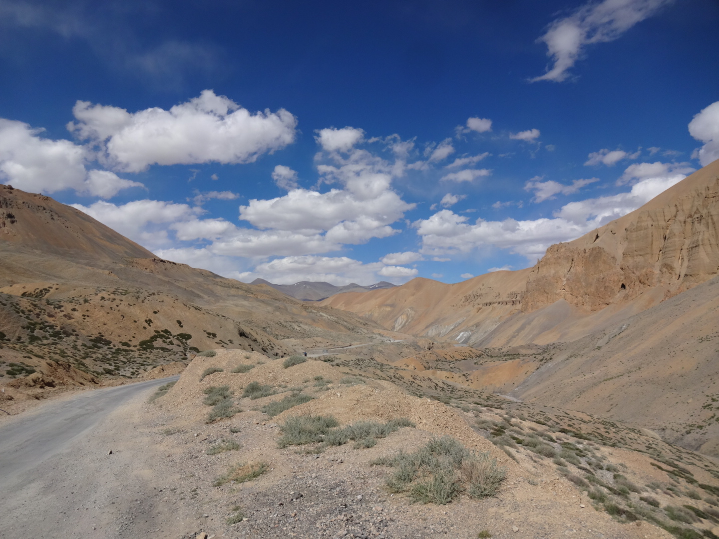
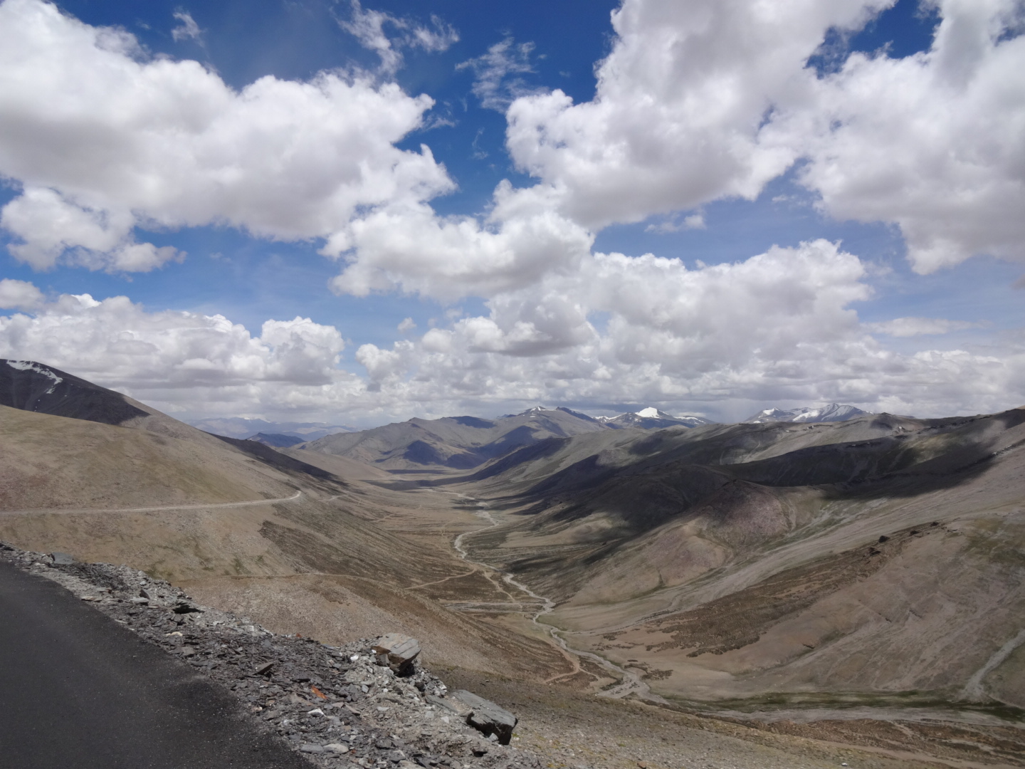
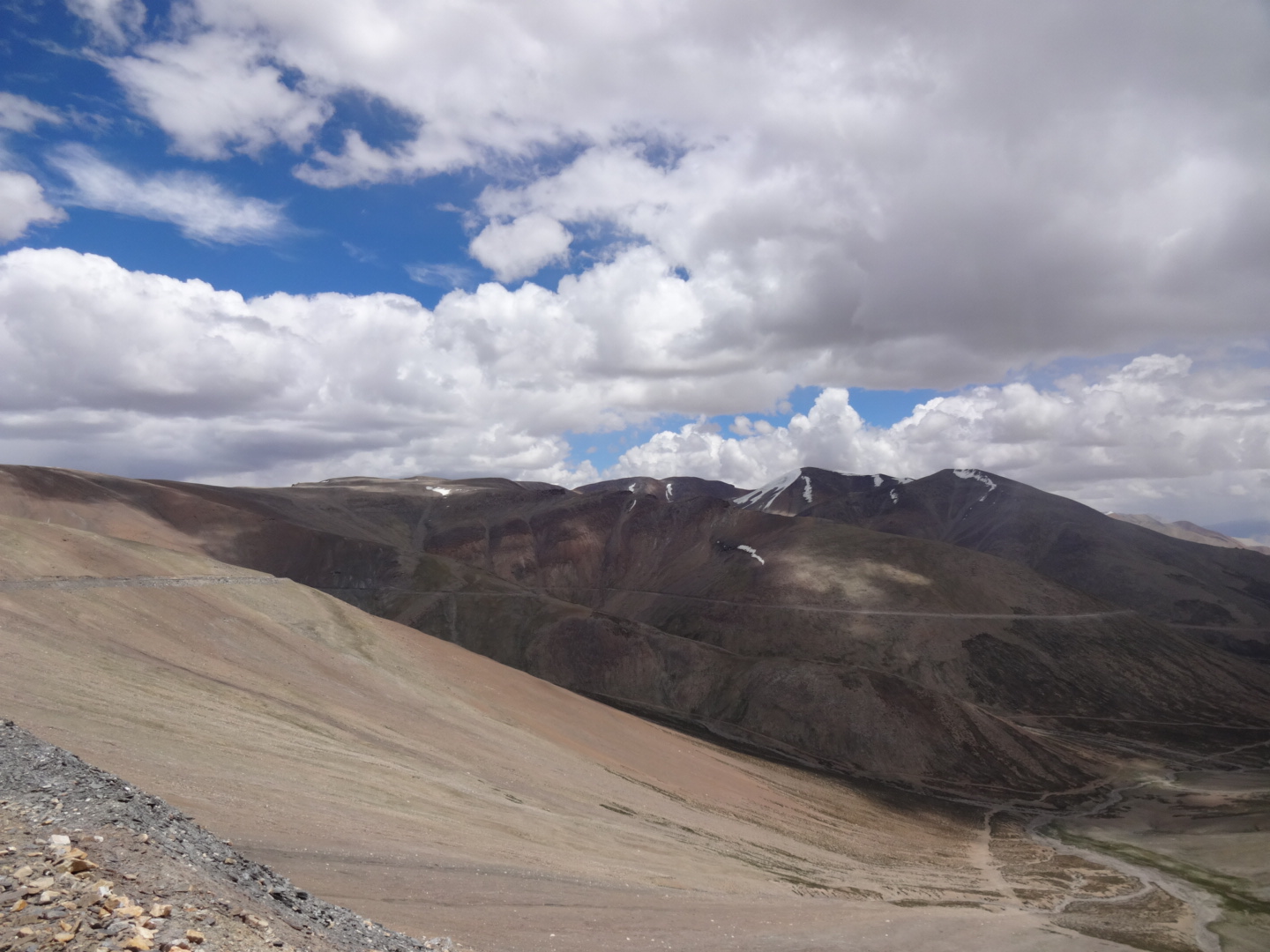
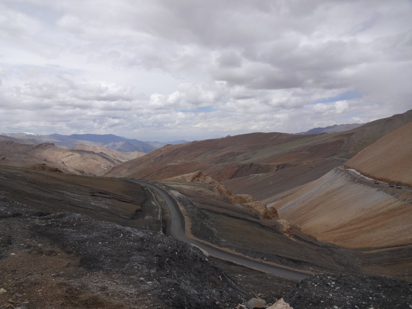
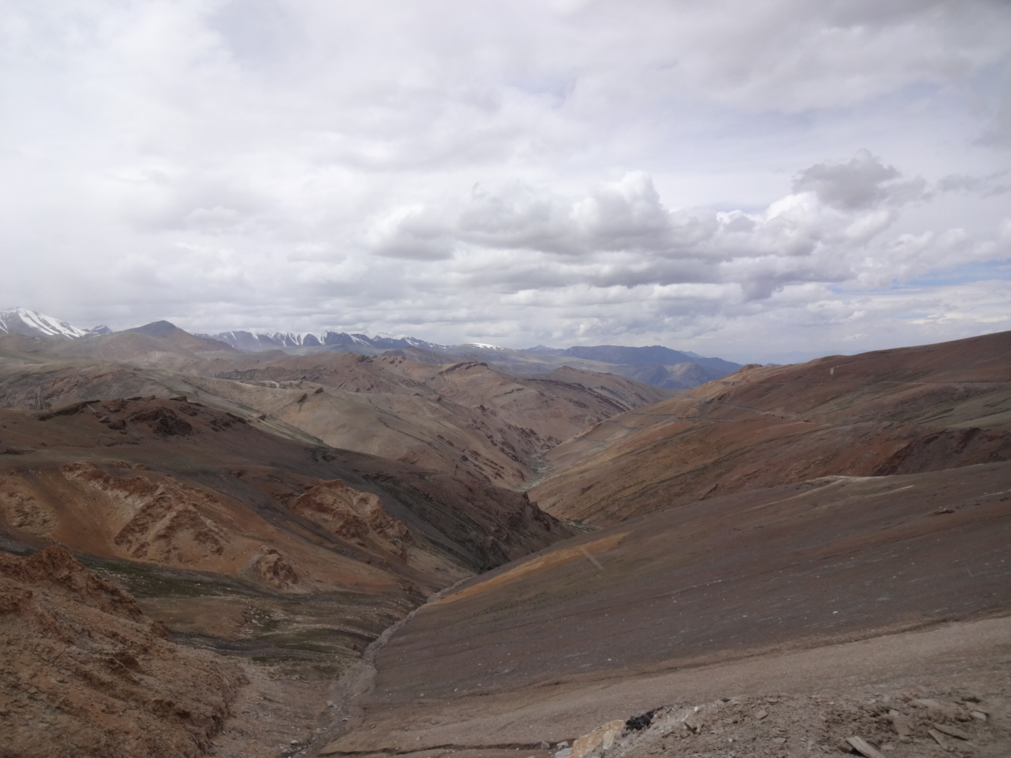
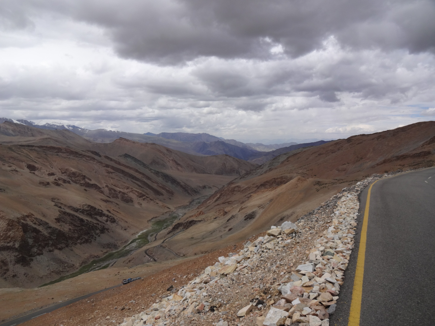
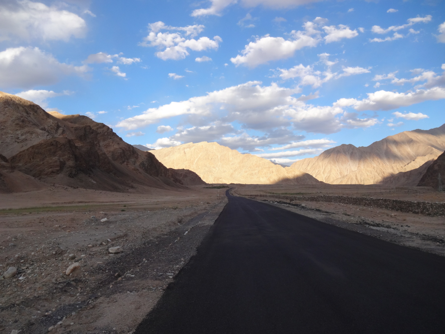
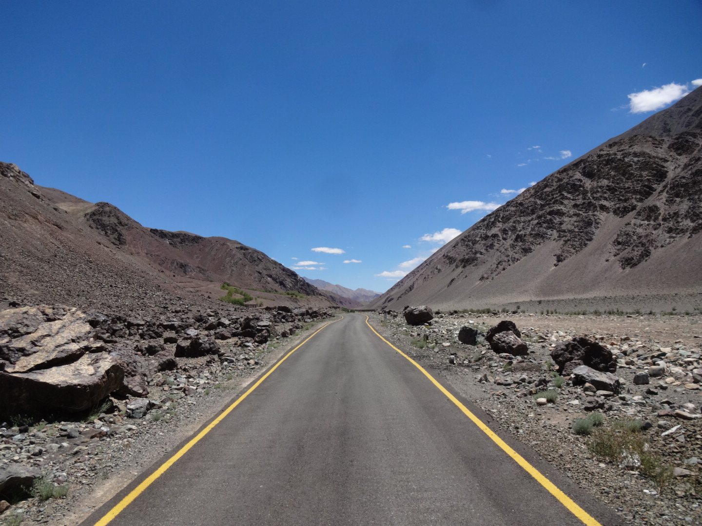
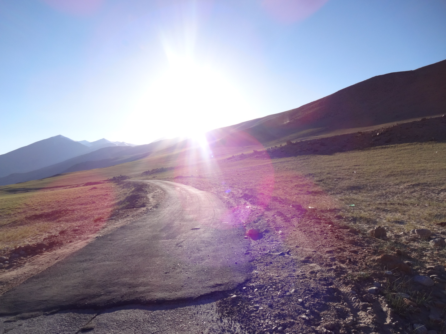
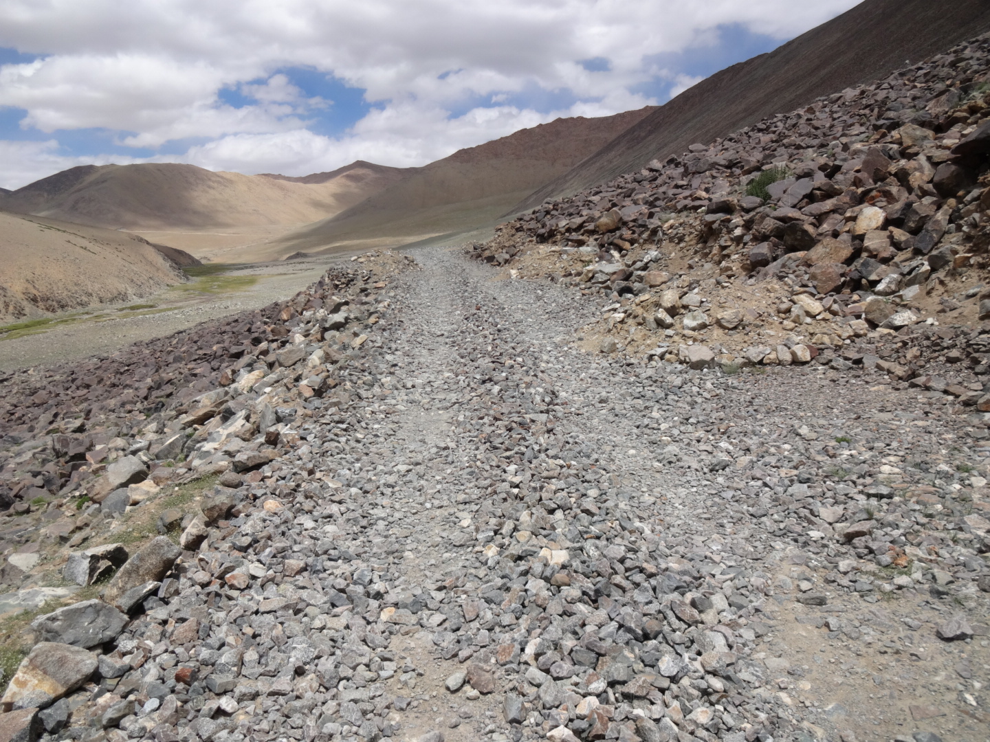
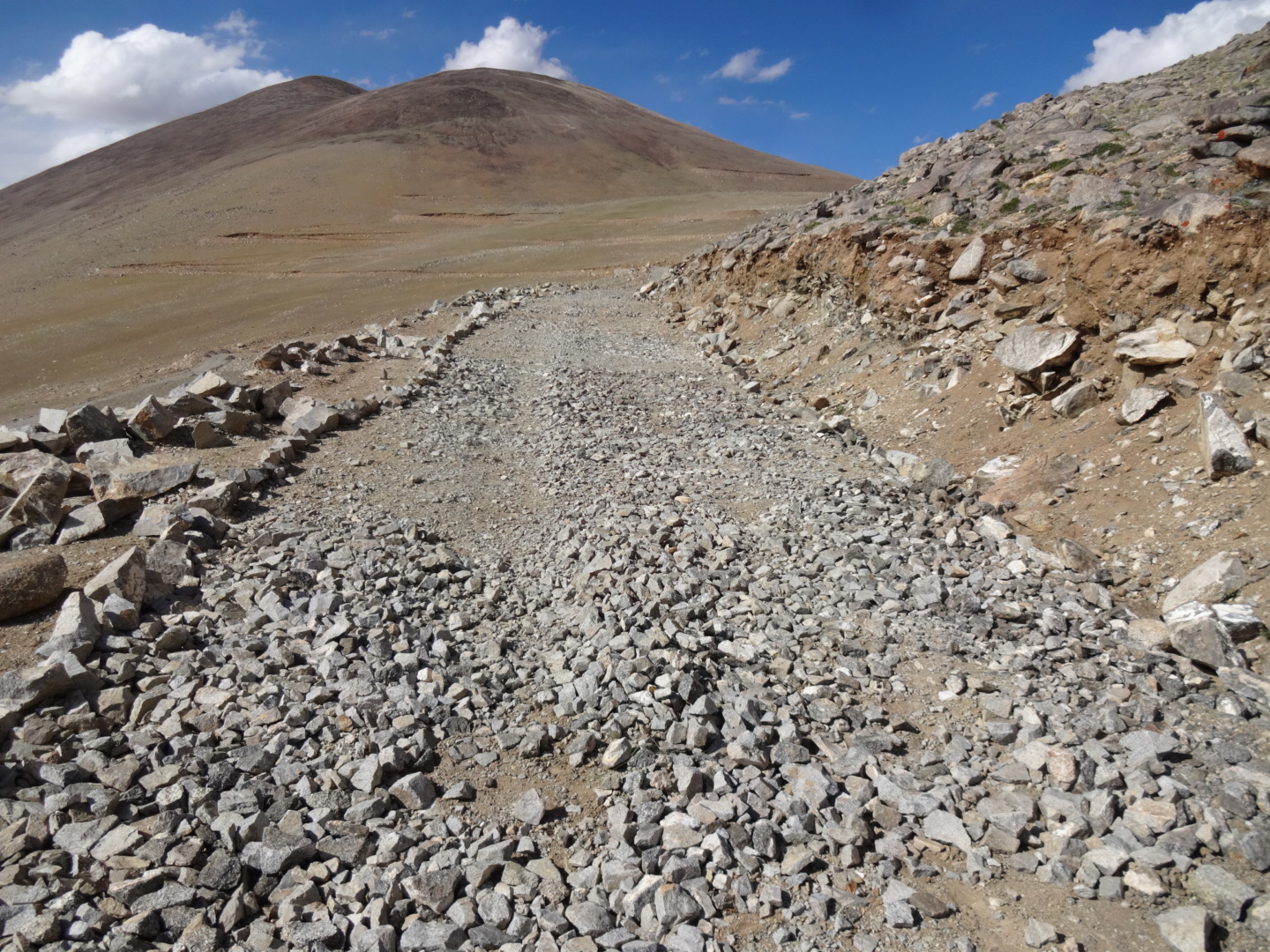
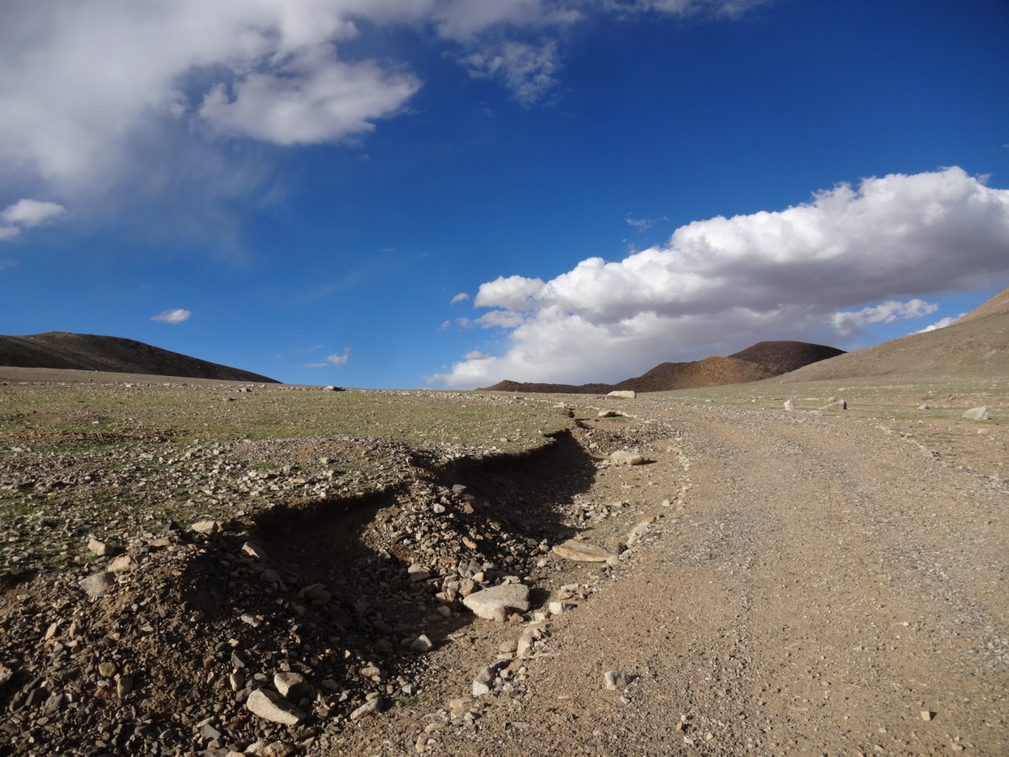
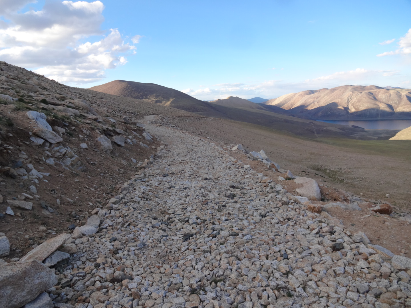
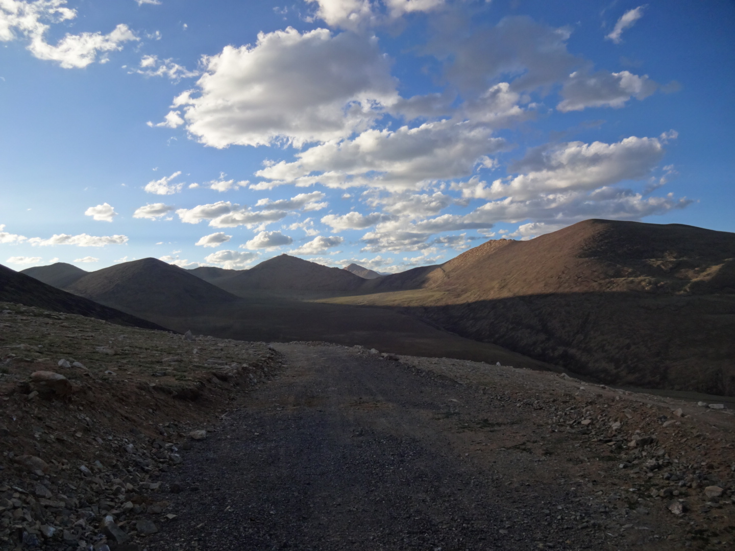
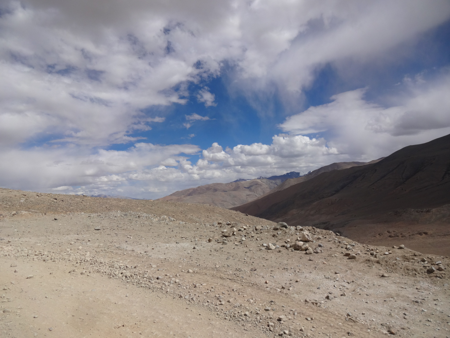
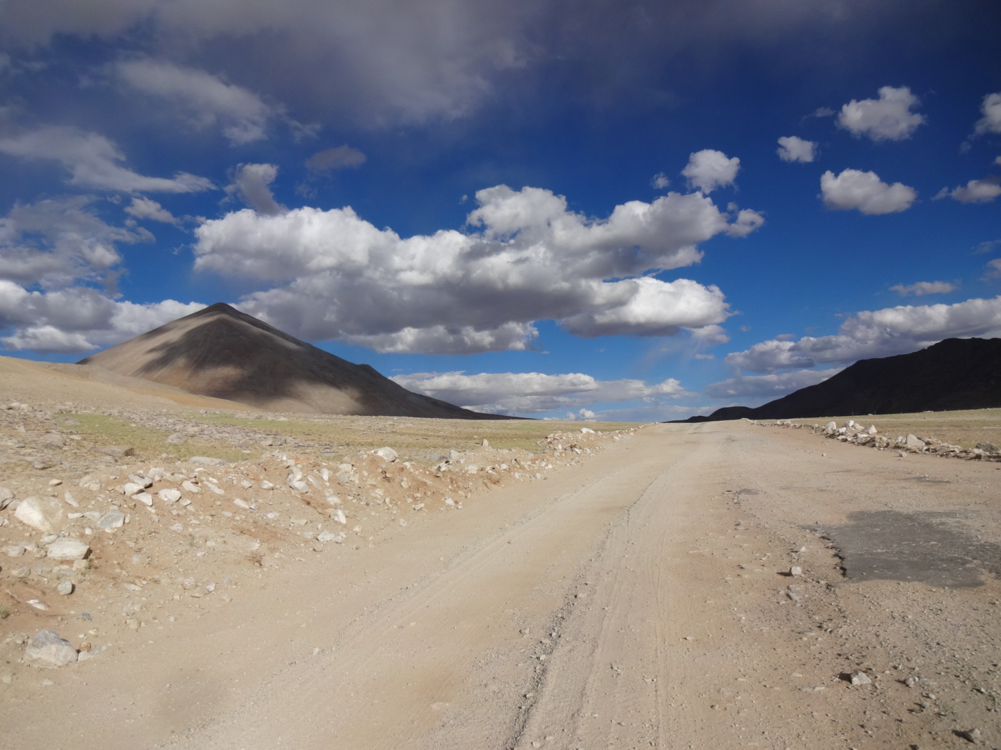
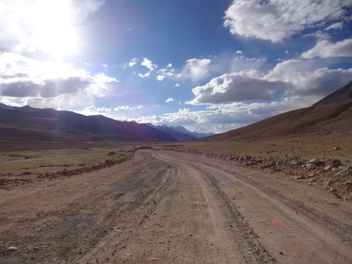
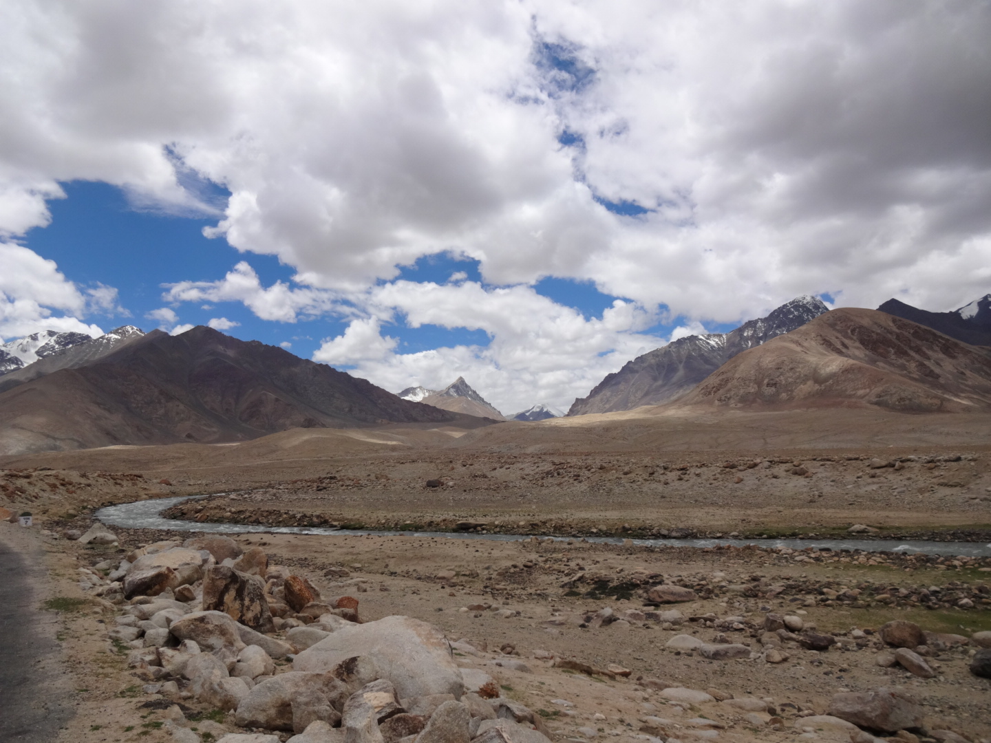
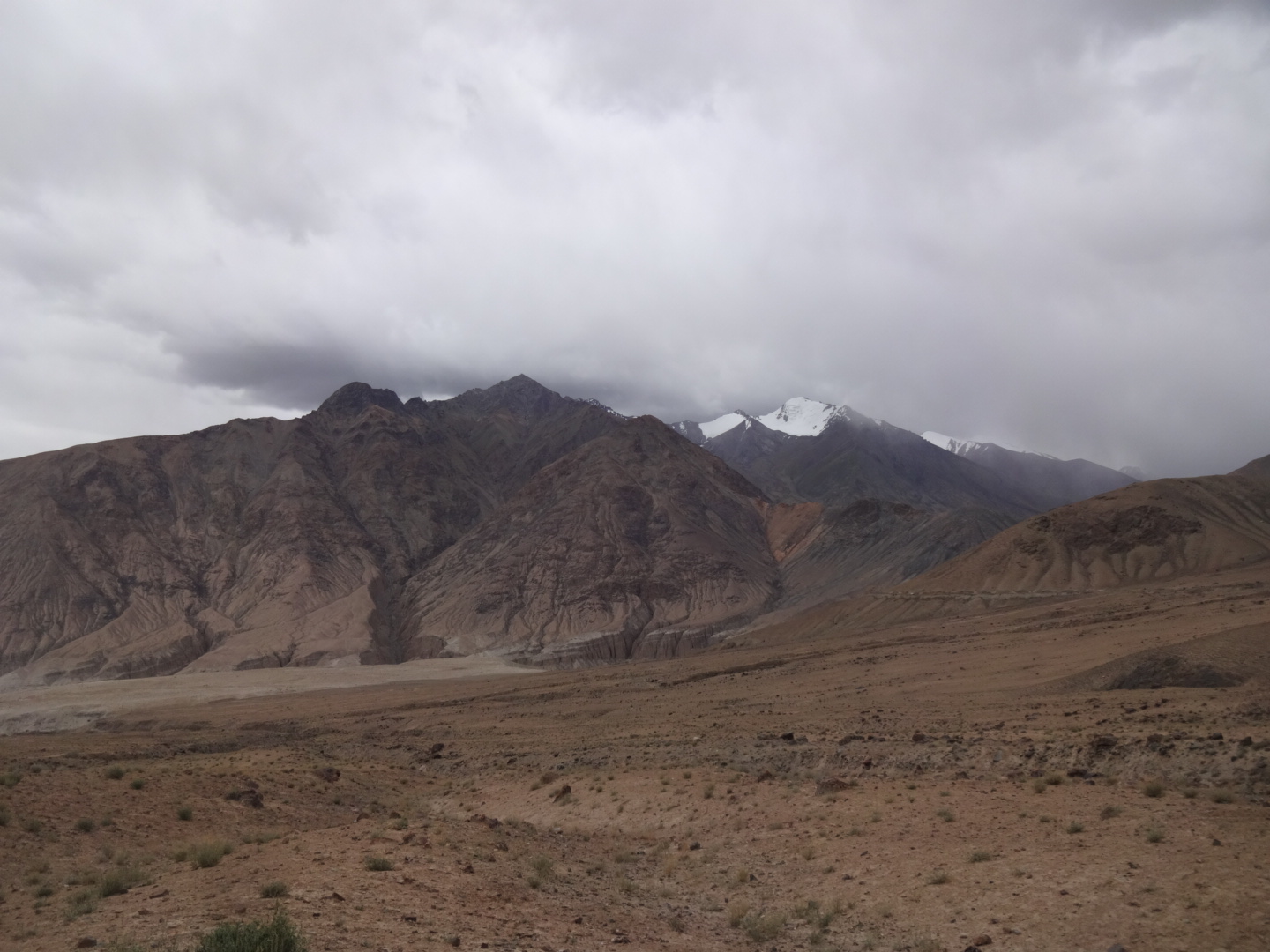
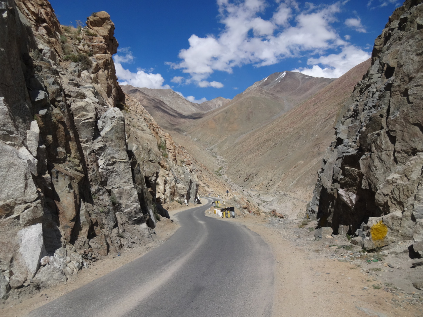
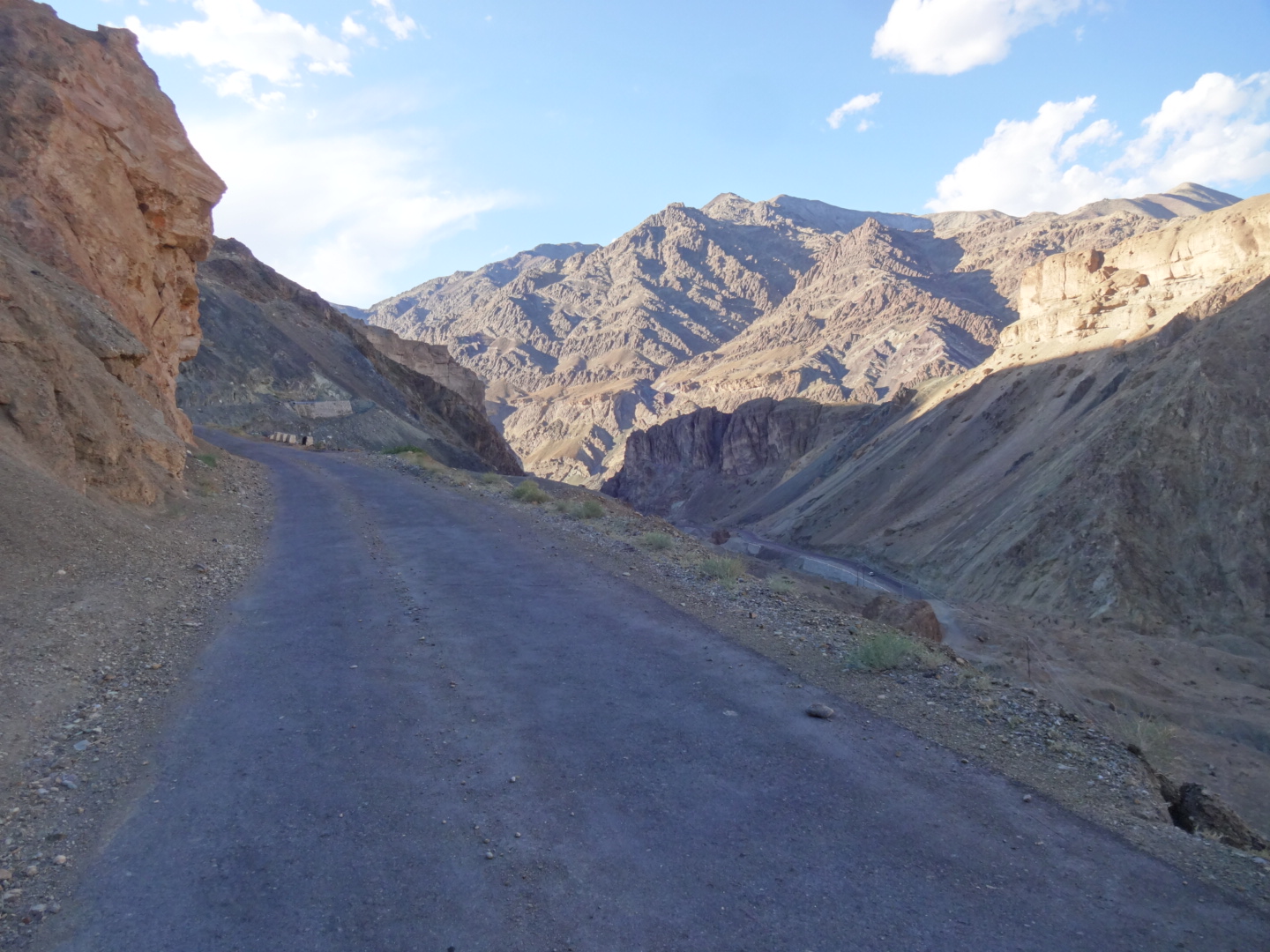
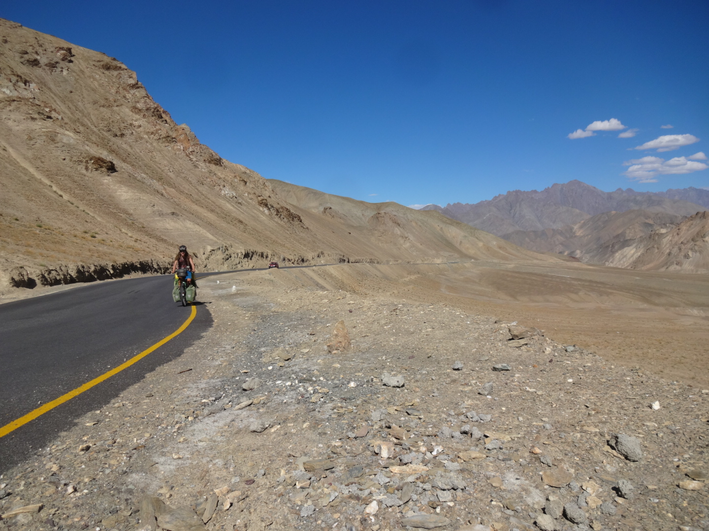
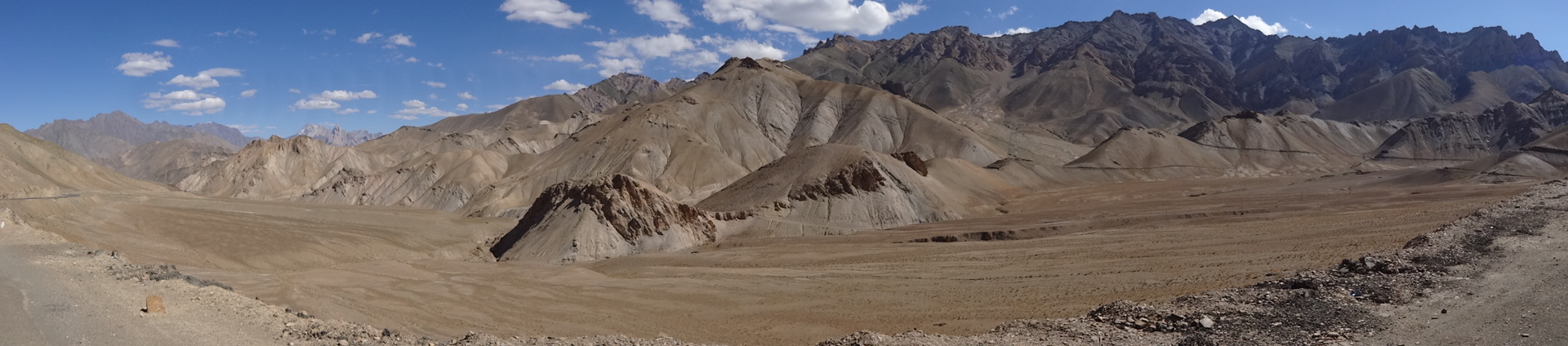
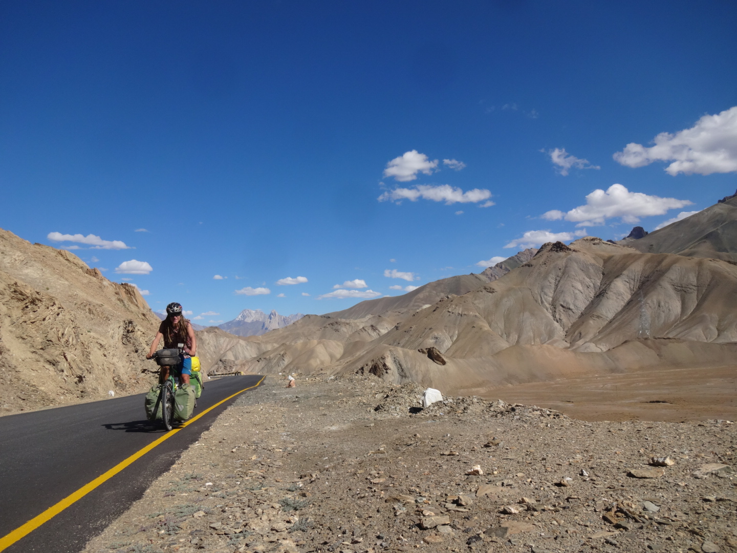
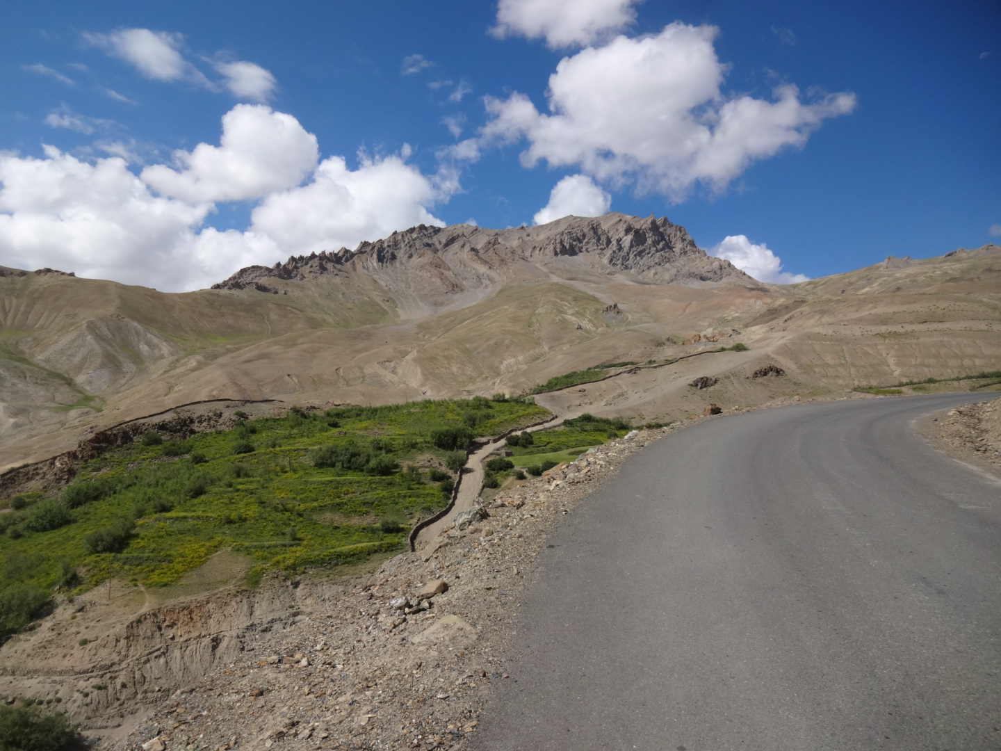
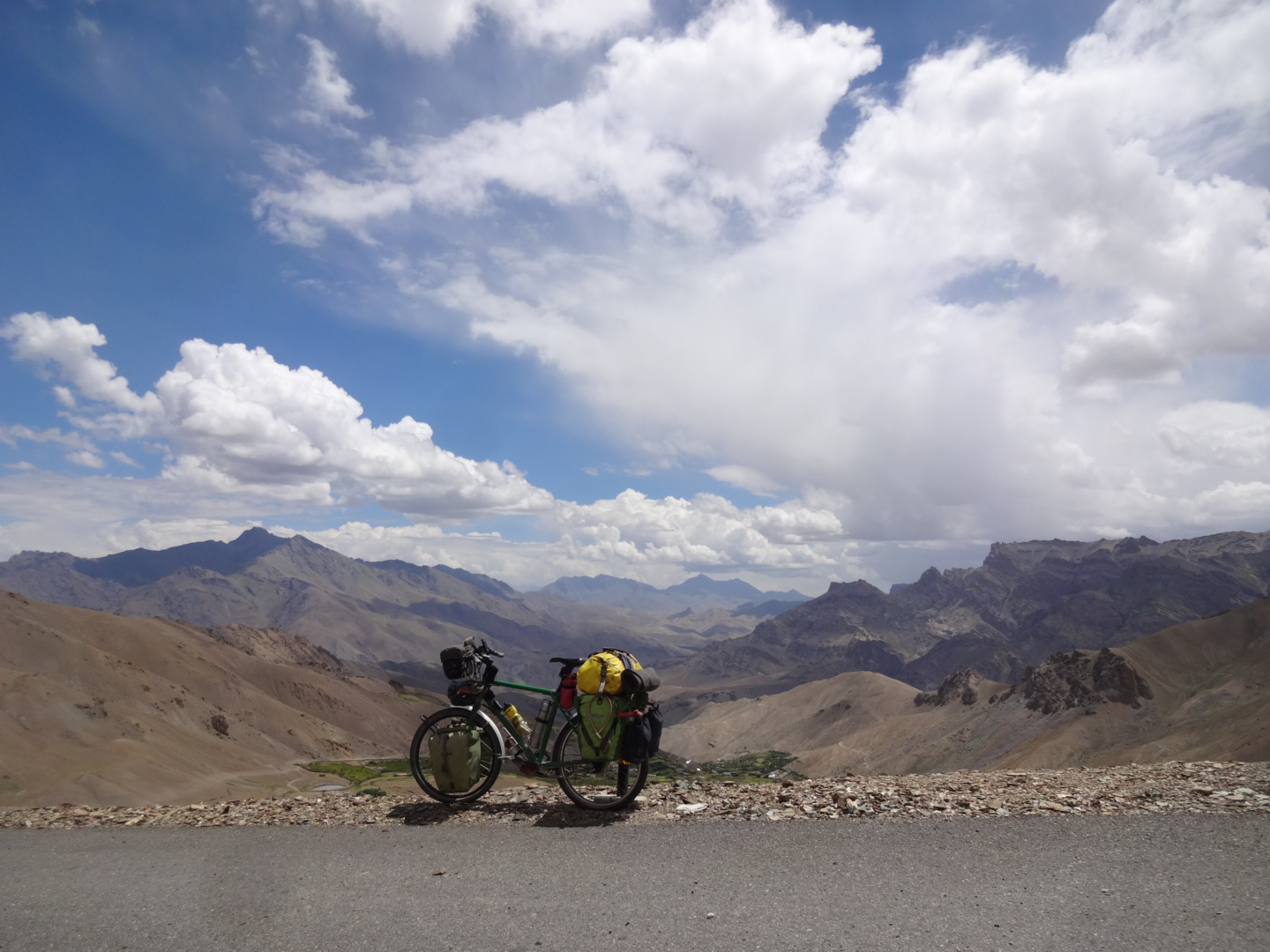
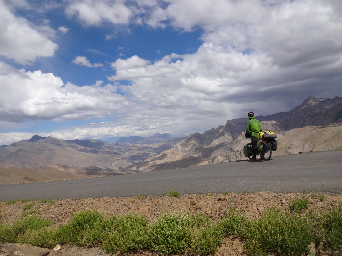
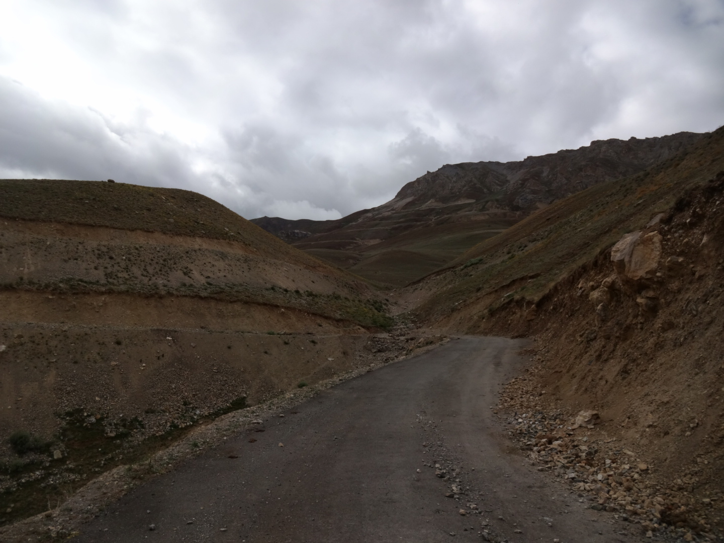
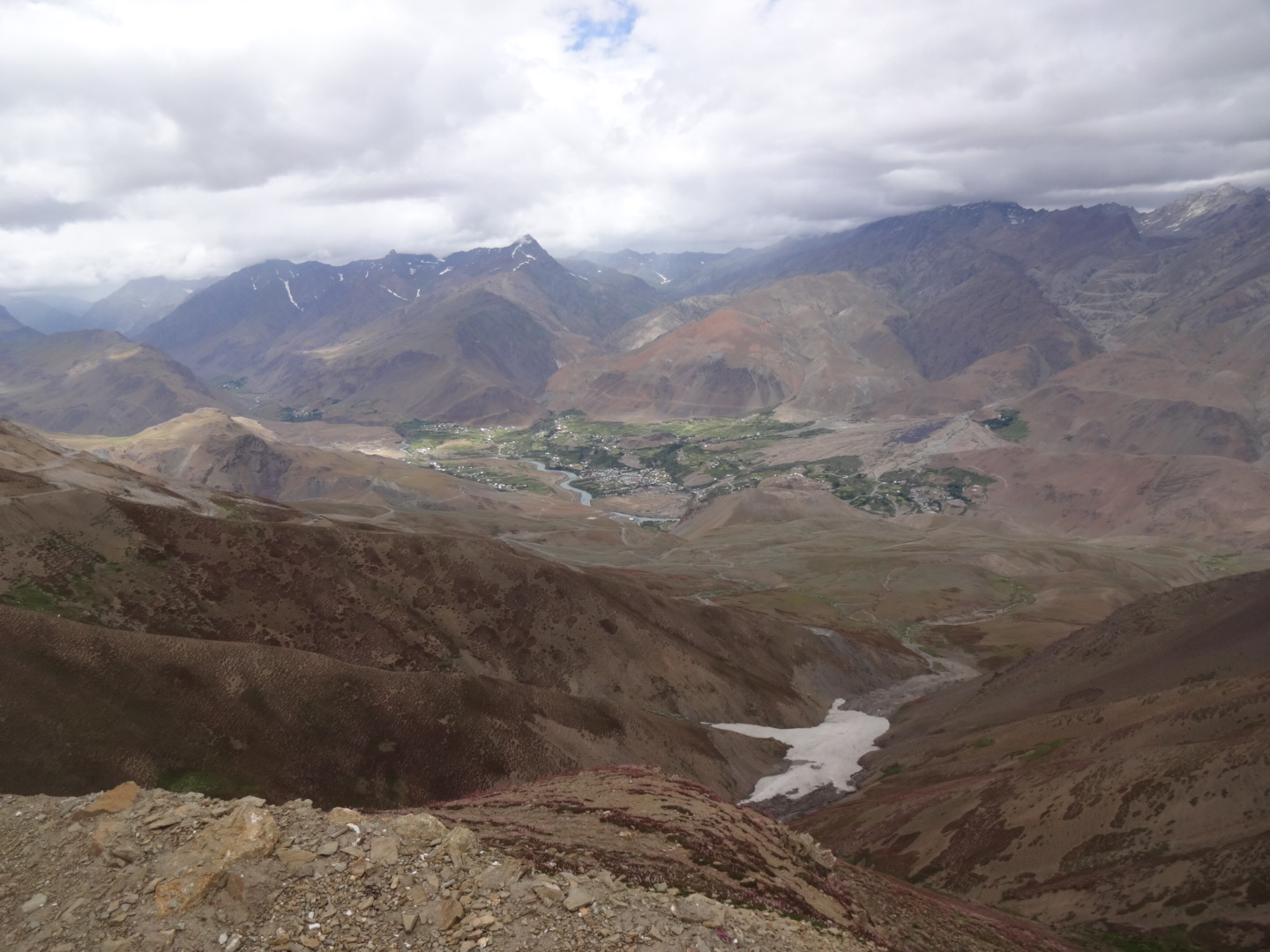
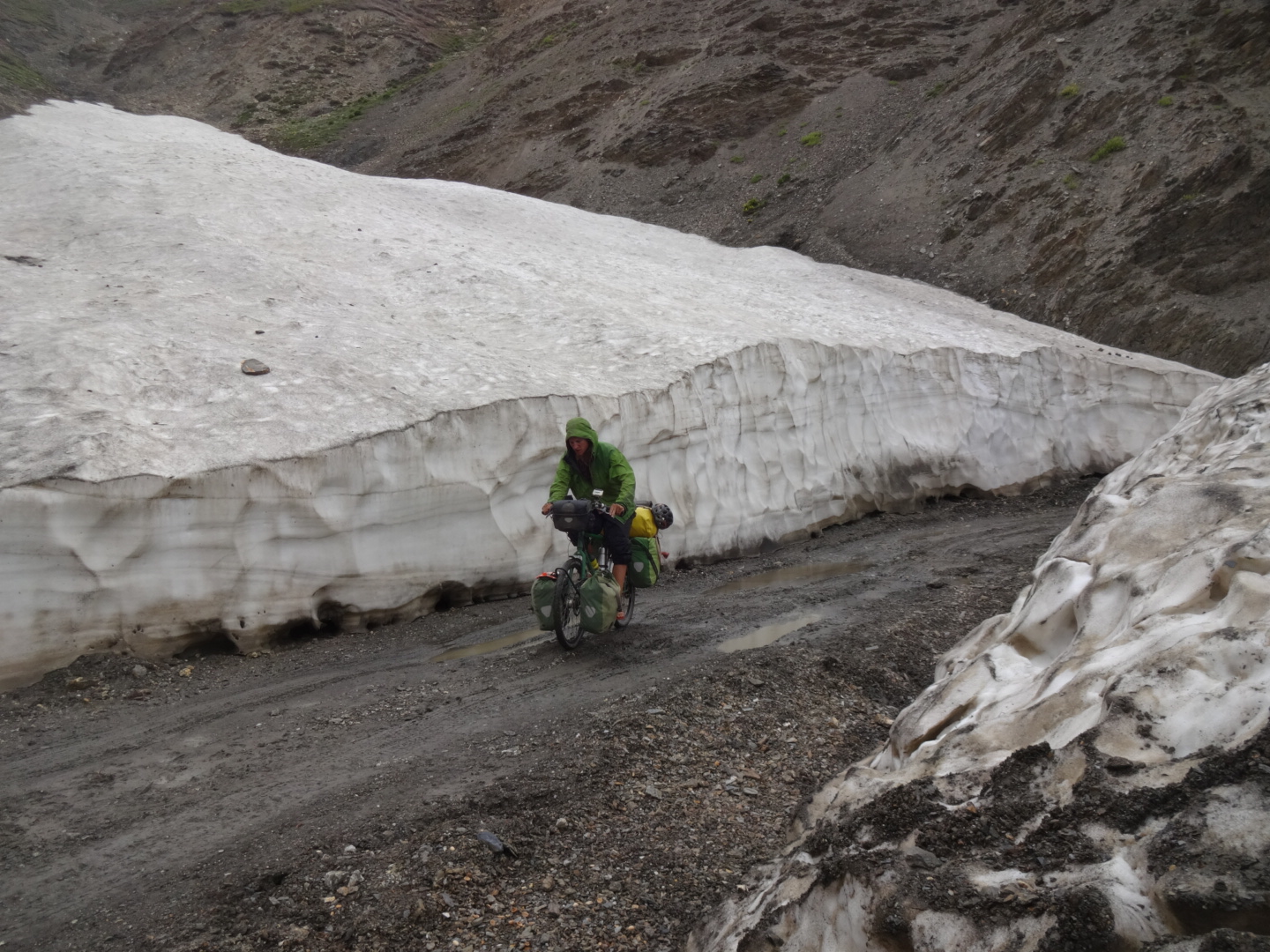
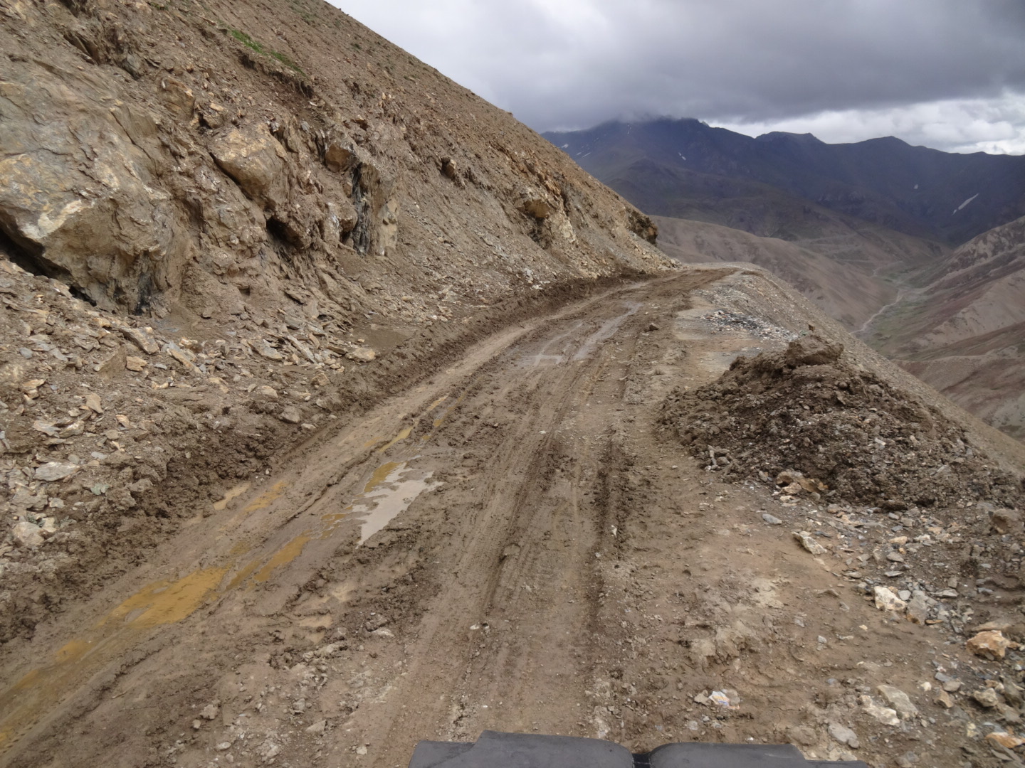
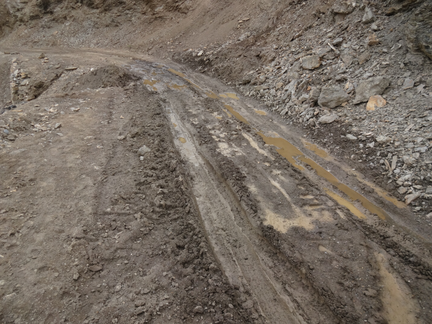
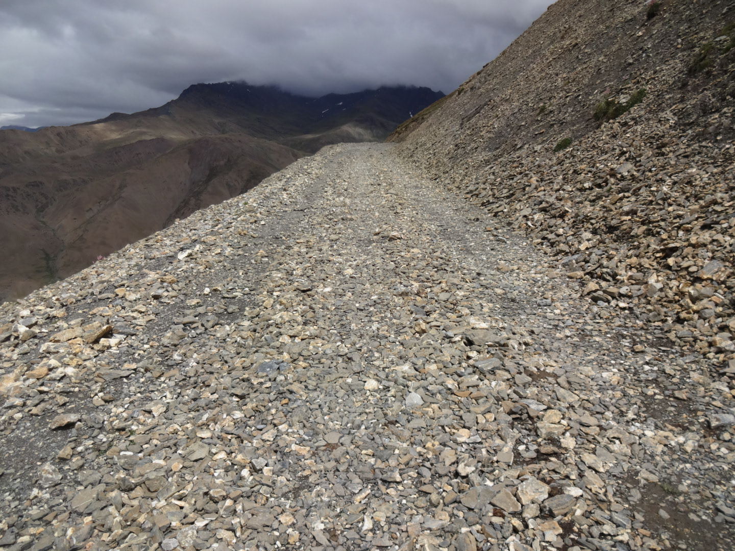
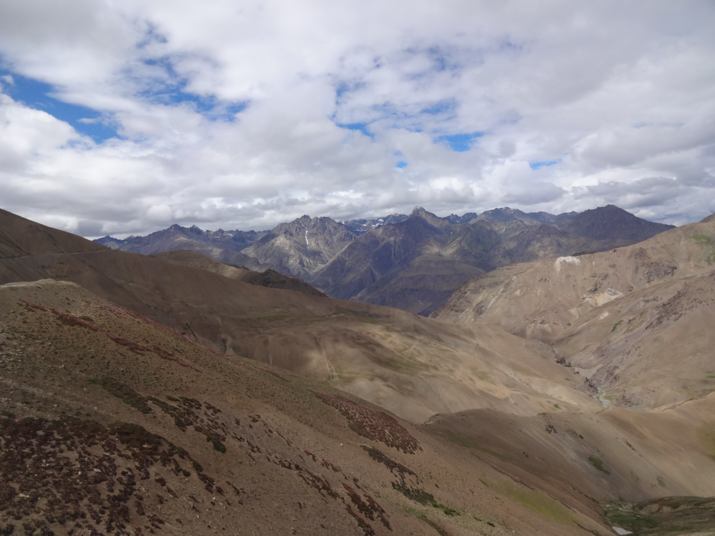
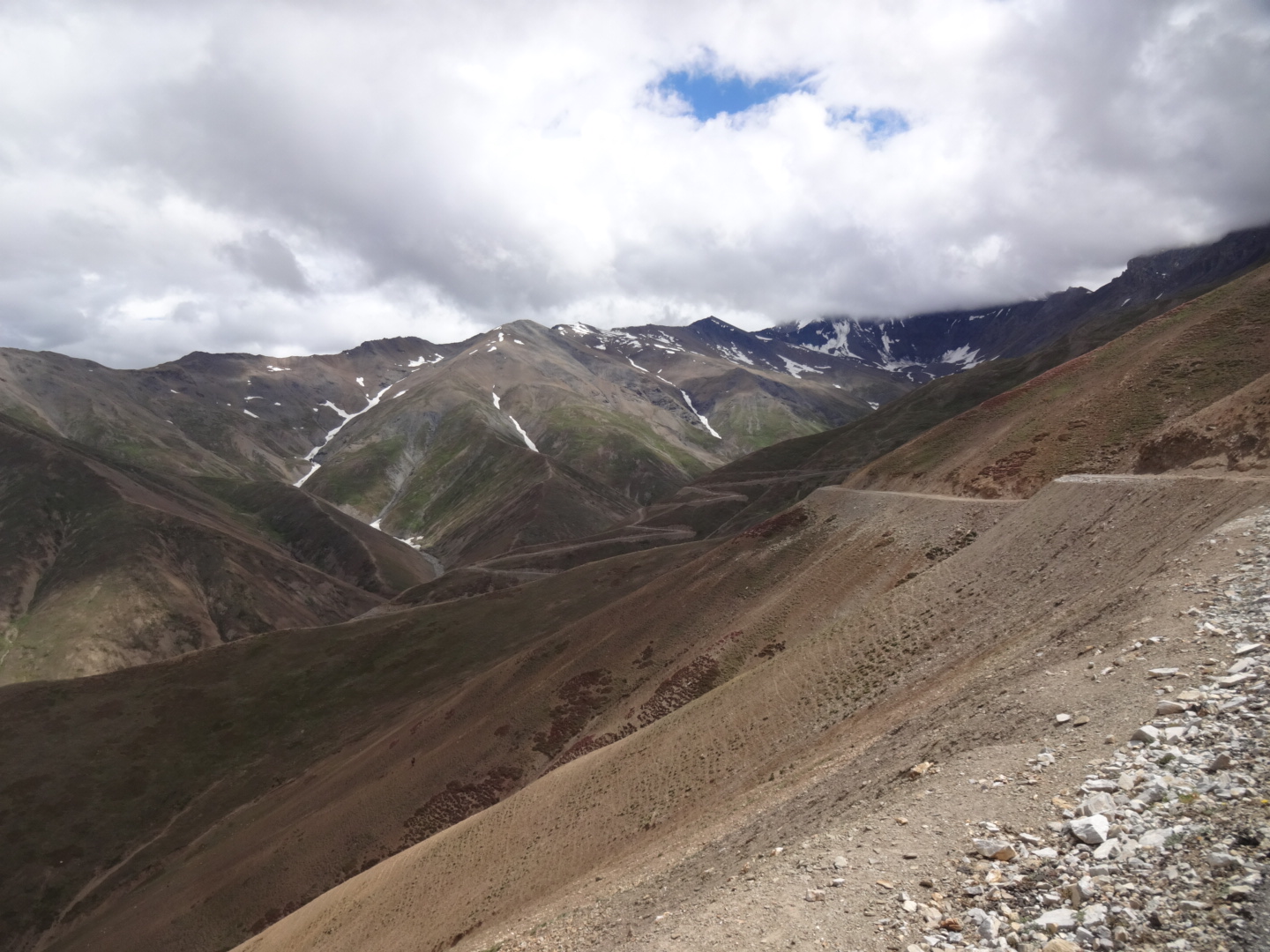
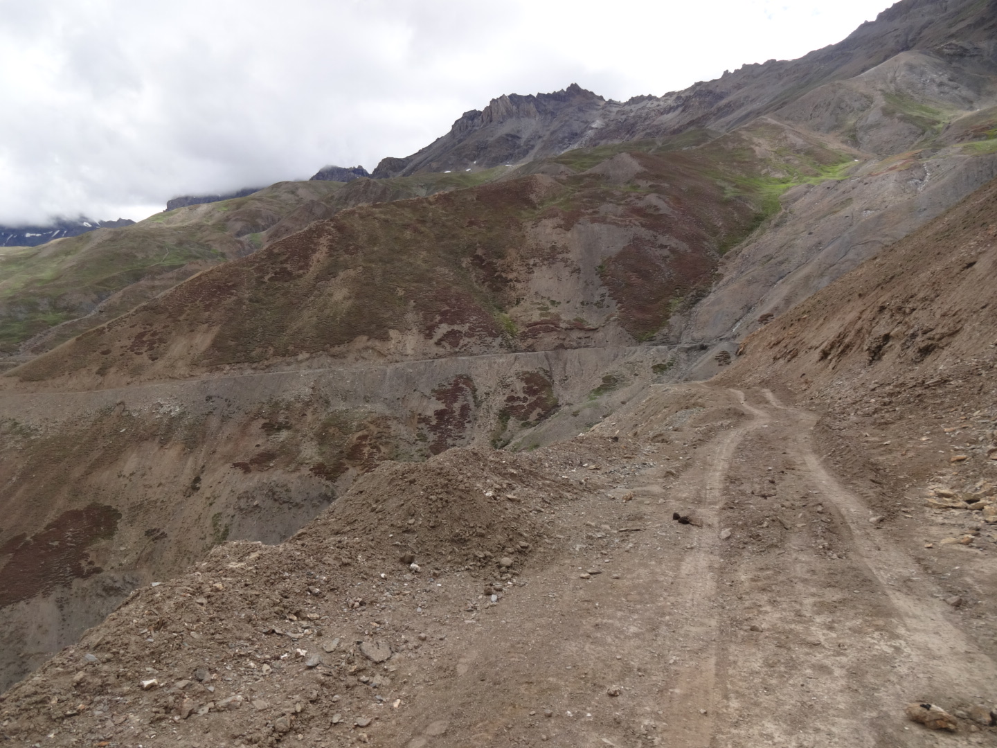
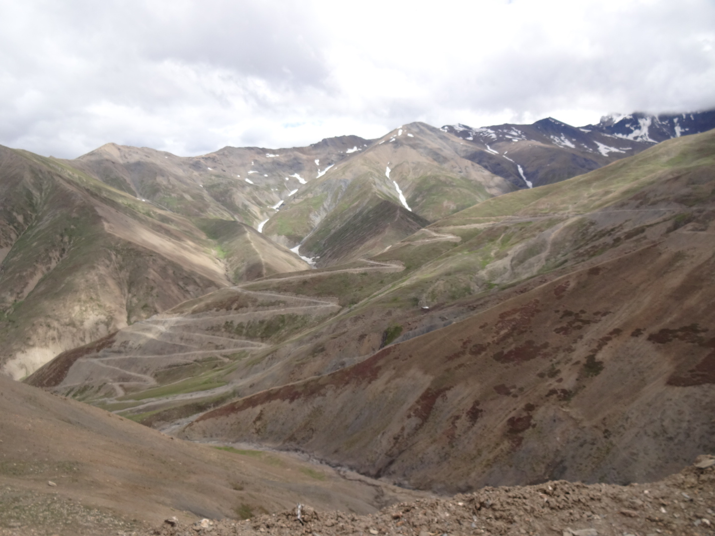
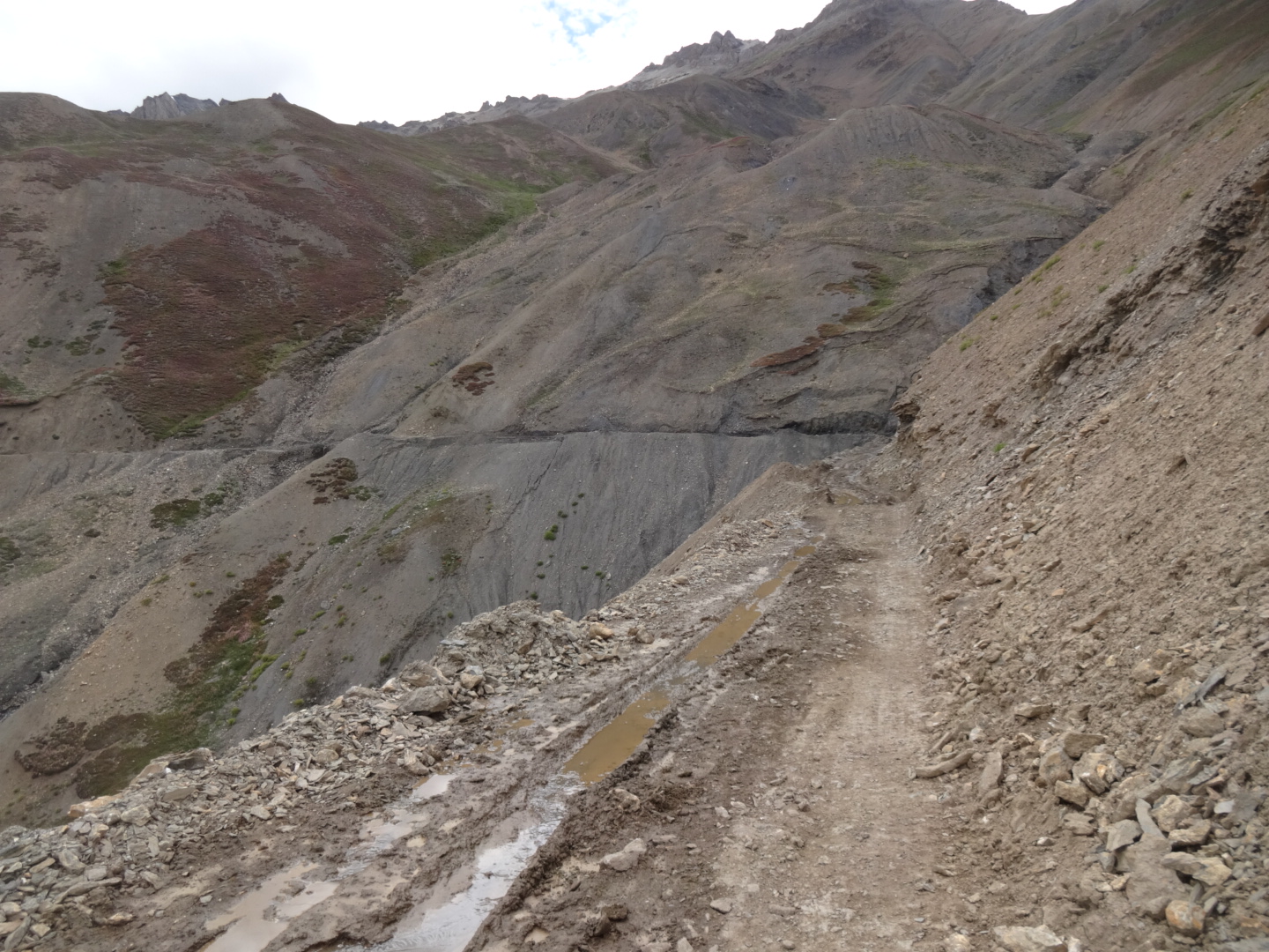
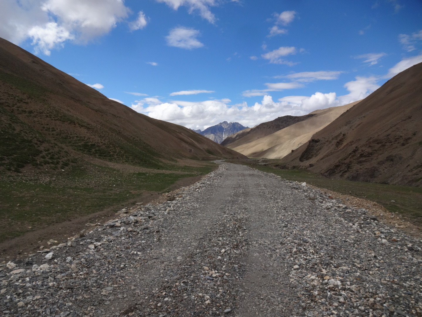
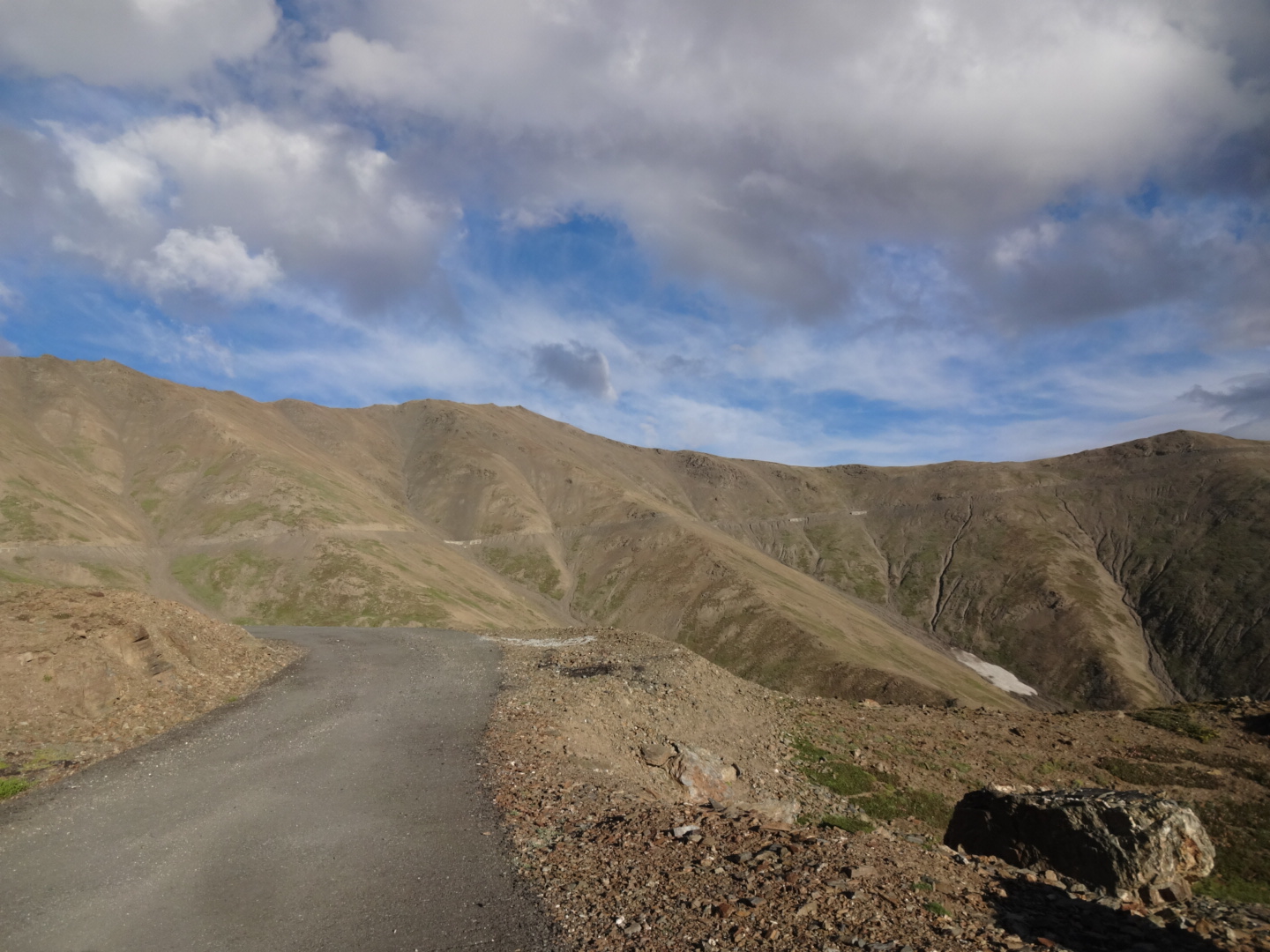
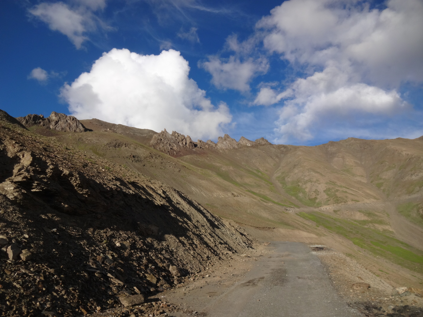
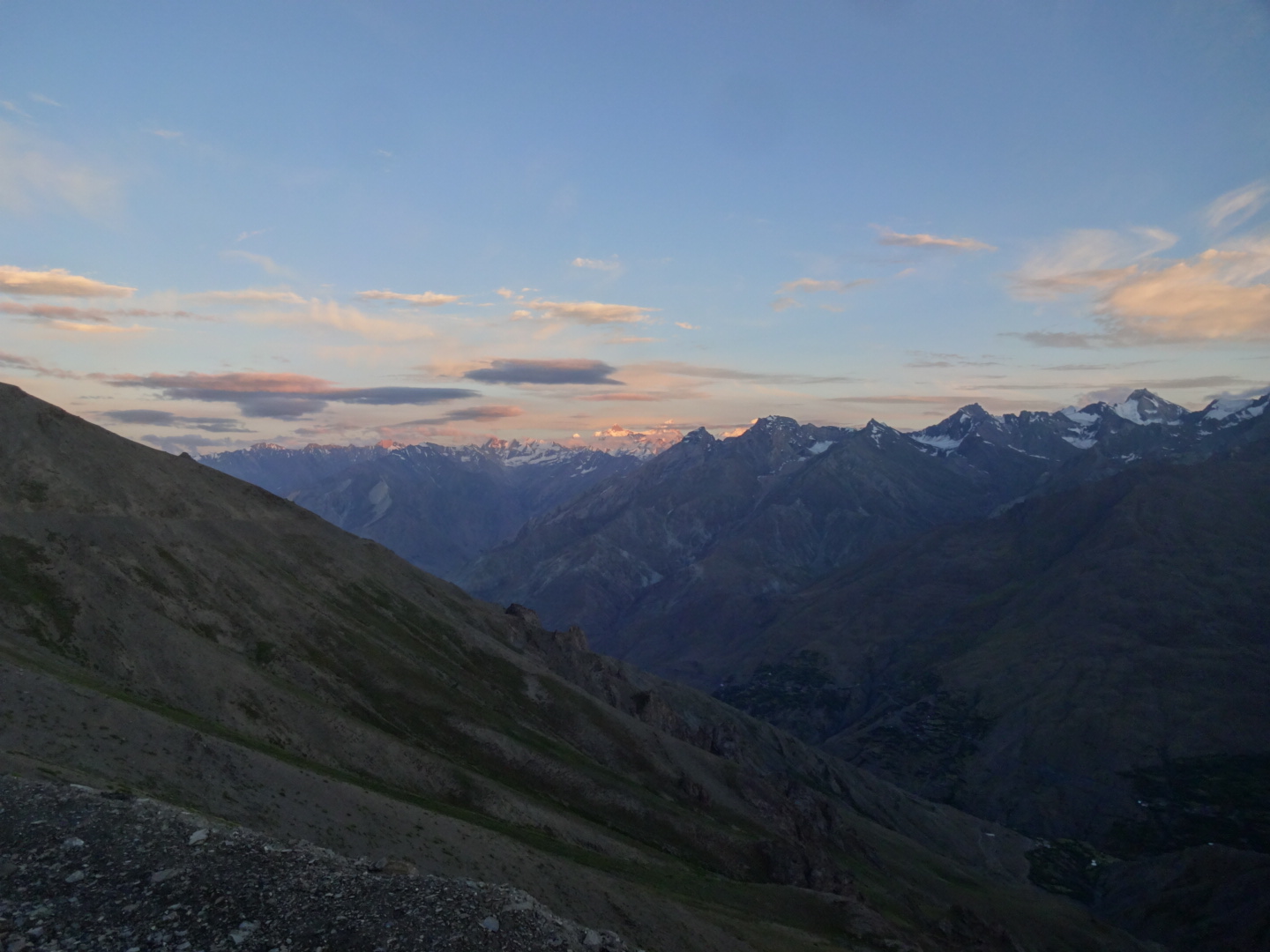
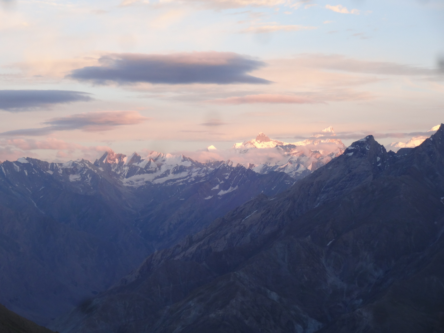
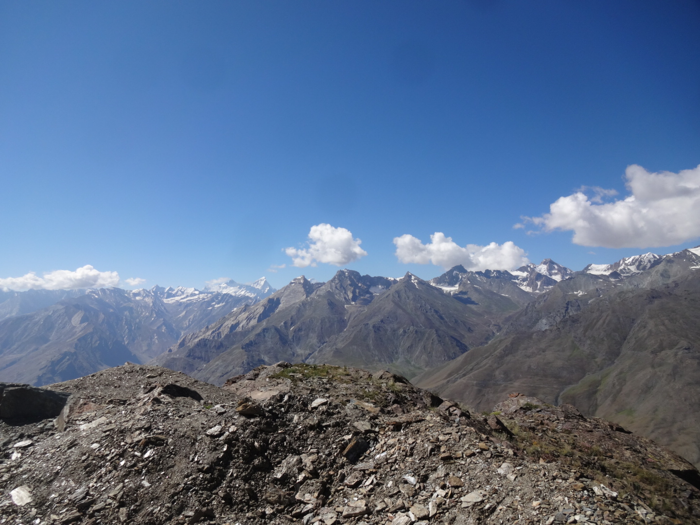
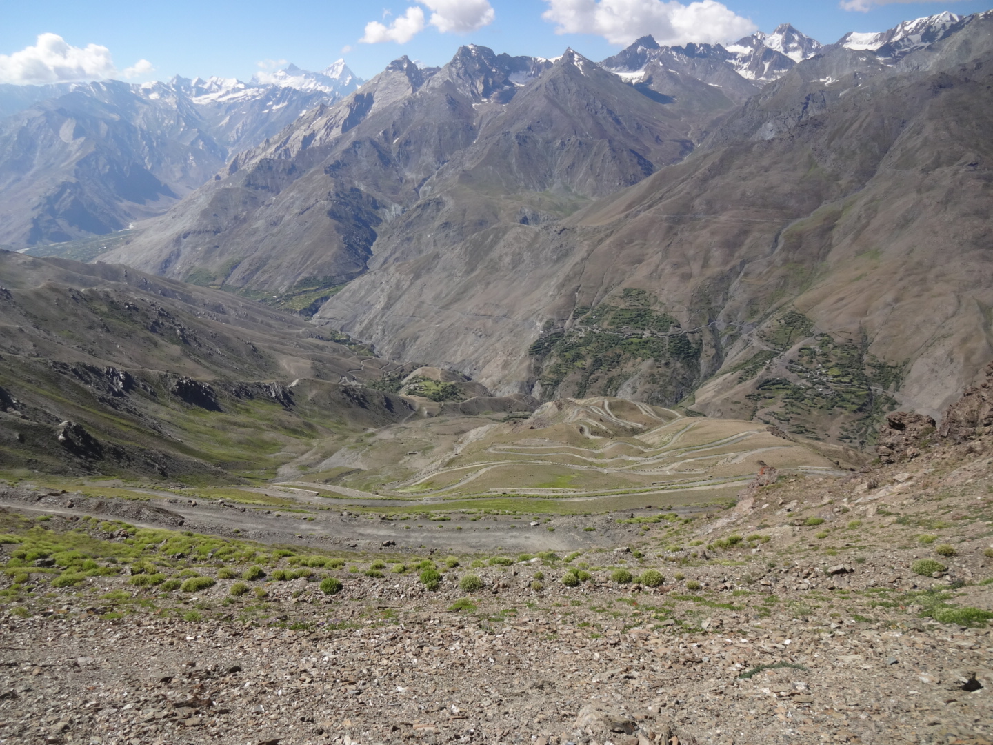
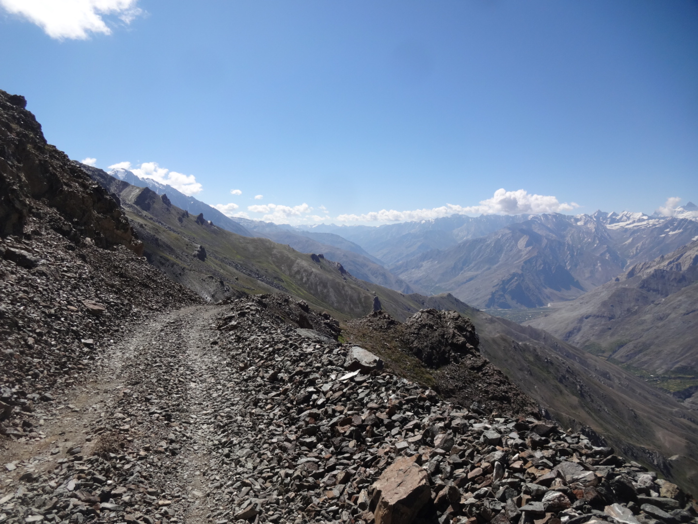
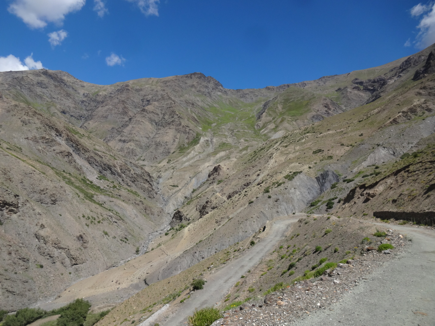
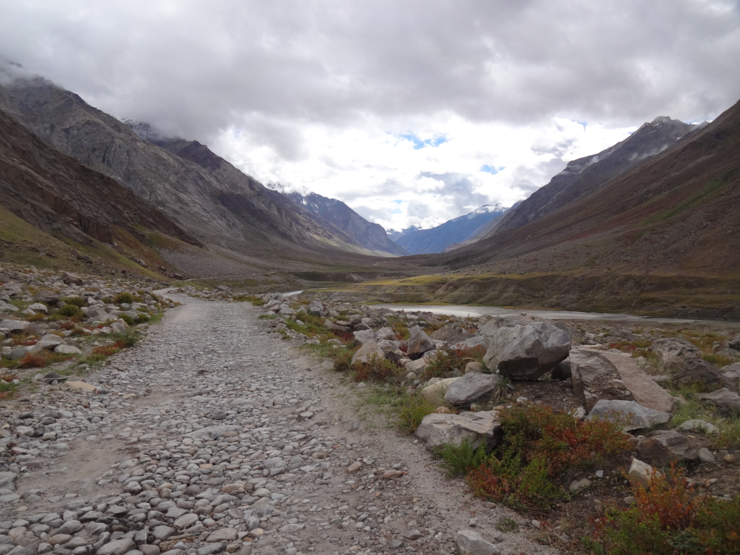
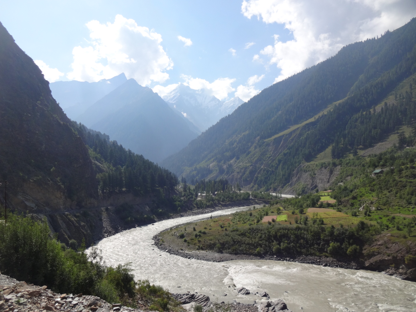
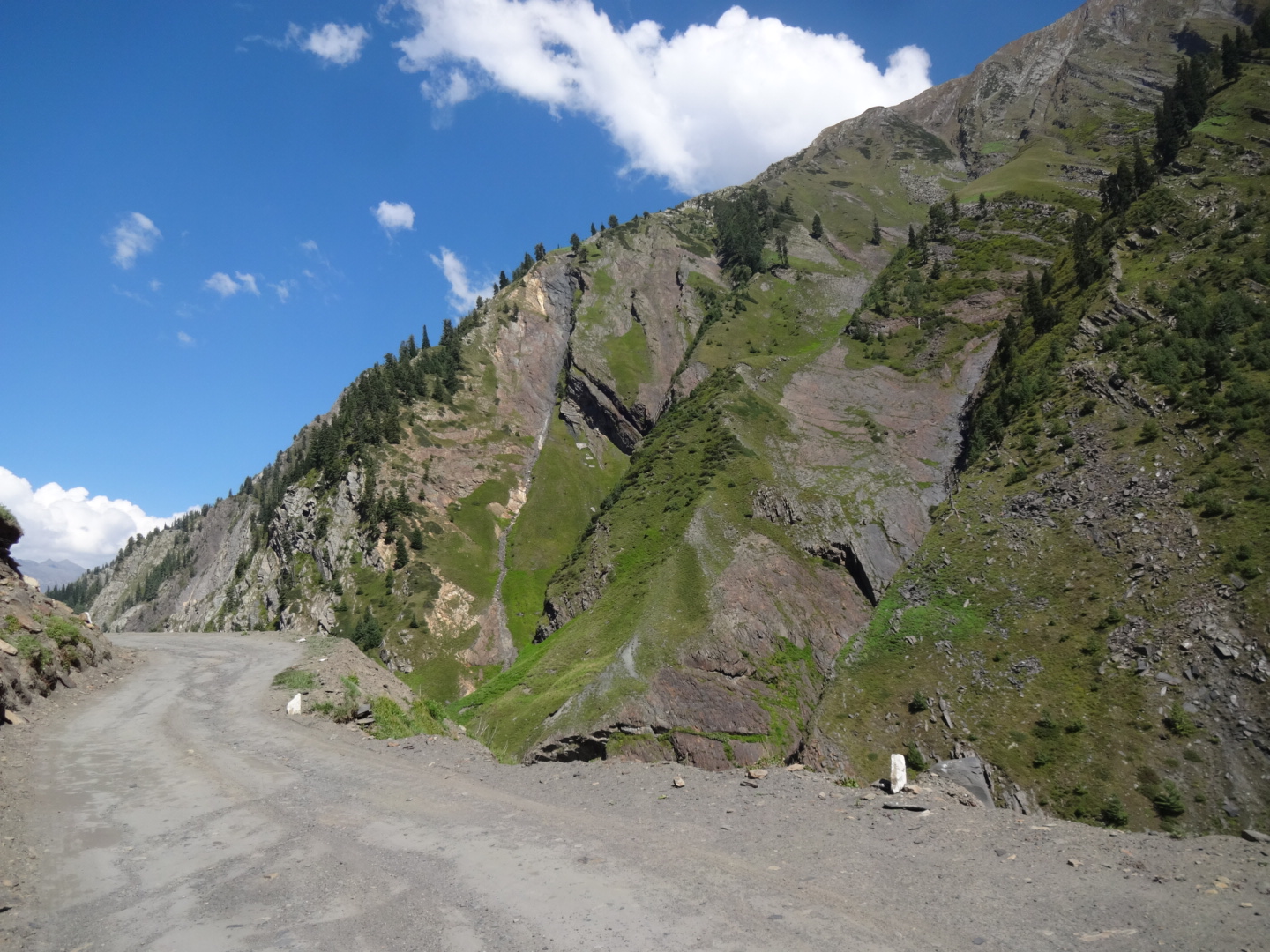
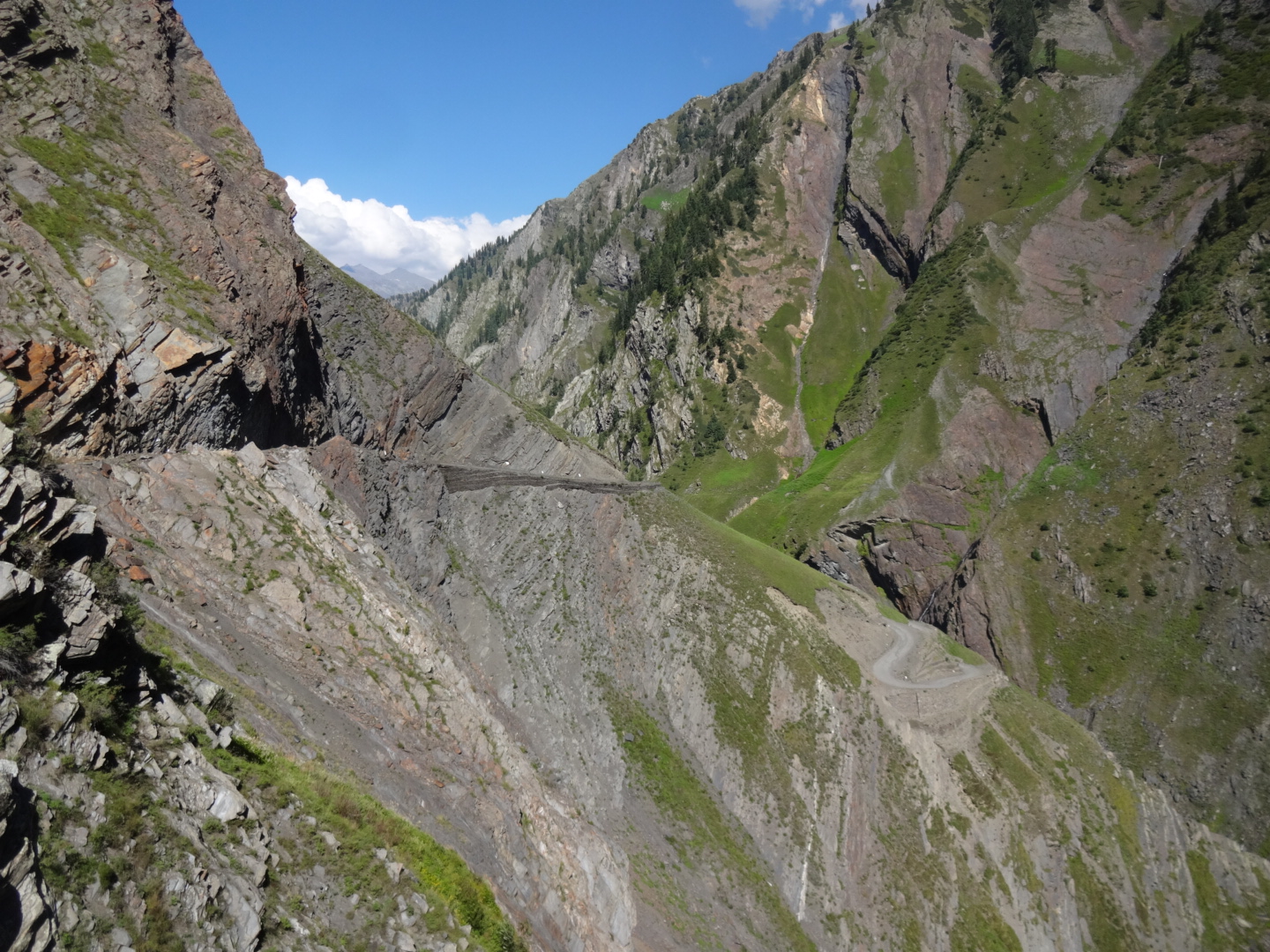
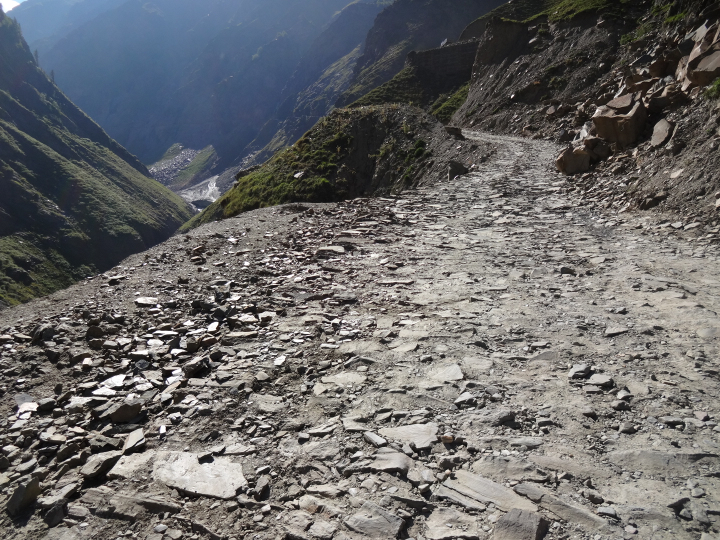
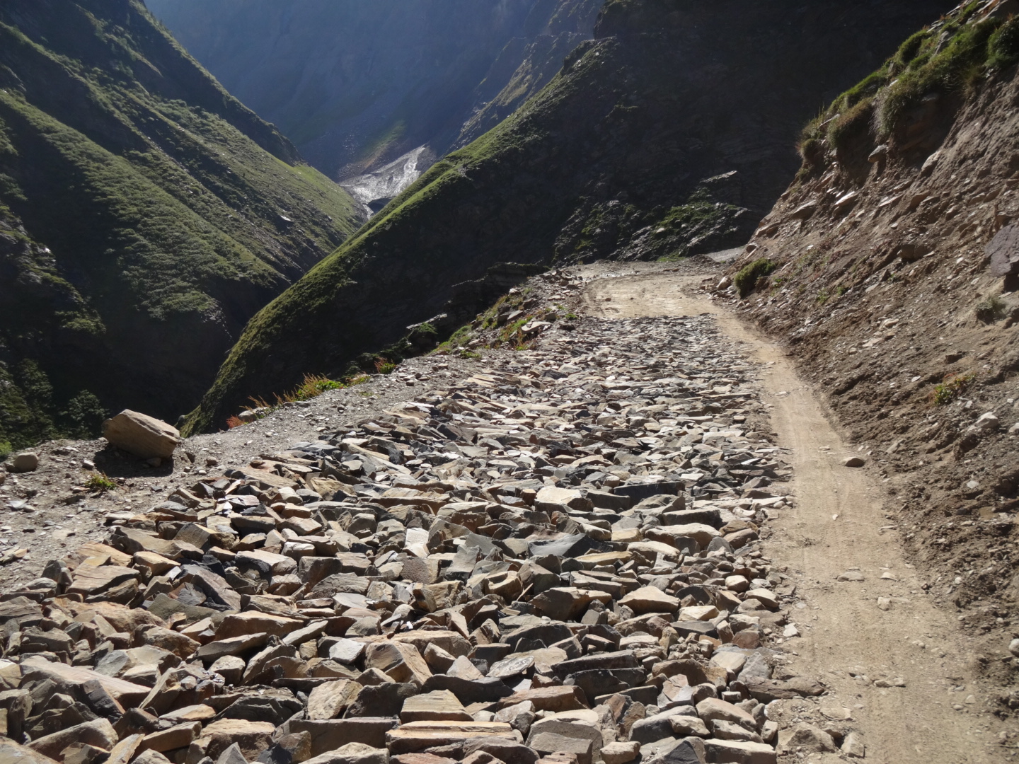
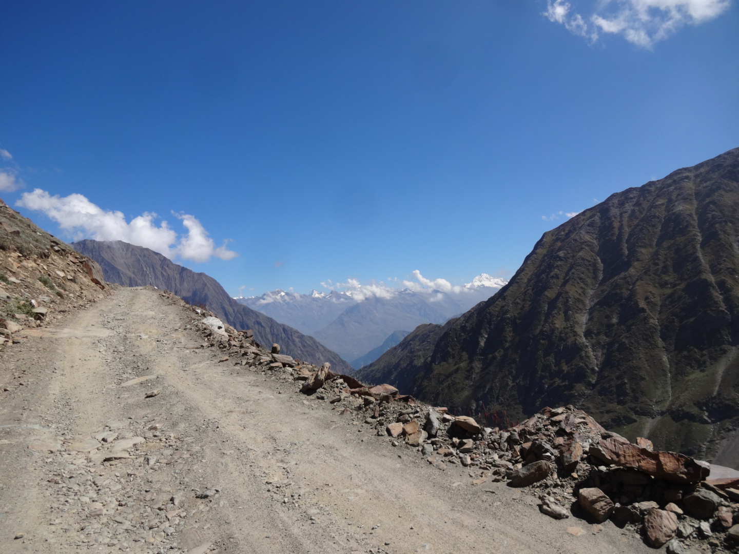
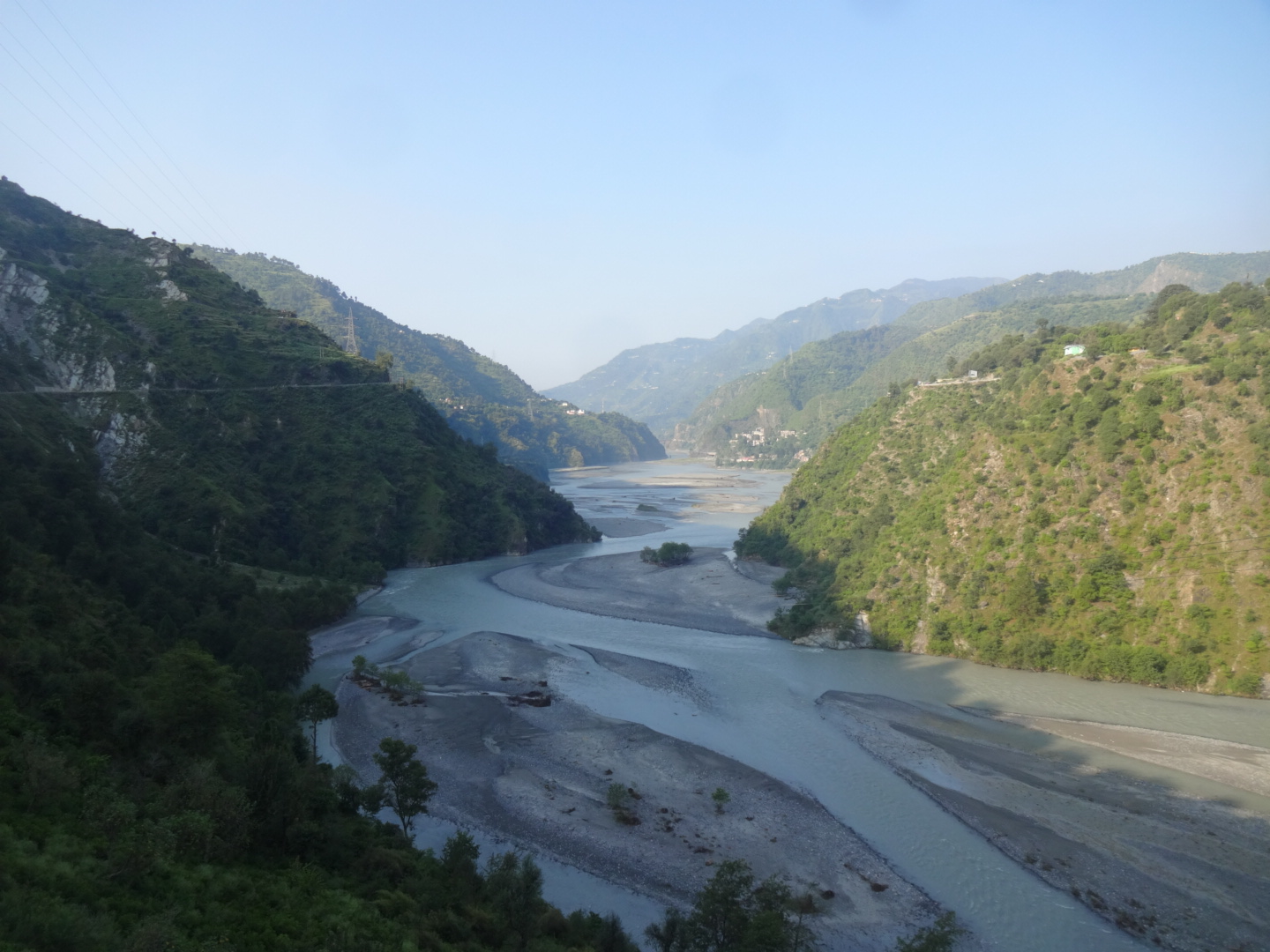
***** Manali-Leh-Highway (June/July 2016)
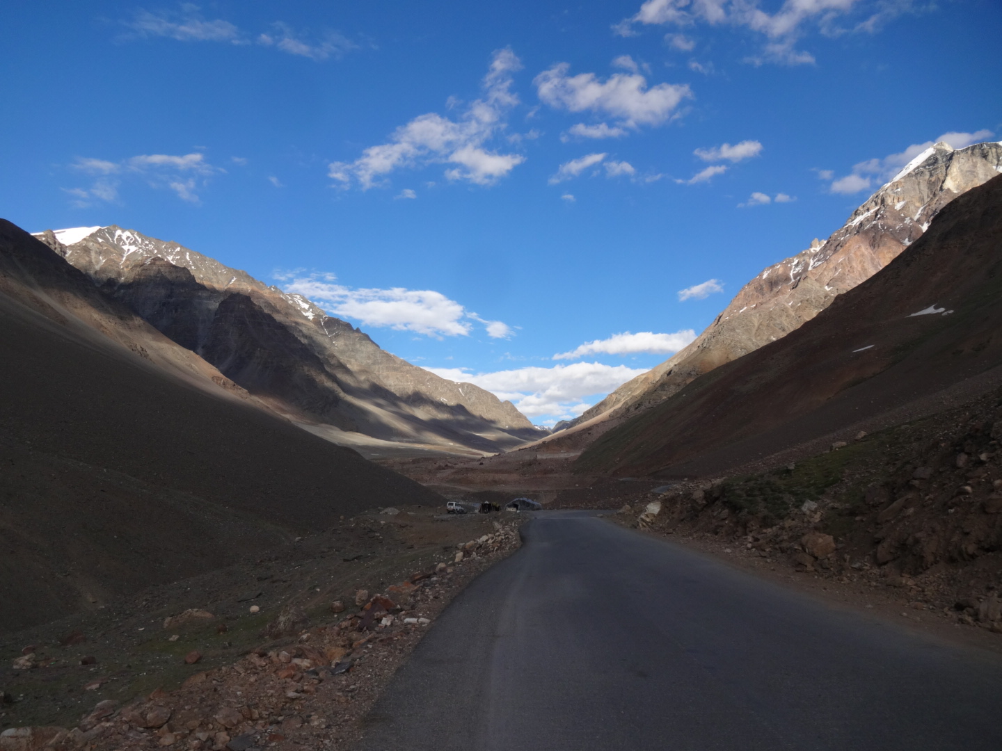
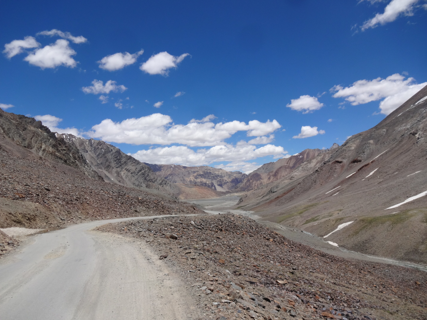
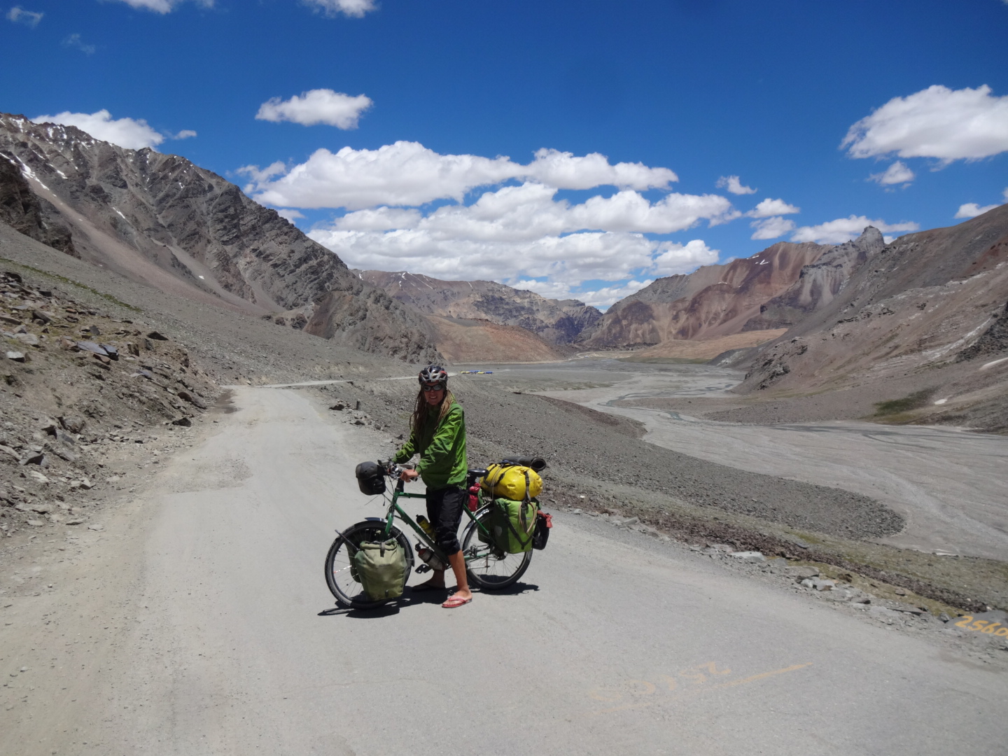
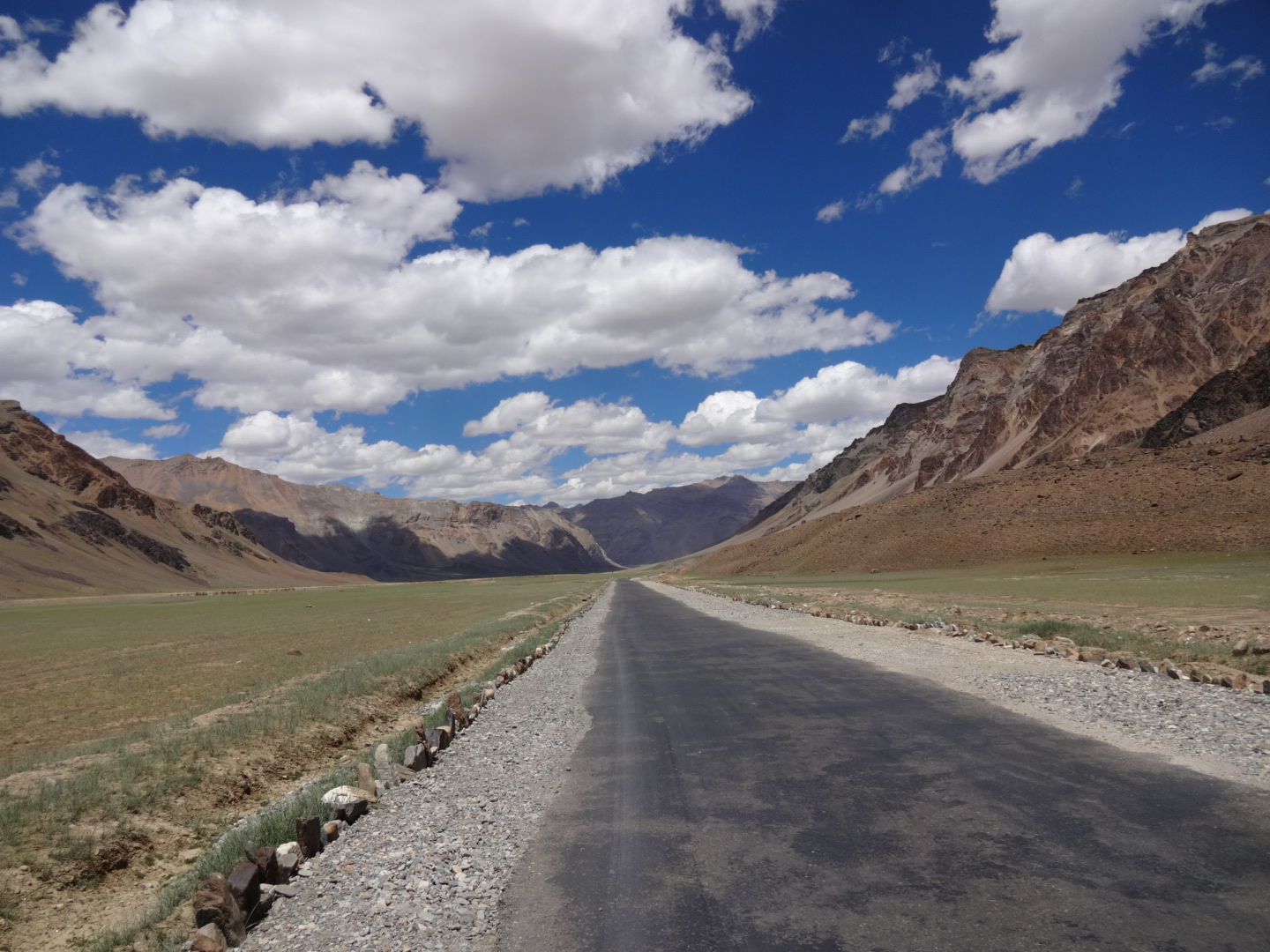
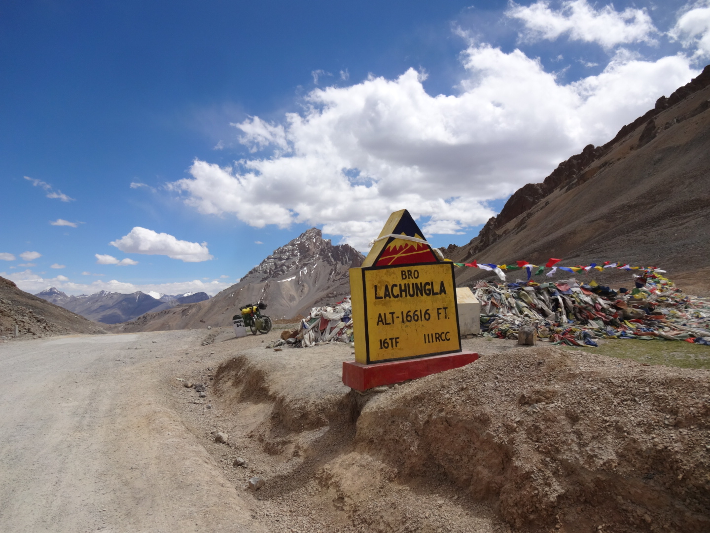
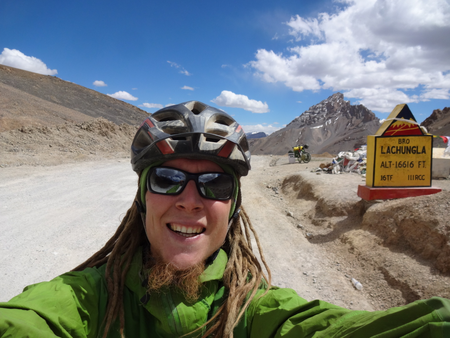
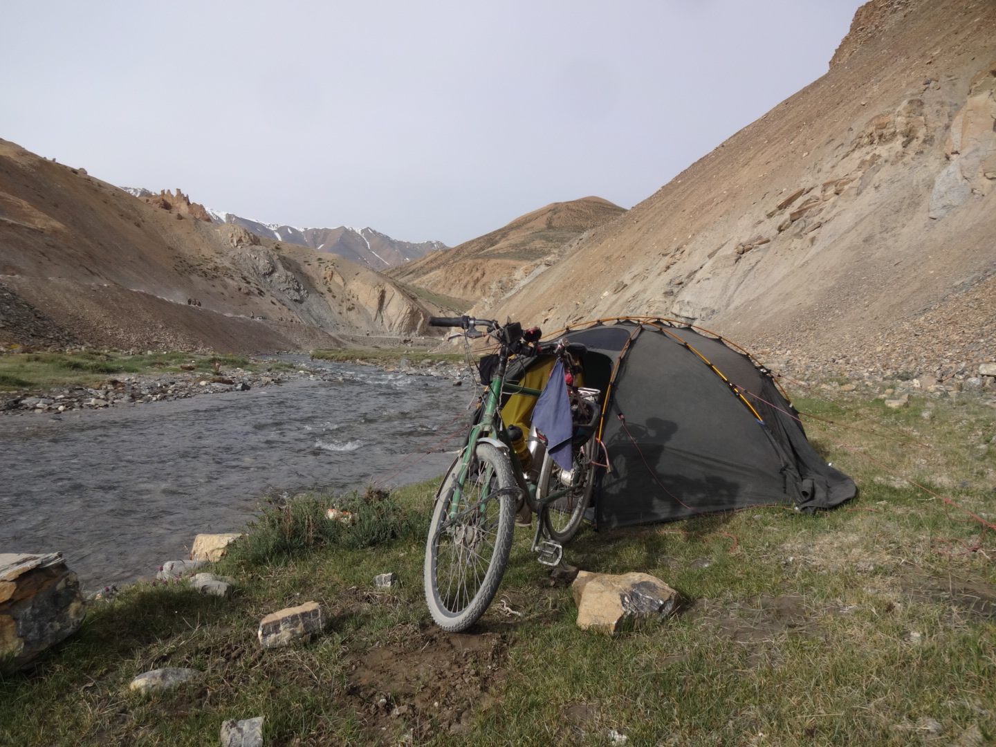
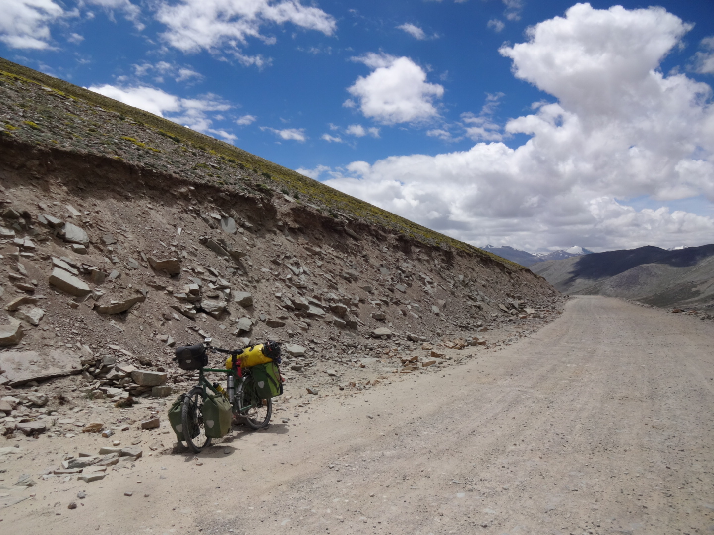
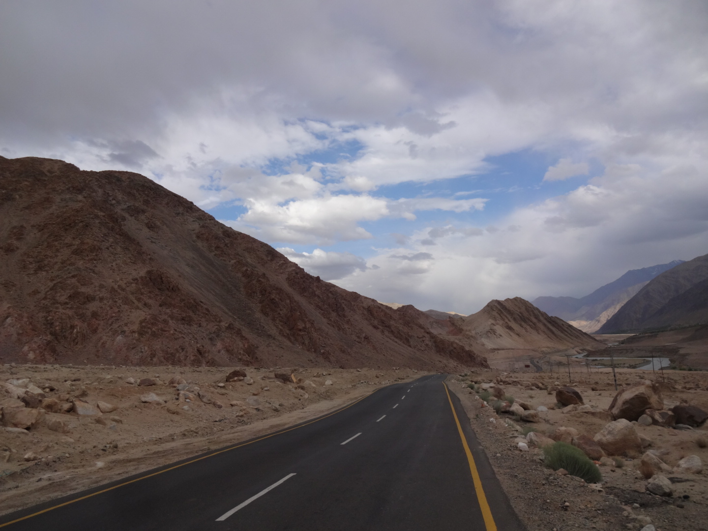
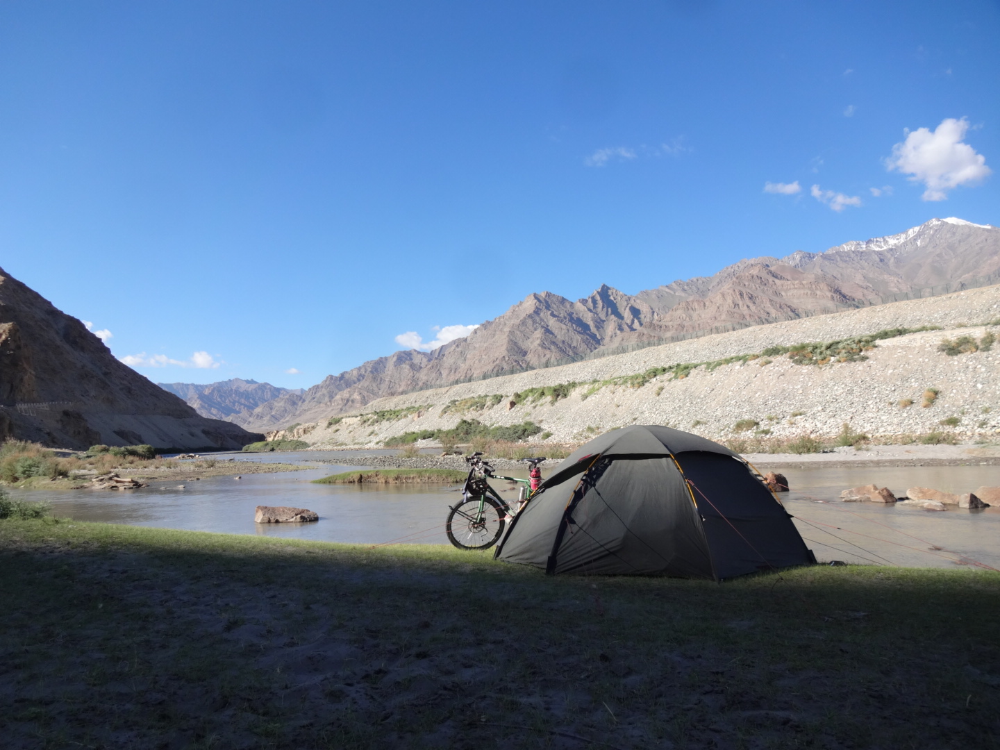
as i cycled spiti valley, i joined the manali-leh-highway at gramphoo and so i didn’t cycle rohtang la. no permit needed for the highway, but there are some checkpoints where you have to show your passport.
there is nothing available at “zing zang bar”, but 7km later, there is “upper zing zang bar” where you can find food.
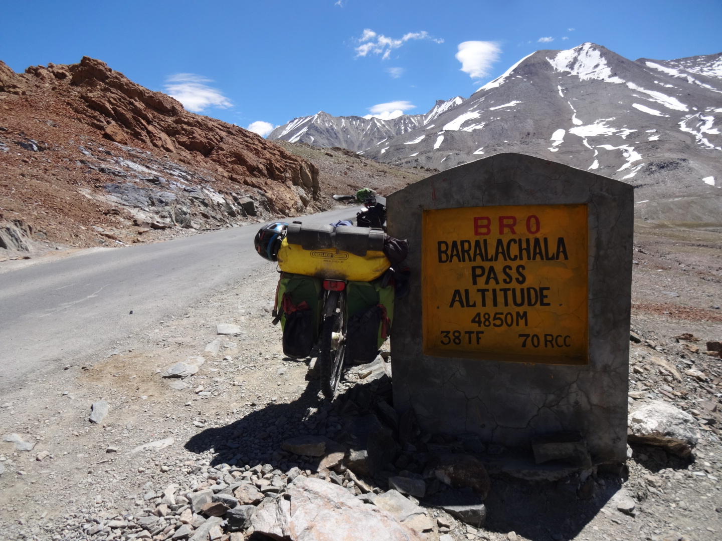
the road to baralacha la (4850m) was paved. 10km after the pass you can find some food-tents. there are a lot of restaurants in sarchu.
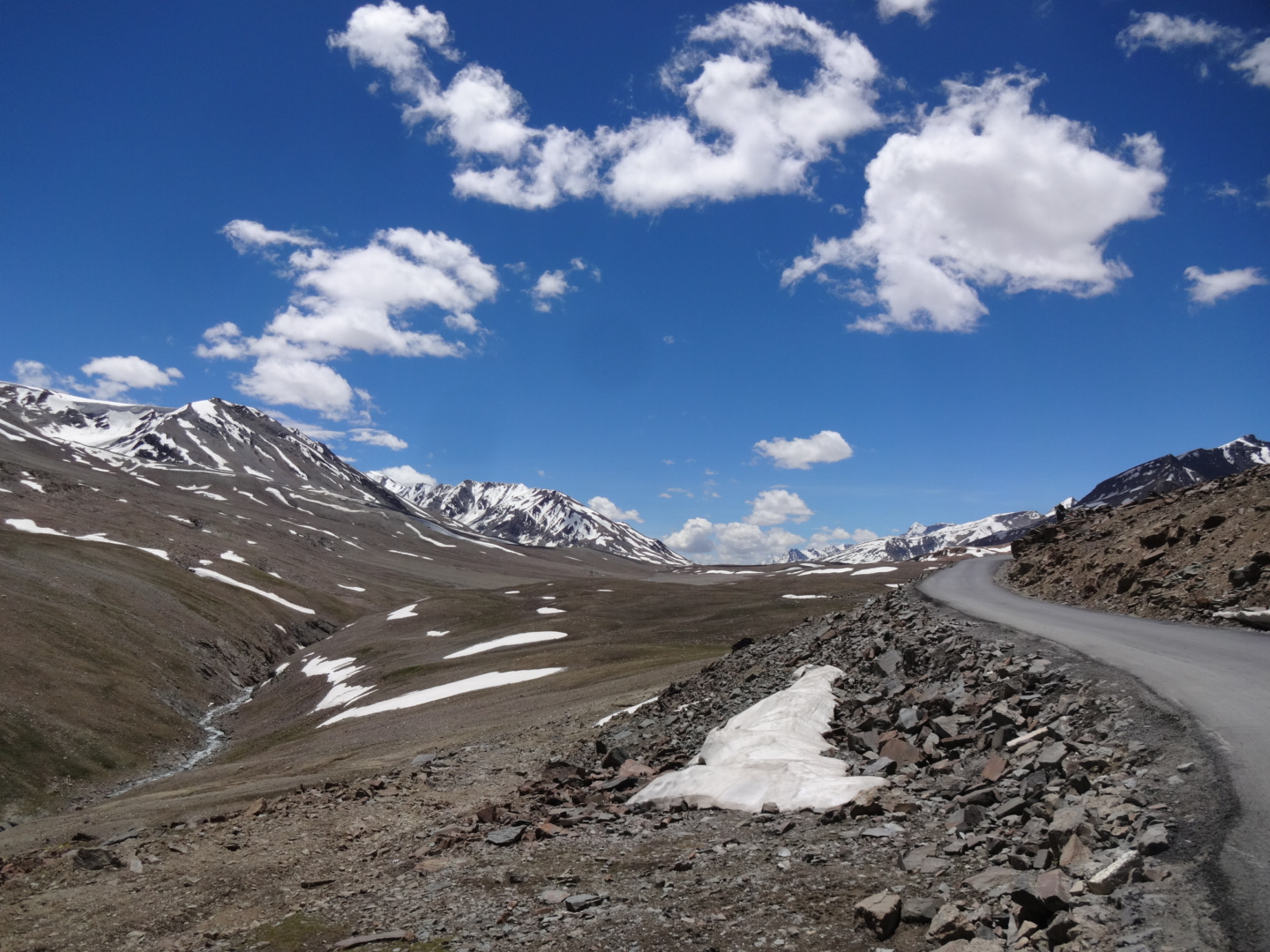
there was NO WATER on the gata loops all the way over nakee la (4739m).
between nakee la and lachulung la (5059m), there are some tents.
on the climb to lachulung la, there was NO WATER. after the pass, there was water all the way down to pang, where you can find again a lot of restaurants.
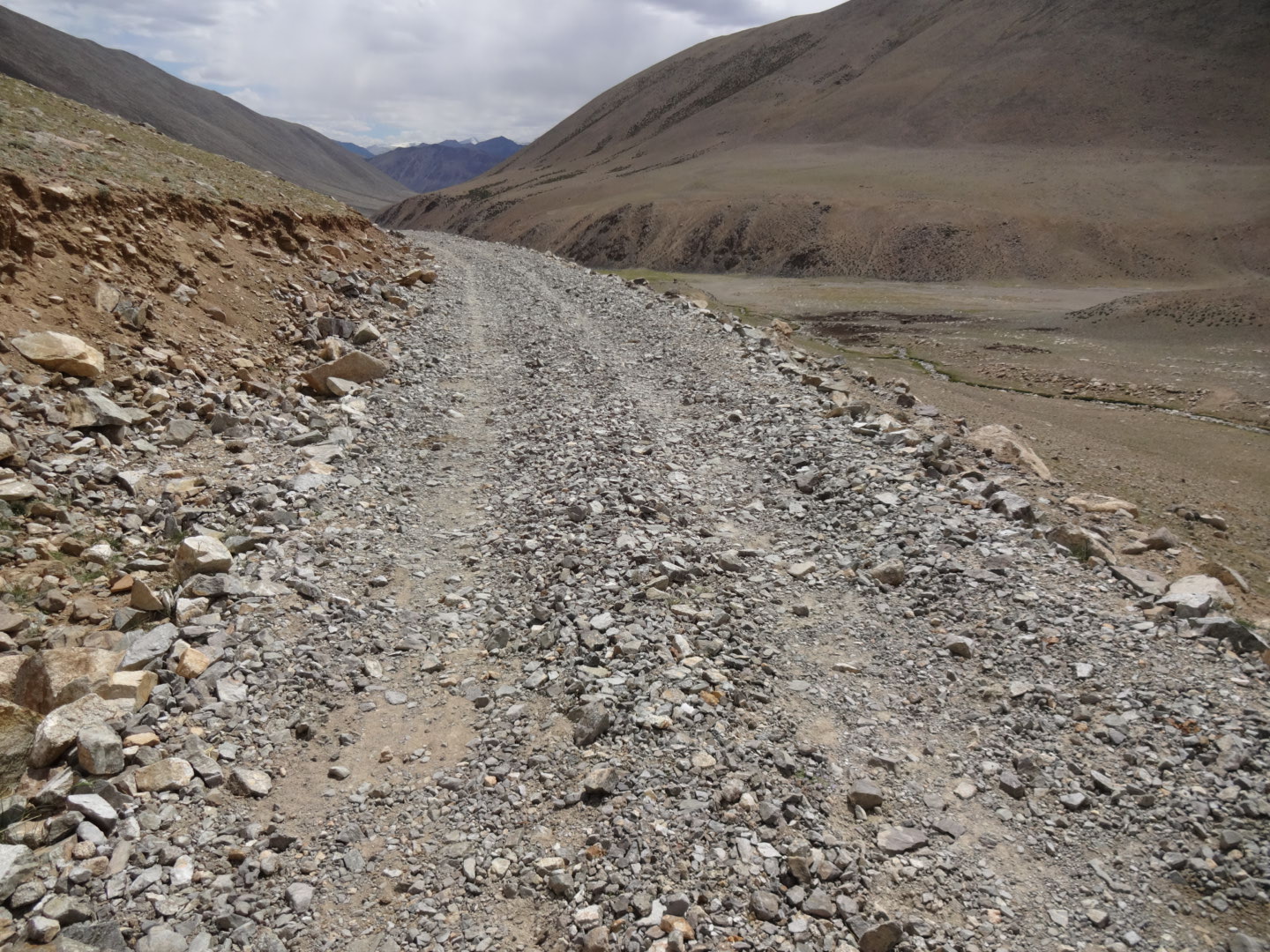
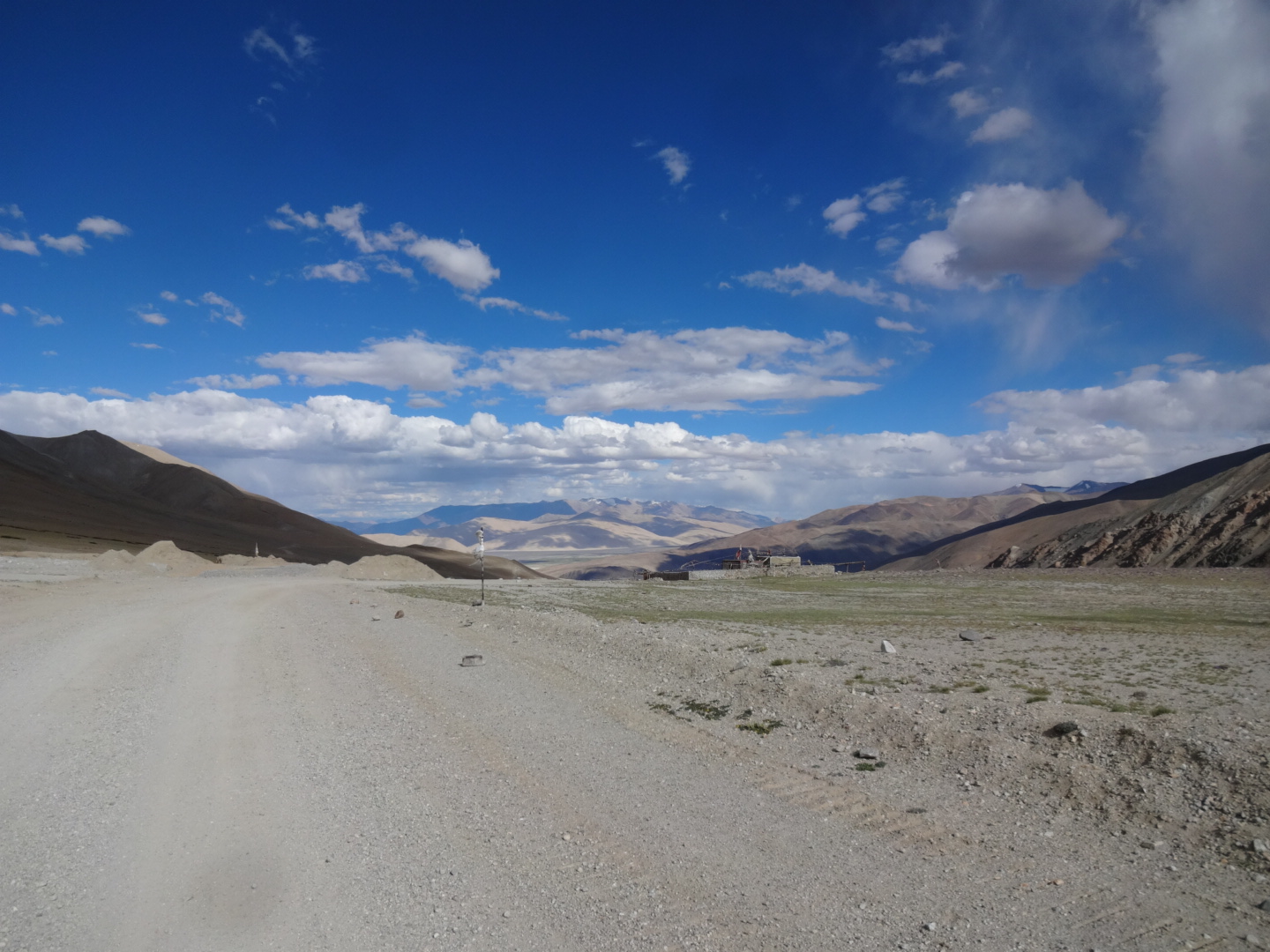
after pang, you have to climb about 5 kilometer to the moore plains. on the climb and on the plain, there was no water until the junction to tso kar (33.410N, 77.887E) where you find some tents.
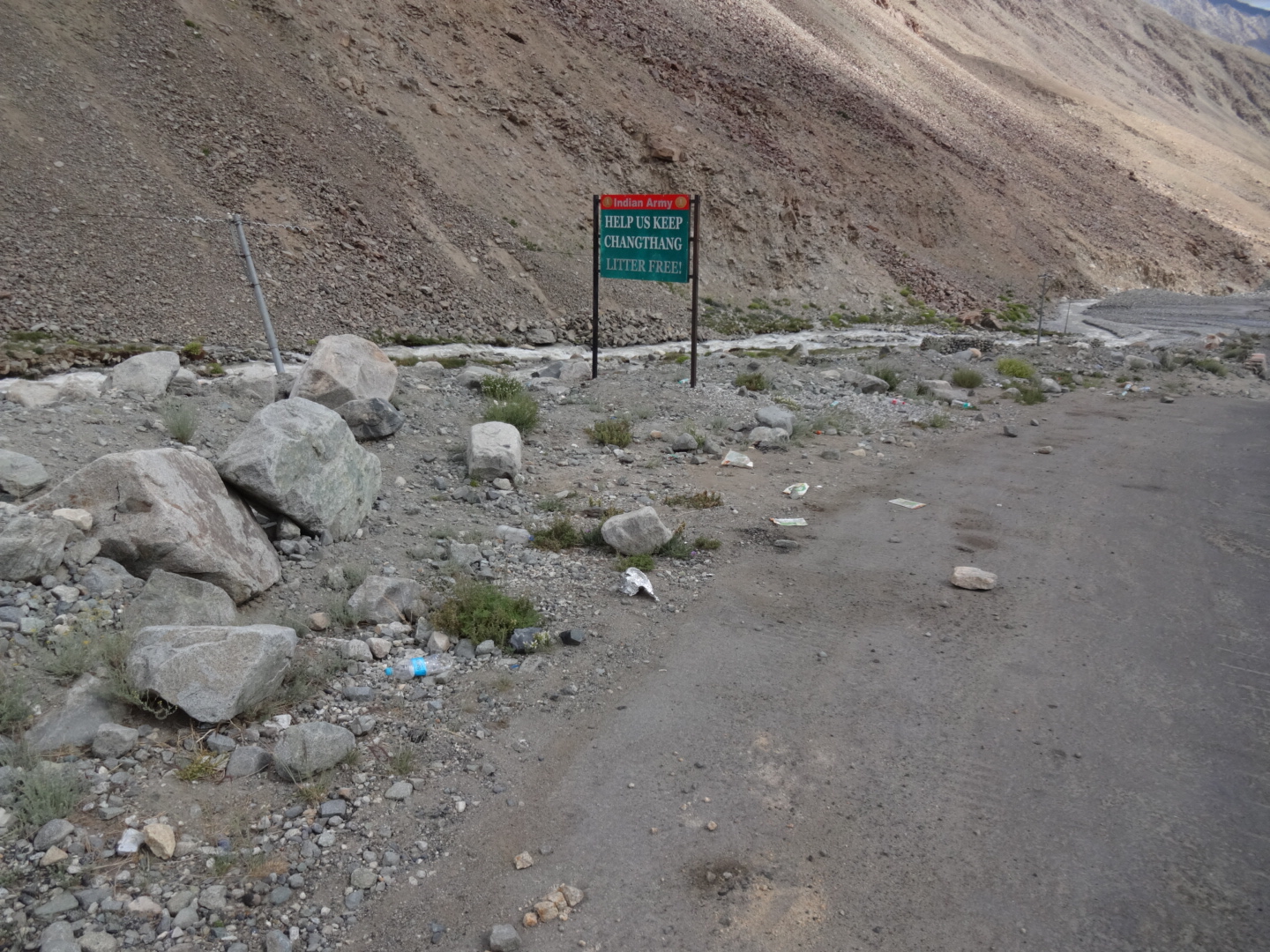
there is no permit needed for tso kar. somebody told me, that you can even go all the way to tso moriri (via sumdho), but i don’t know if that’s true. but if you are able to go there without a permit, you’d better go back the same way, as there is a checkpoint at mahe bridge (33.269N, 78.469E) where you need to show the protected area permit for that area.
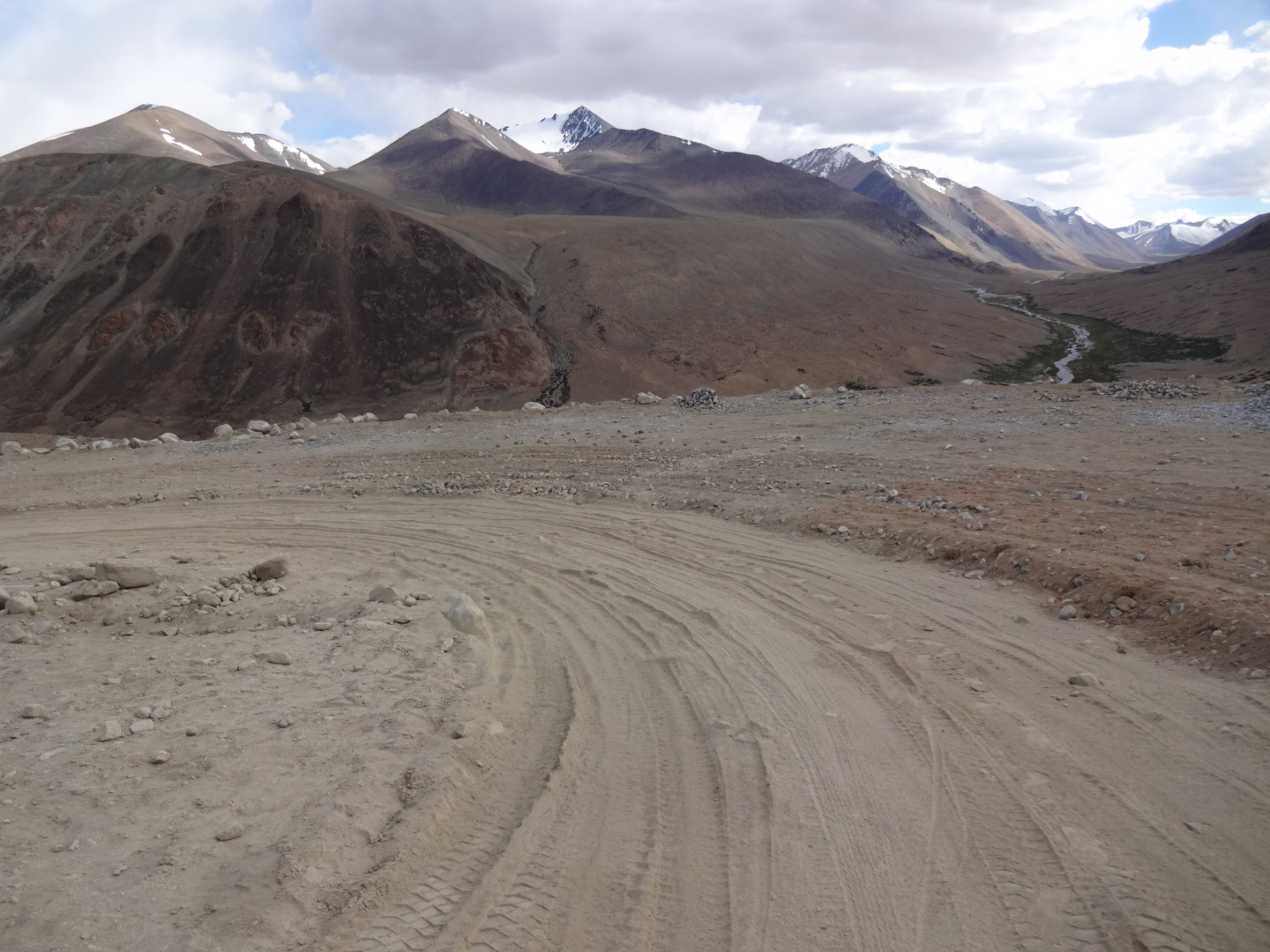
from the junction to tso kar you have to climb 25km to lachulung la (5059m). there were two small streams on the way up. the road was not completely paved.
the road from the pass to upshi was in very good (indian) condition.
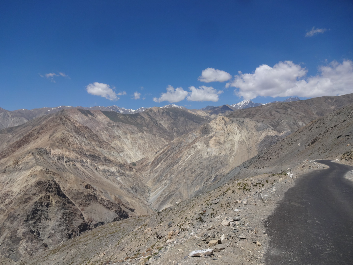
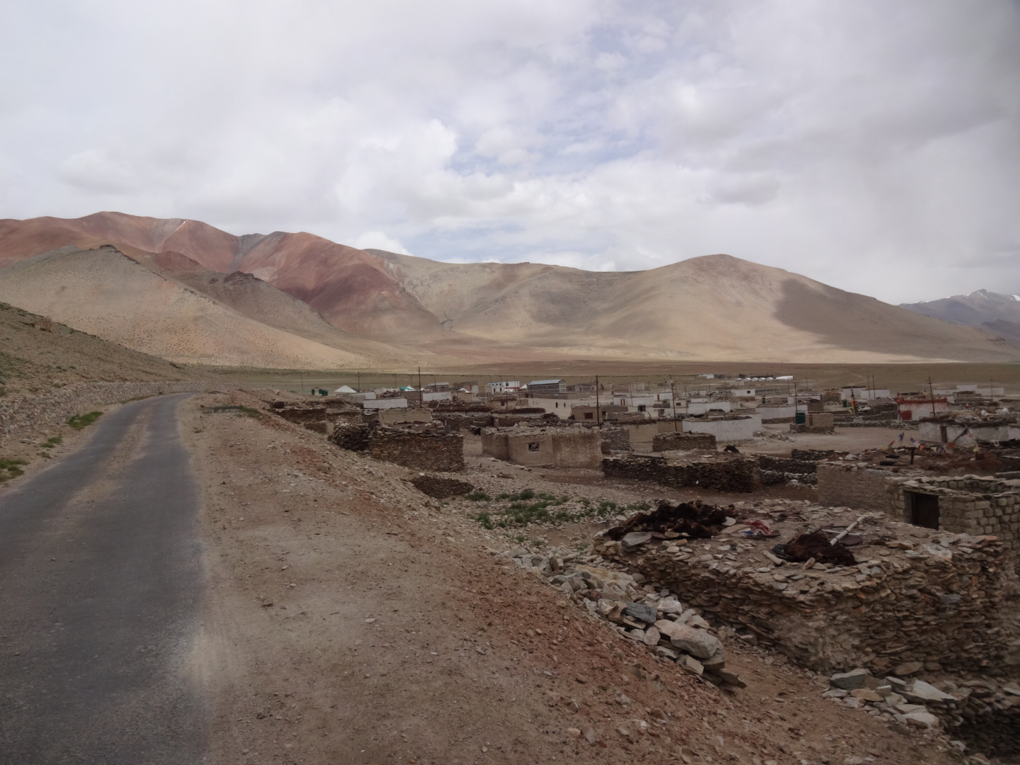
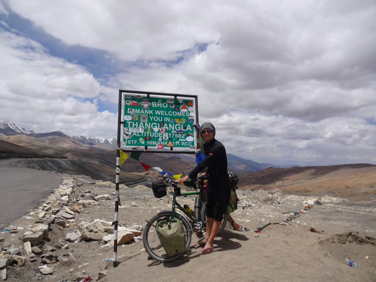
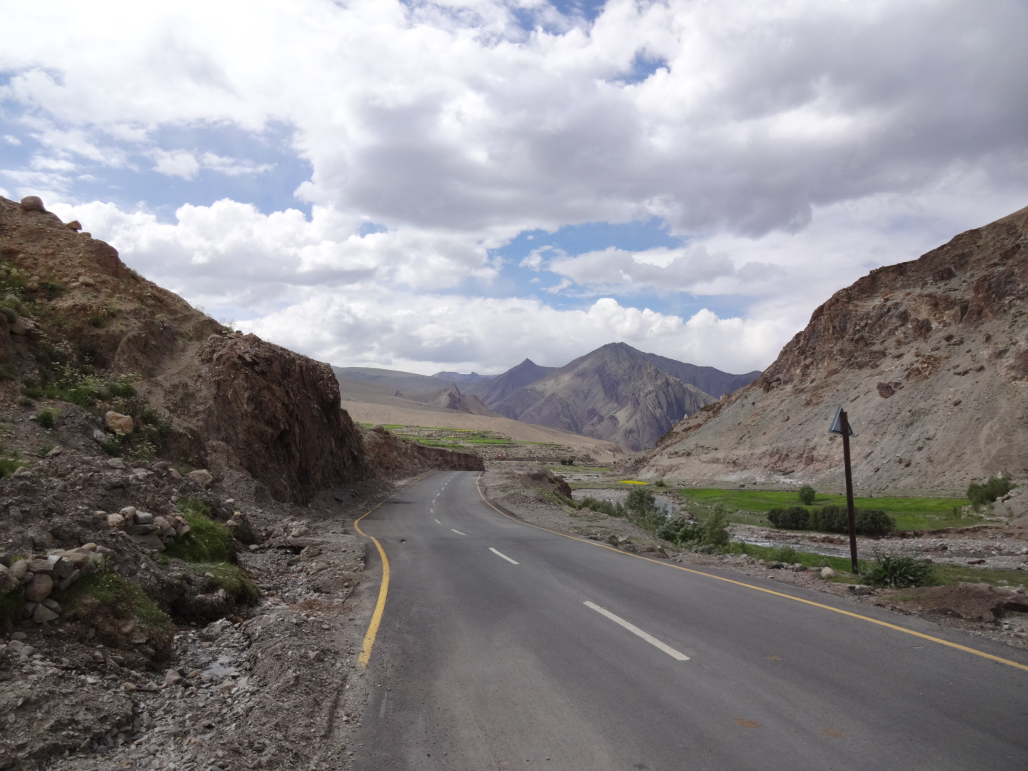
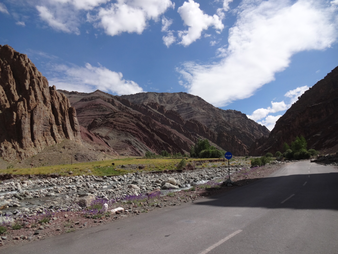
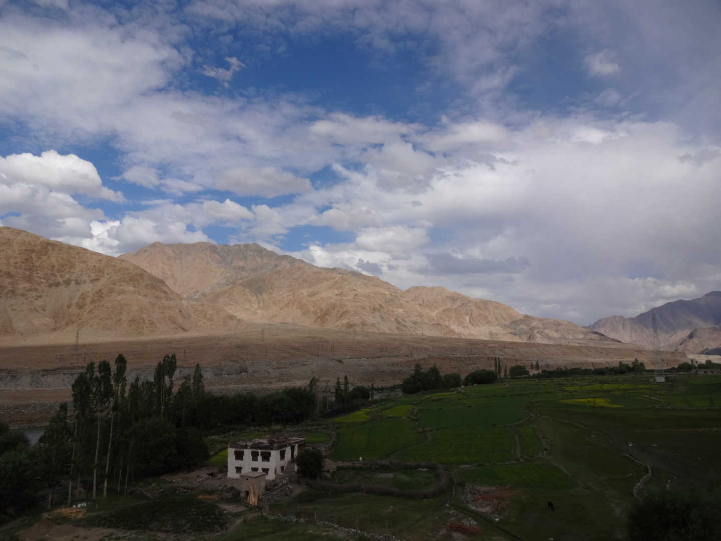
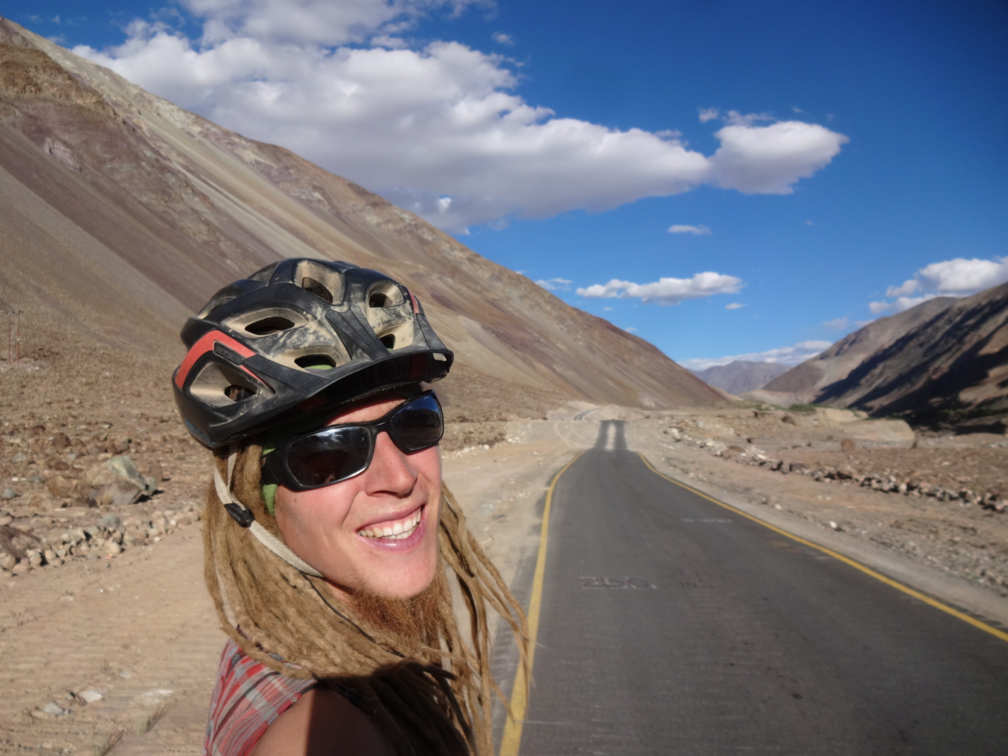
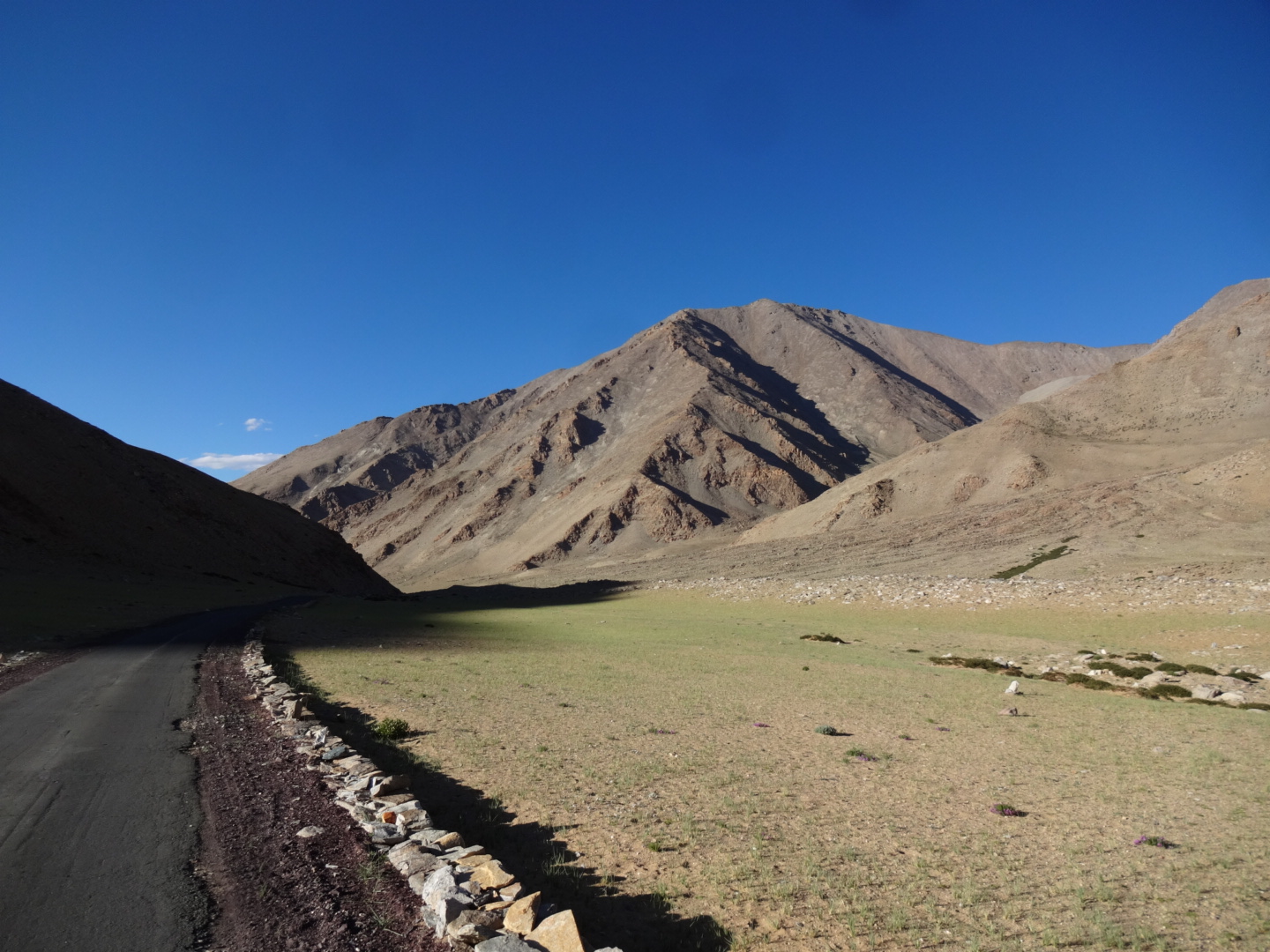
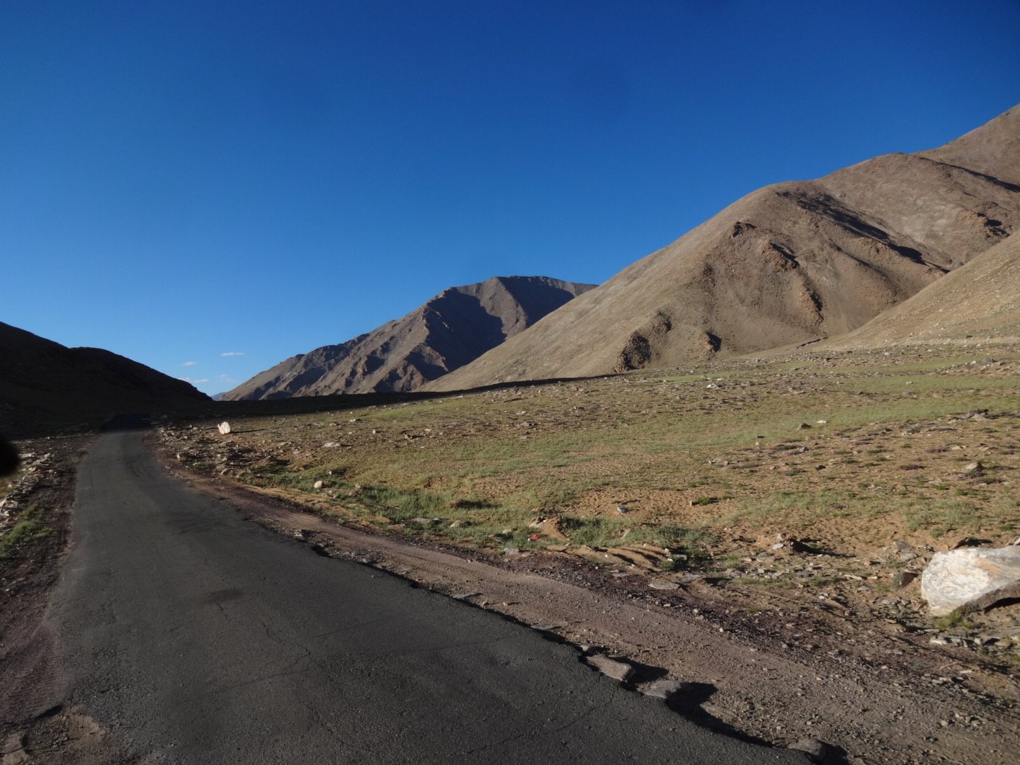
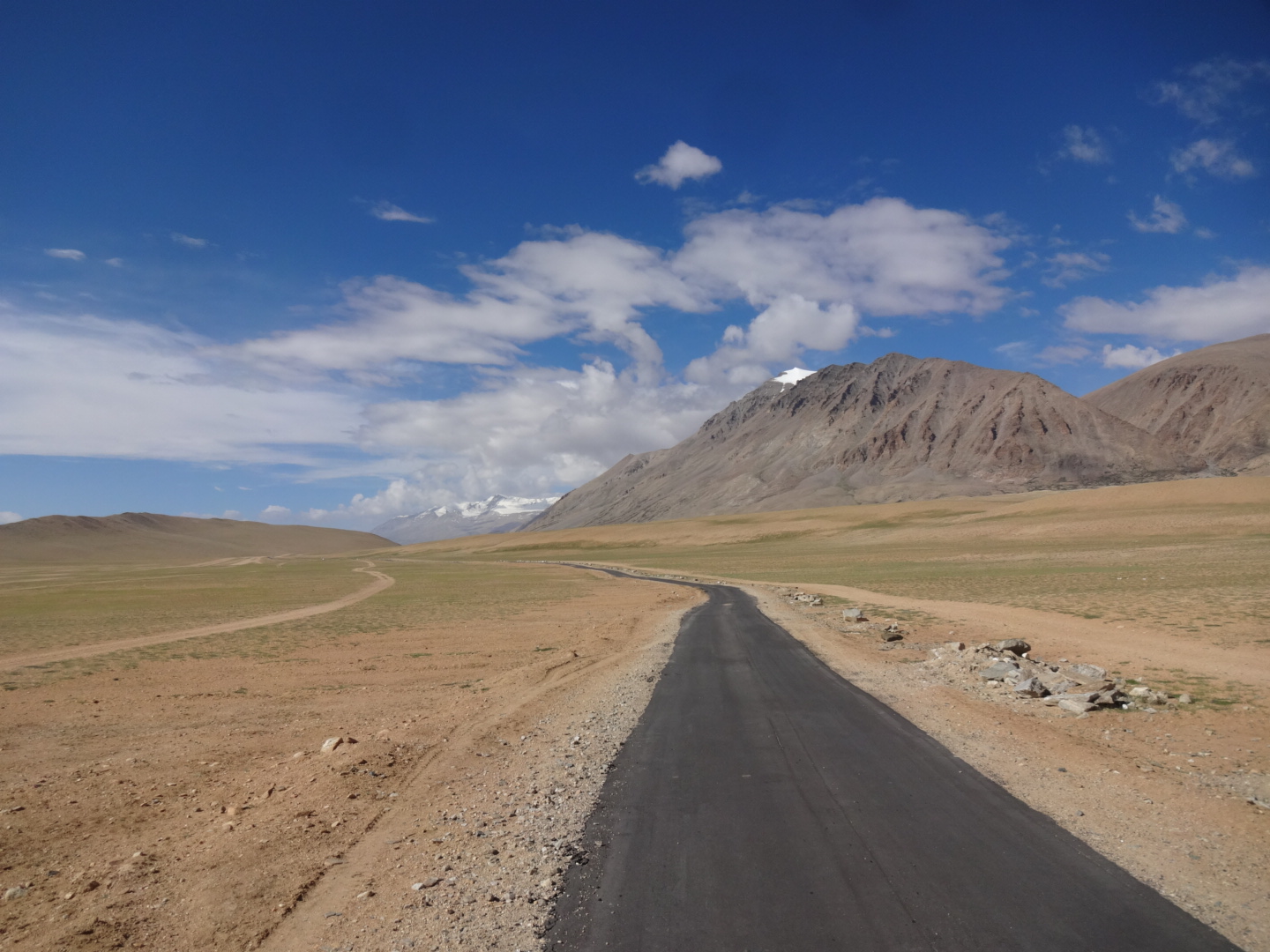
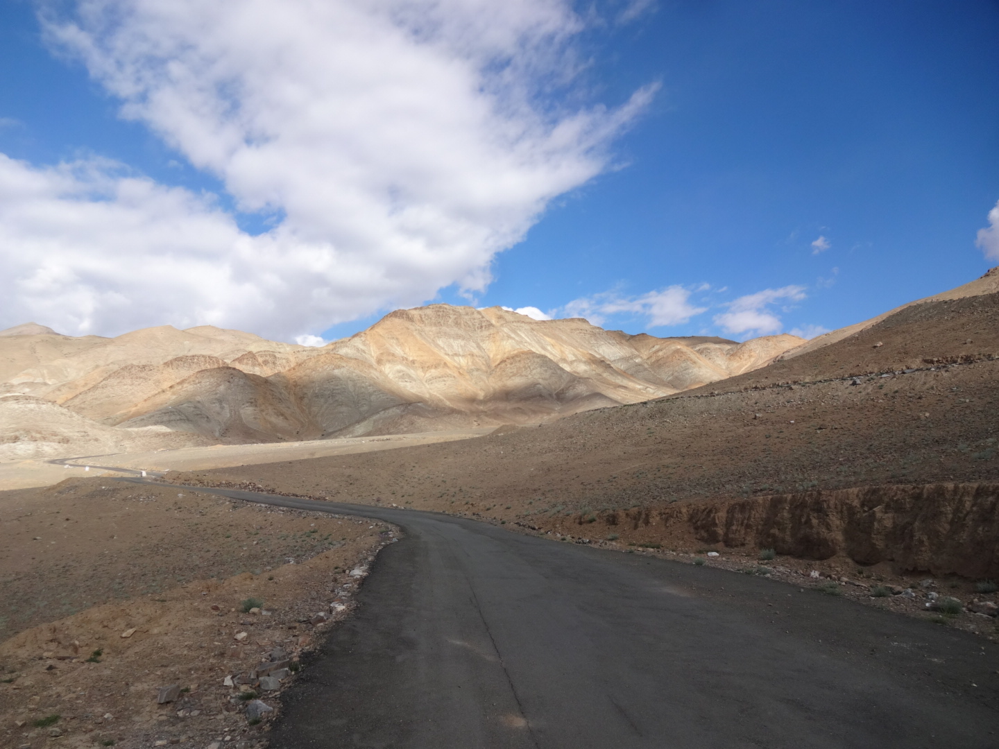
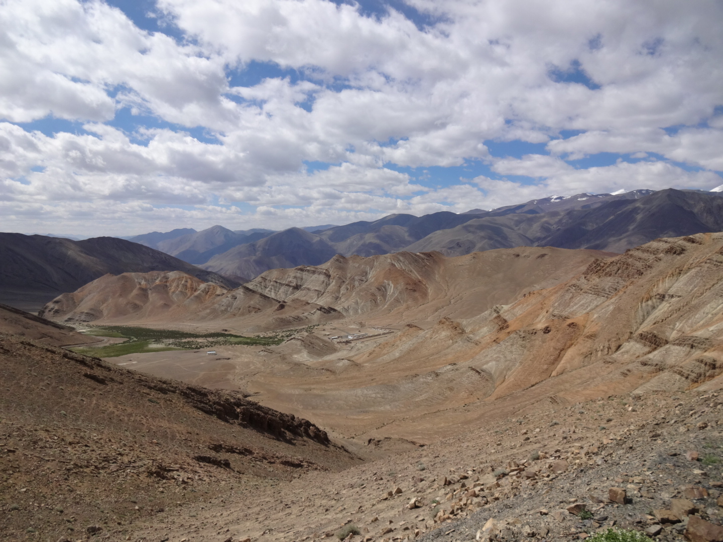
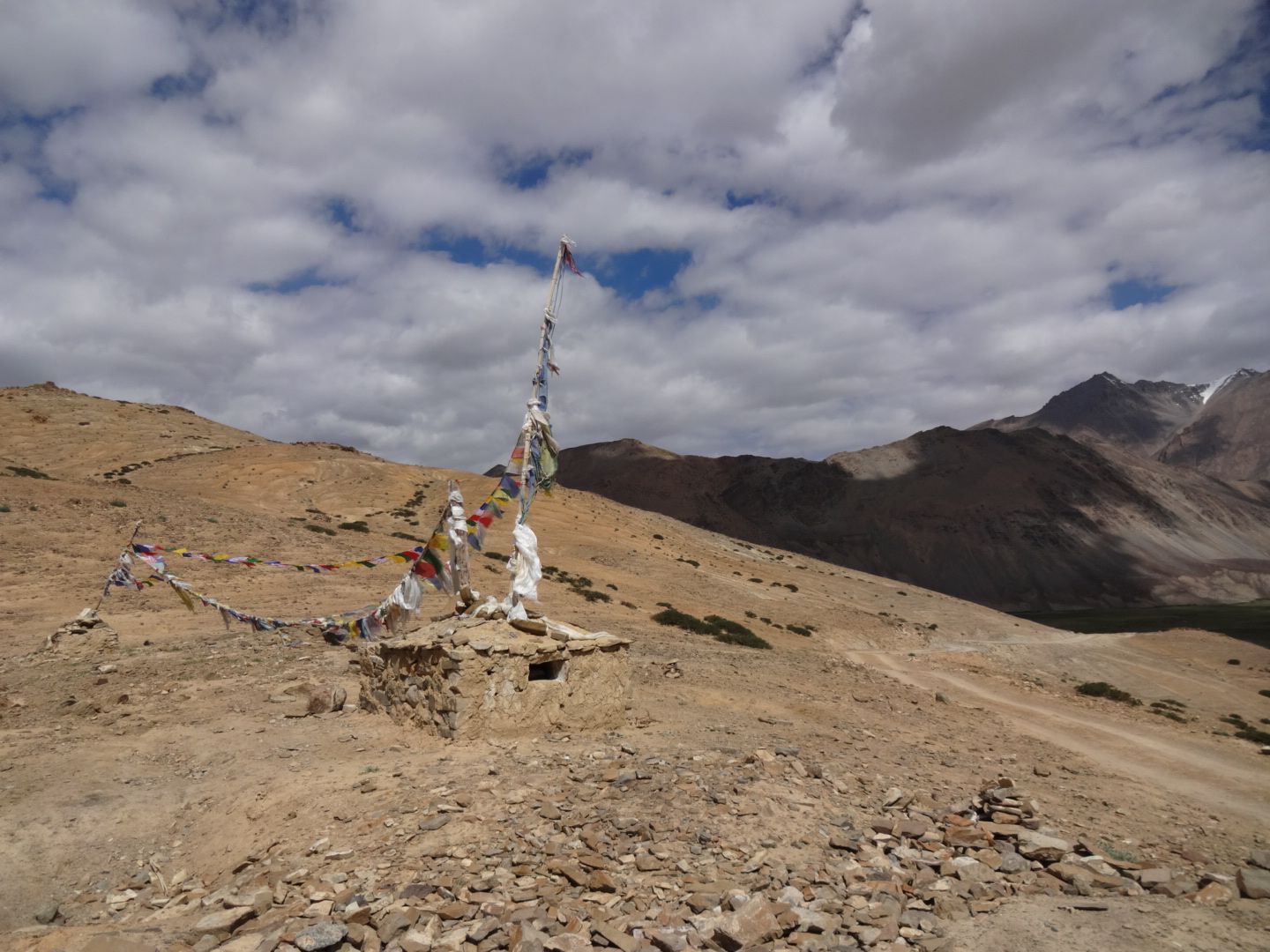
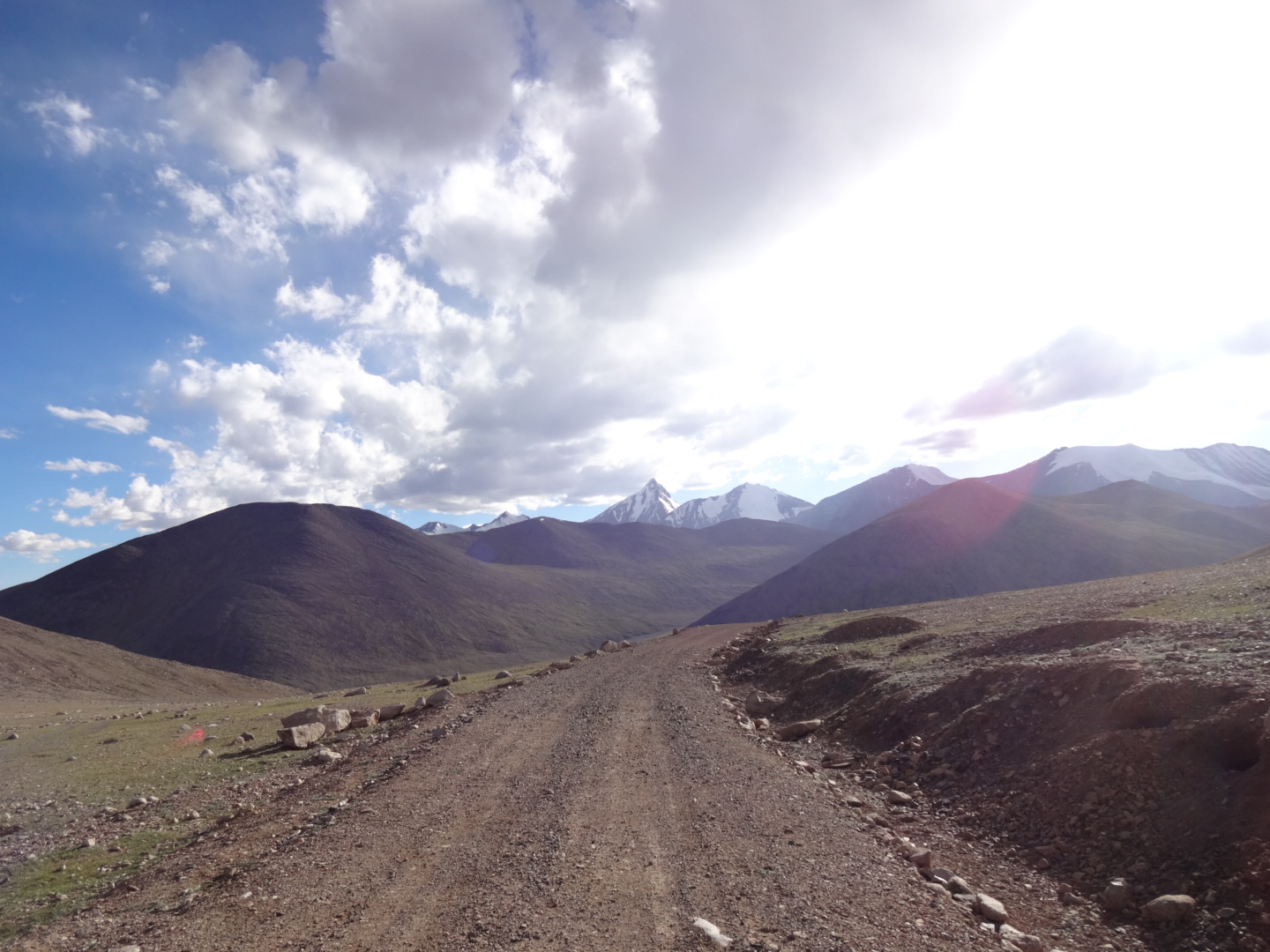
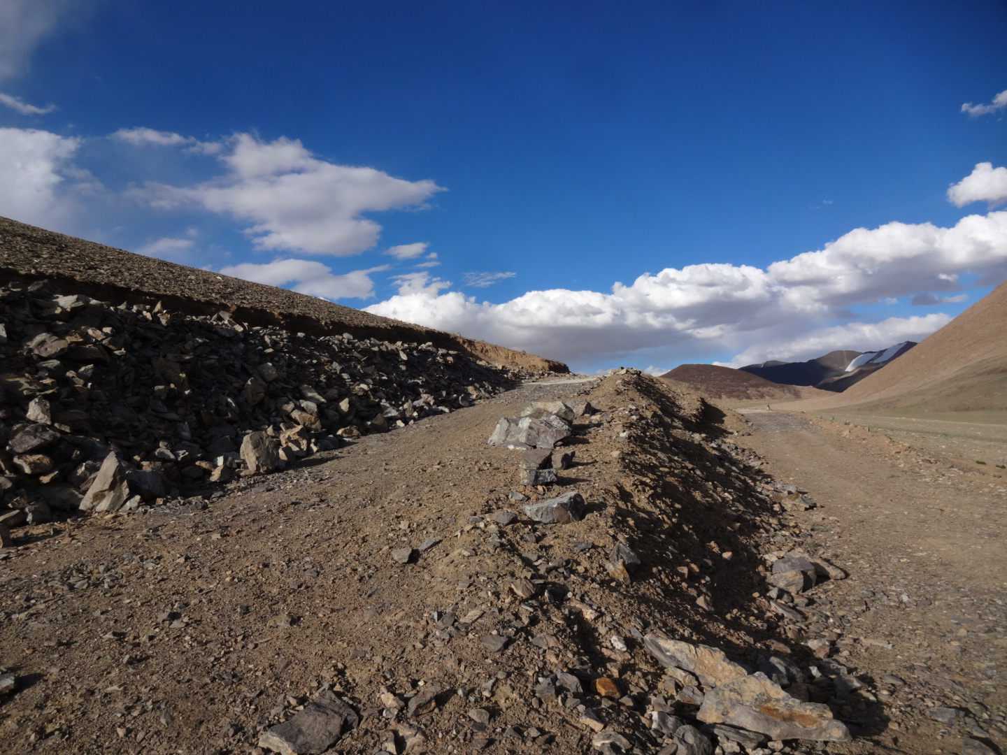
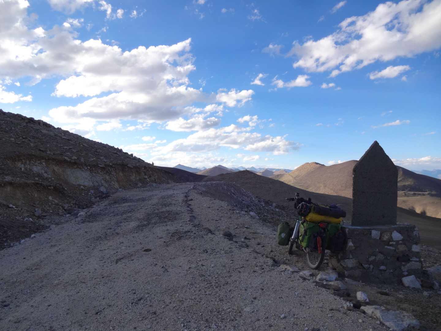
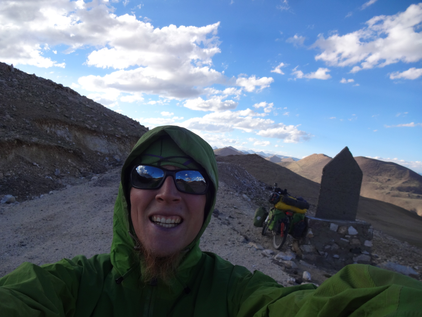
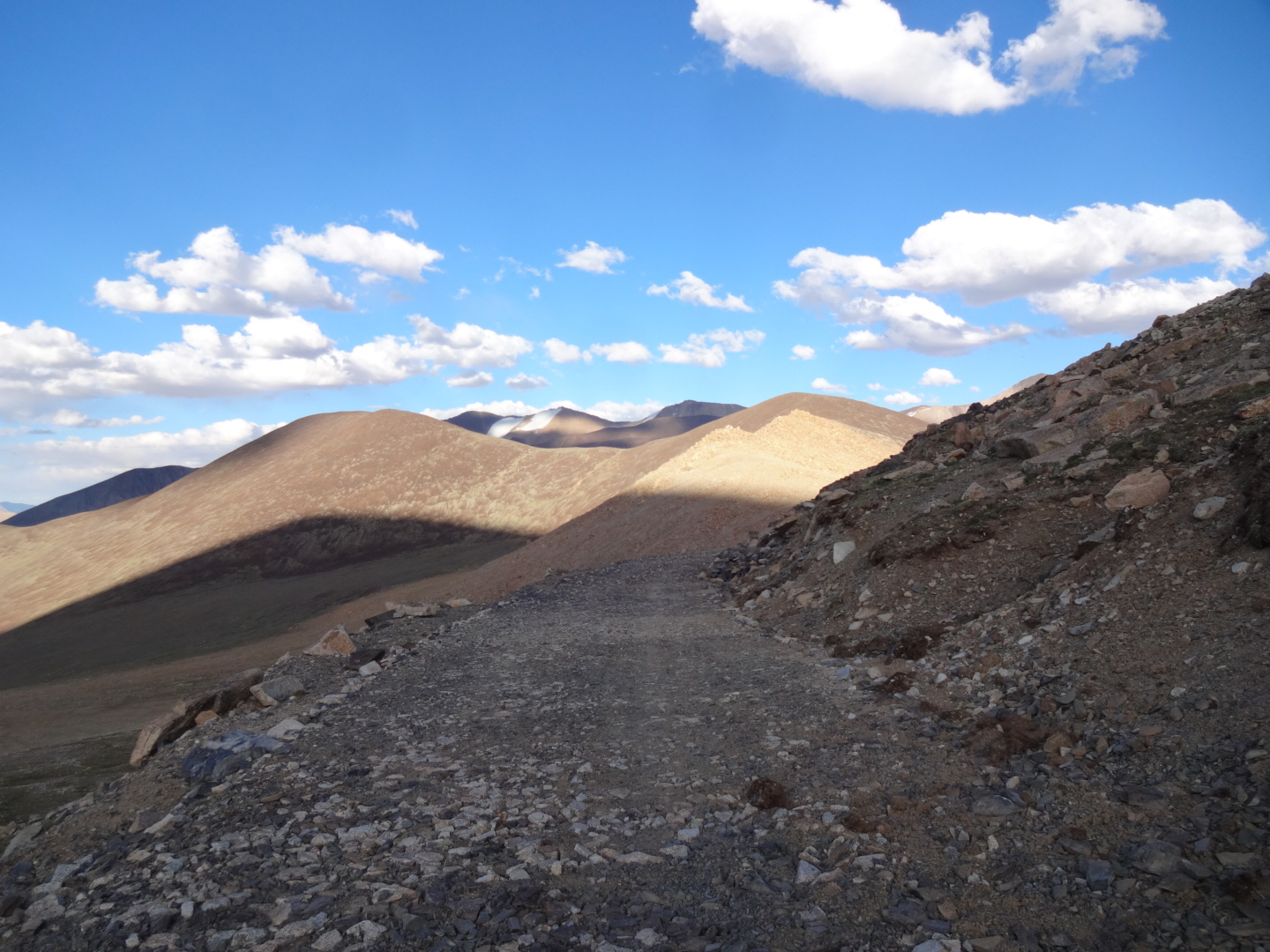
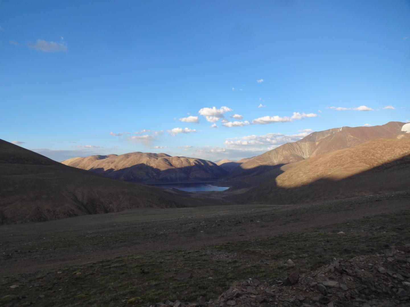
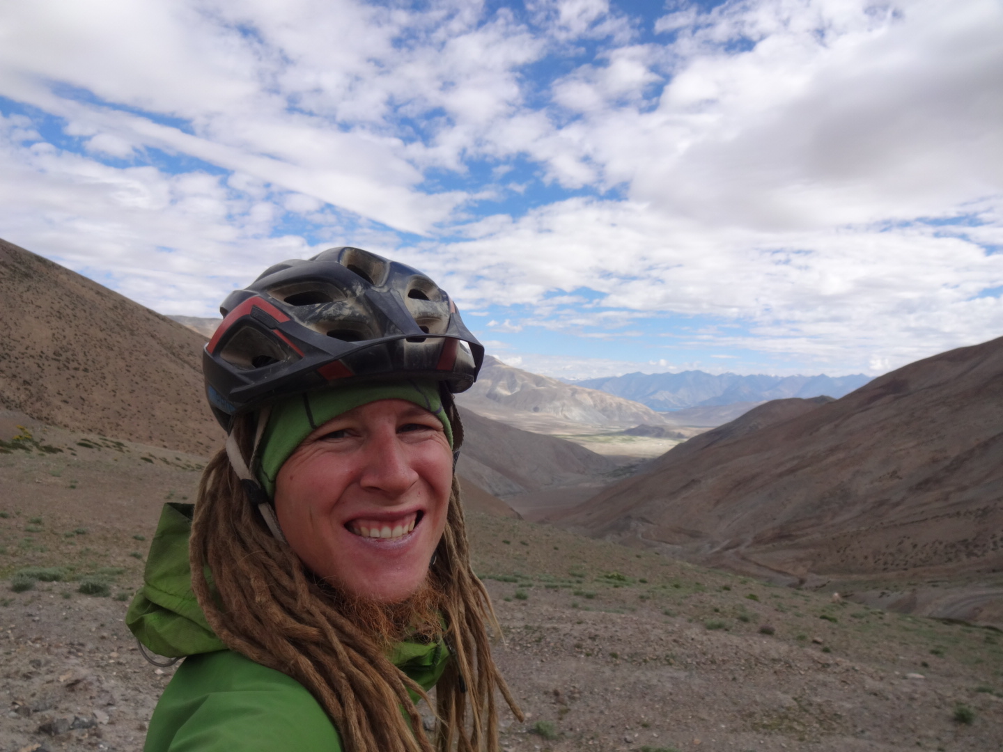
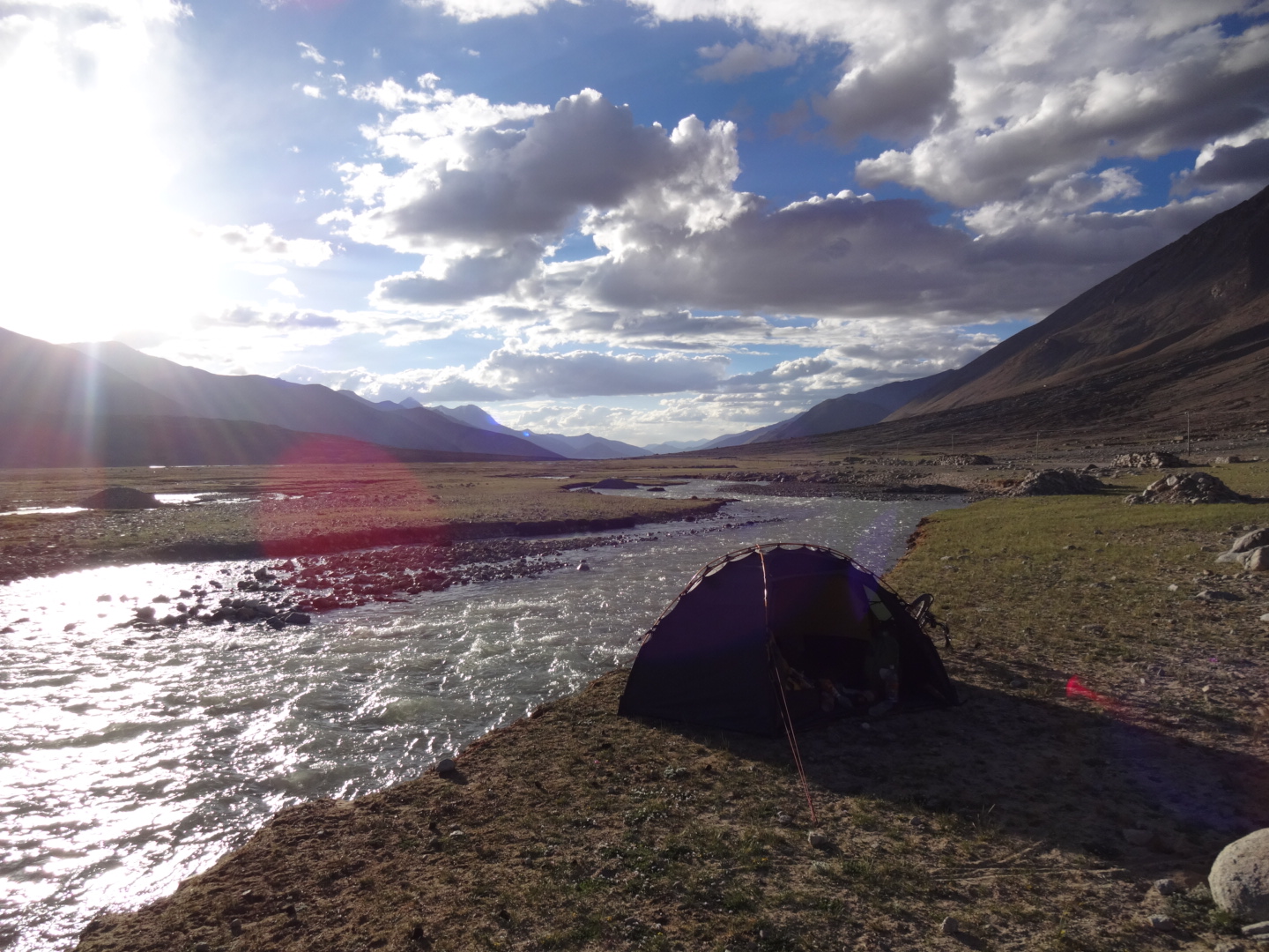
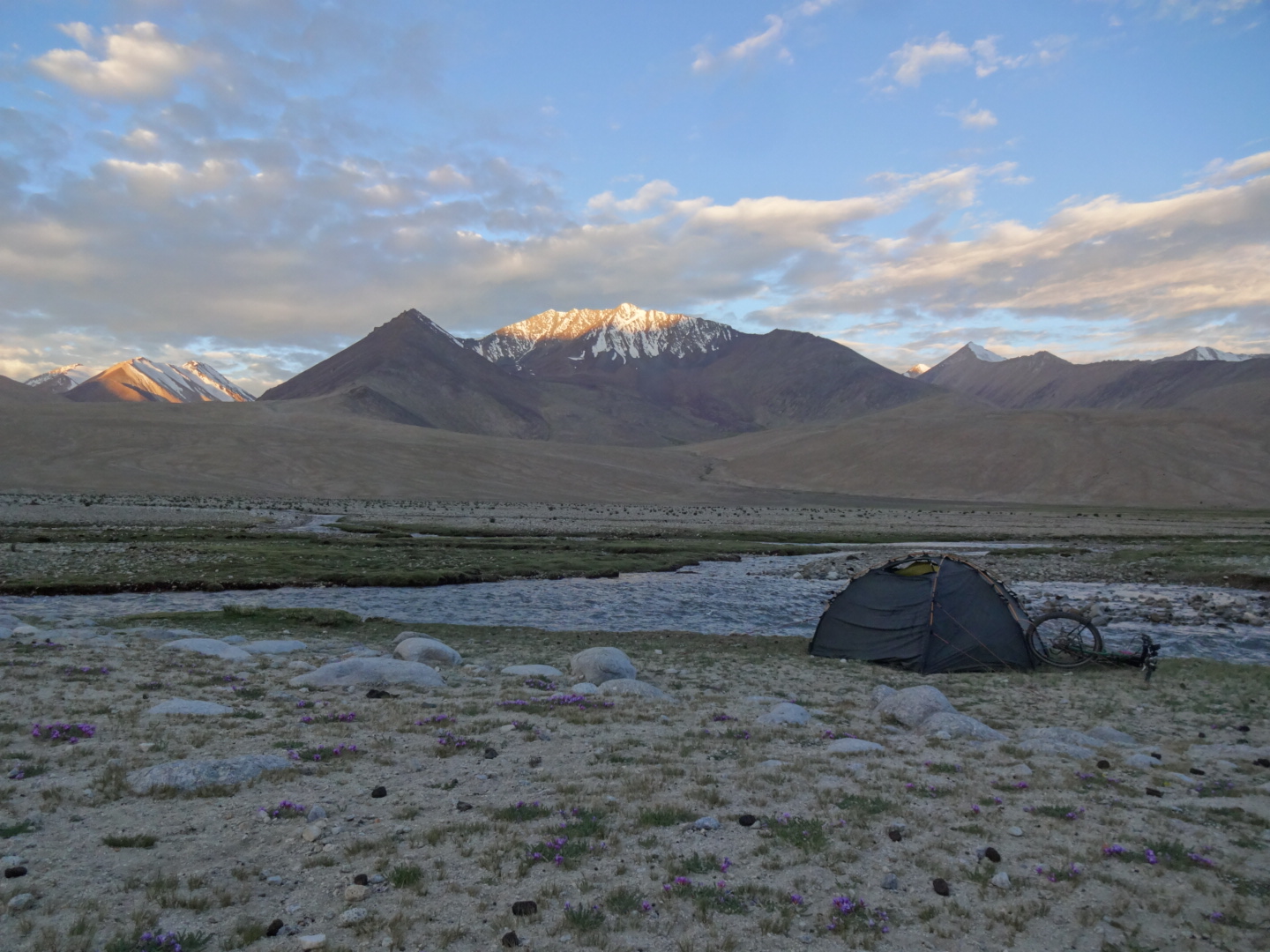
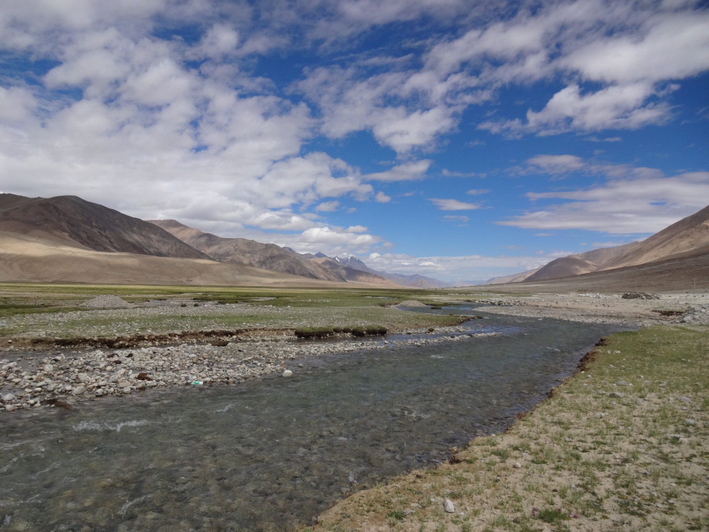
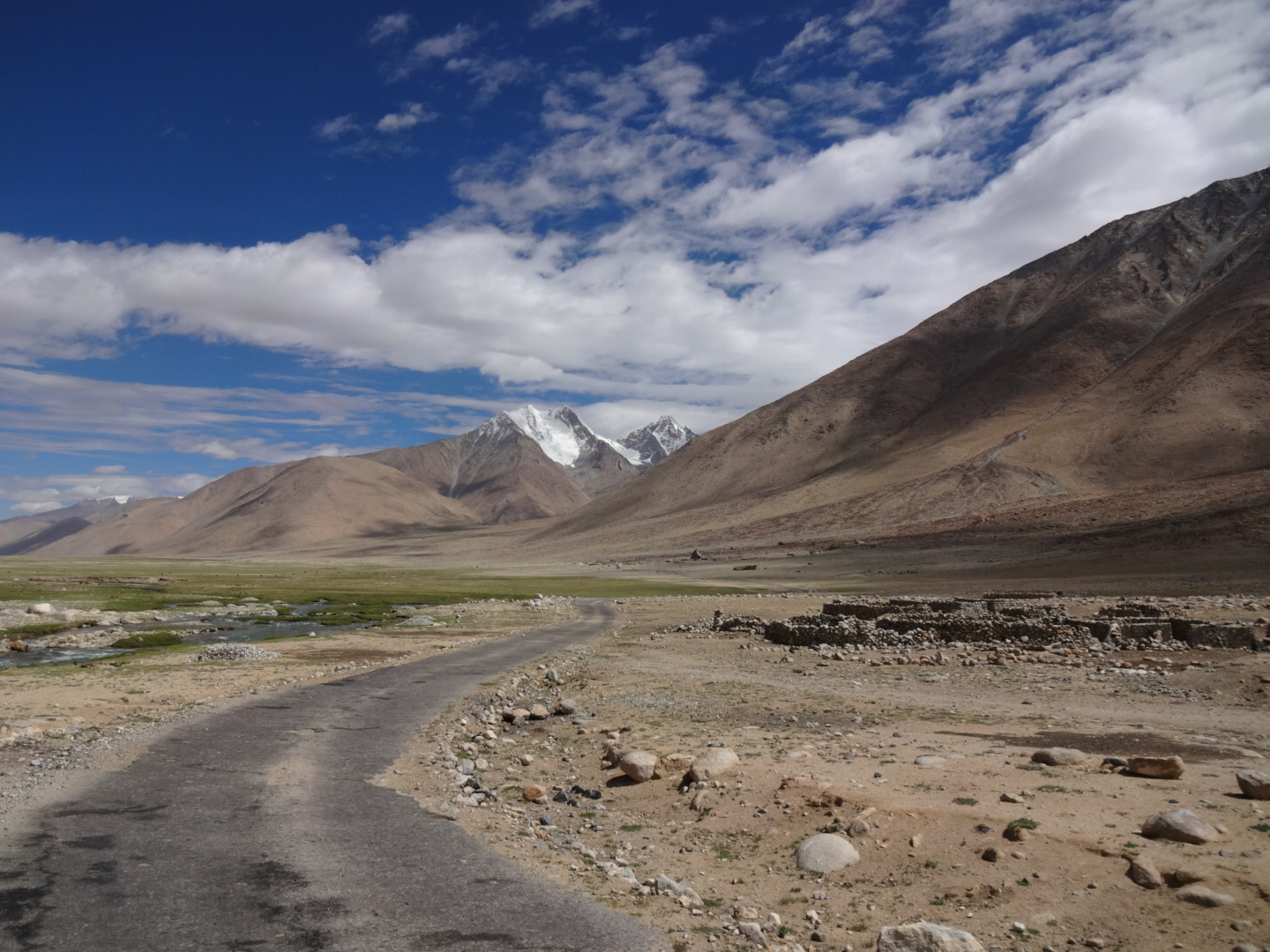
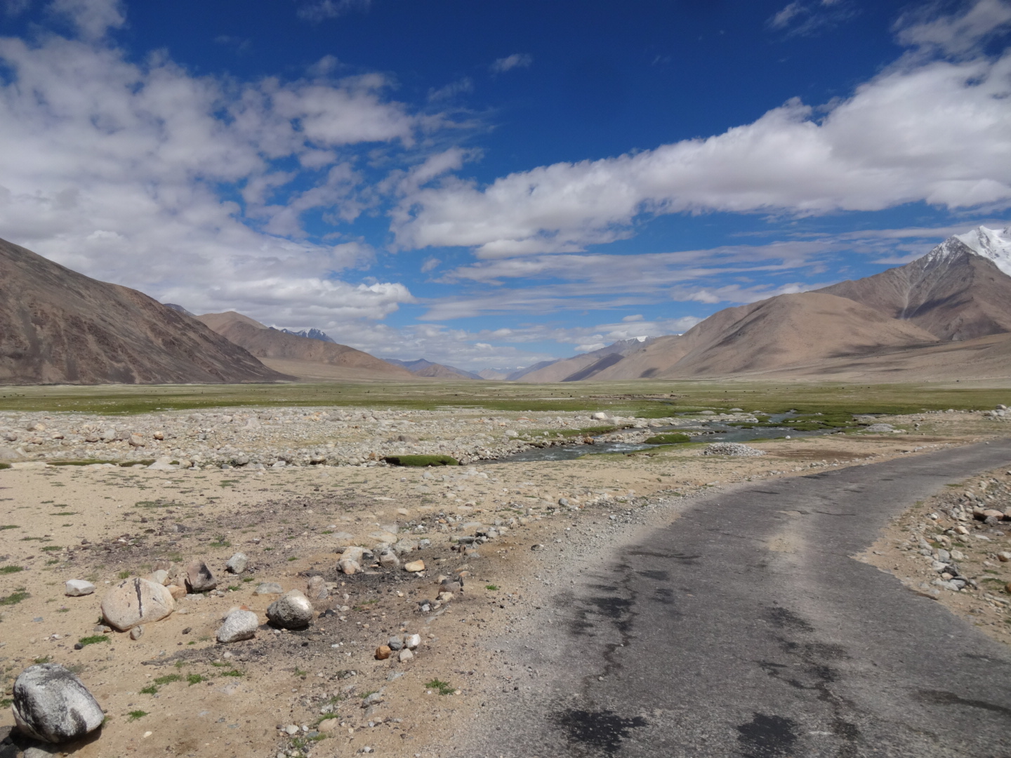
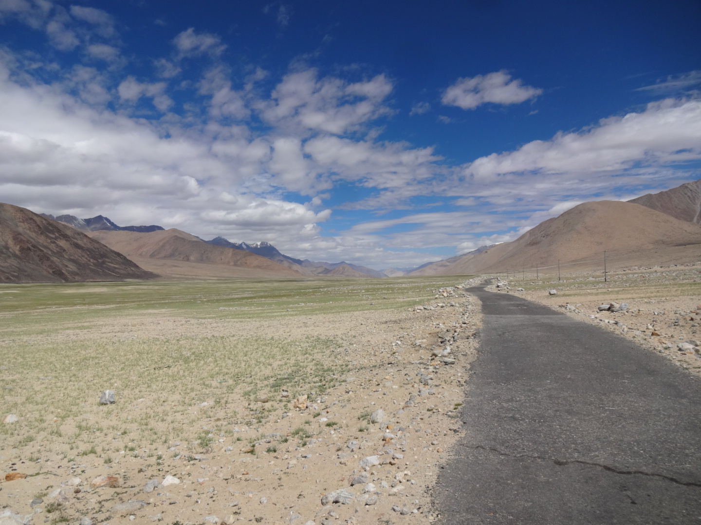
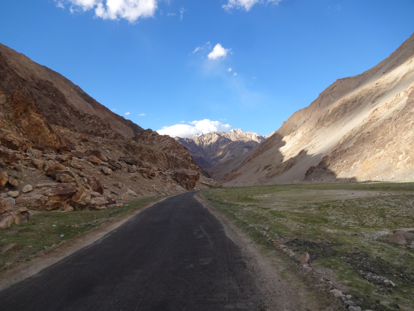
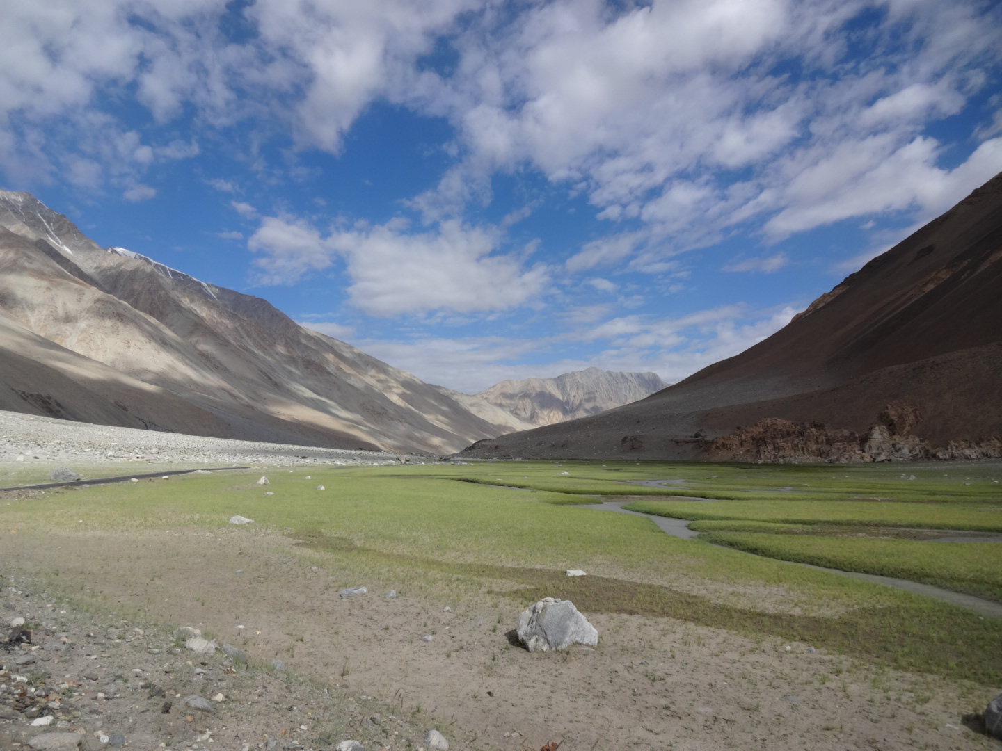
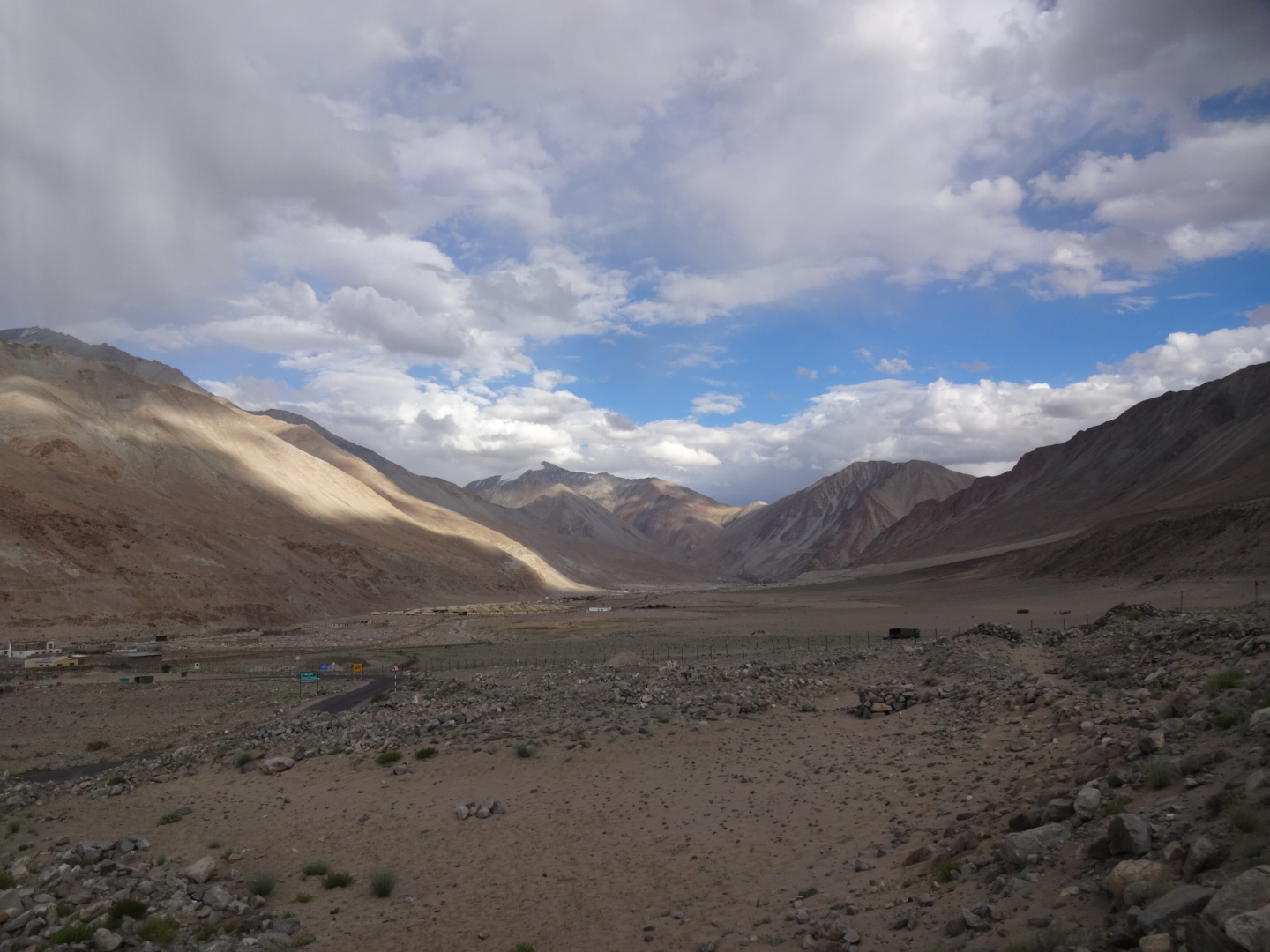
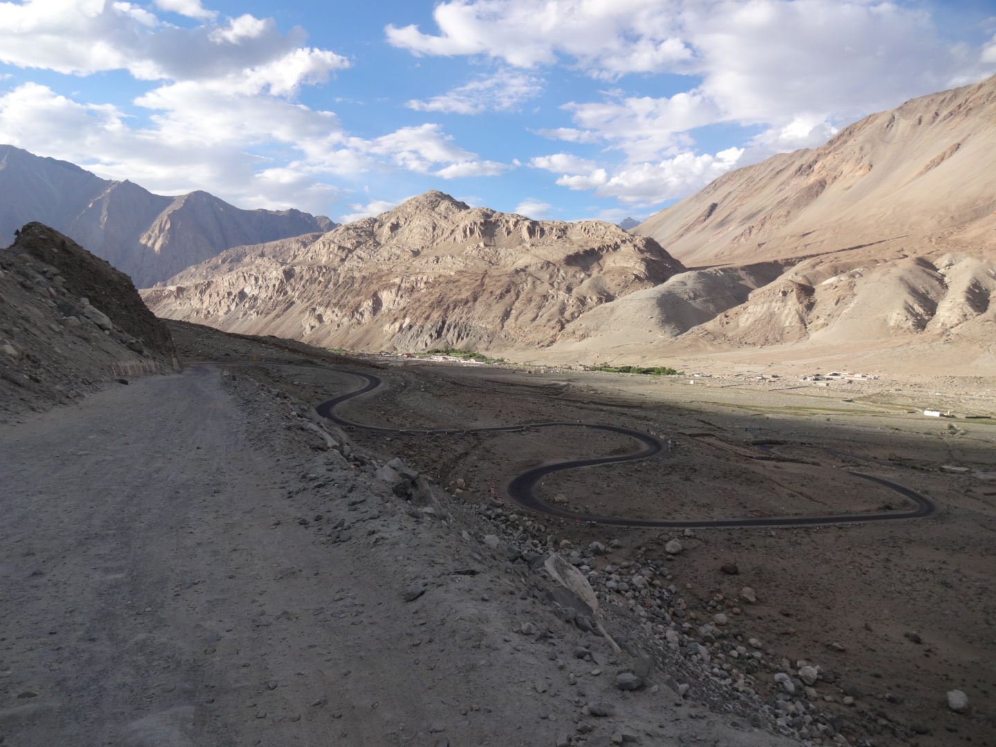
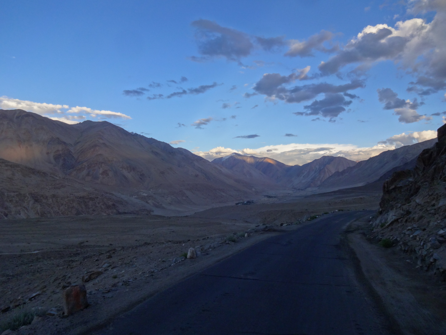
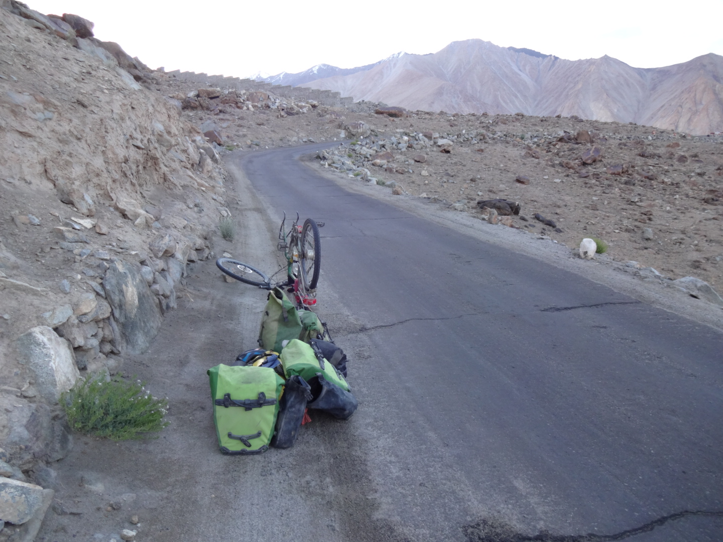
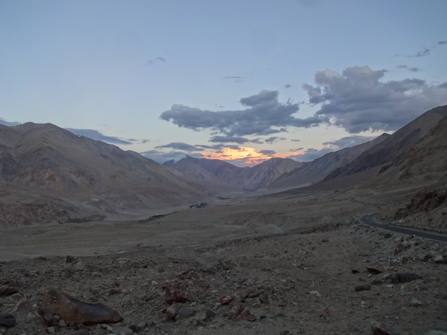
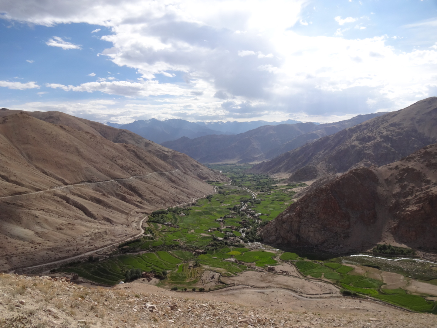
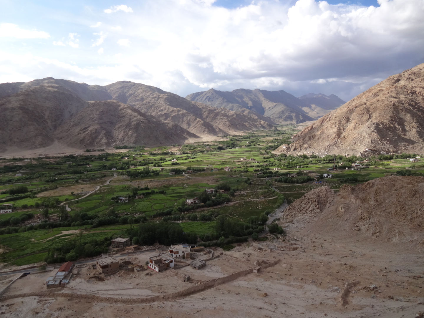
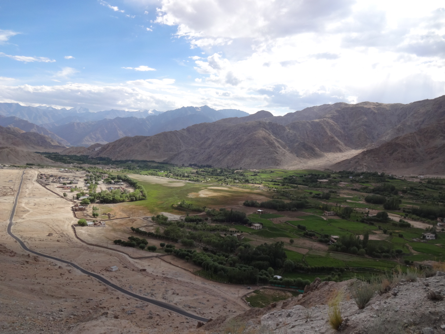
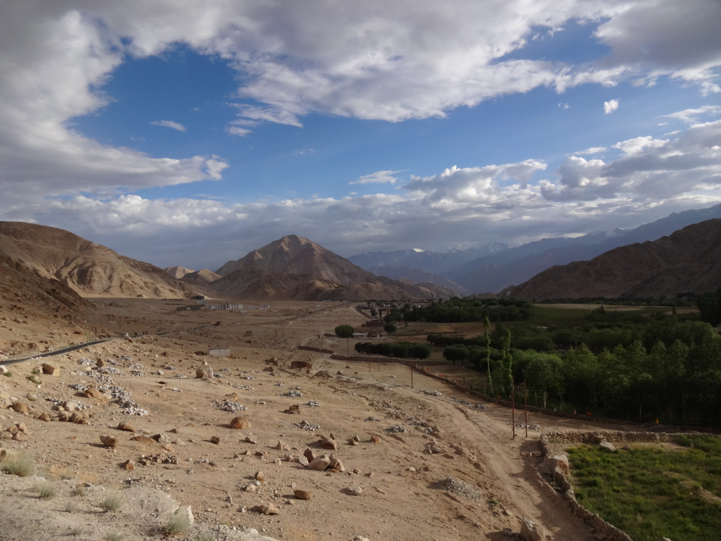
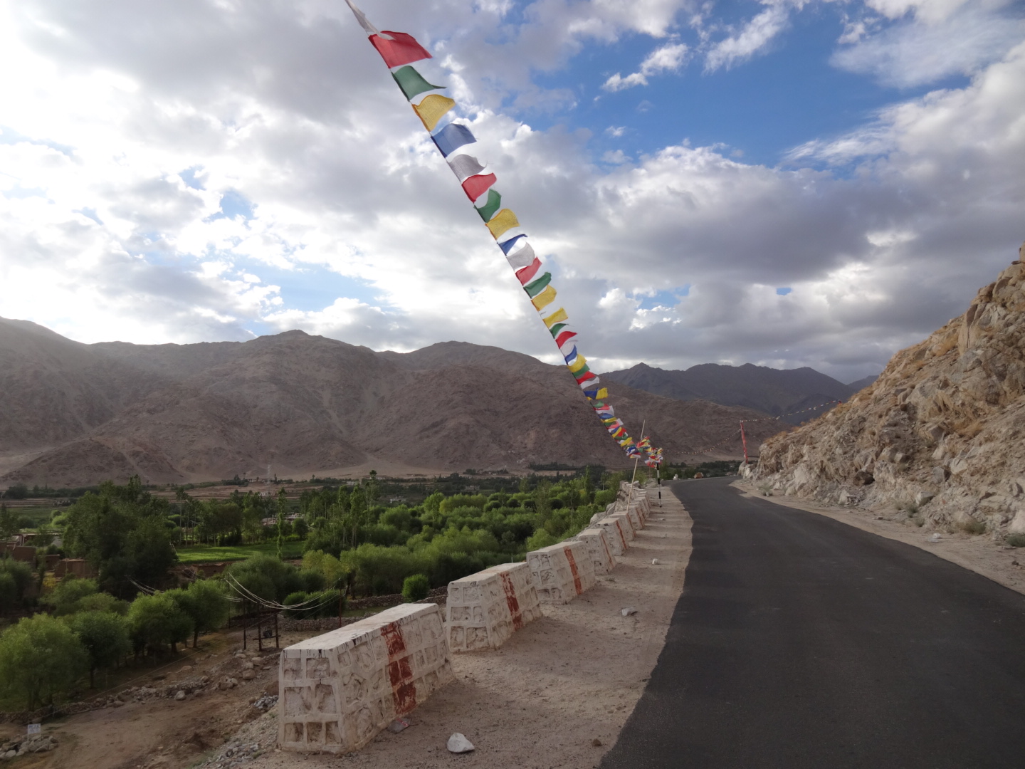
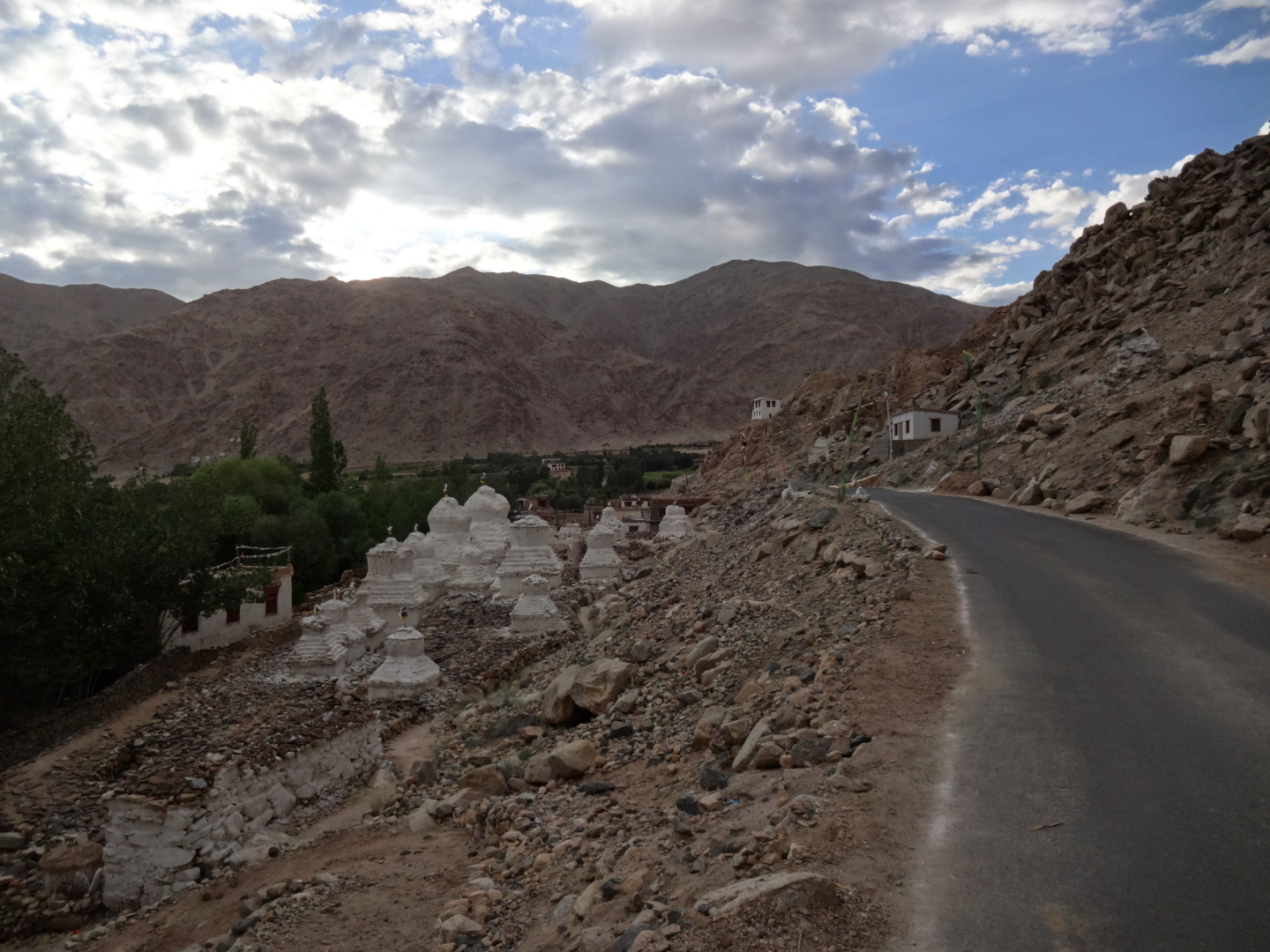
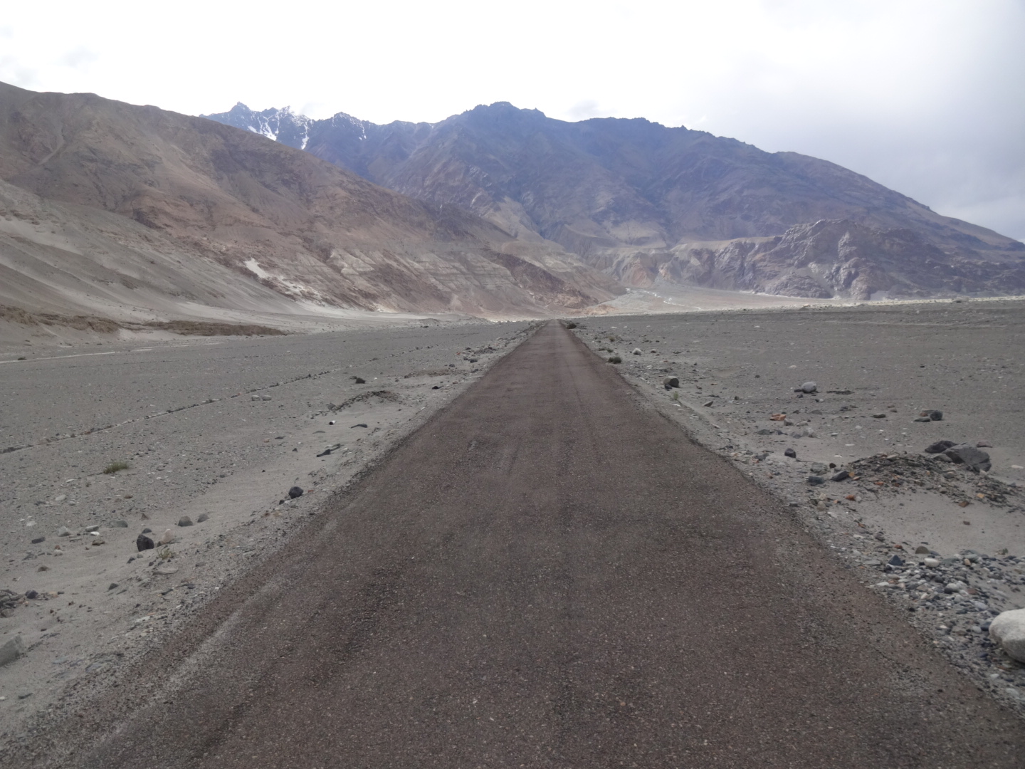
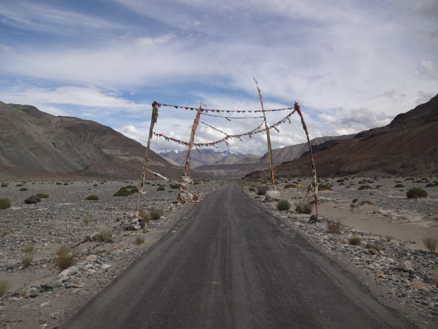
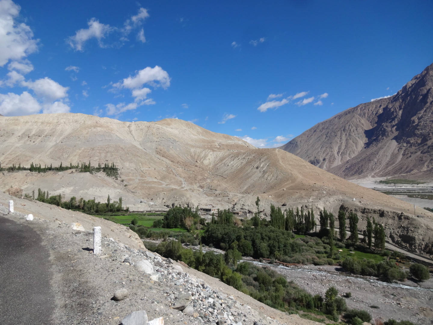
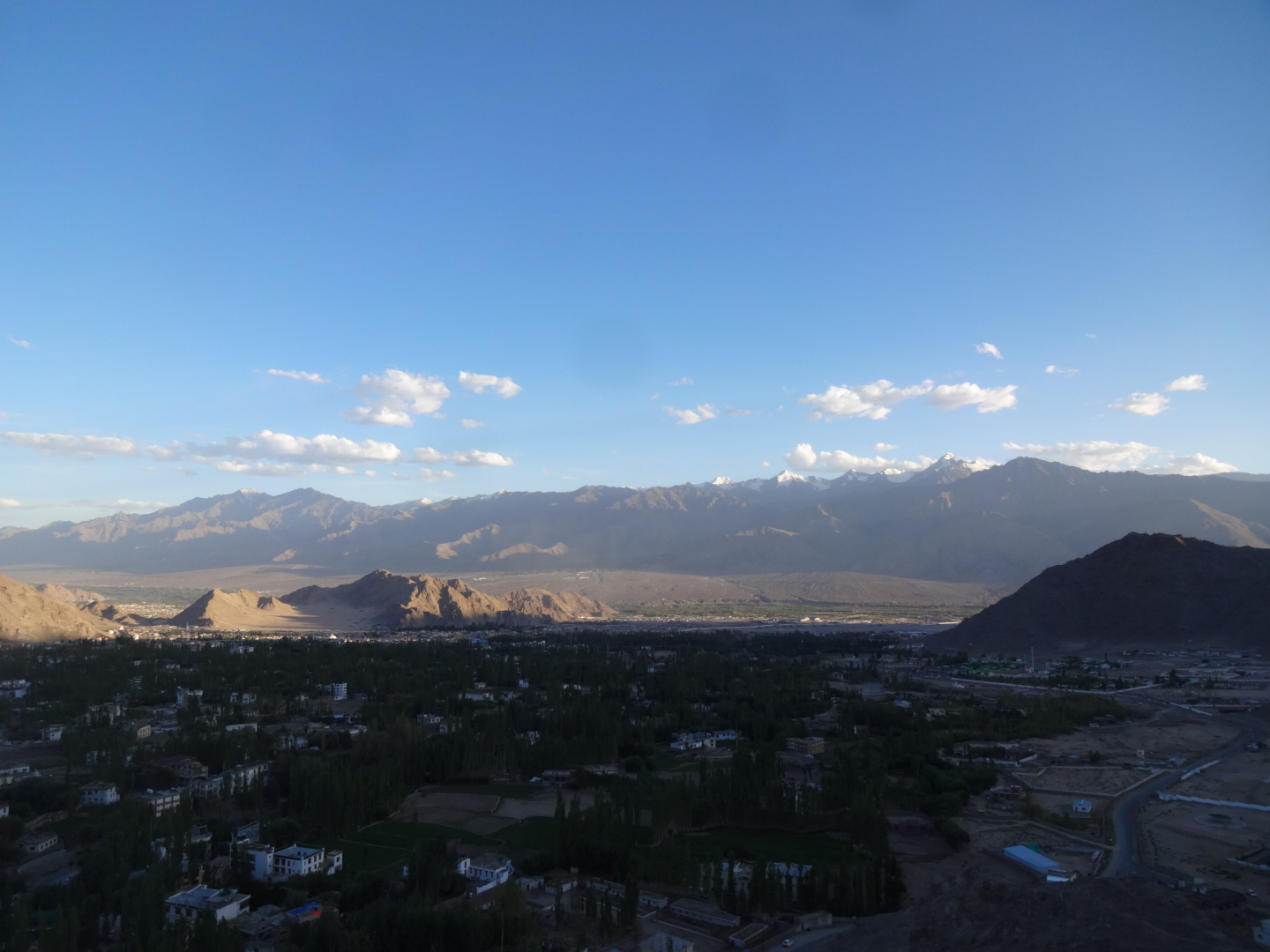
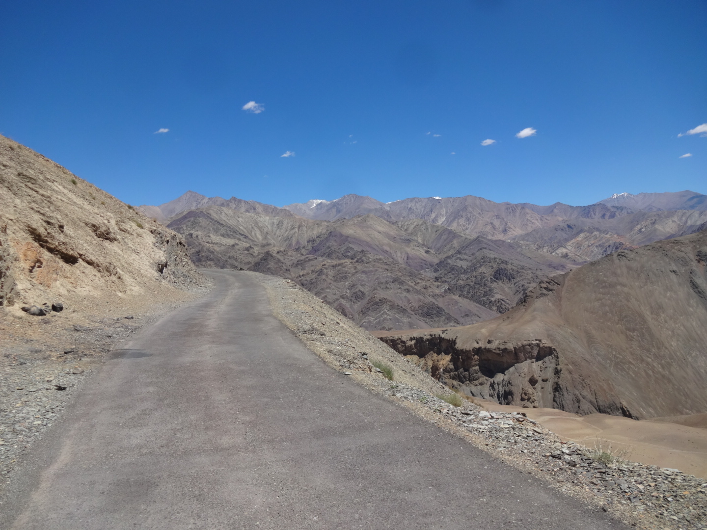
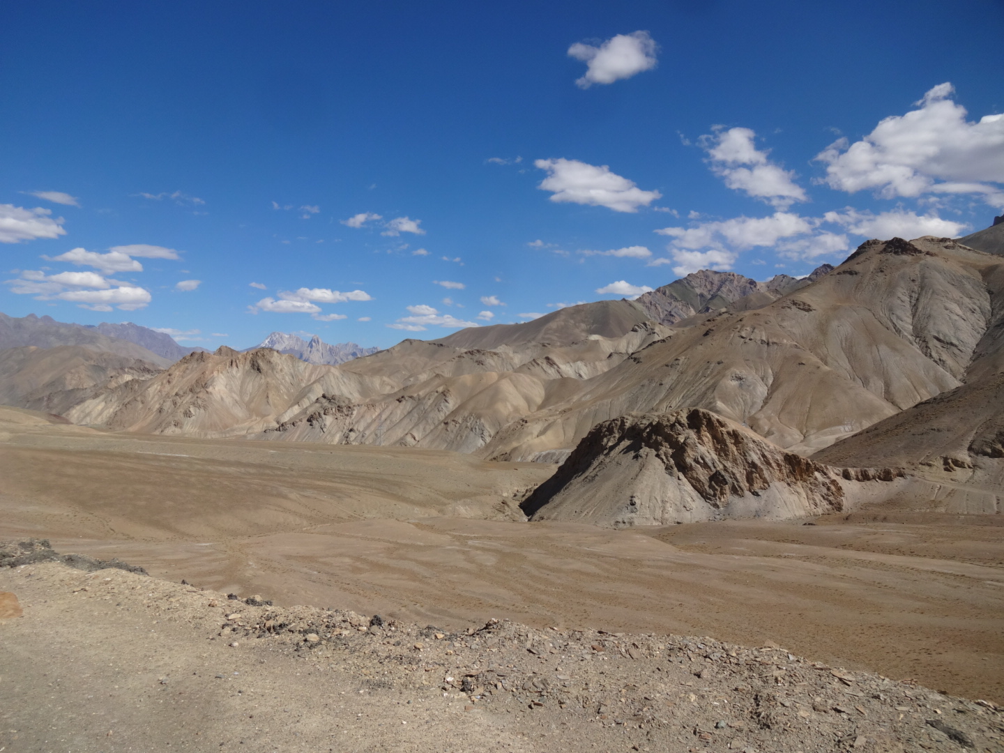
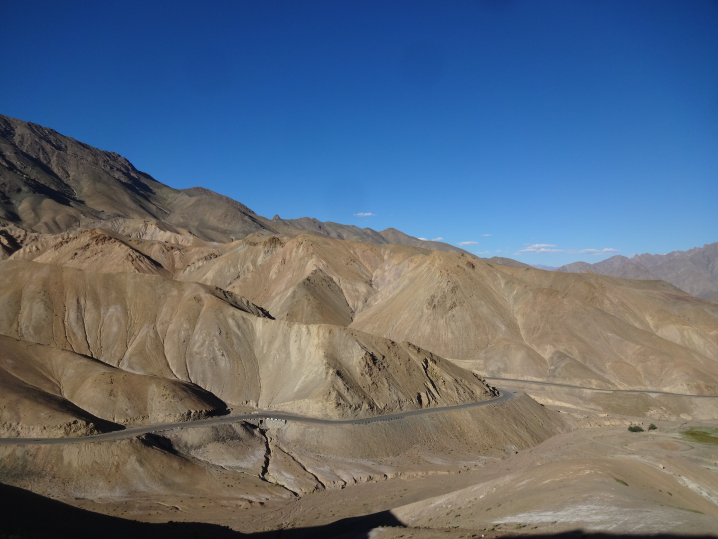
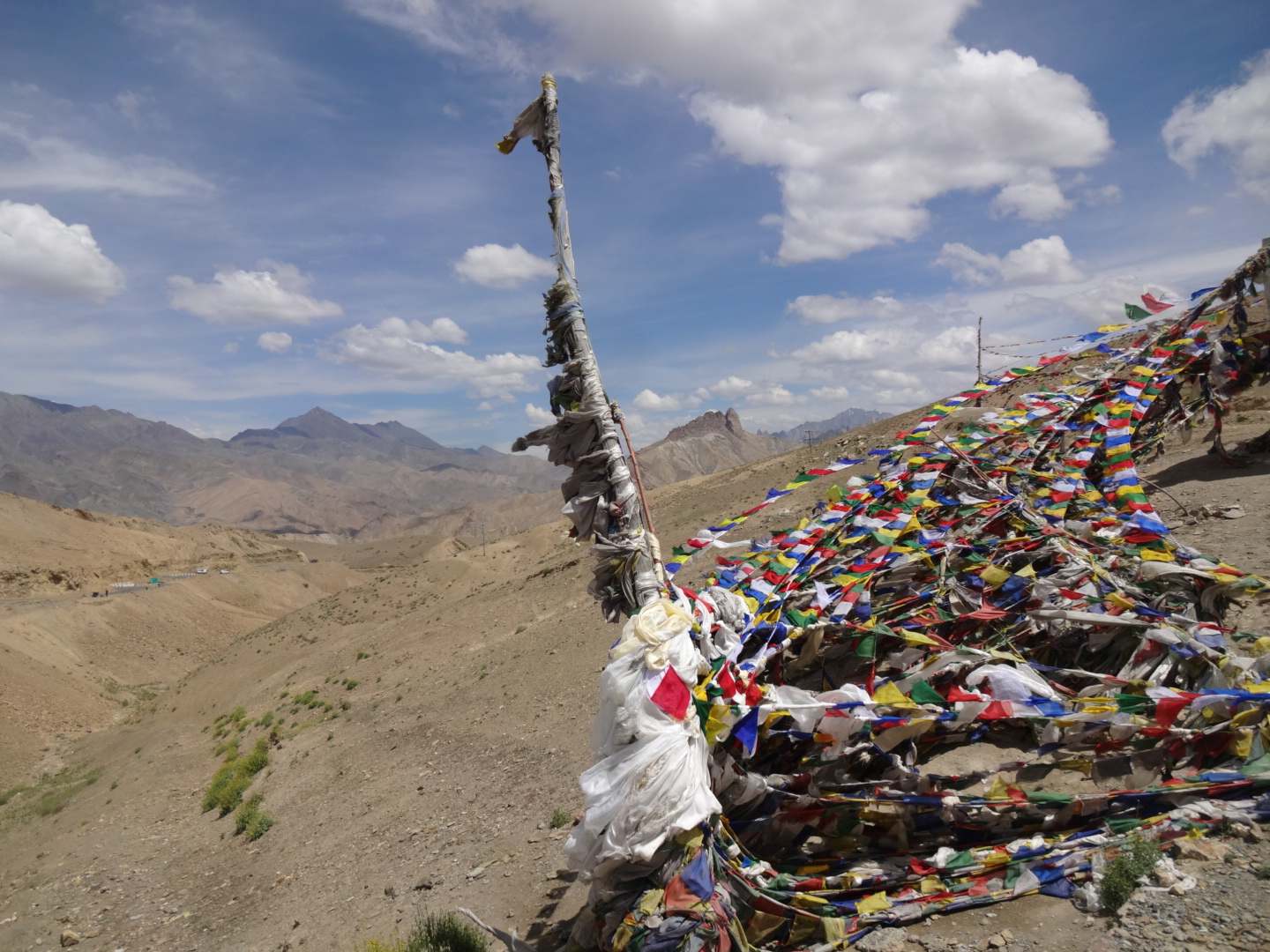
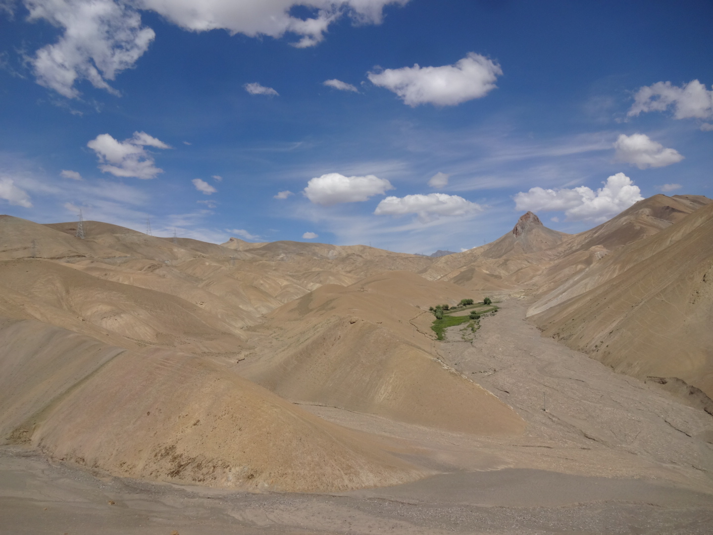
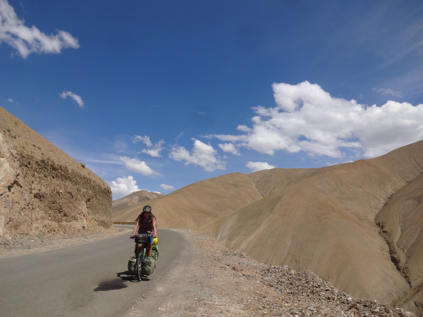
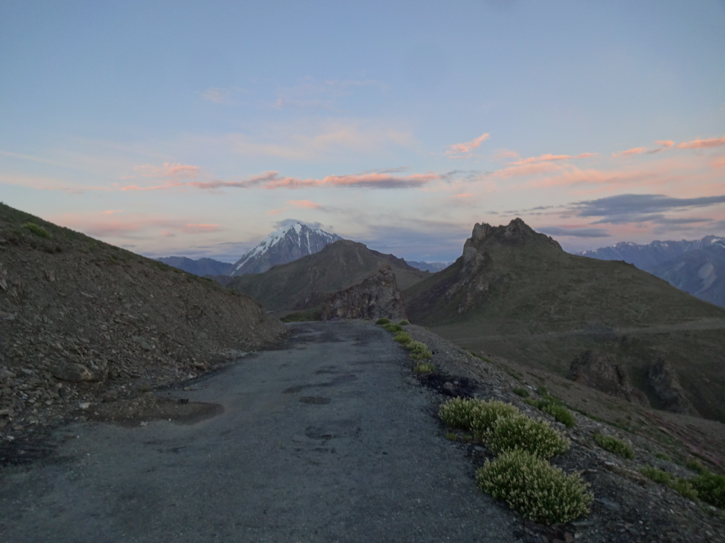
***** Ladakh (July 2016)
i got two consecutive one-week-permits for ladakh from “nomadic way” (on the left on the beginning of changspa road), but they needed a second day to get the second permit. officially, you need to be in a group of 2 foreigners. but the travel agent can add you to another group. as it is unlikely that people apply for a permit one week in advance, the agent just took one guy from the first permit and added him also to the second one. in my first week, i was allowed to visit the following places:
khardong, khalsar, trith upto panamik, disket, hunder, turtuk, pachathang, tyakshi in nubra sub-division
upshi, tsomoriri/korzok in nyoma sub-division
upshi, dipling, puga, tsomoriri/korzok in nymoa sub-division
kharu, changla, durbuk, tangtse, lukhung, spangmik, man-merag(pangong lake) in nyoma sub-division
upshi, chumathang, mahe, loma bend in nyoma division.
for the second permit, the agent only applied for
khardong, khalsar, trith upto panamik, disket, hunder, turtuk, pachathang, tyakshi in nubra sub-division
kharu, changla, durbuk, tangtse, lukhung, spangmik, man-merag(pangong lake) in nyoma sub-division.
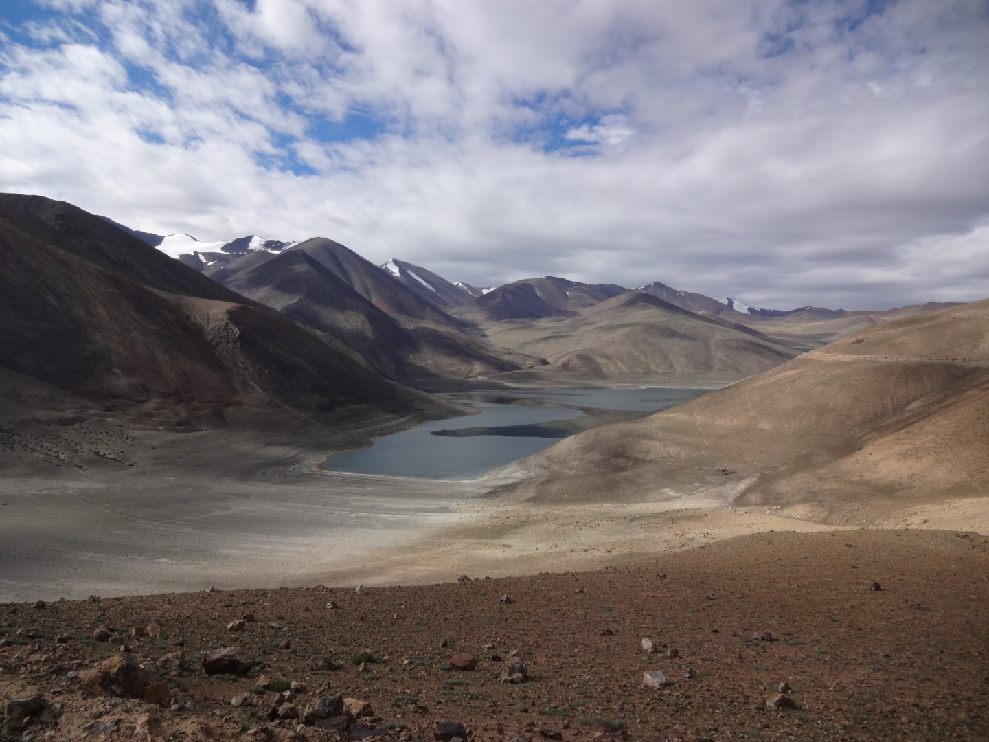
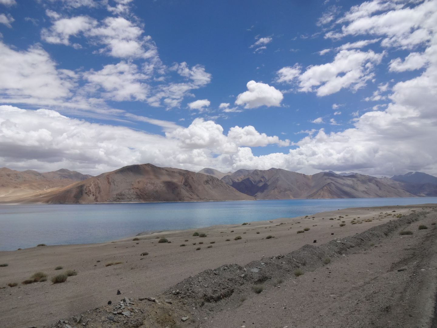
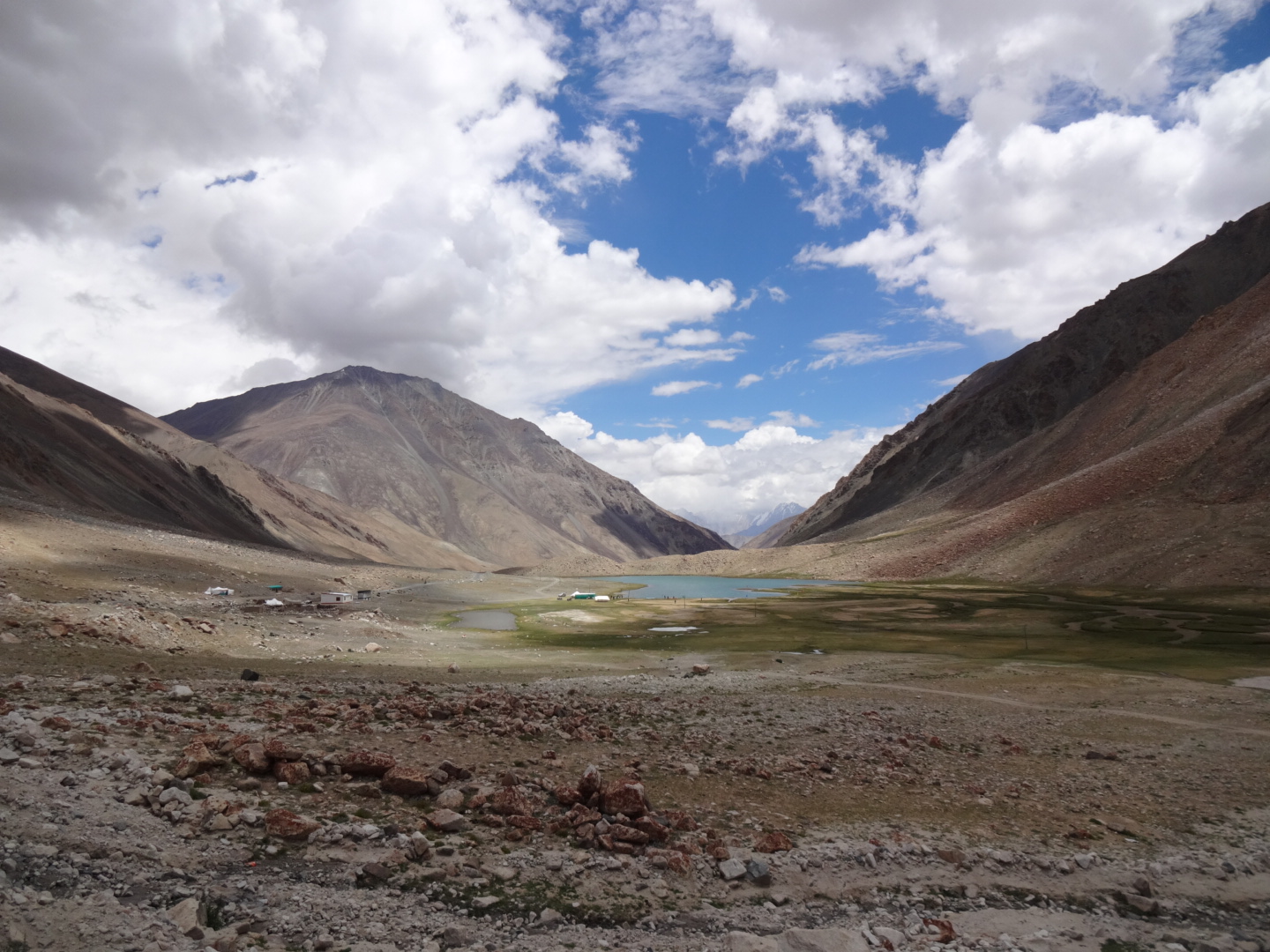
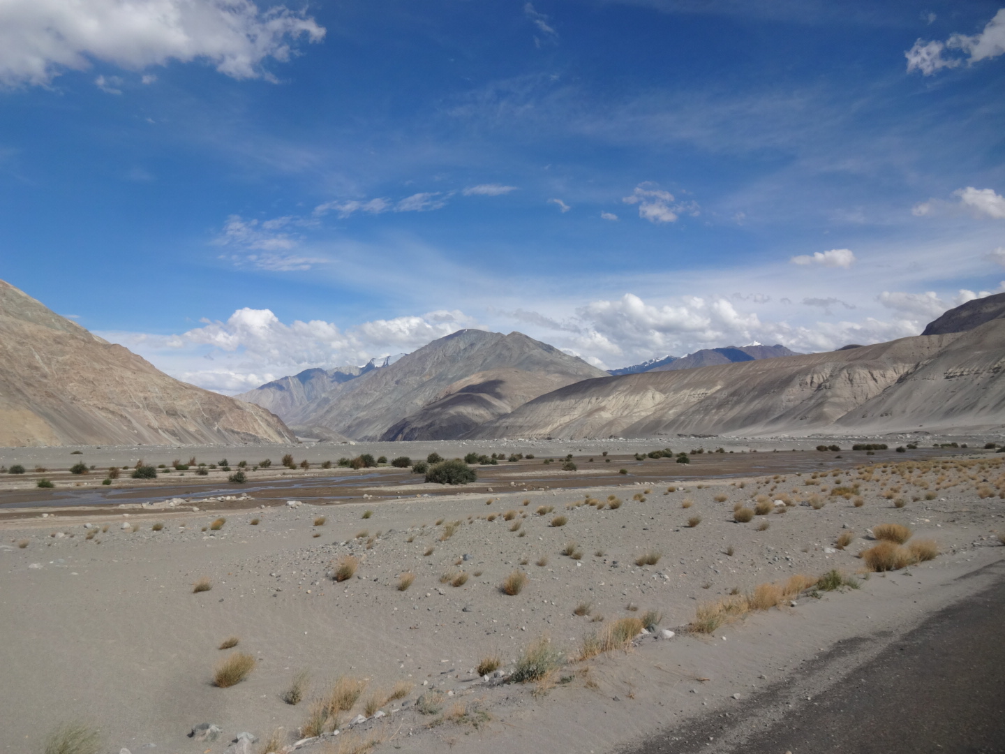
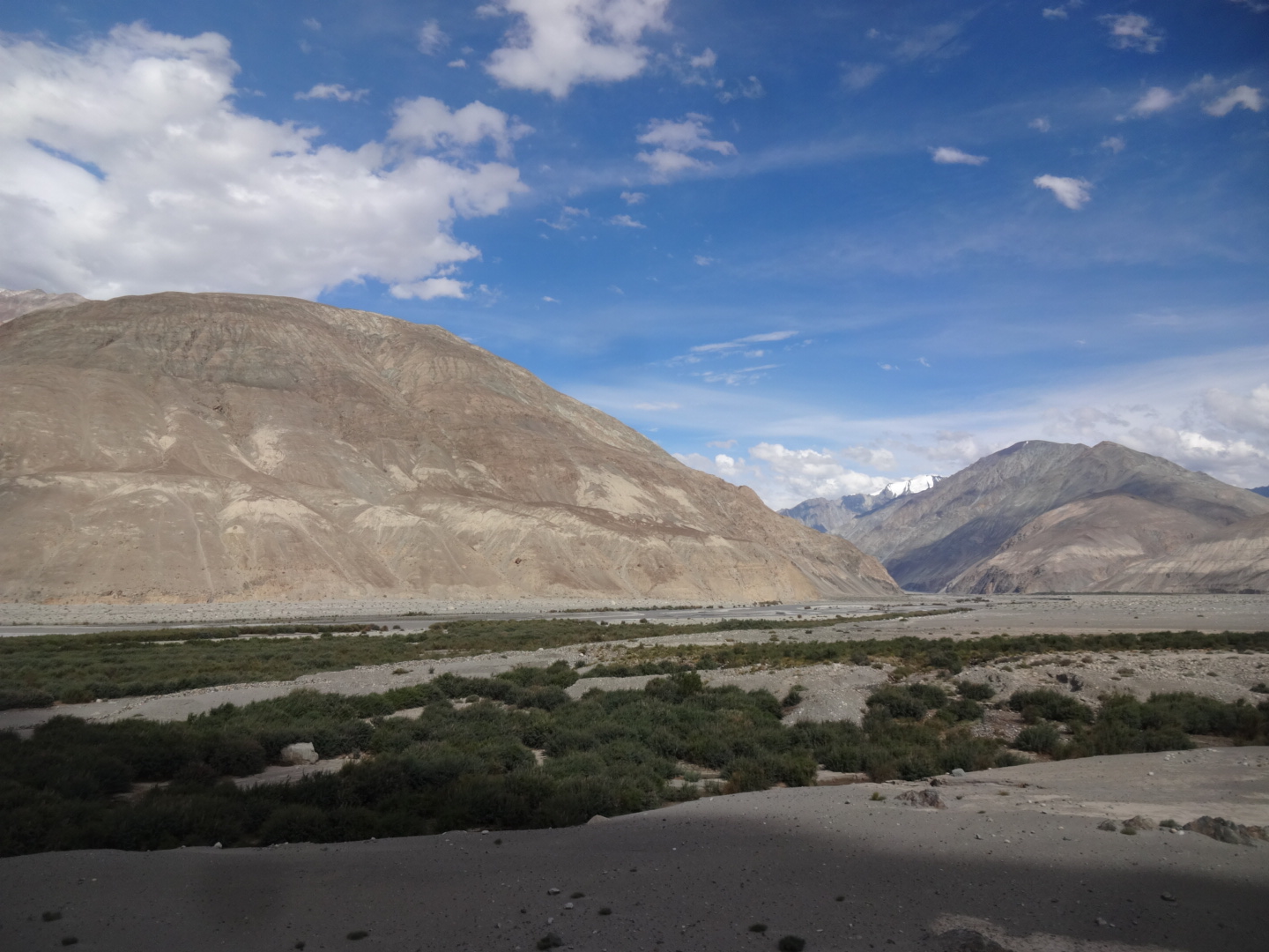
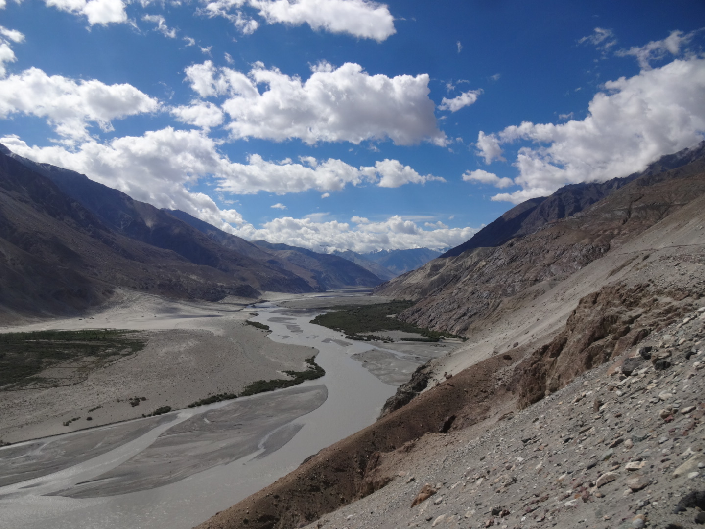
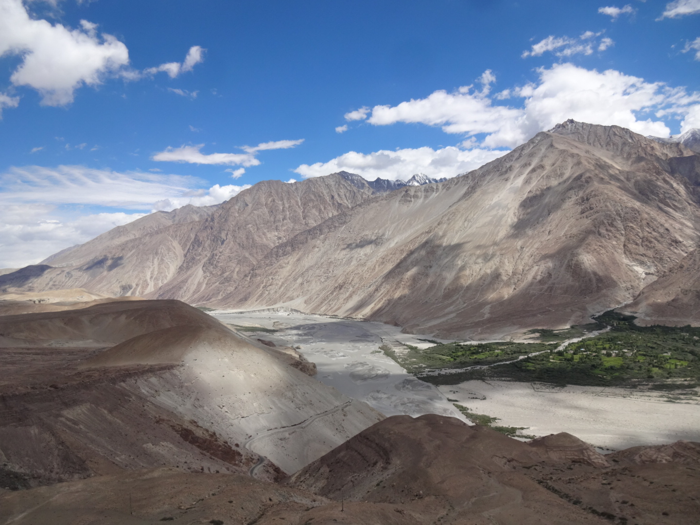
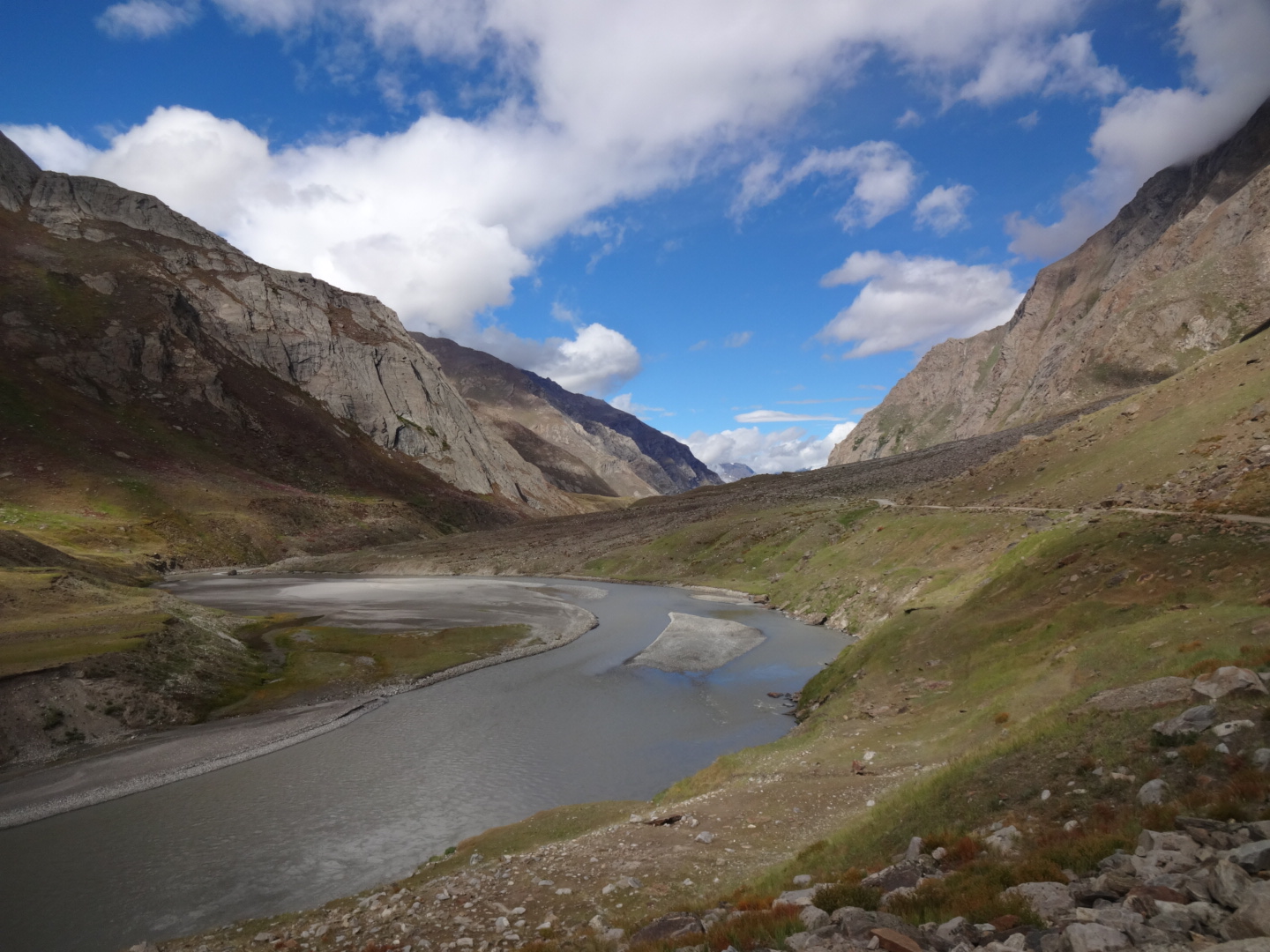
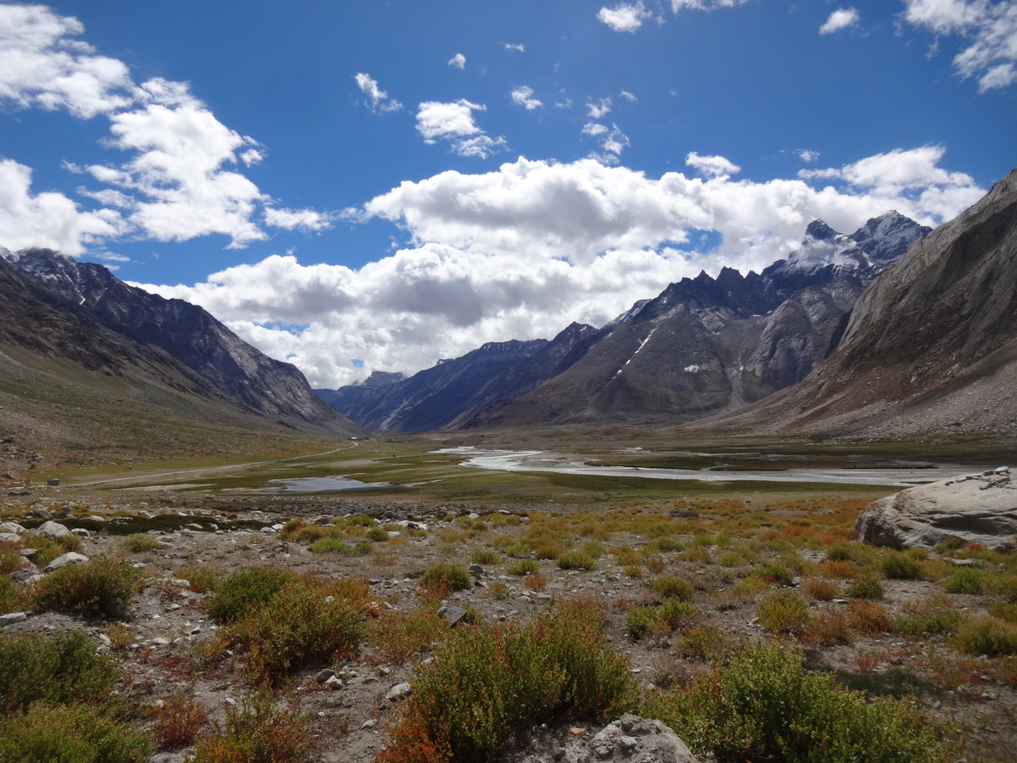
Leh – Upshi – Mahe – Tso Moriri
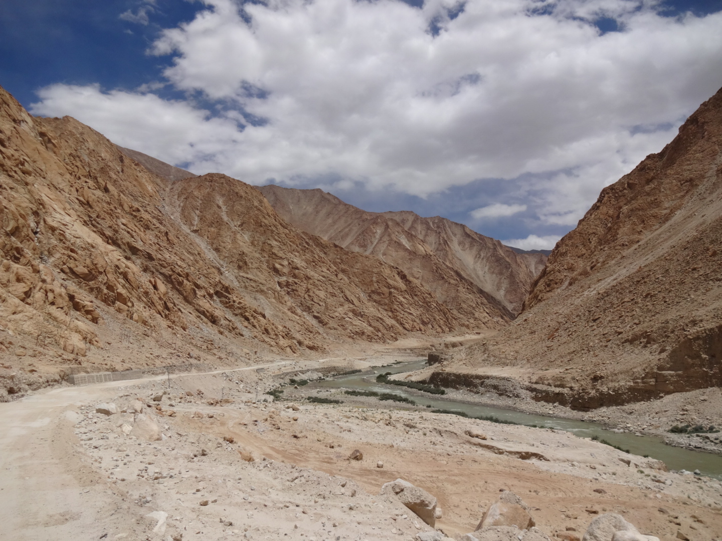
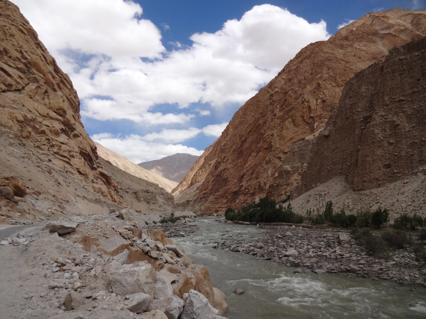
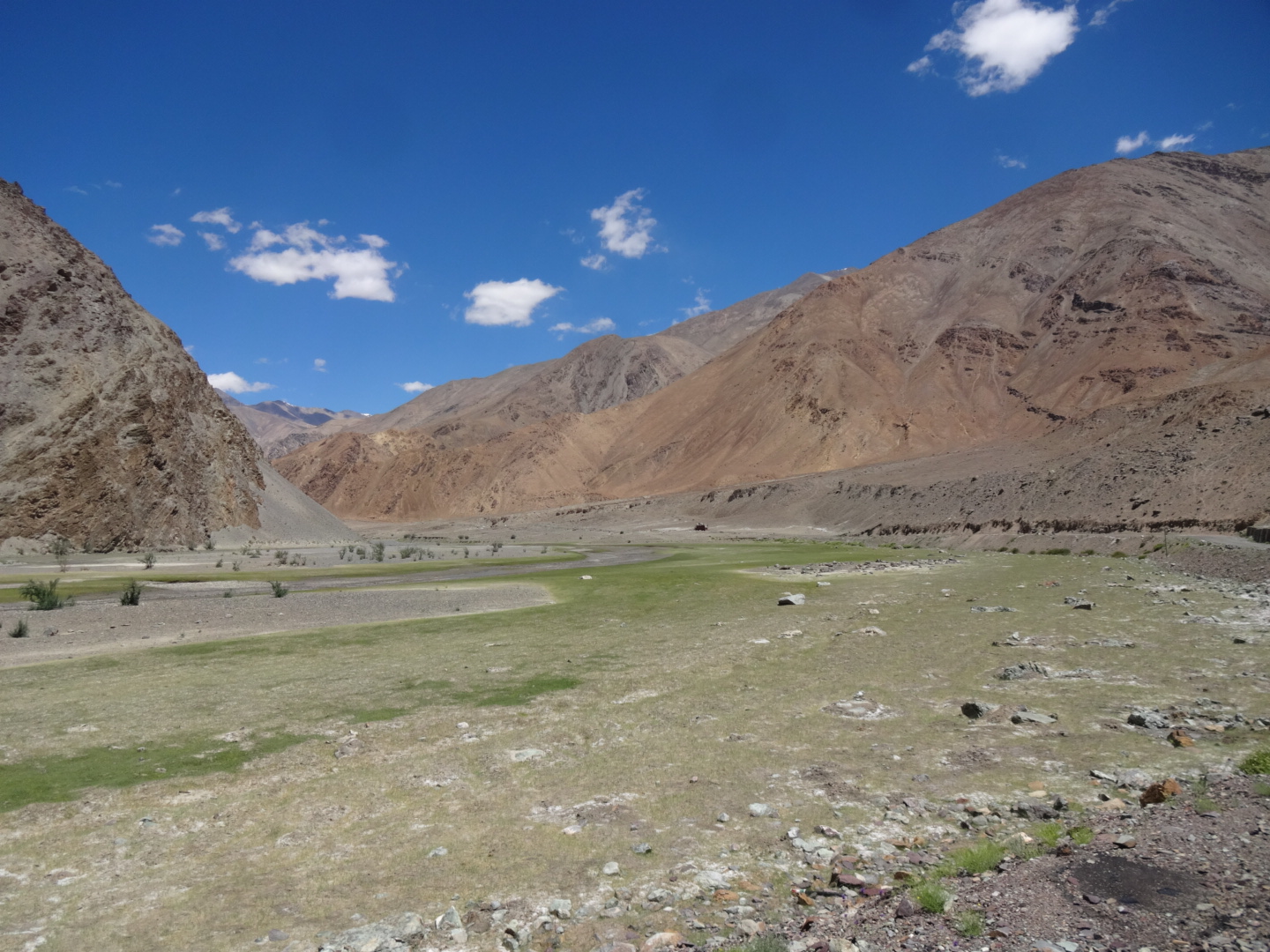
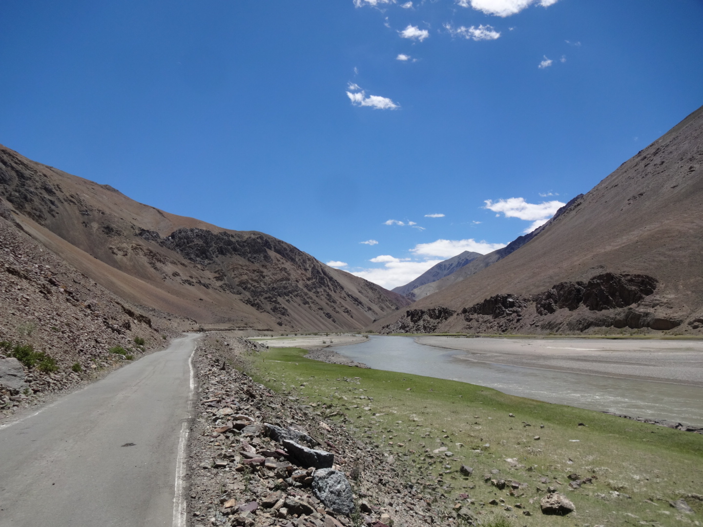
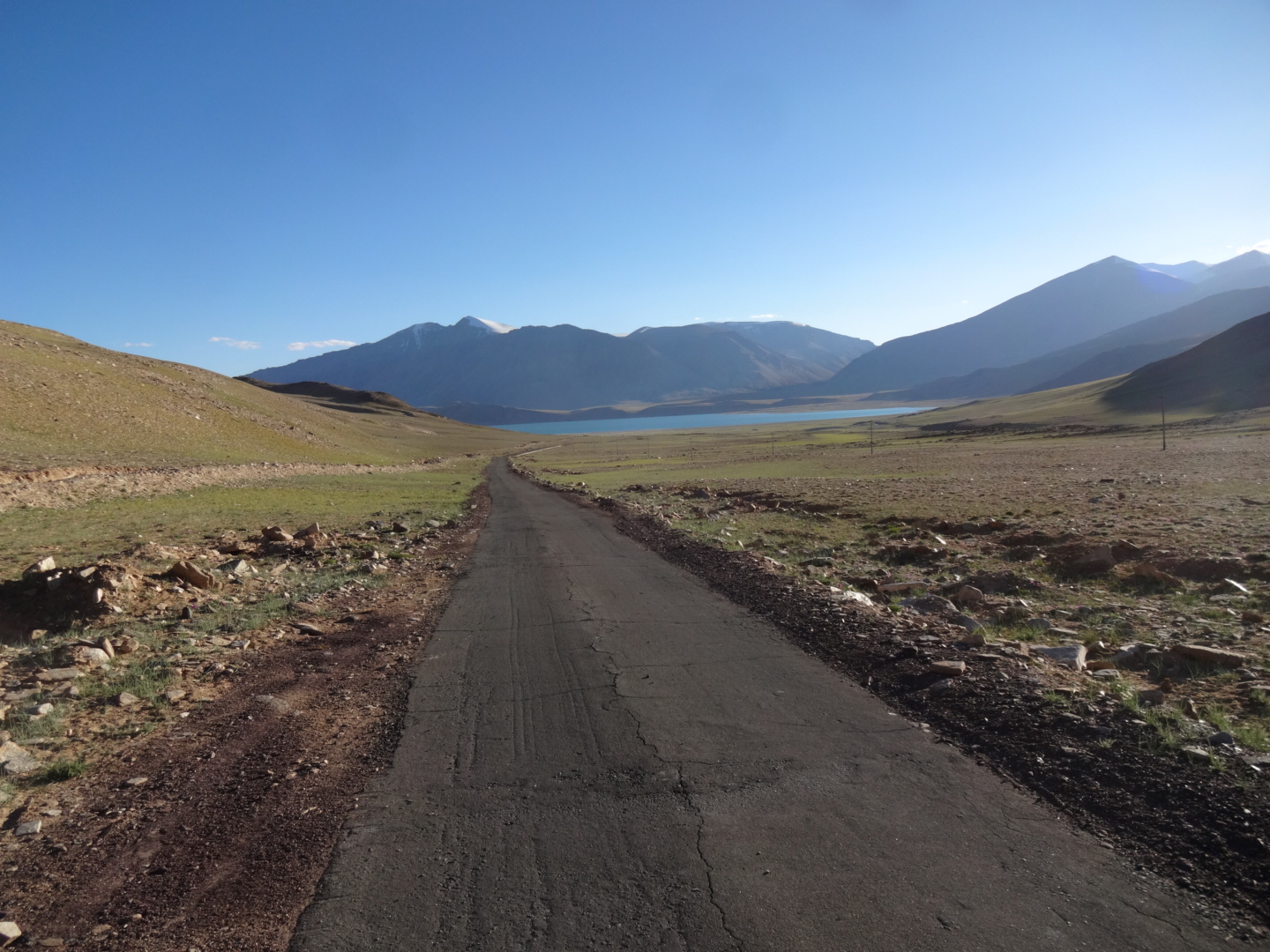
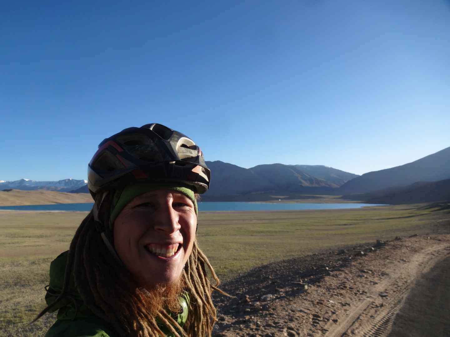
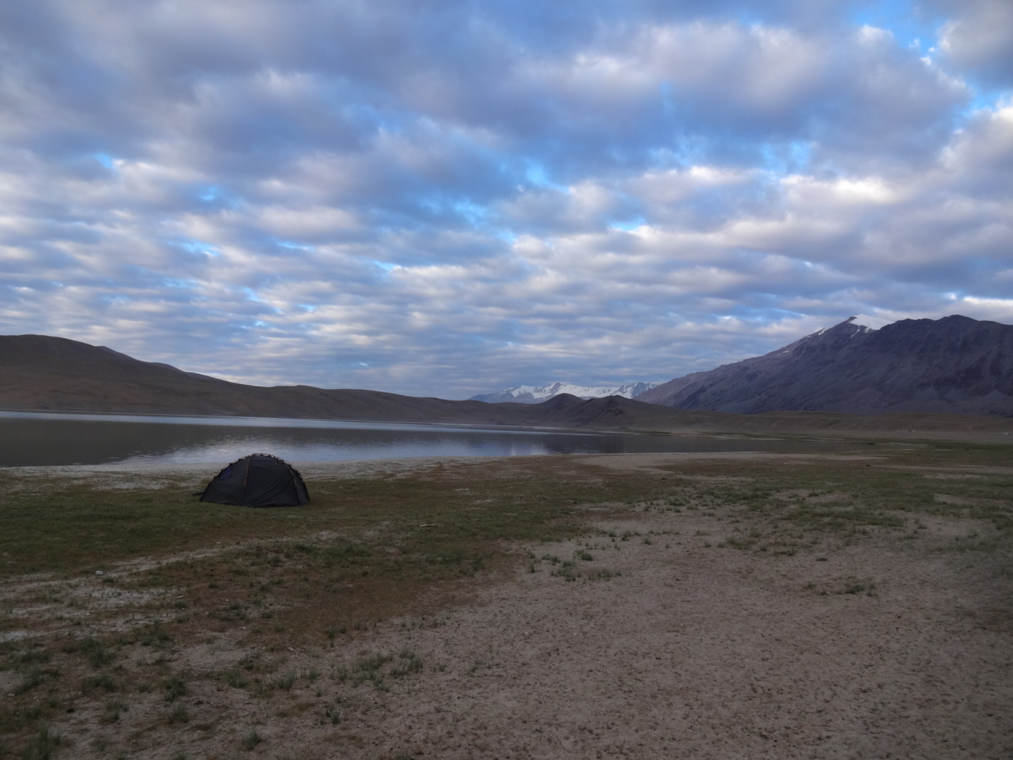
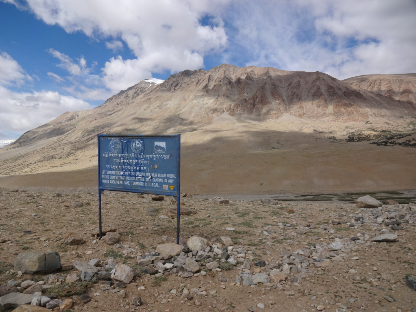
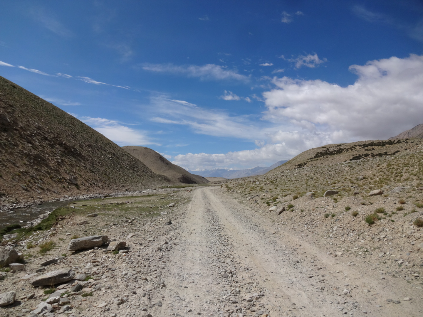
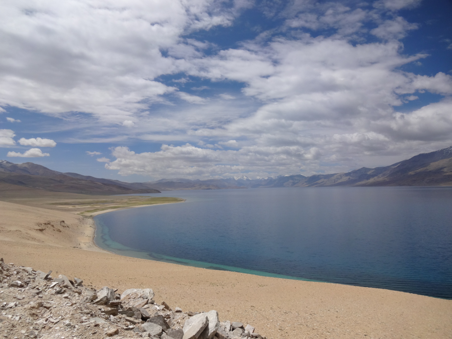
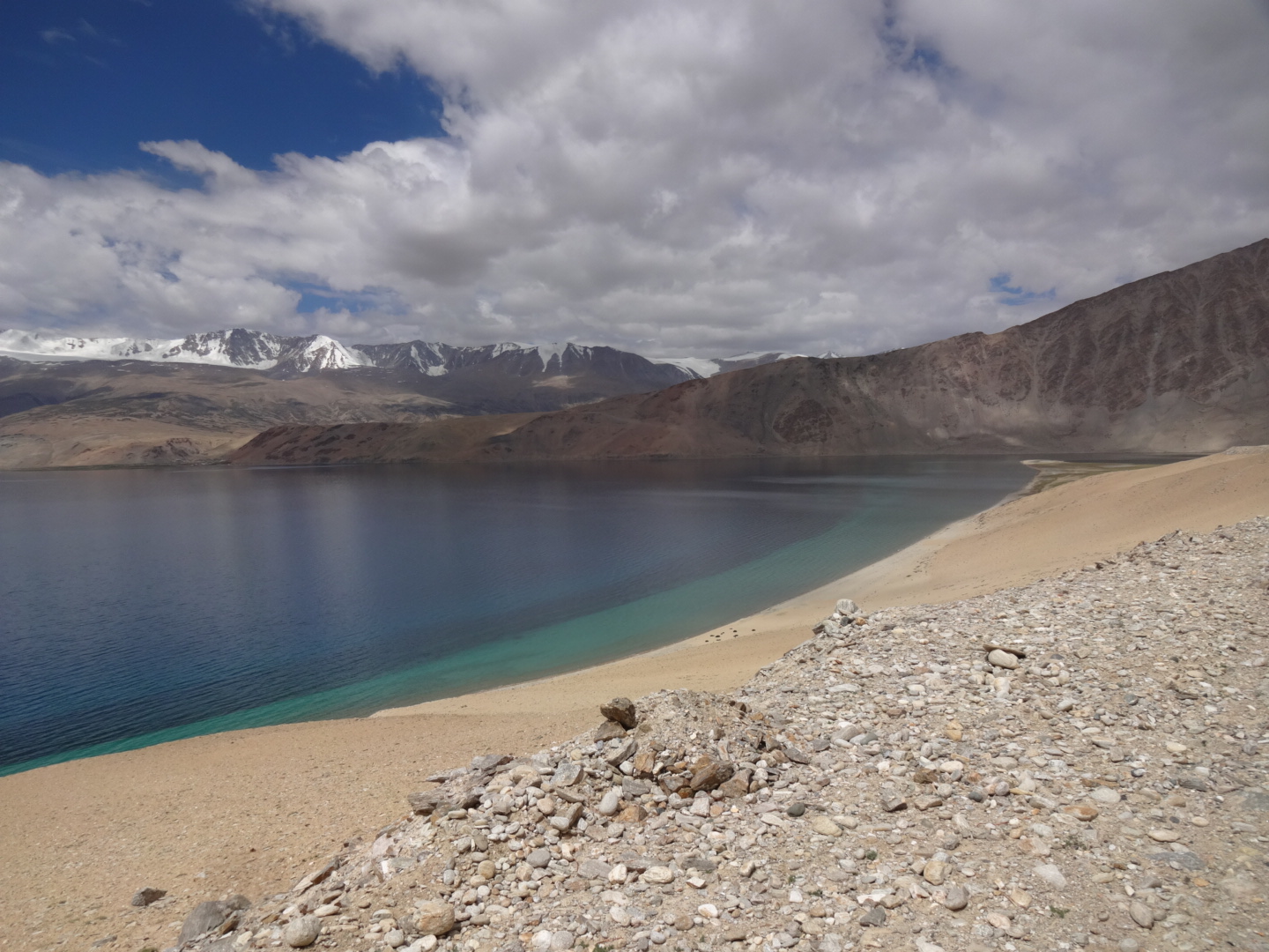
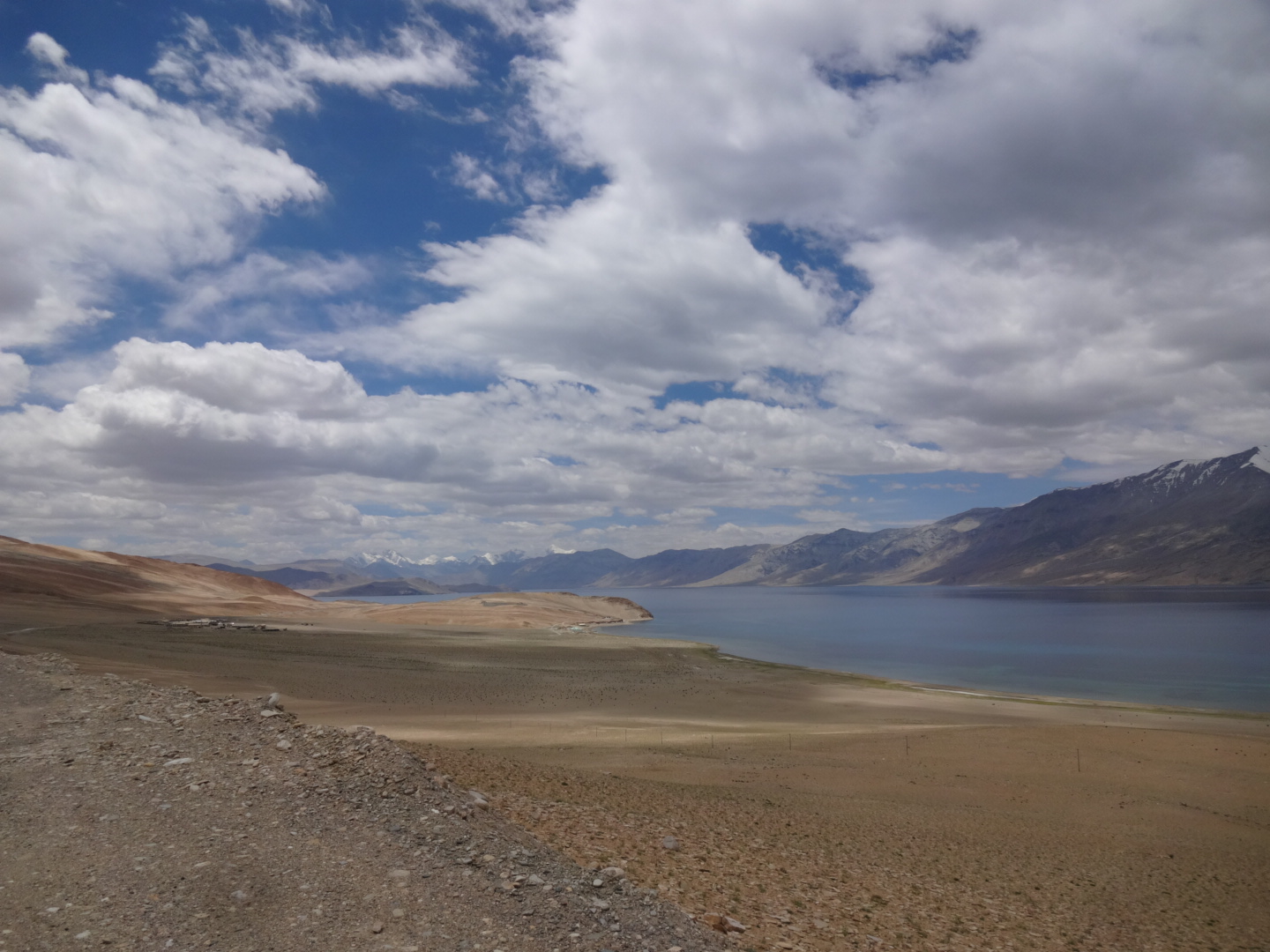
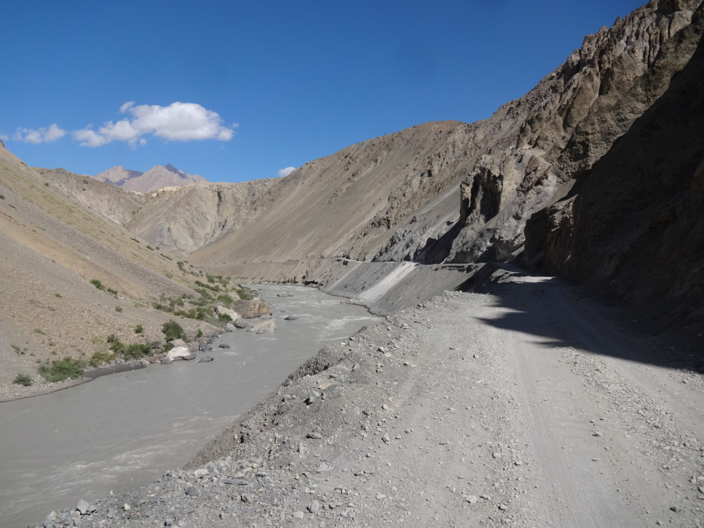
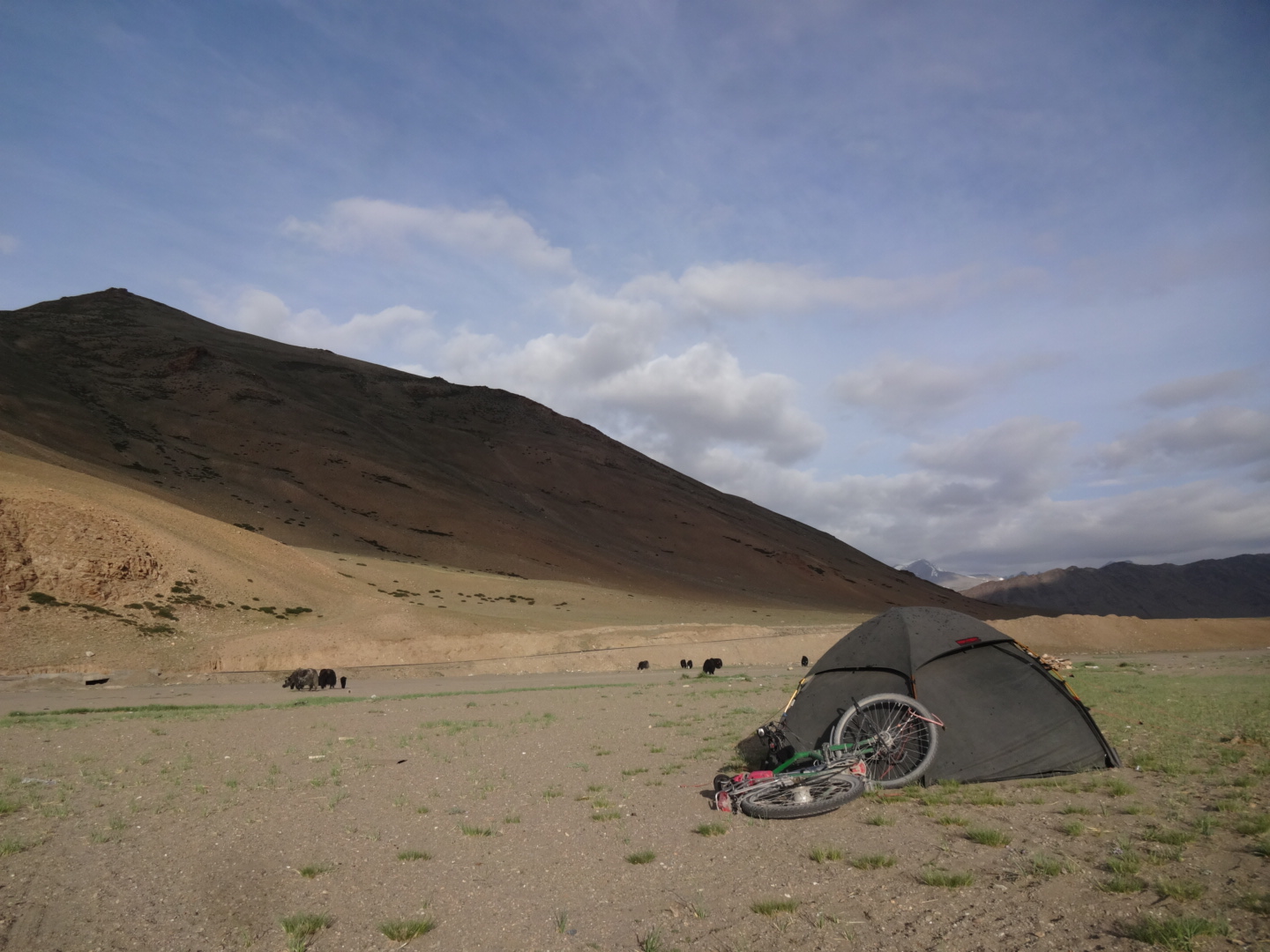
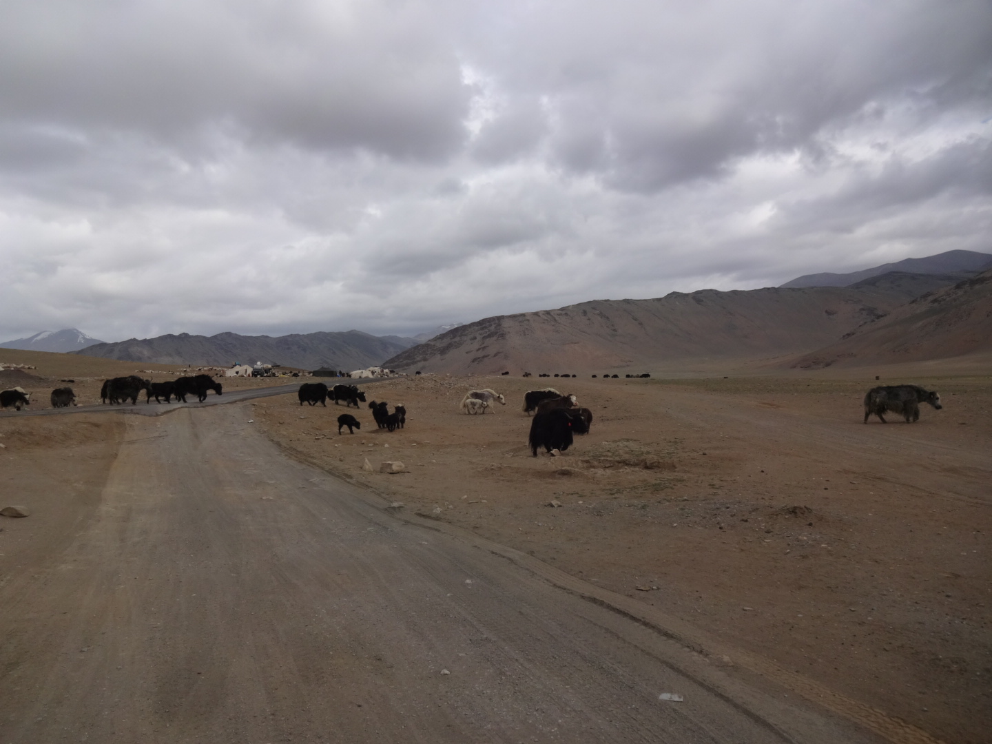
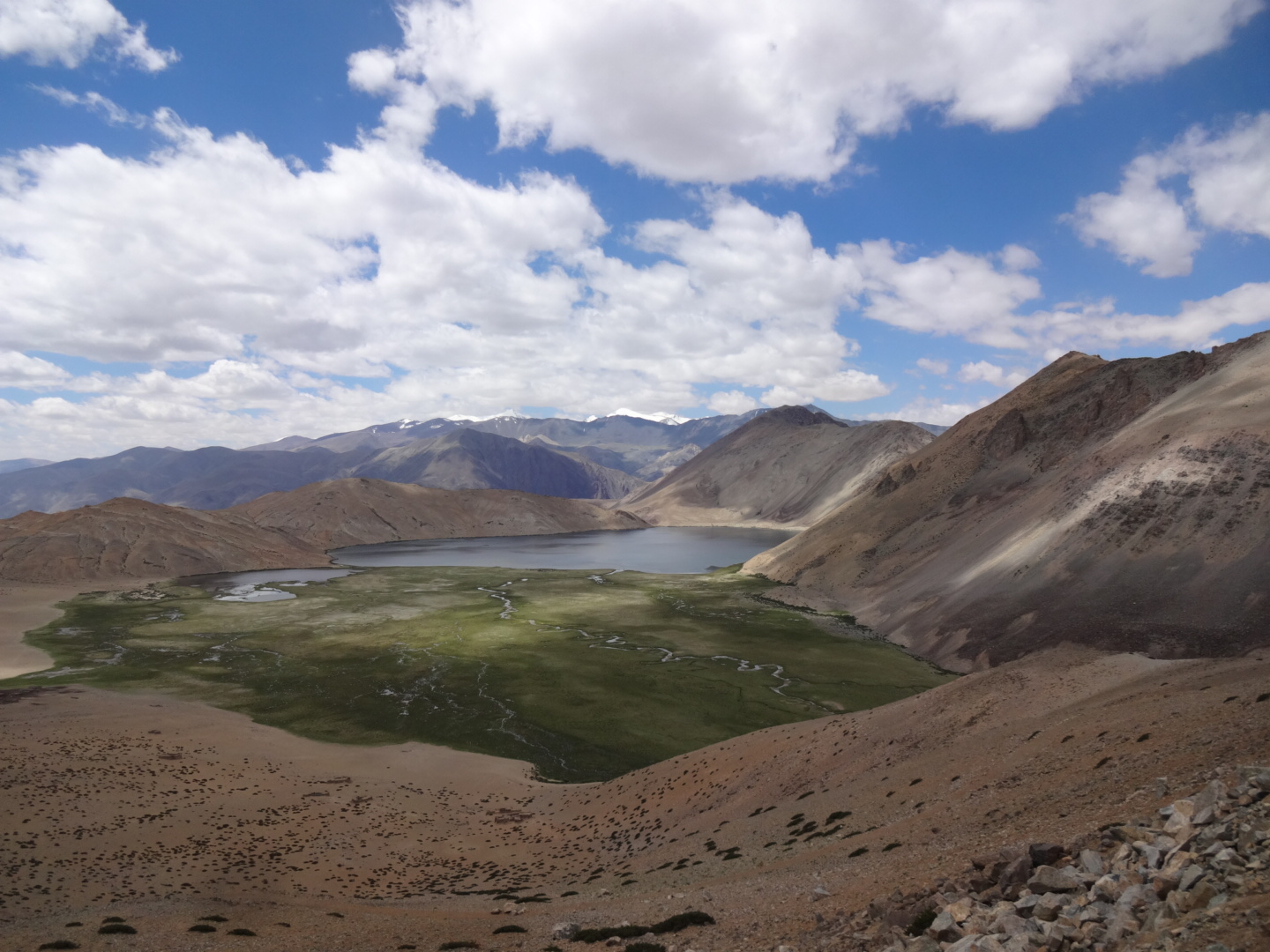
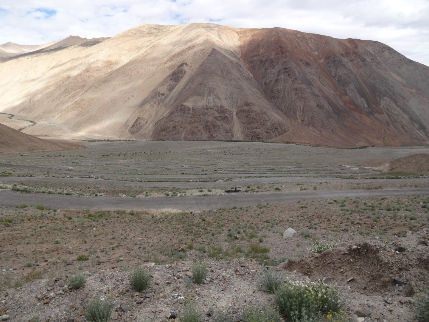
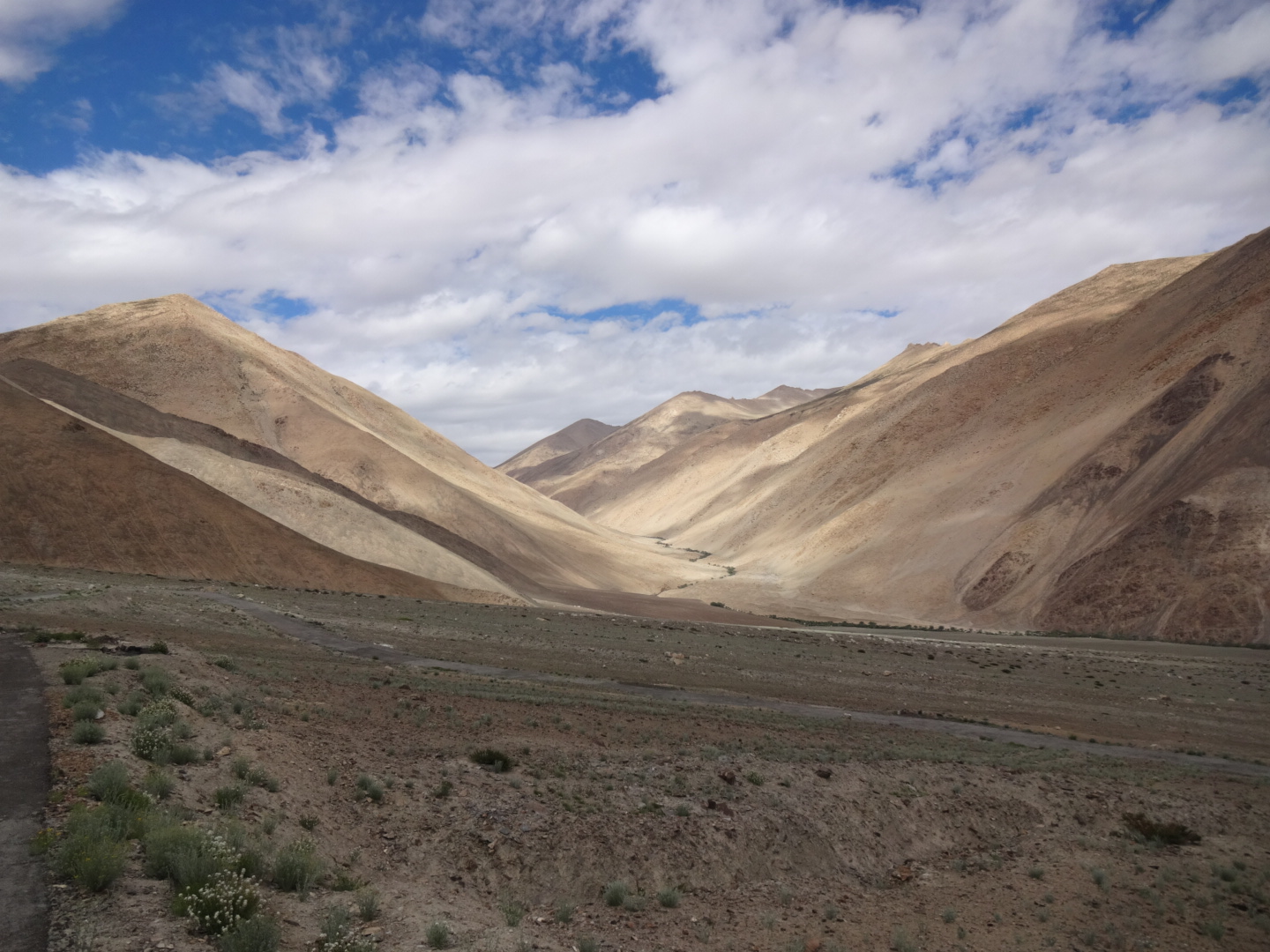
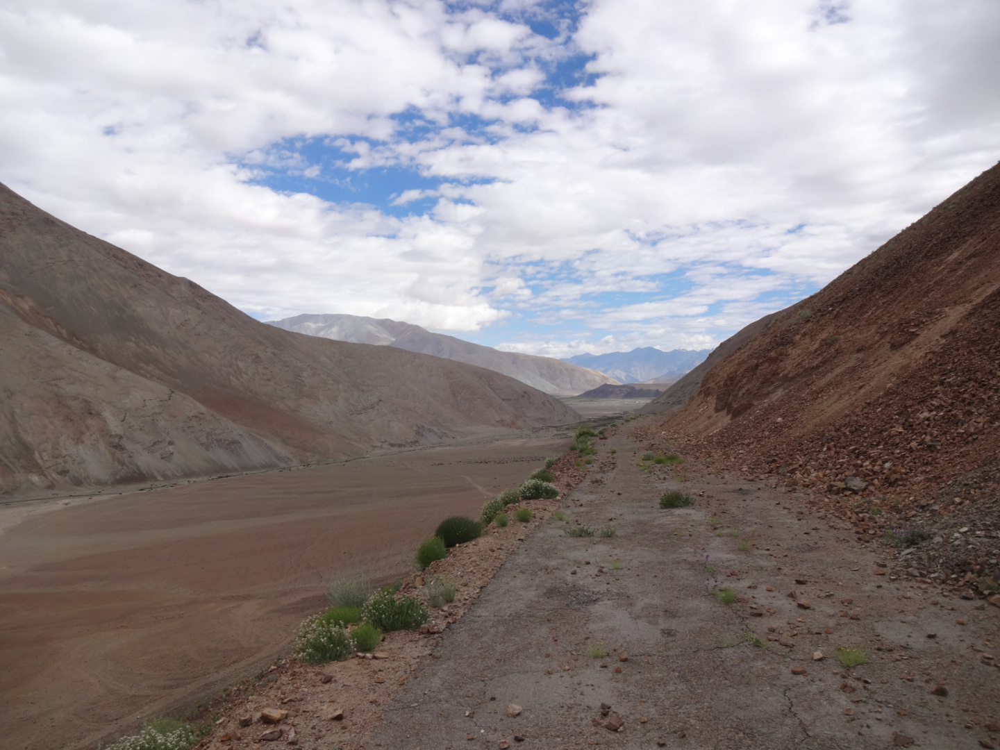
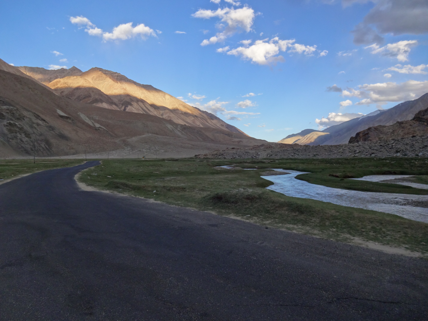
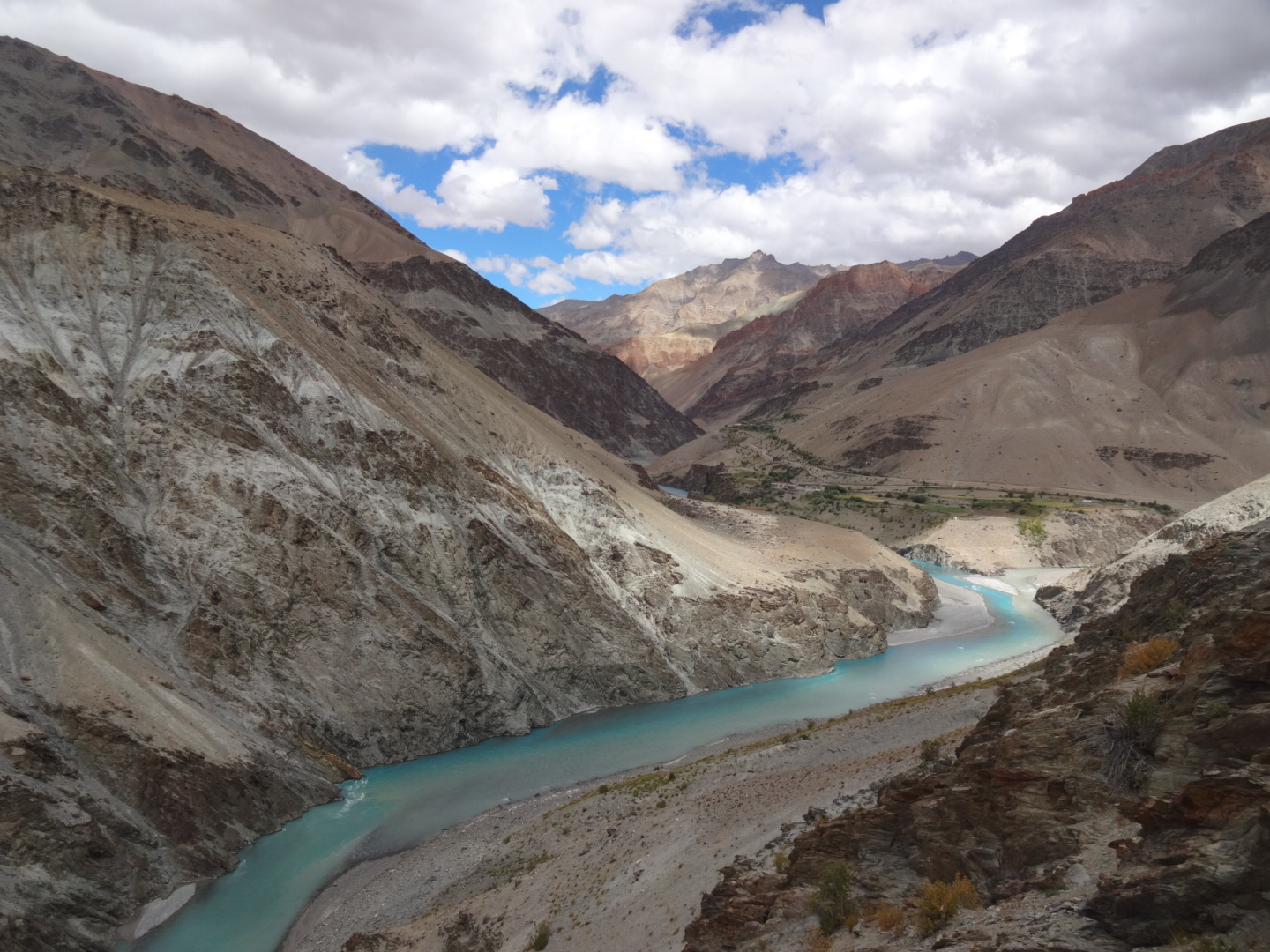
on my way to tso moriri, the first checkpoint was in upshi. the officer wanted to know about the other guys on the permit as i arrived alone, i just told him that they would come later. the first 10km after upshi are good tarmac. then i had 25km of bumpy dirtroad with a lot of washboard(s) and strong headwind. checkpoint at mahe bridge, no questions were asked about the other guys. cheap thali (50rs) at mahe bridge. road to namshang la (4859m)(sometimes also called nusgur la) was good. brackish water in kyagar tso. road down to tso moriri was rough. 8km before karzok, there is a bridge (33.033N, 78.275E) leading to the eastern side of the lake. unfortunately, there is a military camp and a police checkpoint after 15km and they don’t let (any) civilians pass. therefore, i had to go all the way back to mahe (or you could go from sumdho via polongko la to tso kar and the manali-leh-highway).
Mahe – Kaksang La – Chushul – Tangtse
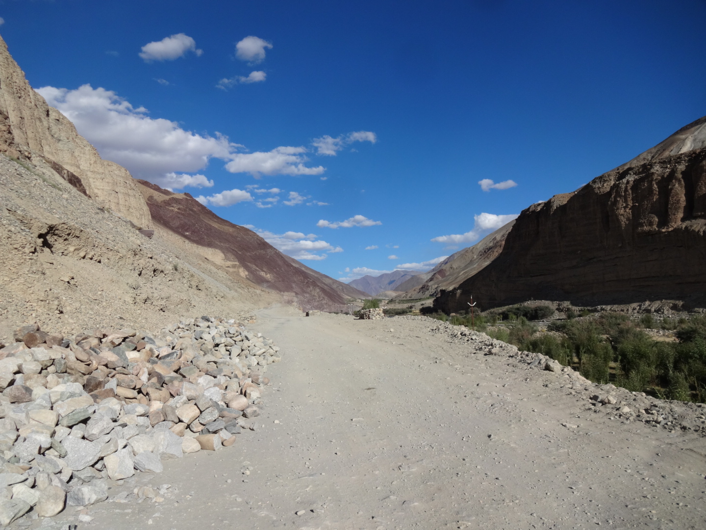
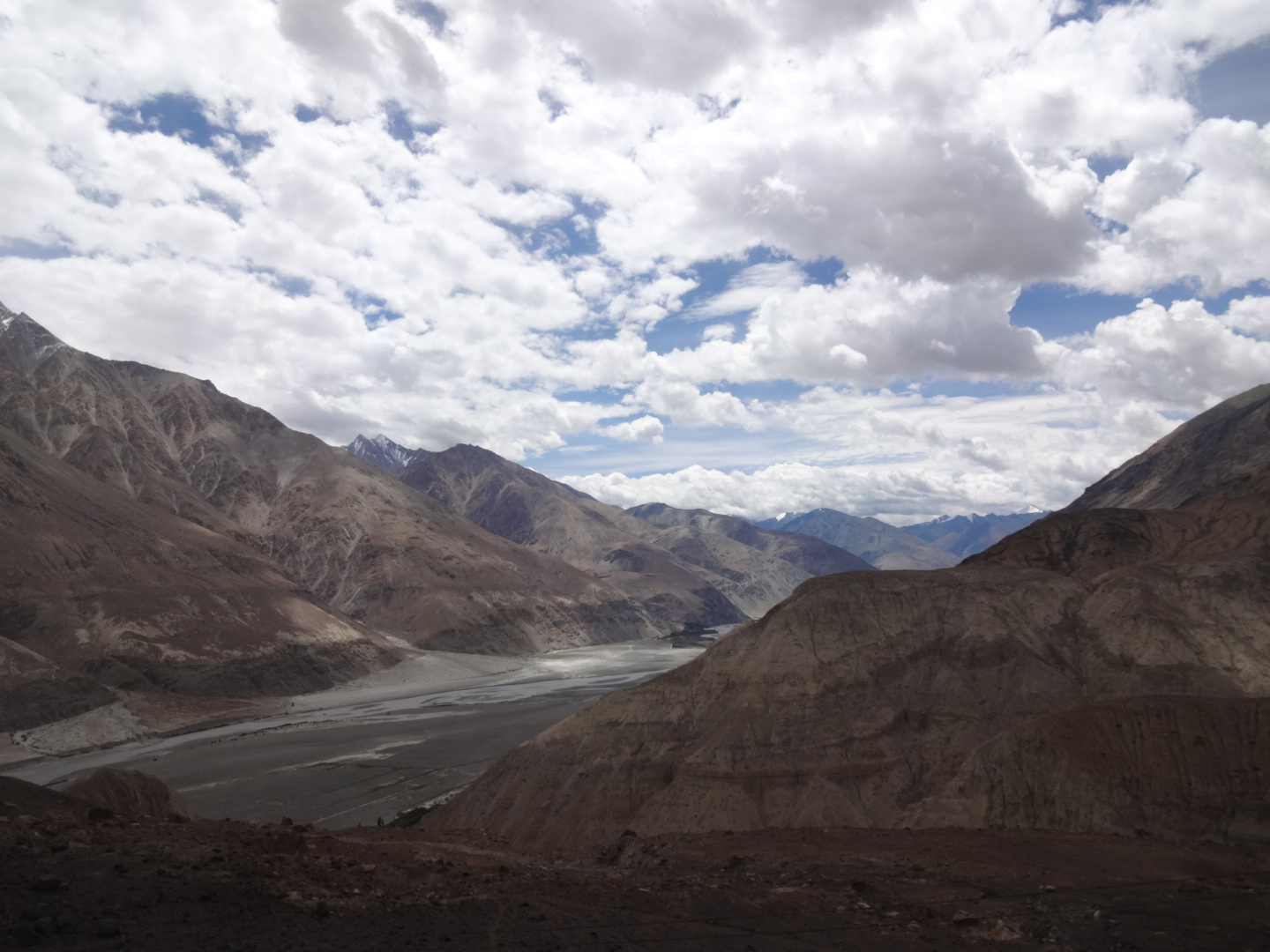
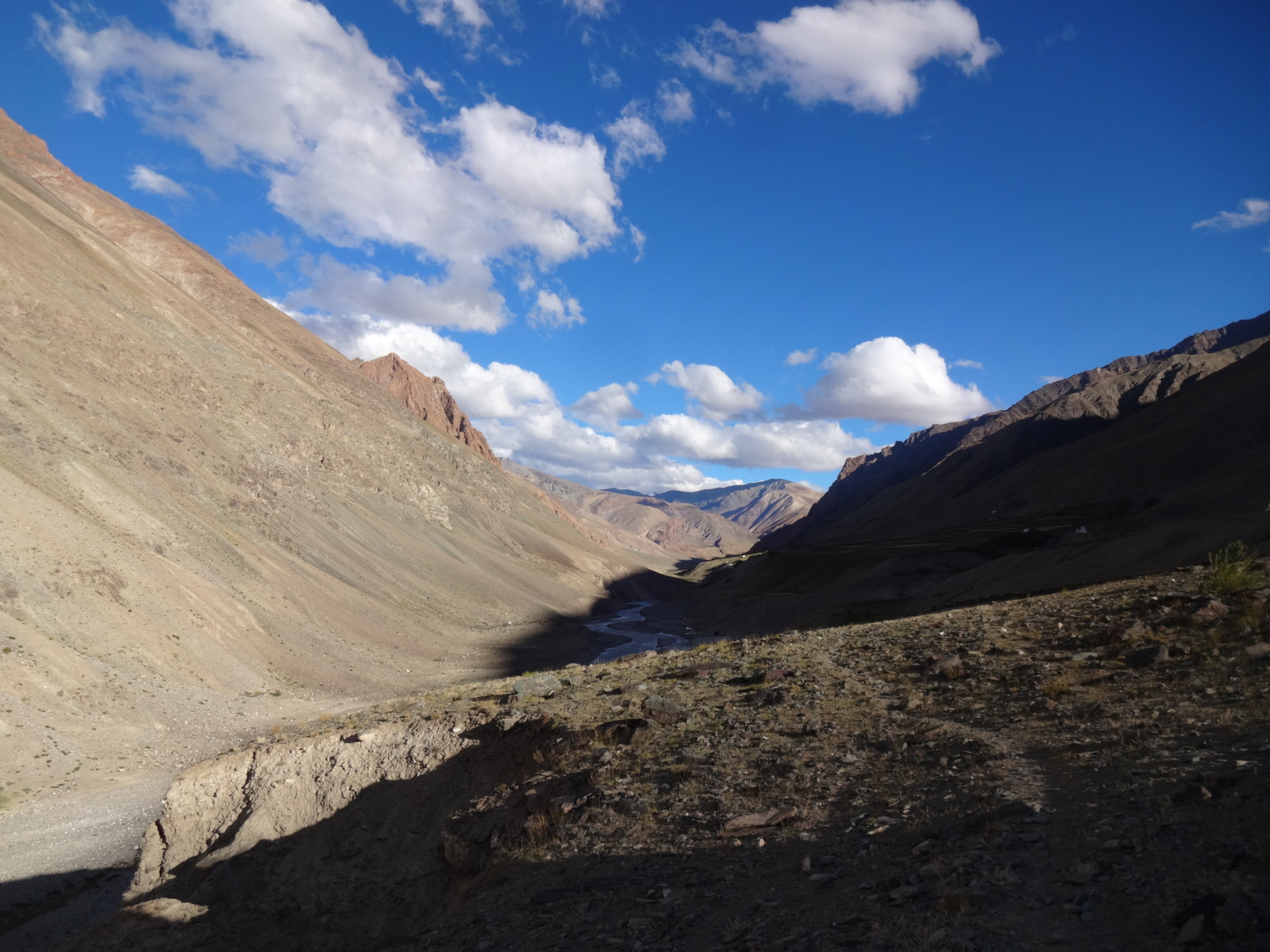
back in mahe bridge, the friendly police man wanted to know my plans. i asked him in very bad english (so i always could say it was a missunderstanding when i arrive in a place where i am not allowed to be) if i could go from mahe to tangtse via loma bend. he was not sure about that, but actually, i didn’t intend to go there, so i decided to ask the real question: is it possible to go from mahe via kaksang la to tangtse? after a minute, he said “there is no checkpoint, so you can go there, no problem”. nonetheless, i am pretty sure that foreigners are officially not allowed around chushul.
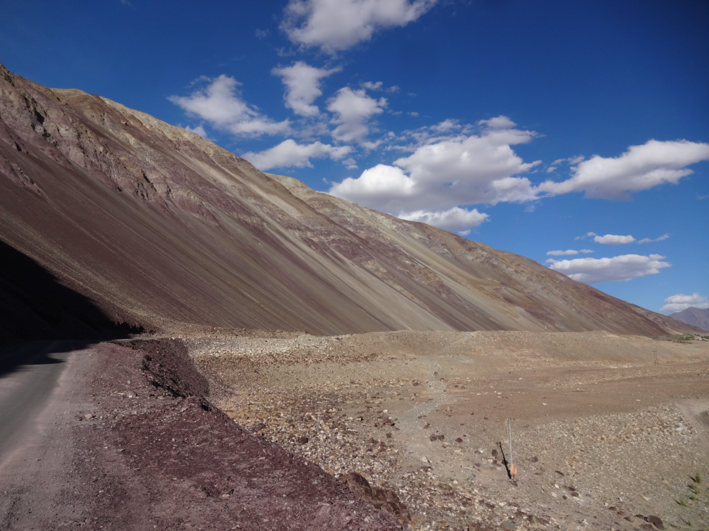
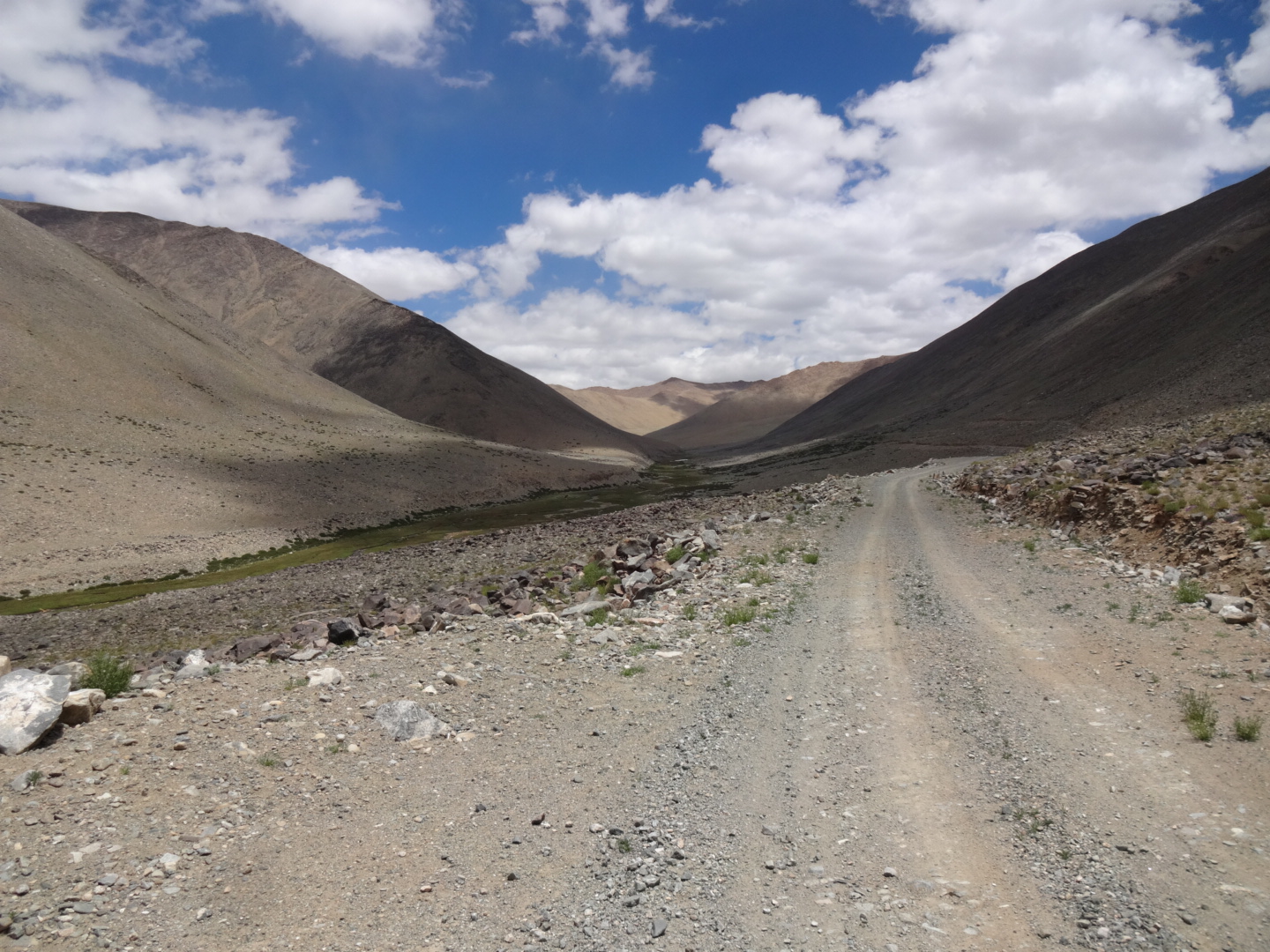
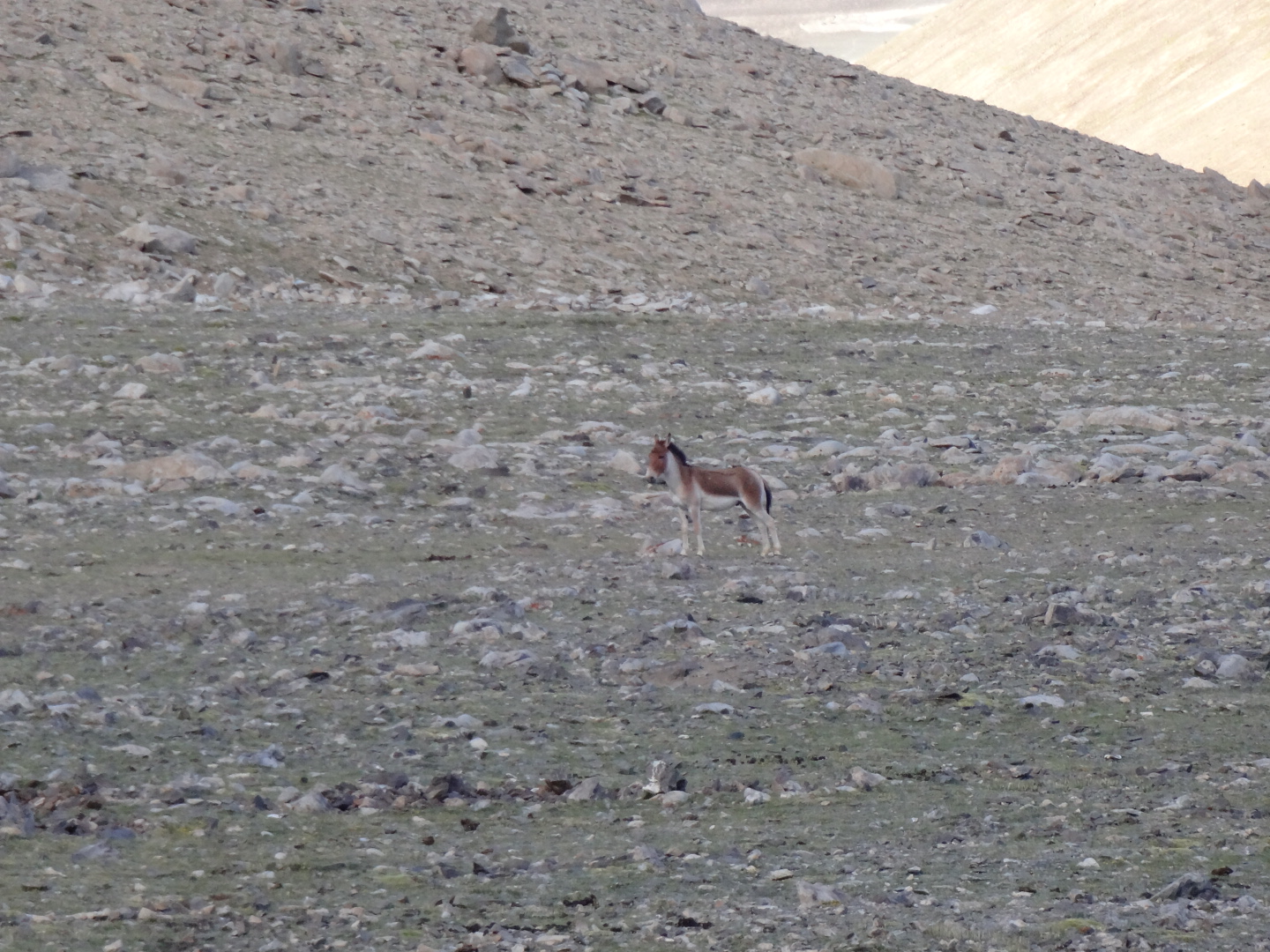
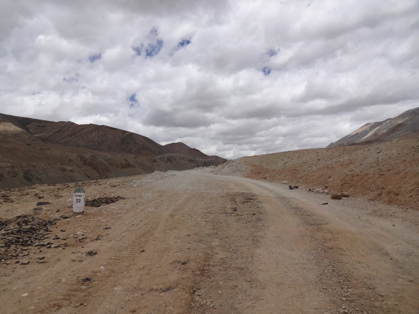
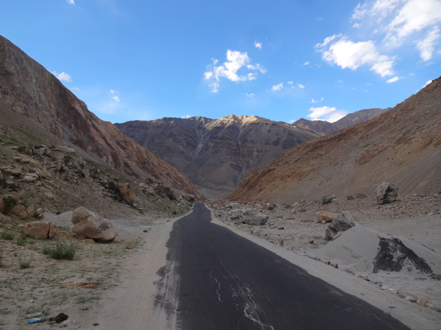
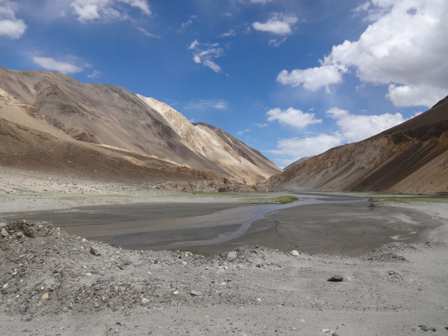
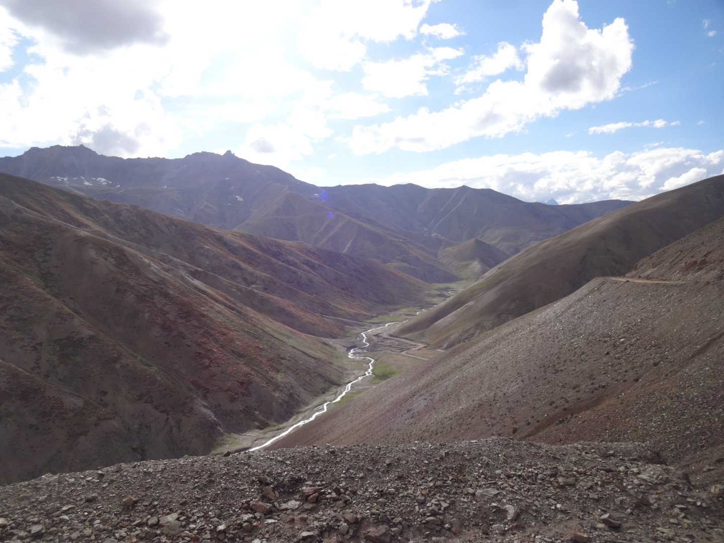
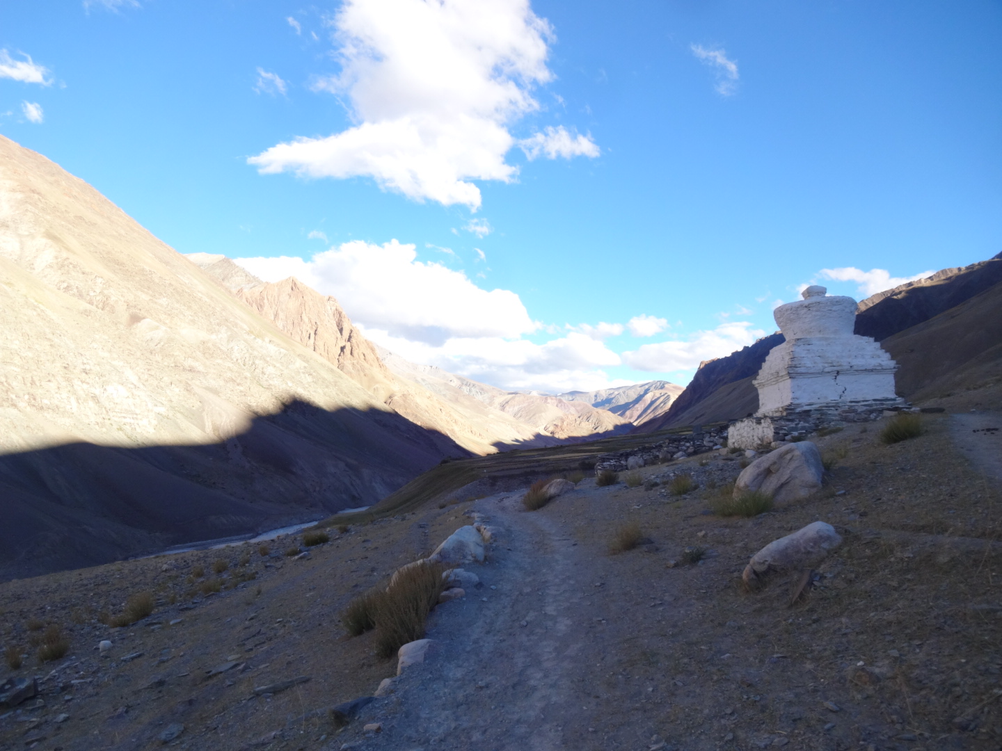
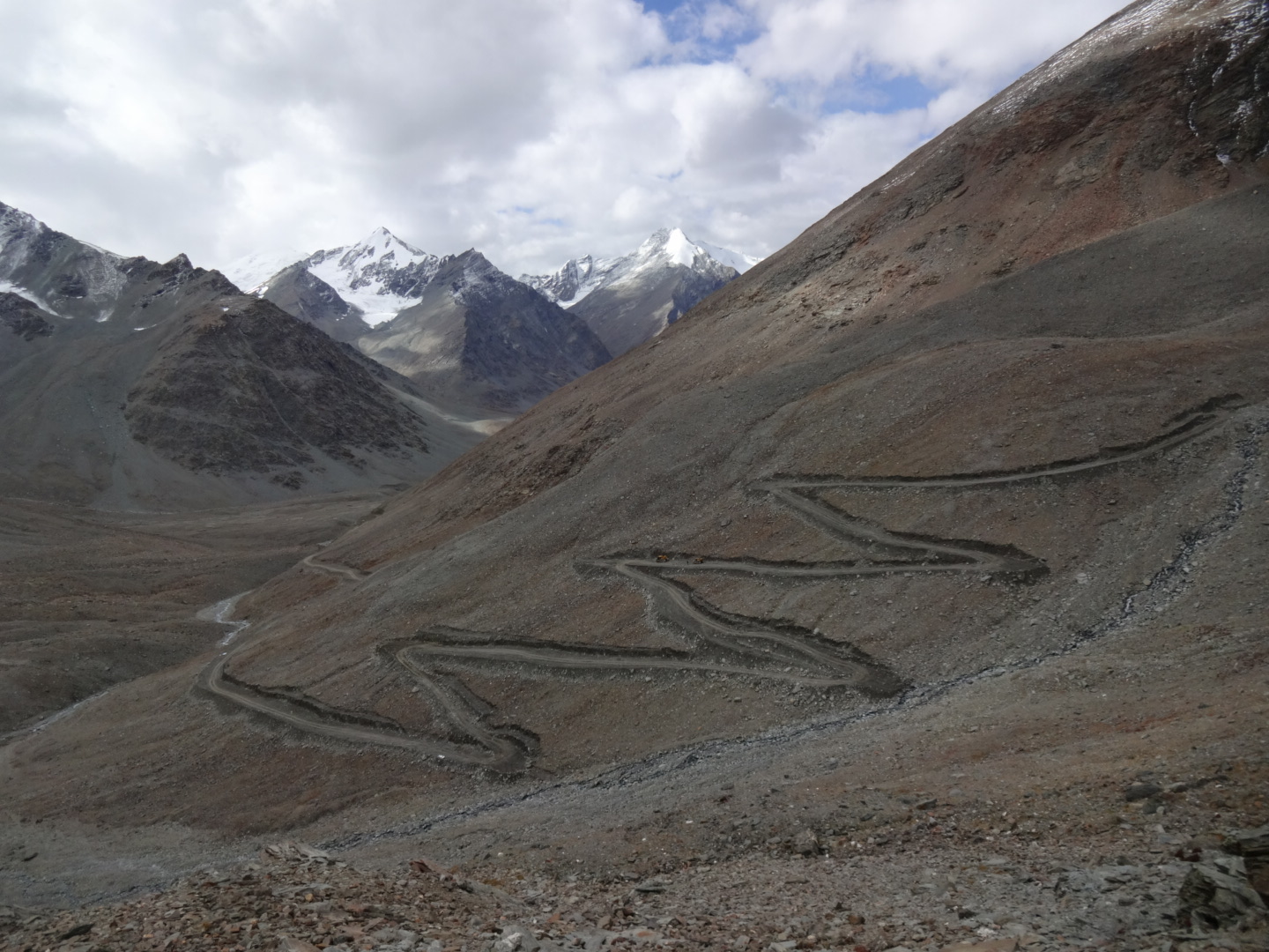
from mahe, the paved road goes all the way up hor la (4936m), the first “pass” on the way to chushul. some sections were relatively steep. after hor la, the road turned into dirt road and got worse and was very rough towards kaksang la (5438m). after hor la, there is a stream parallel to the road for a long time, but maybe 200m away. but there were two big sidestreams later on. after kaksang la, the road was extremely rough, so i decided to cycle next to the road on the gras. i couldn’t find water on that side of the pass, although i saw some wild horses. after descending to approx. 5100m, the road is a little up and down for a while. then you reach satatho la (5080m)(maybe called thato la), another “pass”, before it goes down to chushul. the first part of that descent was a good dirt road, later on, the road was even paved. but after a while, the paved road was littered with stones. there is an army camp before chushul, but nobody saw or cared about me. as i was carrying enough food, i turned left over the bridge at 33.596N, 78.637E instead of going into the village of chushul. on the way from chushul to tangtse, there is another unpaved 5000m pass (maybe called kokang la). no water on the way to the pass when coming from chushul. but at least i could see some roadworkers there. on the plateau after that pass, the road is washboardish and i had heavy headwind. but there is a river nearby and plenty of good spots for camping. parma is probably a checkpoint (i think it was at 33.770N, 78.412E, but i’m not sure) and i guess that they send you back when you come from tangtse, but as the barrier was open and i didn’t see anybody, i just continued and nobody wanted to stop me. there was no other checkpoint between parma and tangtse (only some military camps).
on the whole journey from mahe to tangtse, i didn’t see a lot of vehicles and there was no restaurant, i only saw some houses just before chushul. maybe you can get meals in the main chushul village, but it’s probably better not to appear there as a foreigner…
Tangtse – Pangong Tso
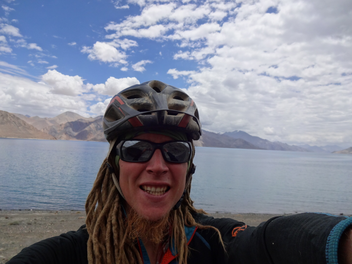
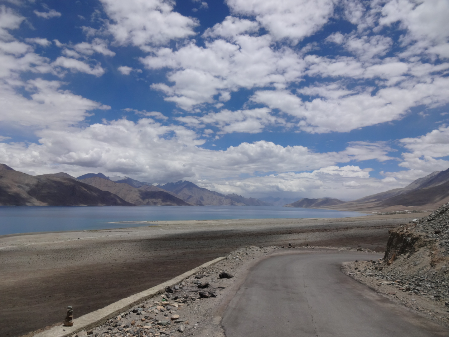
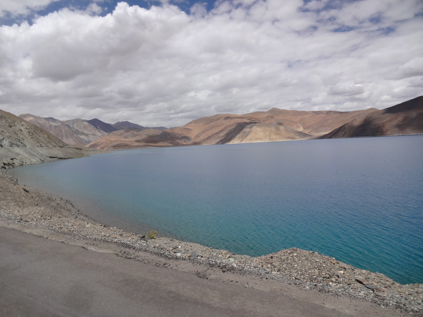
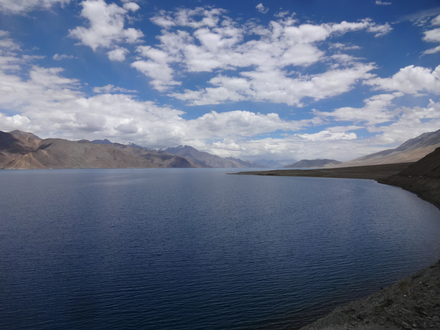
paved road. as far as i know, there is a checkpoint in merag and foreigners are not allowed to continue on that road (which leads again to chushul). plenty of restaurants at pangong tso. some shops and restaurants in tangtse.
Tangtse – Chang La – Shakti
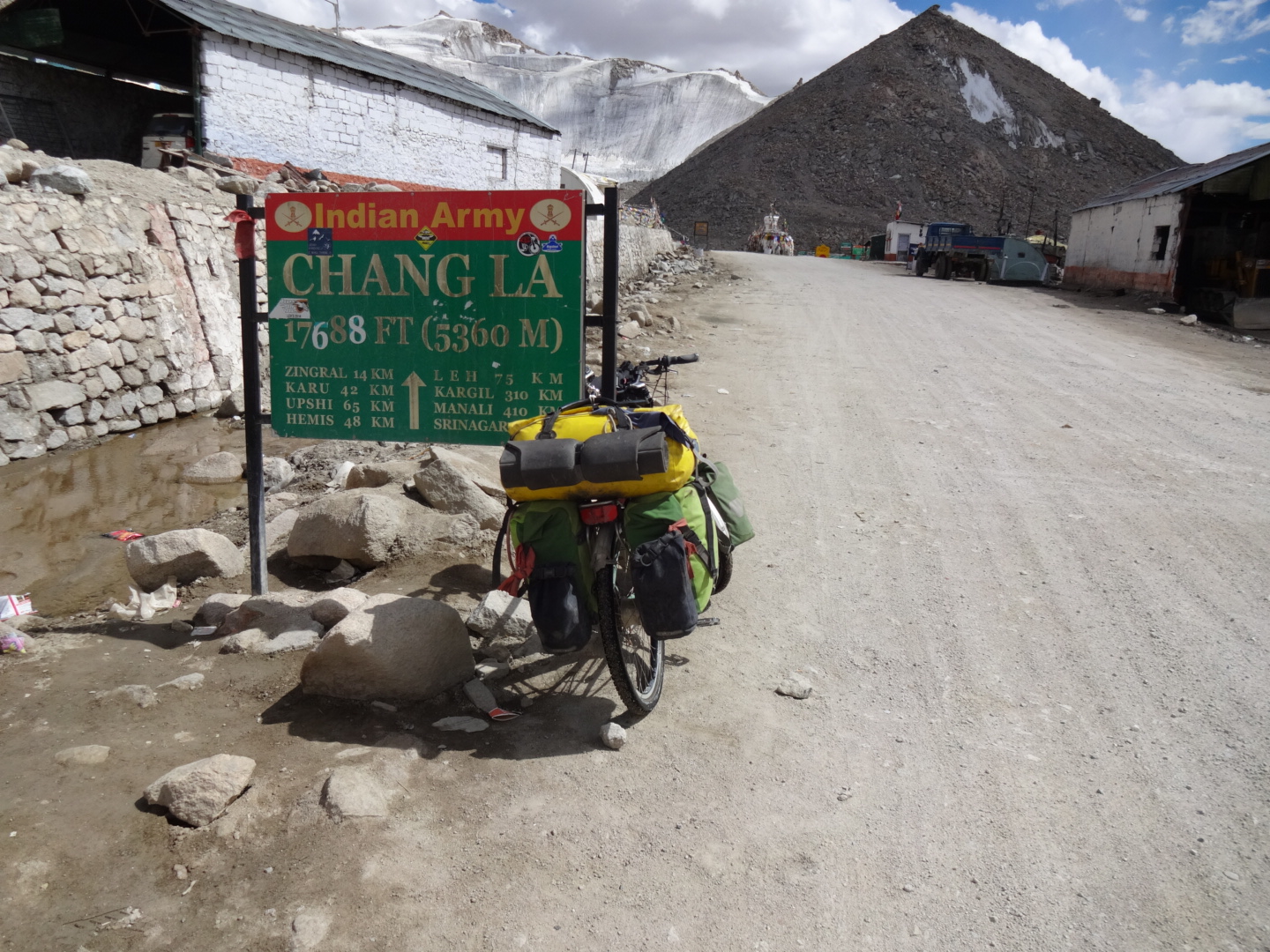
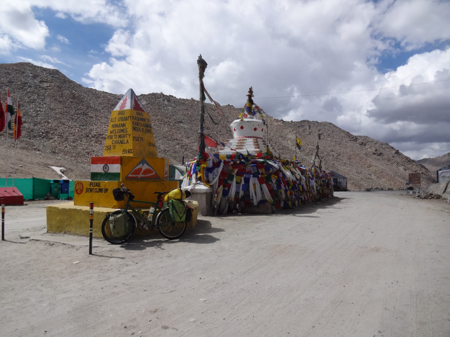
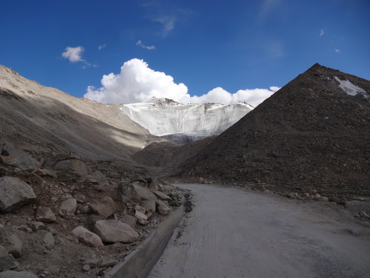
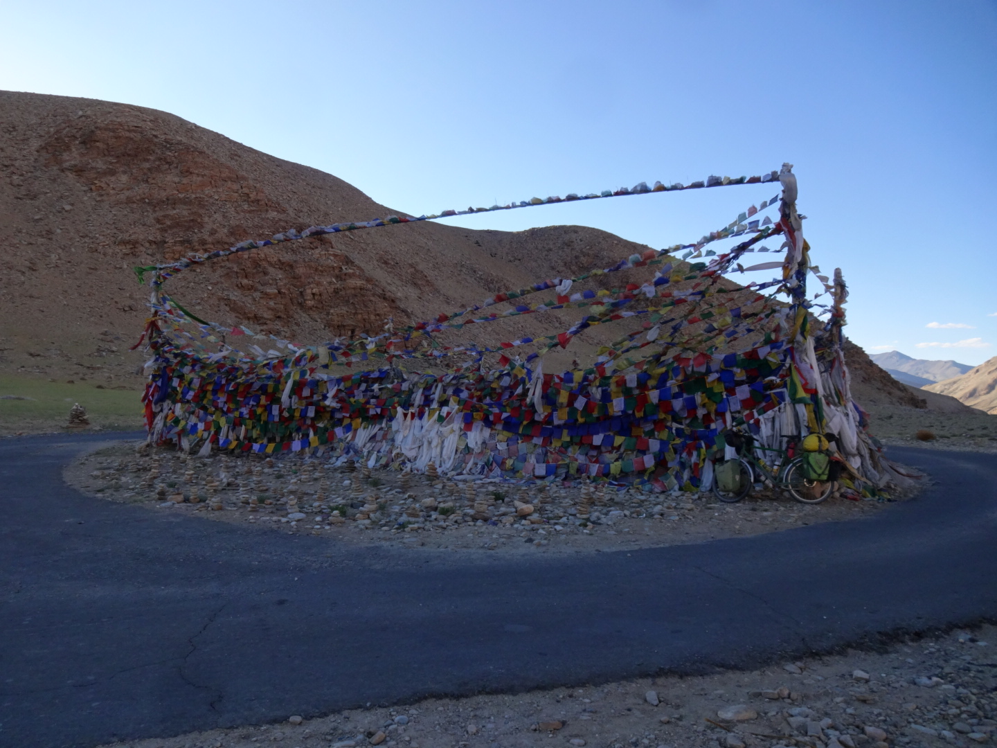
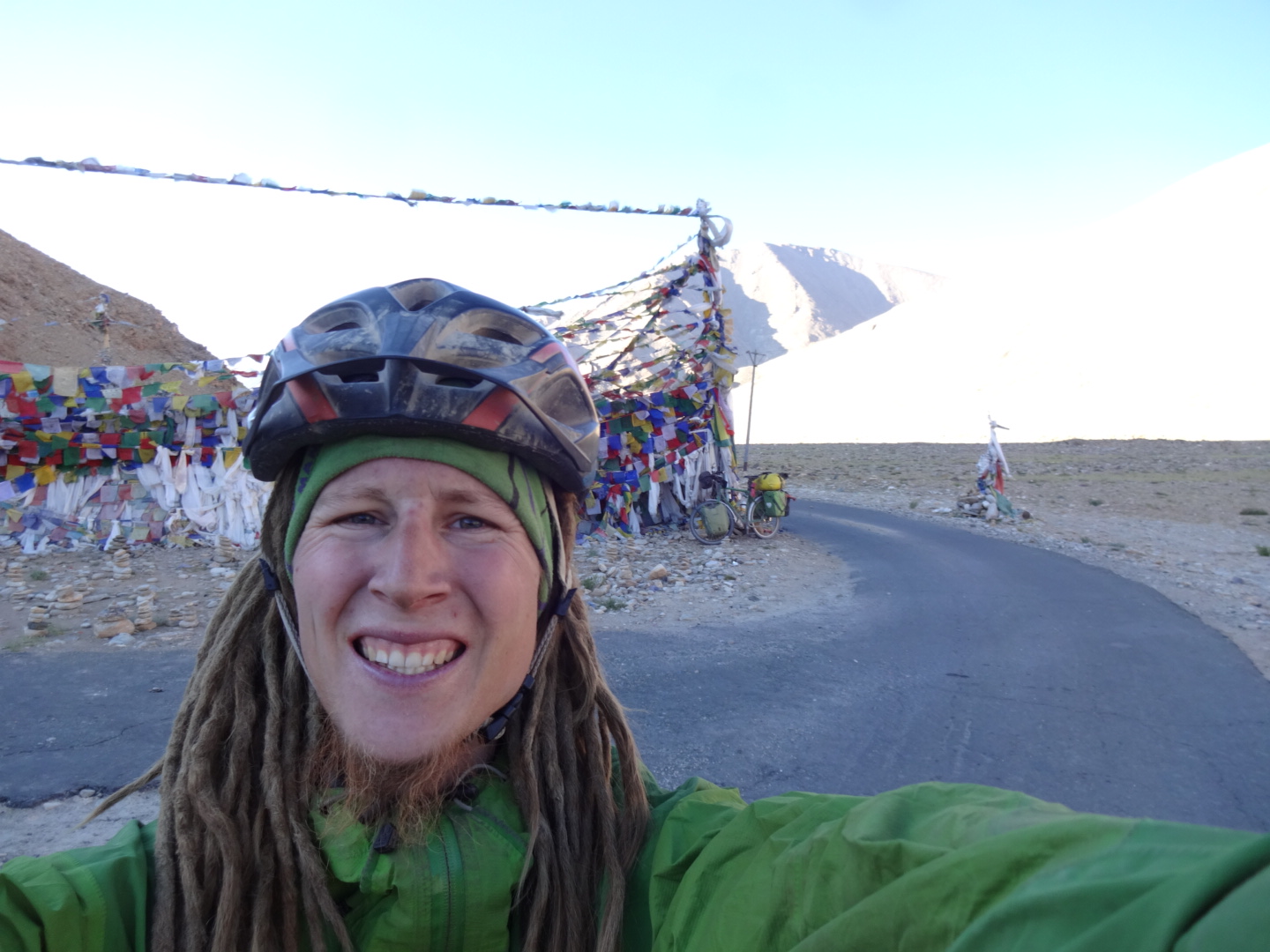
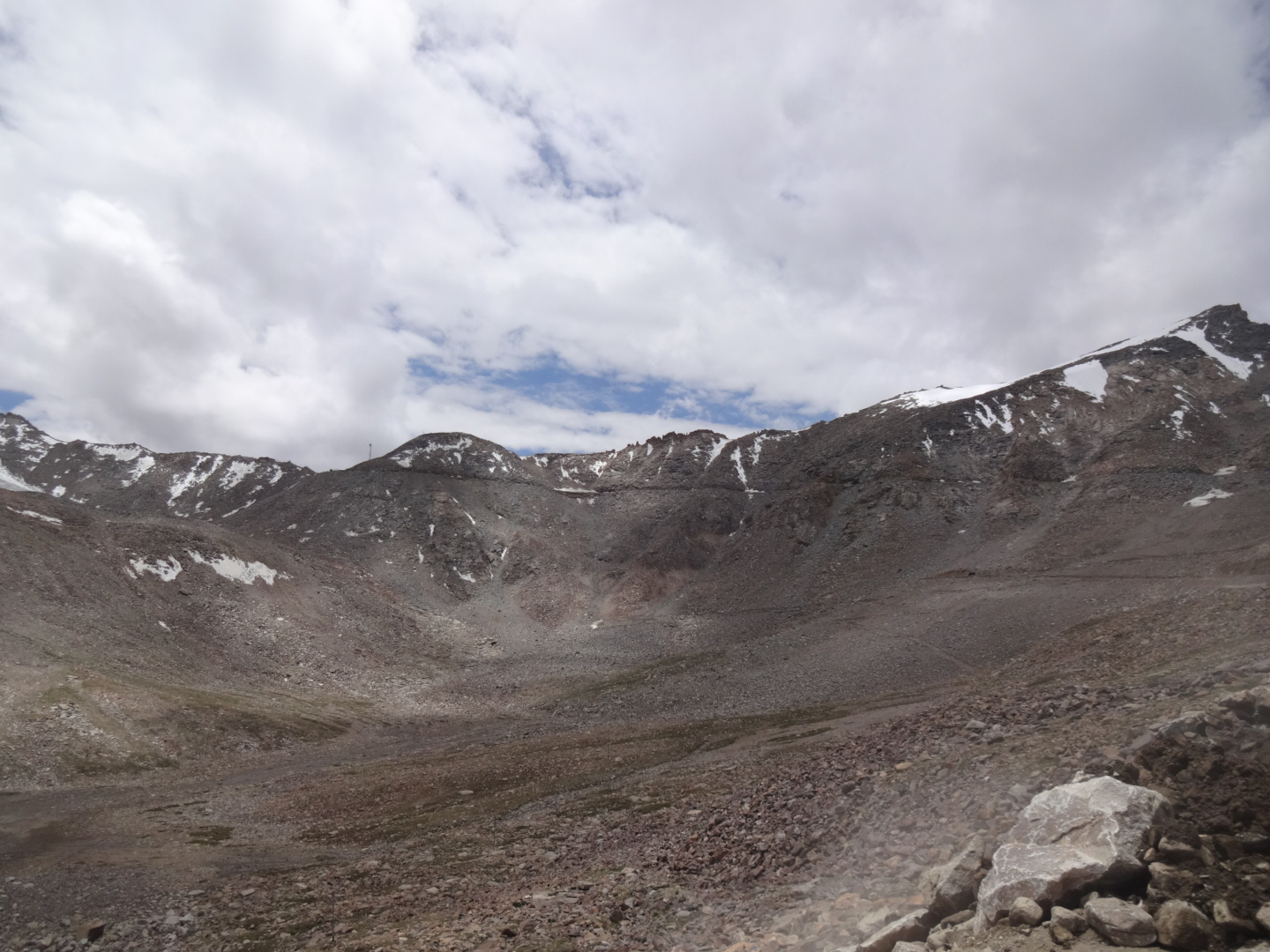
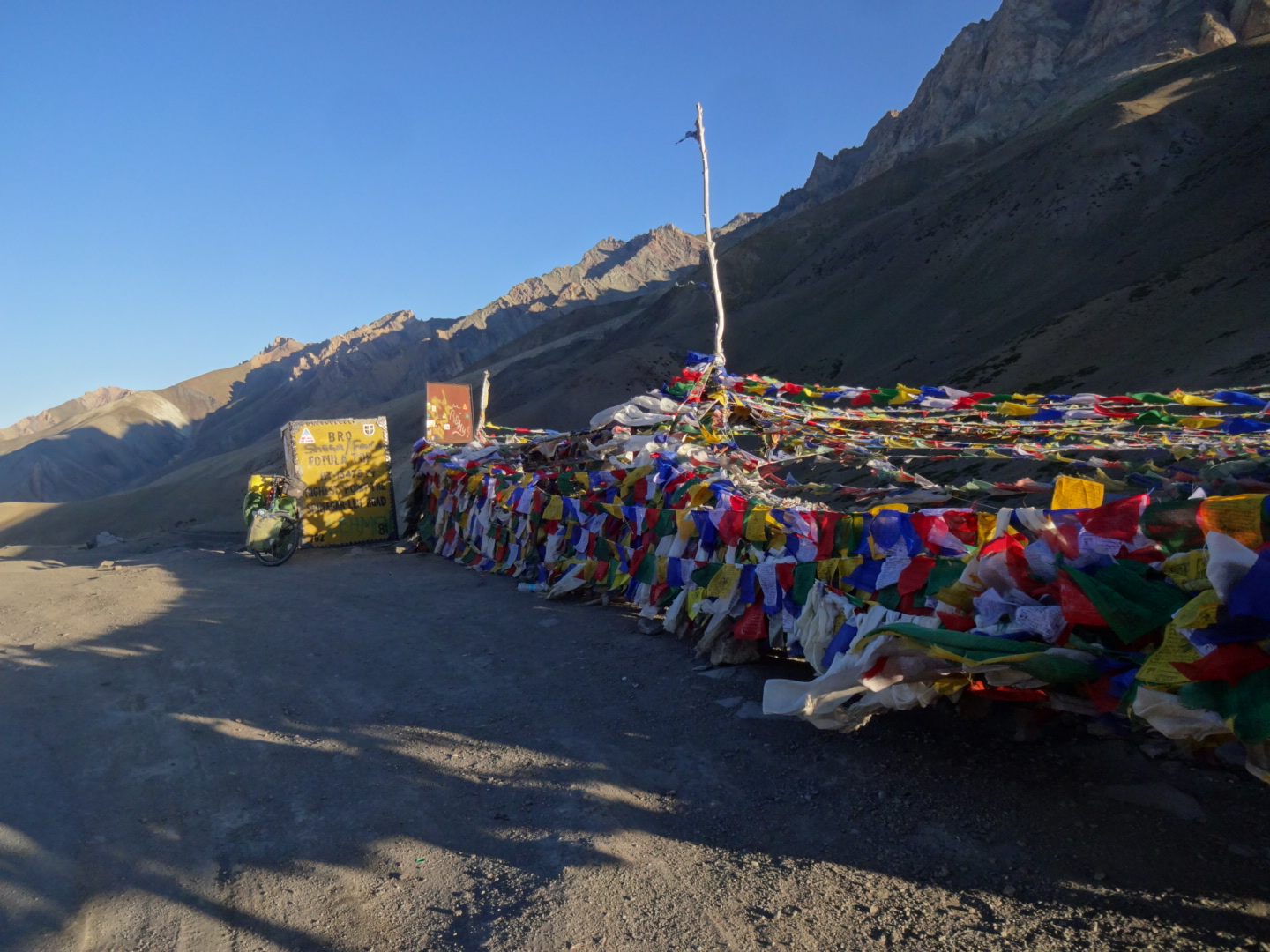
checkpoint outside of tangtse (34.039N, 78.164E). first part is paved, in the beginning sometimes steep. finding water was not a big issue. the last few kilometer to the top of chang la (5360m) are in bad condition. the first part of the descent was in bad condition as well. later on the road is paved. restaurants in shakti.
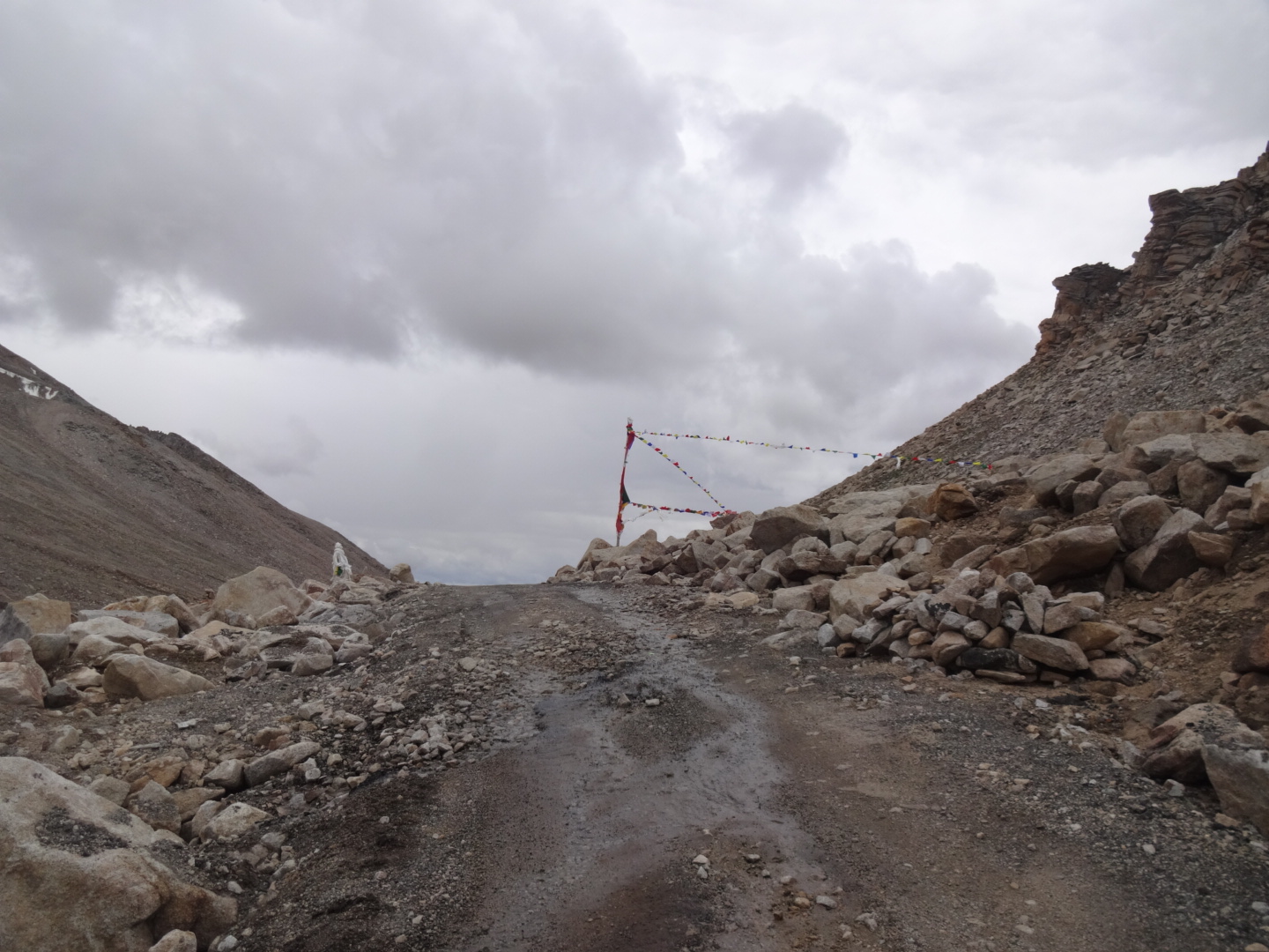
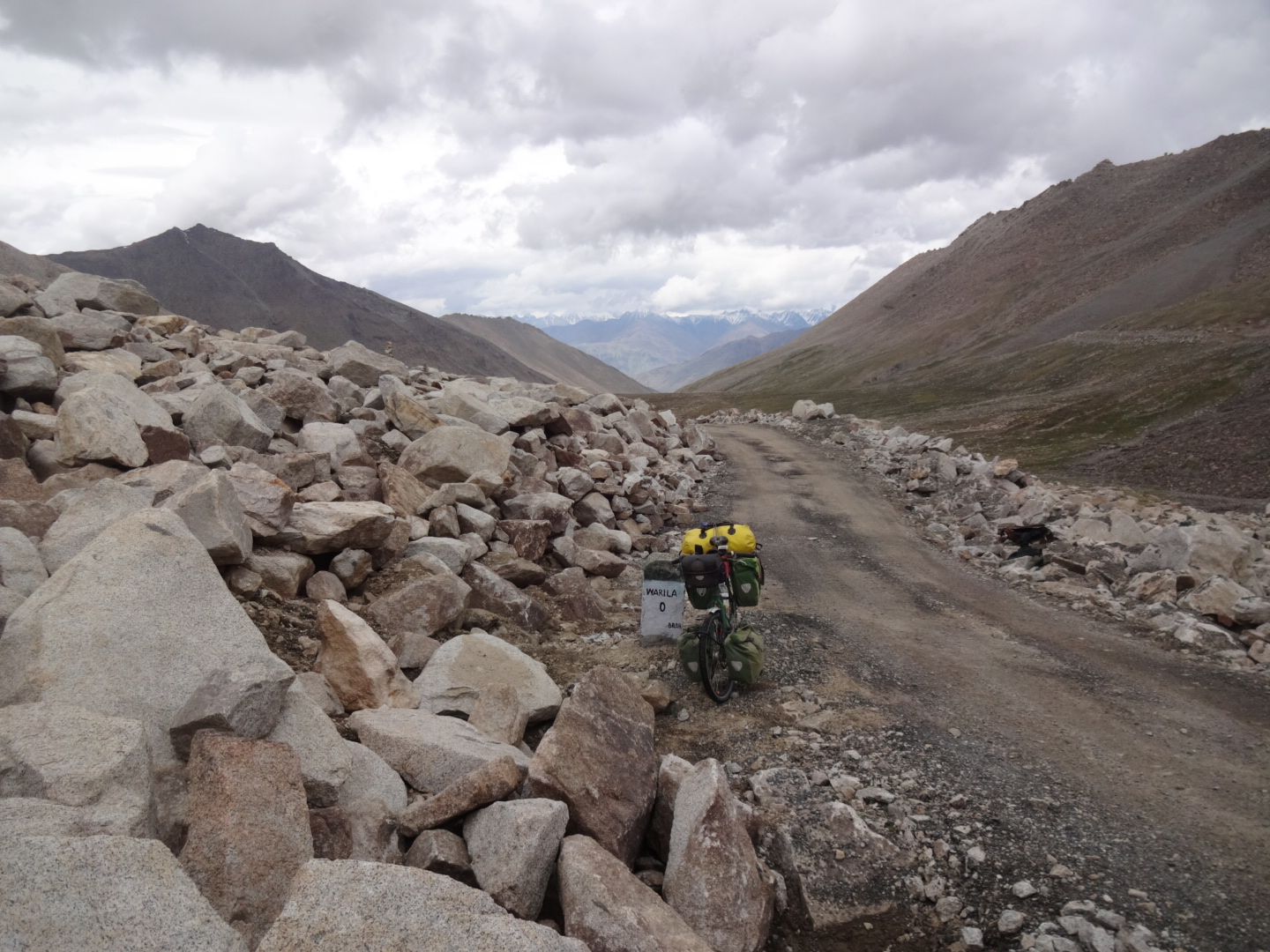
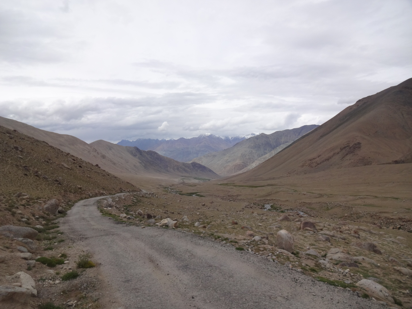
Shakti – Wari La – Agam – Khalsar
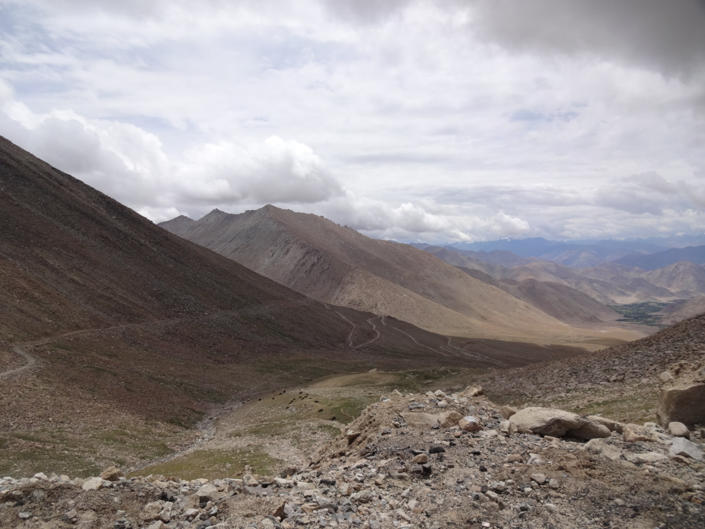
13km before the top of wari la (5312m), there is a stream. the road was only unpaved for the last 2km of the climb. on the northern side of the pass, the road is mostly unpaved (and thus wari la is probably much harder to climb from the north). i didn’t check for food in agam. between agam and khalsar, i had extremely strong headwind (going less than 10km/h on a flat road). unfortunately, khalsar is 150 vertical meters below the point where you reach the road to khardung la… there are a few restaurants and one shop in khalsar.
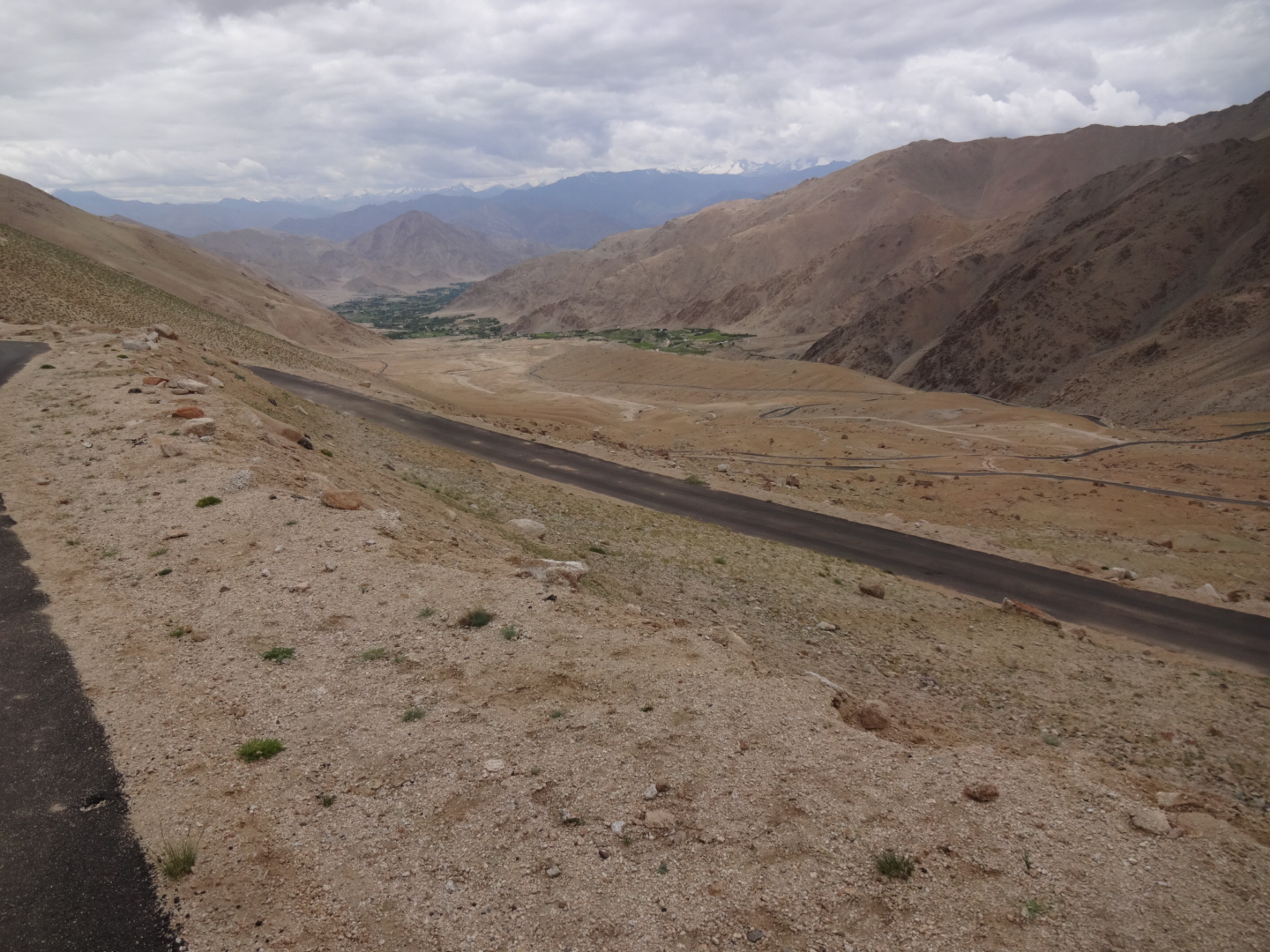
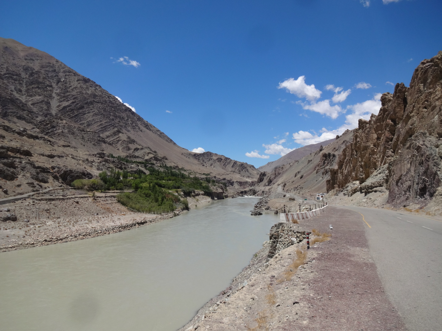
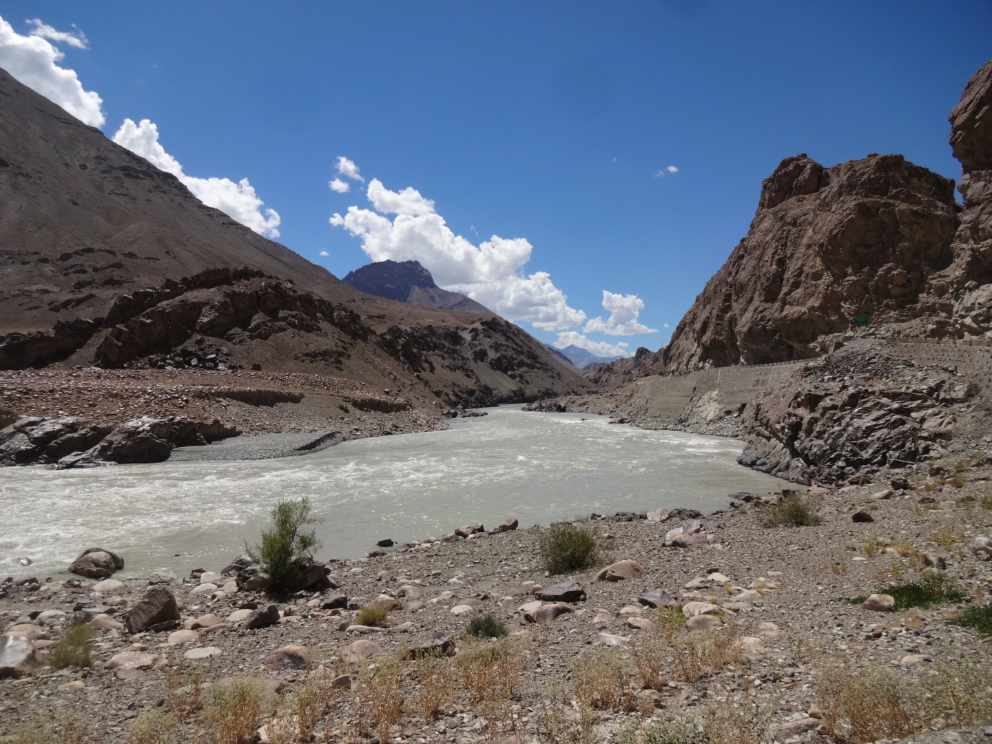
Khalsar – Khardung La – Leh
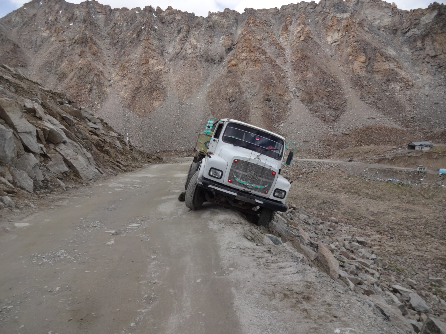
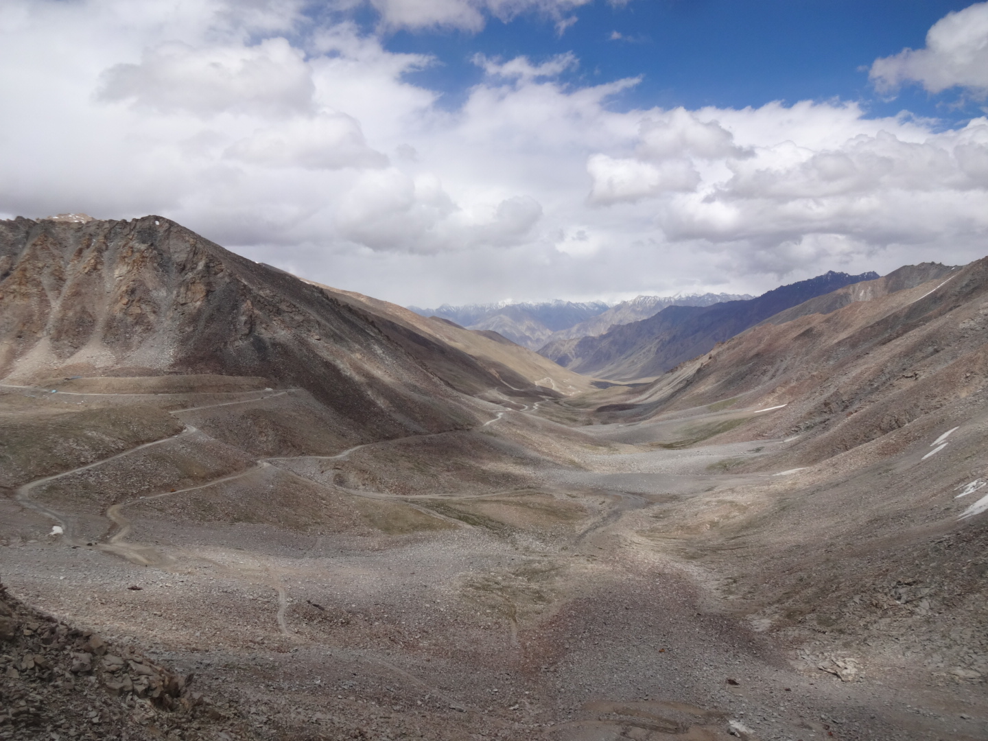
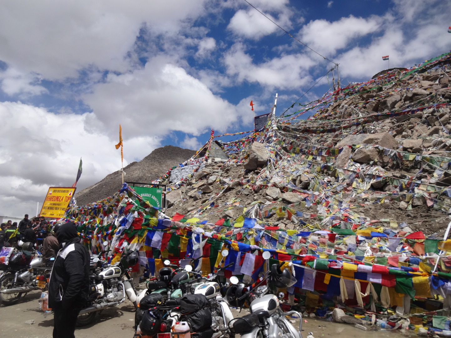
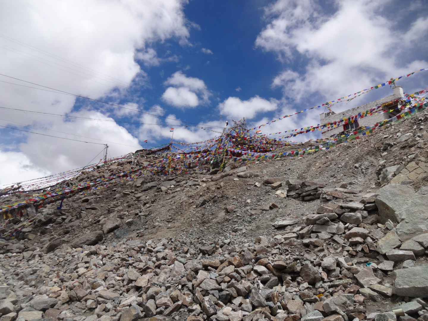
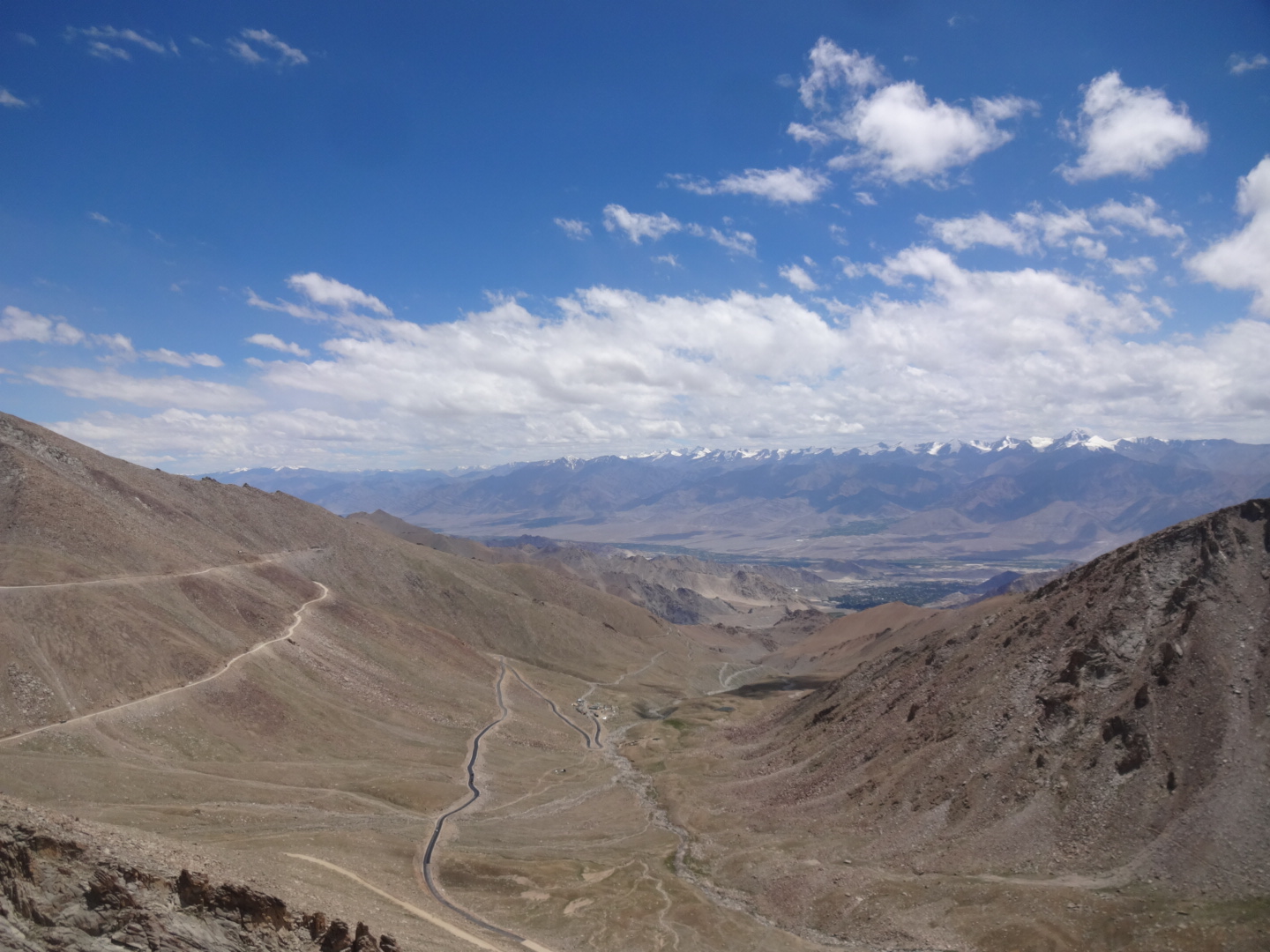
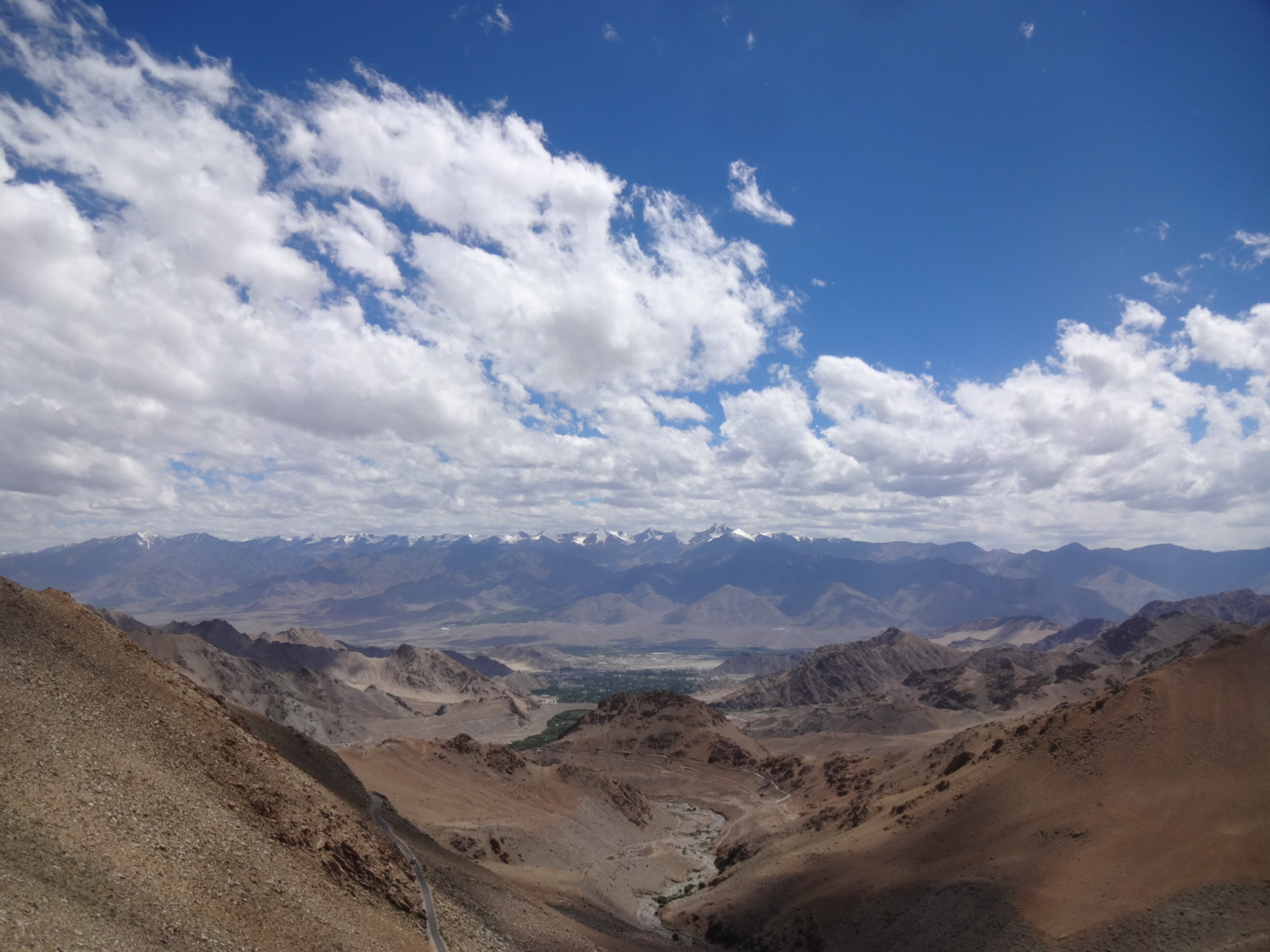
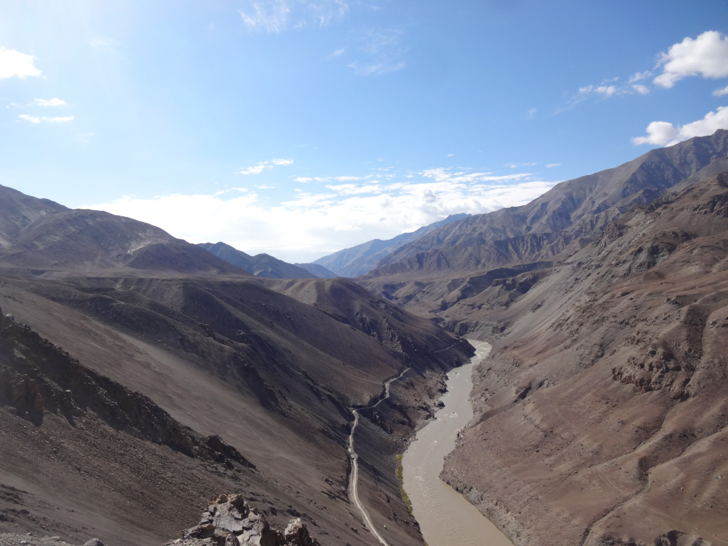
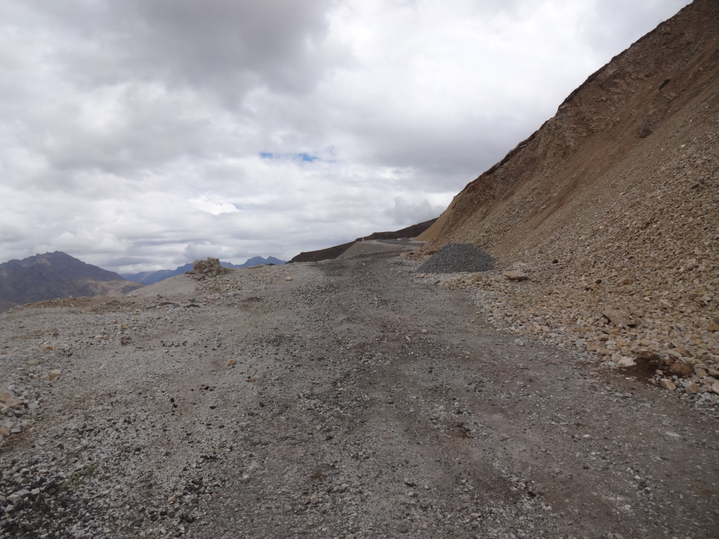
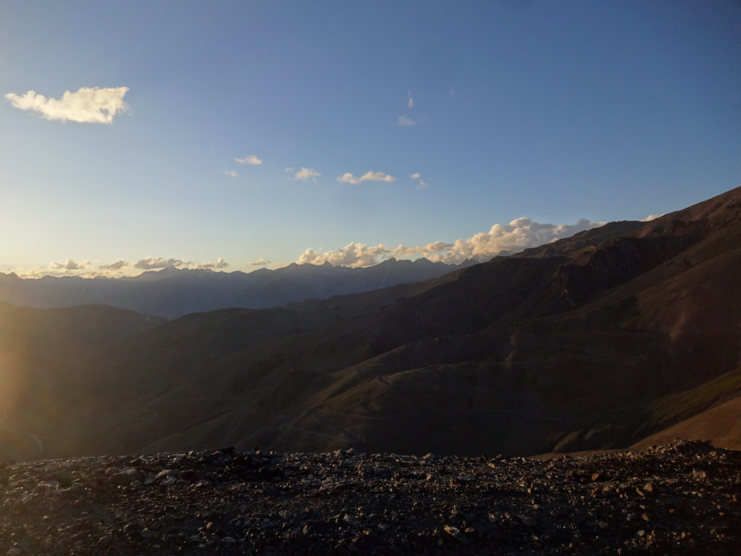
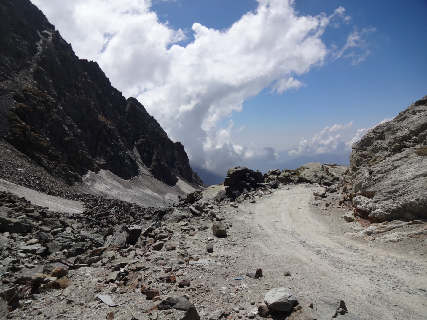
road is paved until north pullu (military camp). some restaurants in khardung village. there was no water between khalsar and 2km before khardung. after khardung, there was one river, and after that, the bend at 34.348N, 77.665E is the only place between khardung and north pullu where you can get water. there is a checkpoint at north pullu (but afaik, they only check the traffic going towards khardung la). i reached north pullu at 18:00 and the police man wanted me to turn back to khardung village, because of the cold on the pass and the very high altitude. in the end, i was allowed to camp on the river near the army camp, although the police man was worried as i didn’t carry oxygen with me – haha! after north pullu, the road was unpaved and involved some river crossings. lot of traffic. too many indian tourists on the khardung la (5359m) taking pictures in front of the “5602m – world’s highest motorable road”-sign. road to leh was a bit rough in the beginning, but as soon as the tarmac begins, the road is in good shape. there is a checkpoint at south pullu, but they probably only check the people coming from leh.
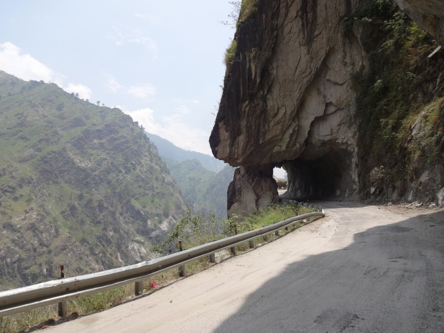
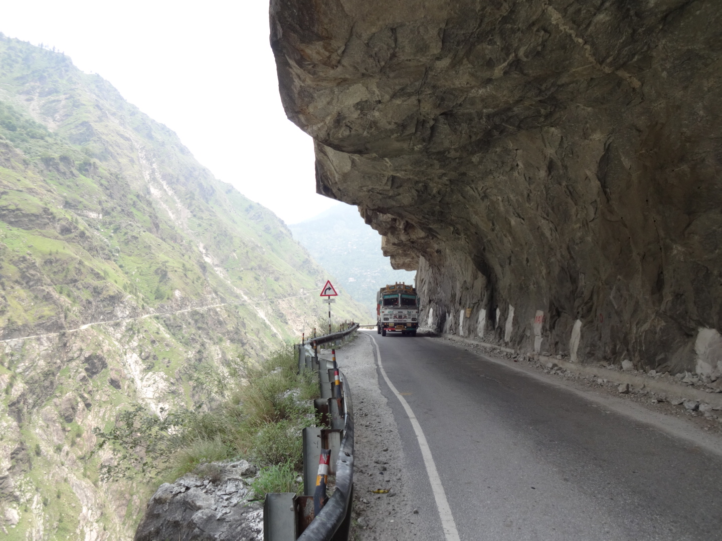
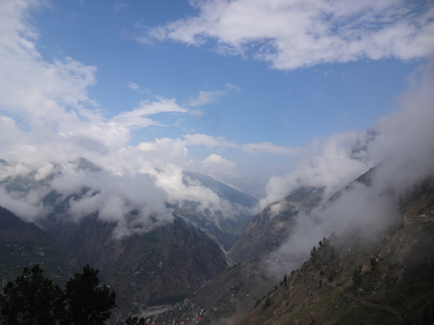
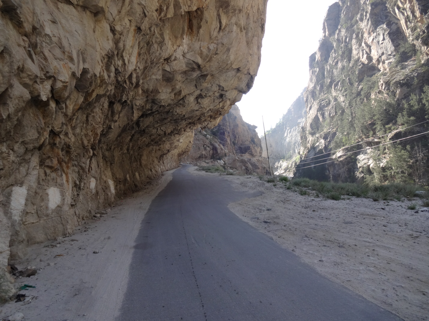
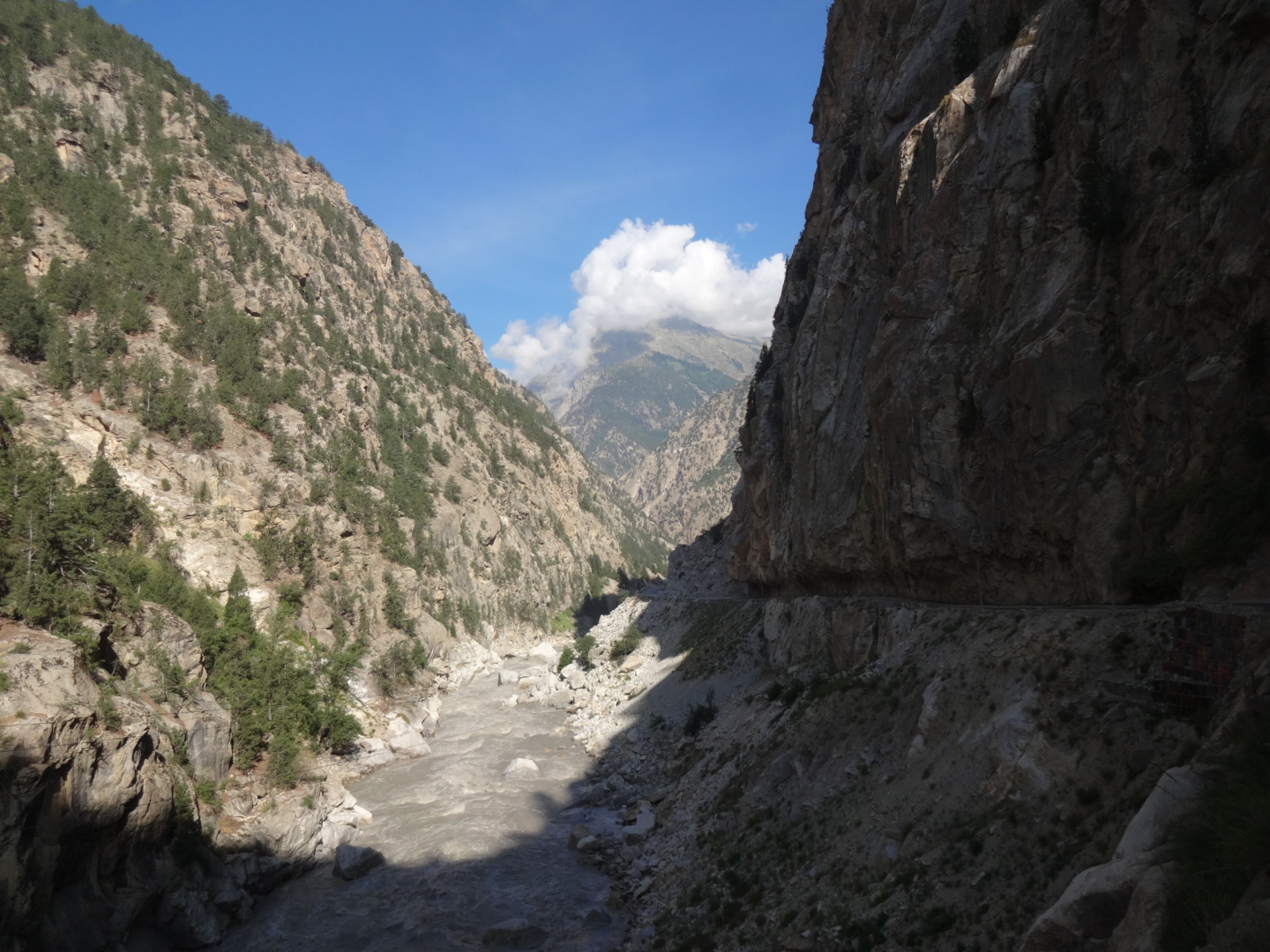
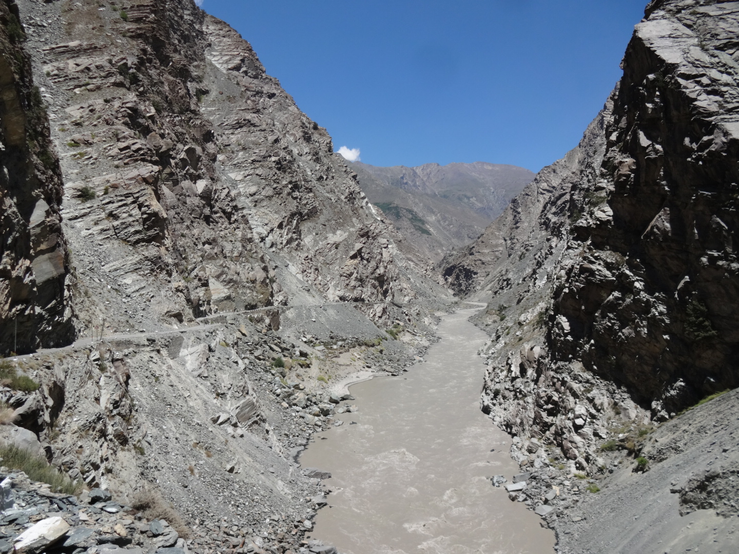
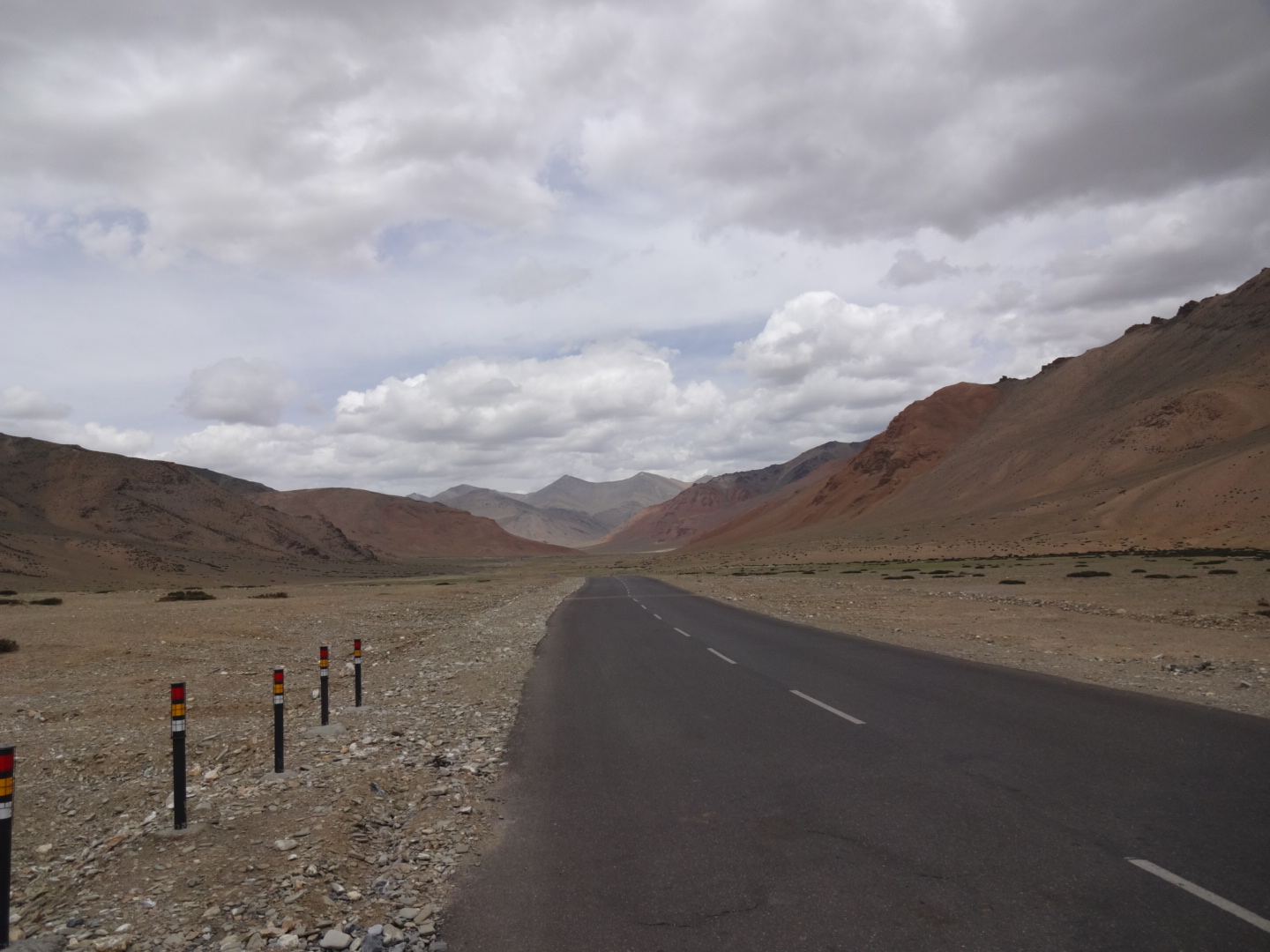
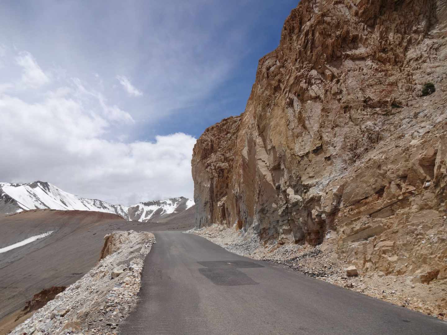
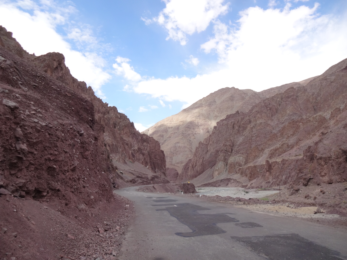
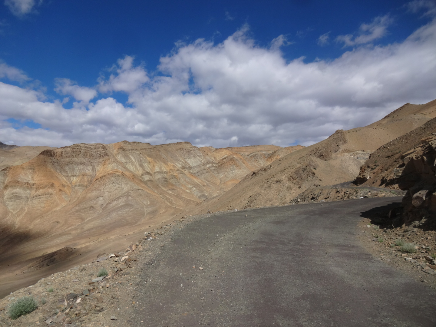
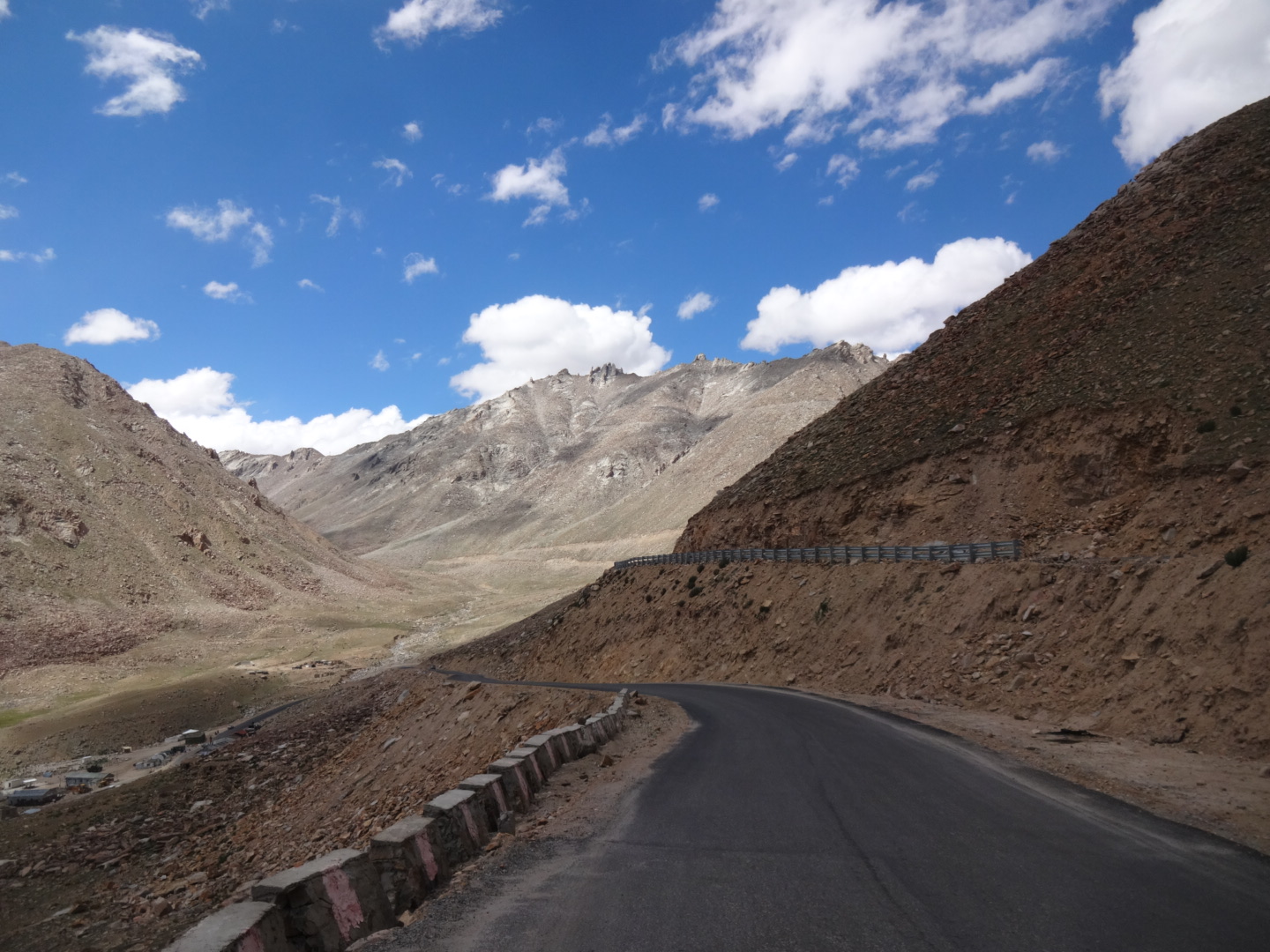
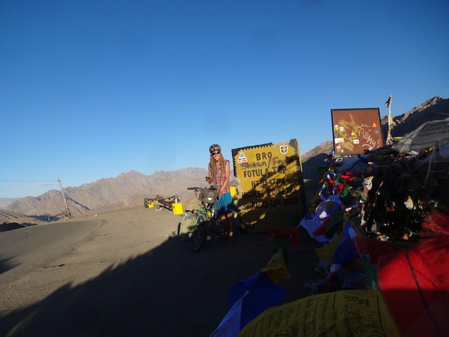
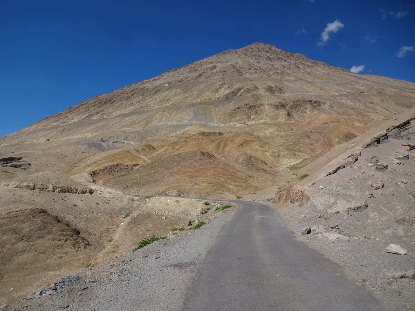
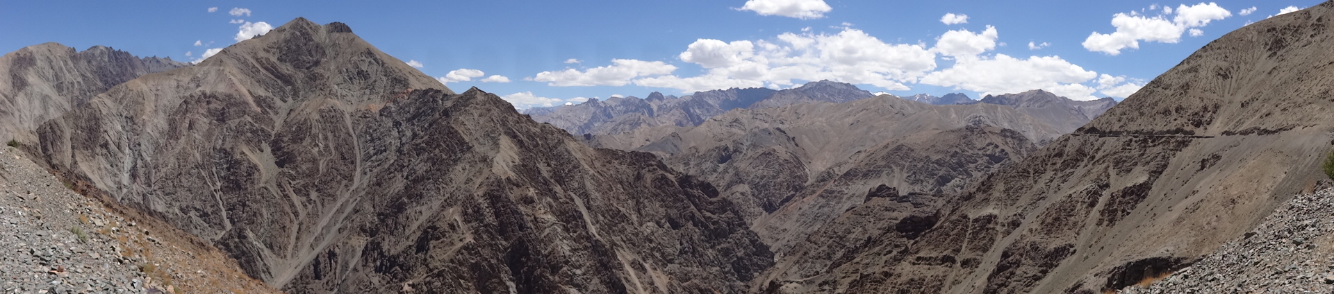
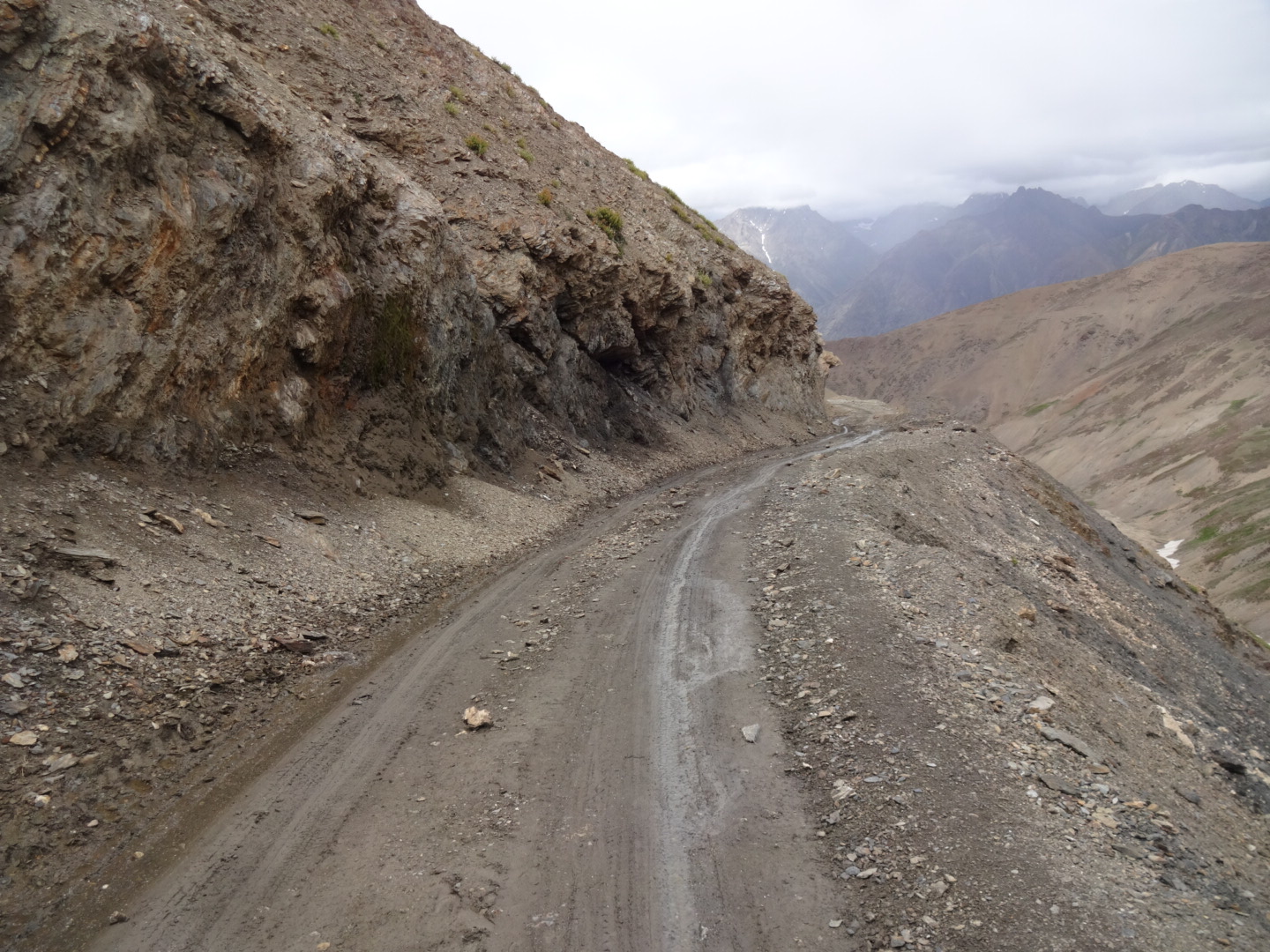
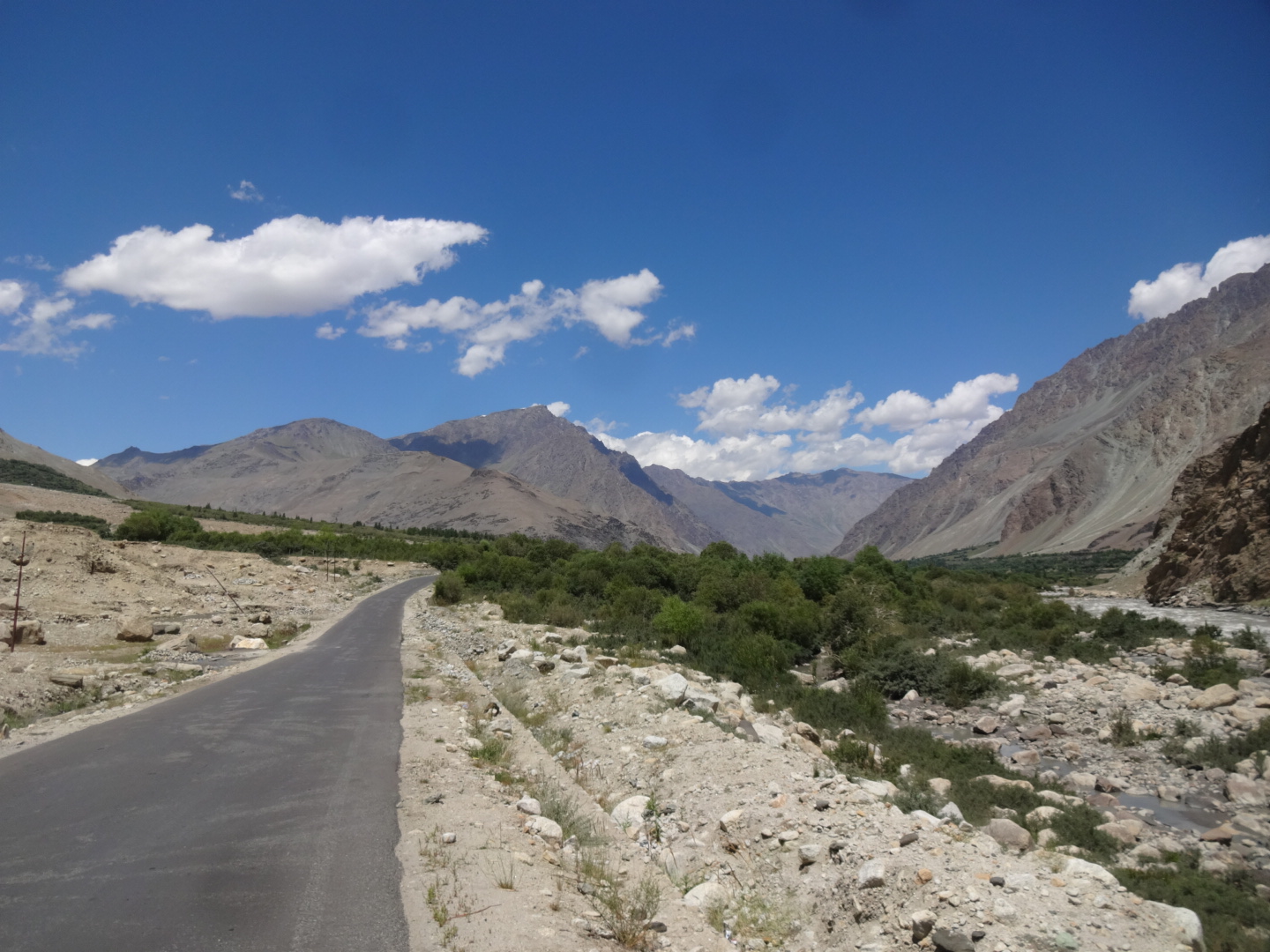
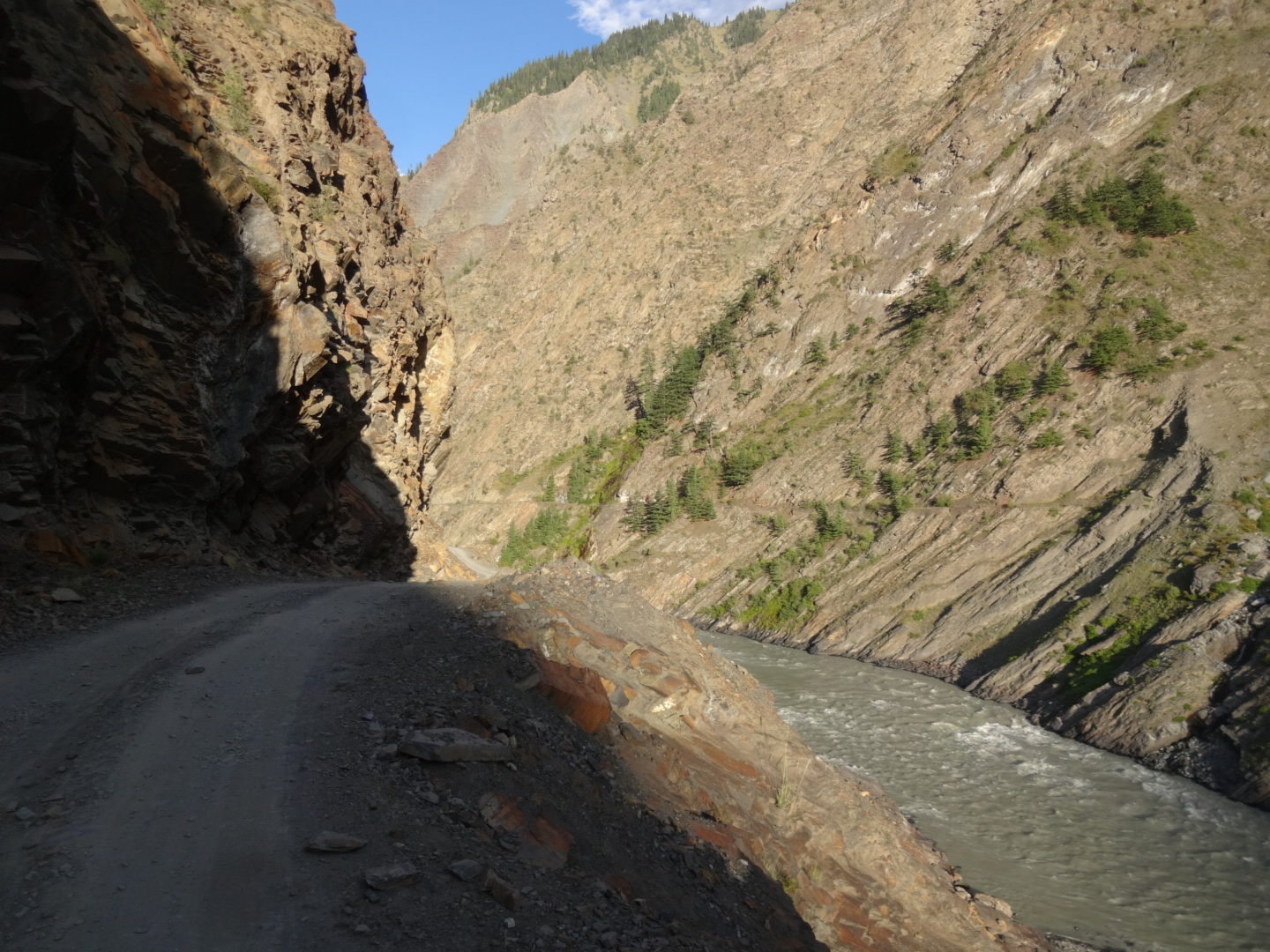
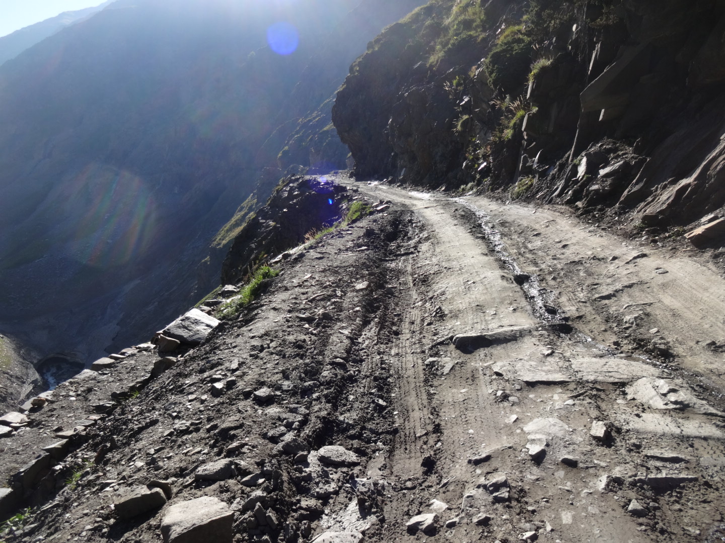
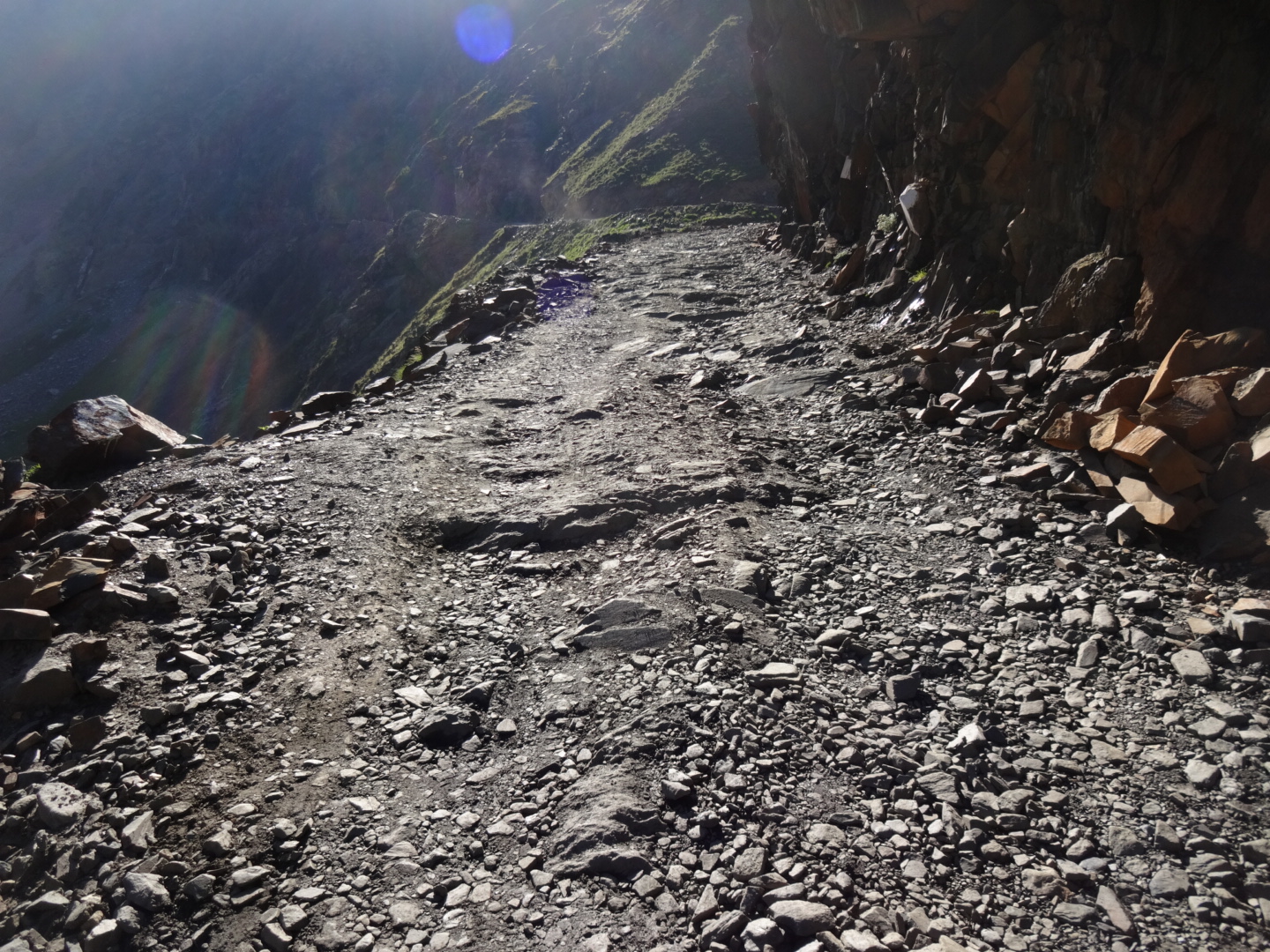
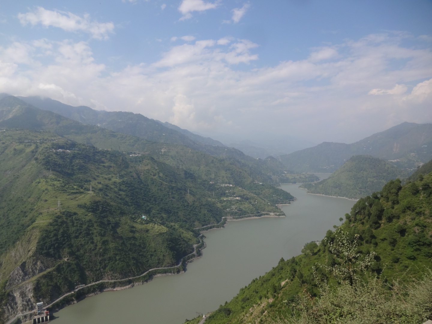
***** Sringar-Leh-Highway (July 2016)
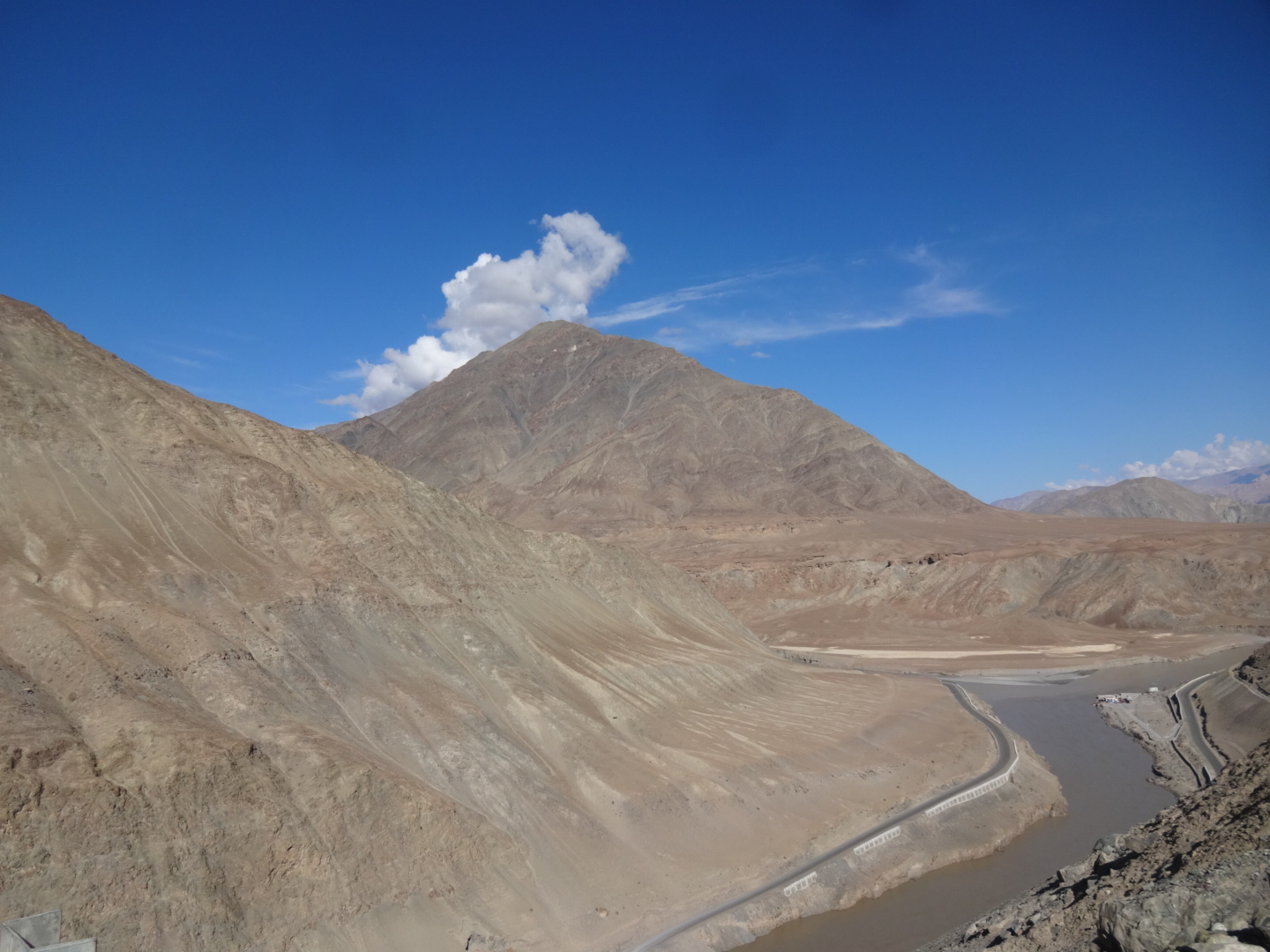
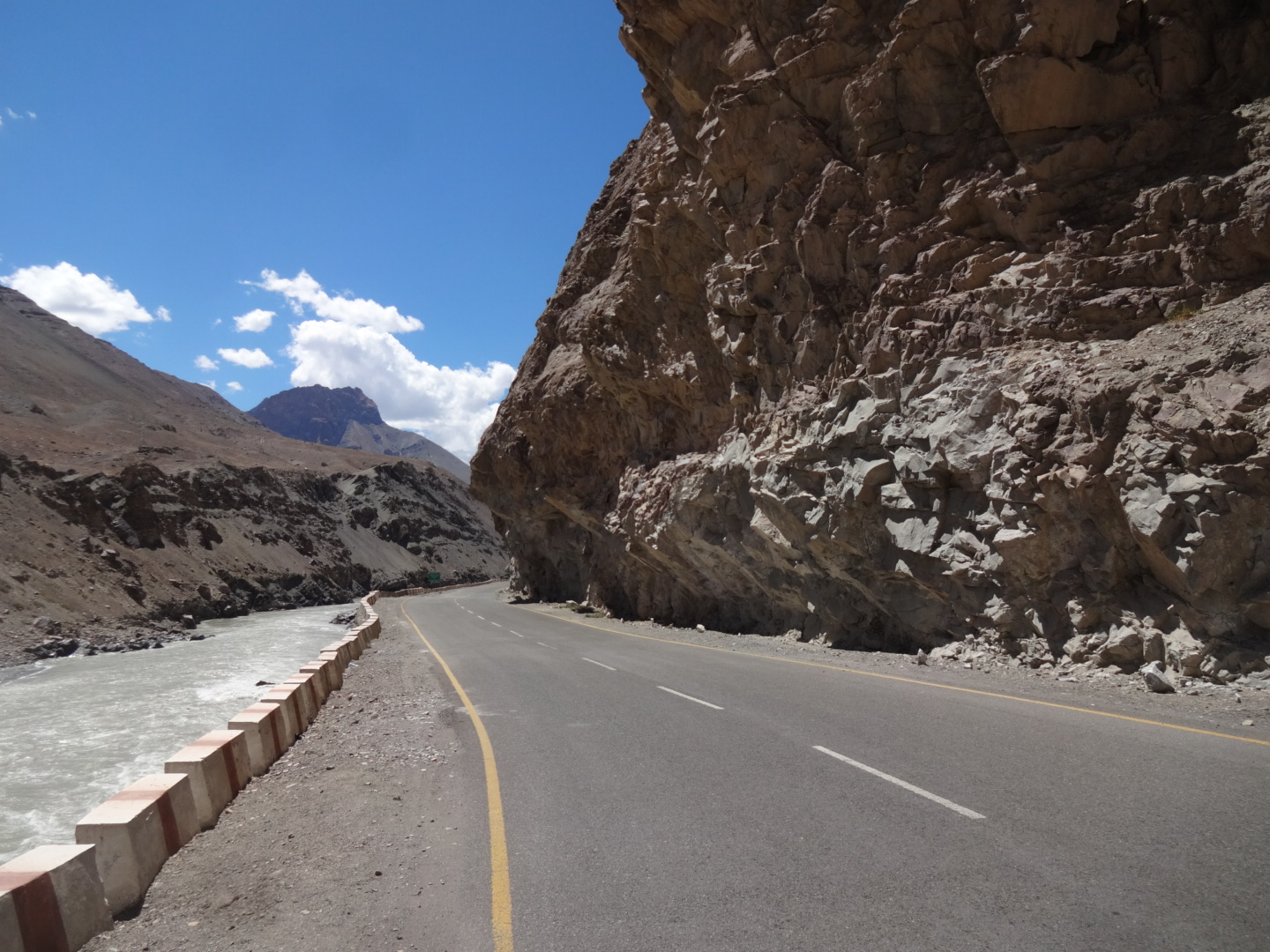


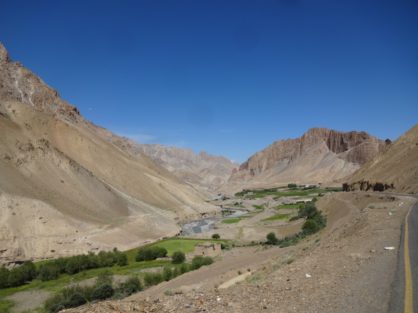


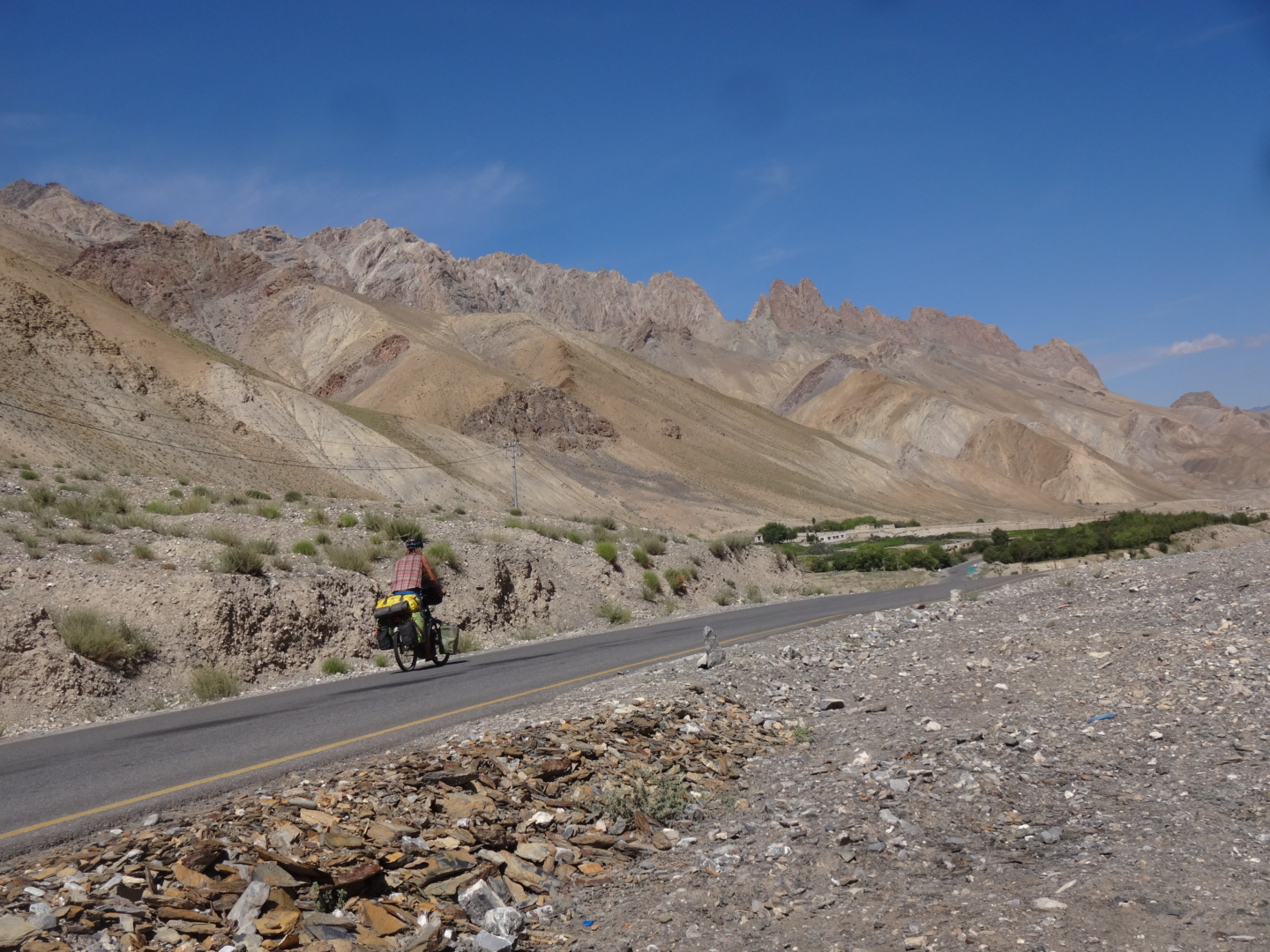
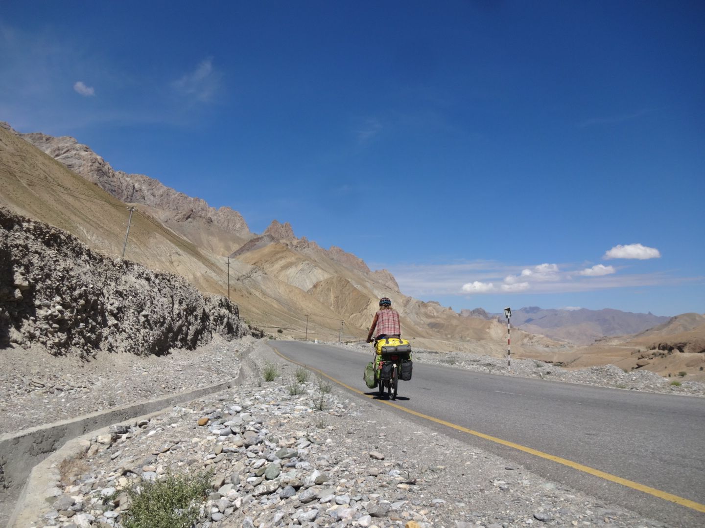
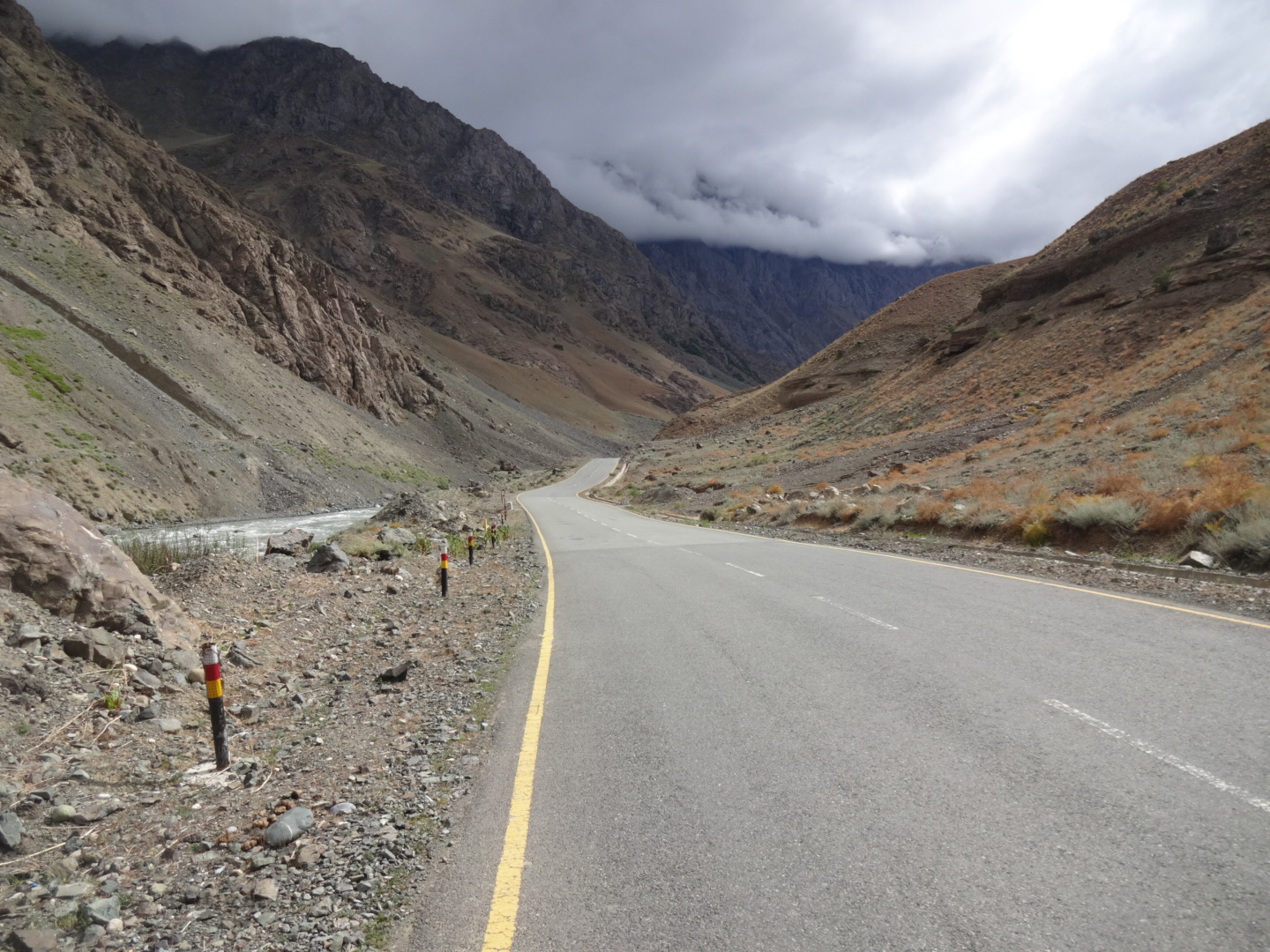
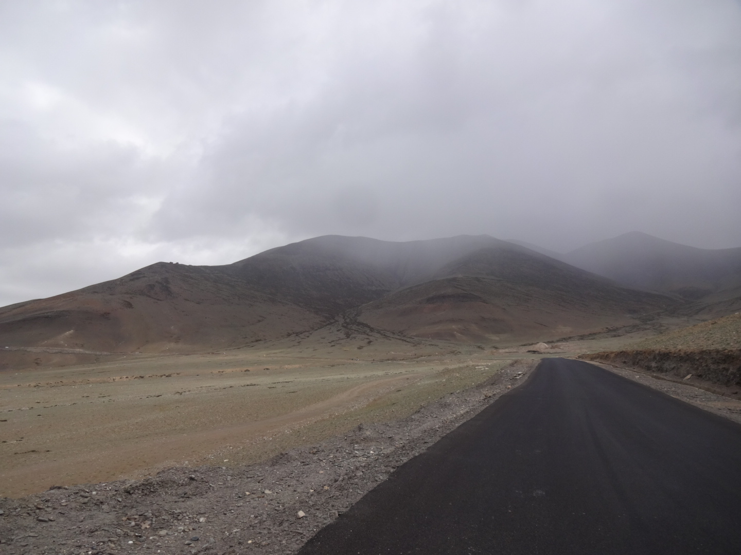
i cycled from leh to dras, but i didn’t continue to srinagar as i went via umba la to sanko (zanskar valley). the road was mostly paved, only 20km before kargil there were 2 unpaved sections (7km and 2km). headwind all the time. between leh and fotu la, there are two small “passes”, there was not much water between leh and the first “pass” (especially no water in the “river” at 34.12N, 77.430E). but between those two “passes” you can easily get water. after khalatse, i took the old road (34.313N, 76.842E). the old road was not as good as the highway, but not bad at all and there was no traffic. but there is also NO WATER on the old road, but you can get water just before the old road starts as there are some dhabas. the old road comes back to the highway a little bit after (and higher than) lamayuru, but you don’t need to go back to lamayuru, because you will reach a dhaba soon. but after that, i think there was no water on the way to fotu la (4108m), but after the pass there was a little dhaba where you can get water. between namika la (3838m) and kargil, you can do a nice detour to sapi la (4370m), details below.
***** Sapi La (July 2016)
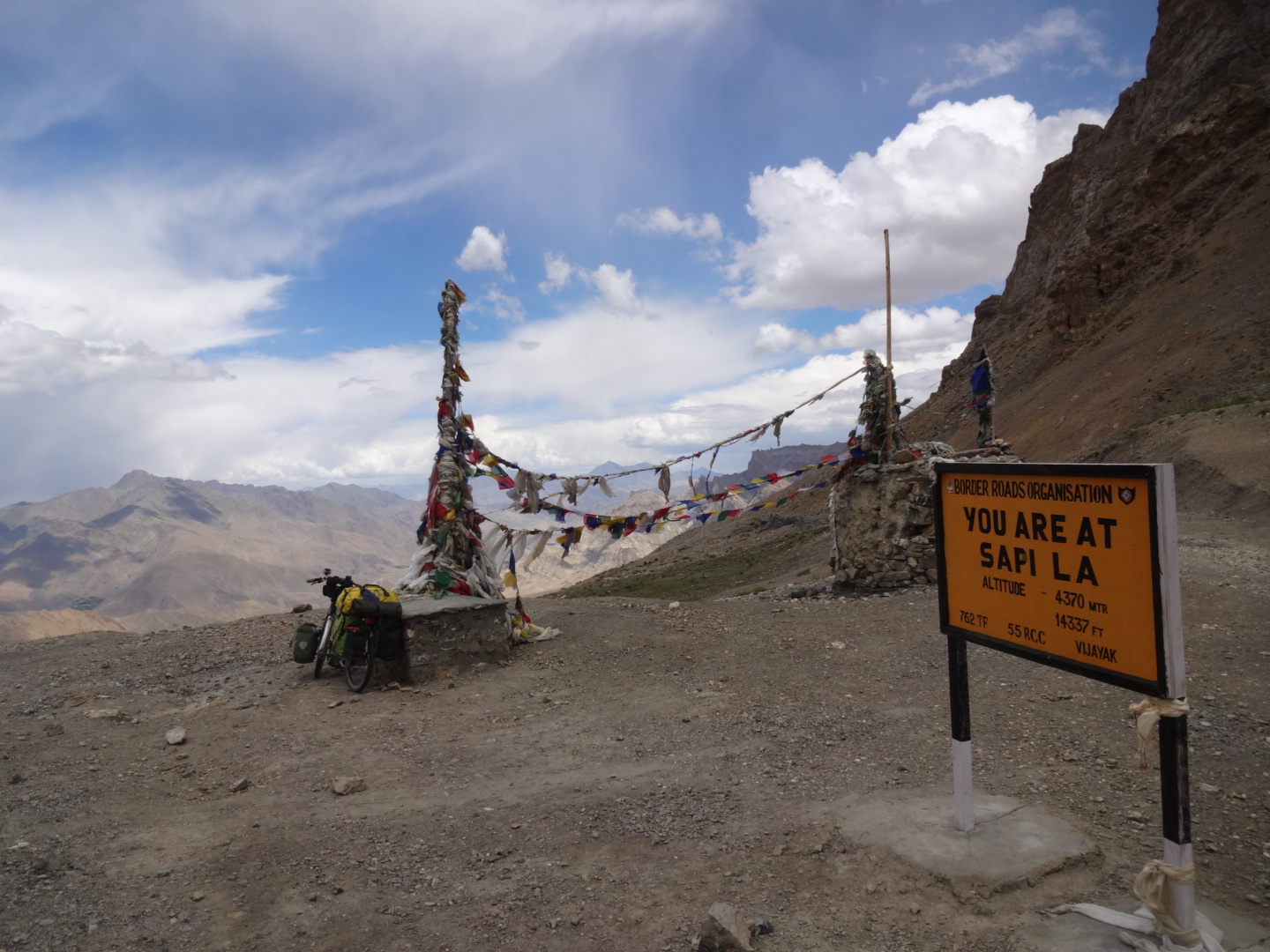
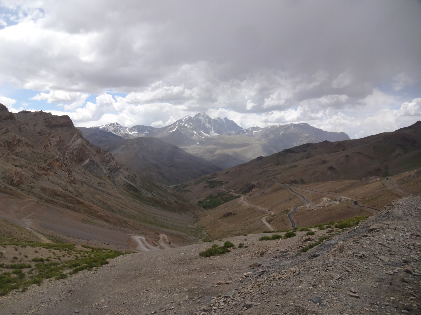
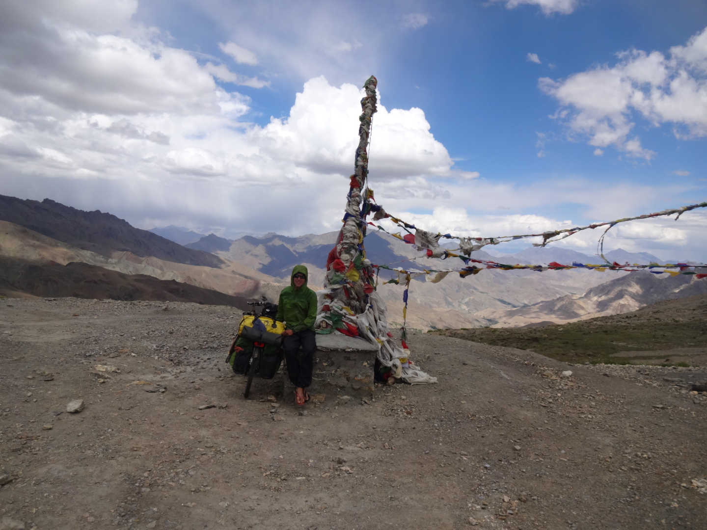
the dead-end road to sapi (village) over the sapi la (4370m) starts on the srinagar-leh-highway at 34.404N, 76.300E. the road to the pass was paved. not much traffic on the road, but some trucks as they were paving the road from sapi la in direction of sapi (village). the road is steeper than the passes on the highway (usually about 5%). there are some villages where you can get water, but after the last village, there was only one stream (no gps data). the road to sapi (village) is approximately 40km long, but on the stones there were higher numbers written (approximately 20km more) – so maybe they will connect sapi to trespone or kargil, but several people told me that the road ends at sapi at the moment.
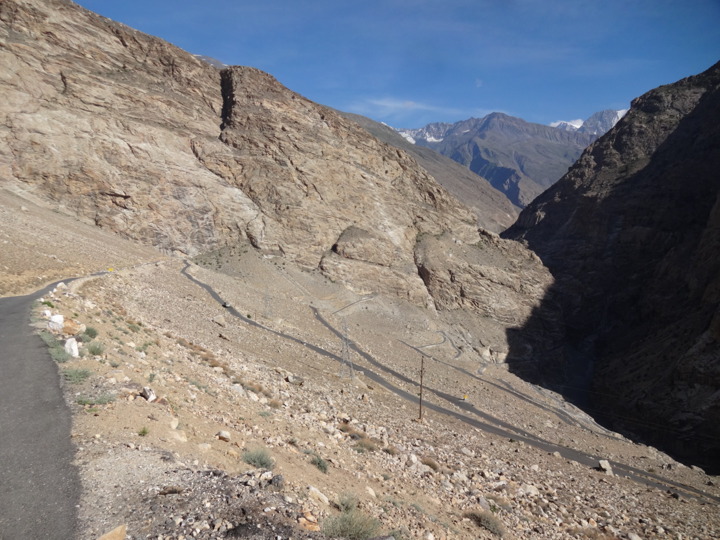
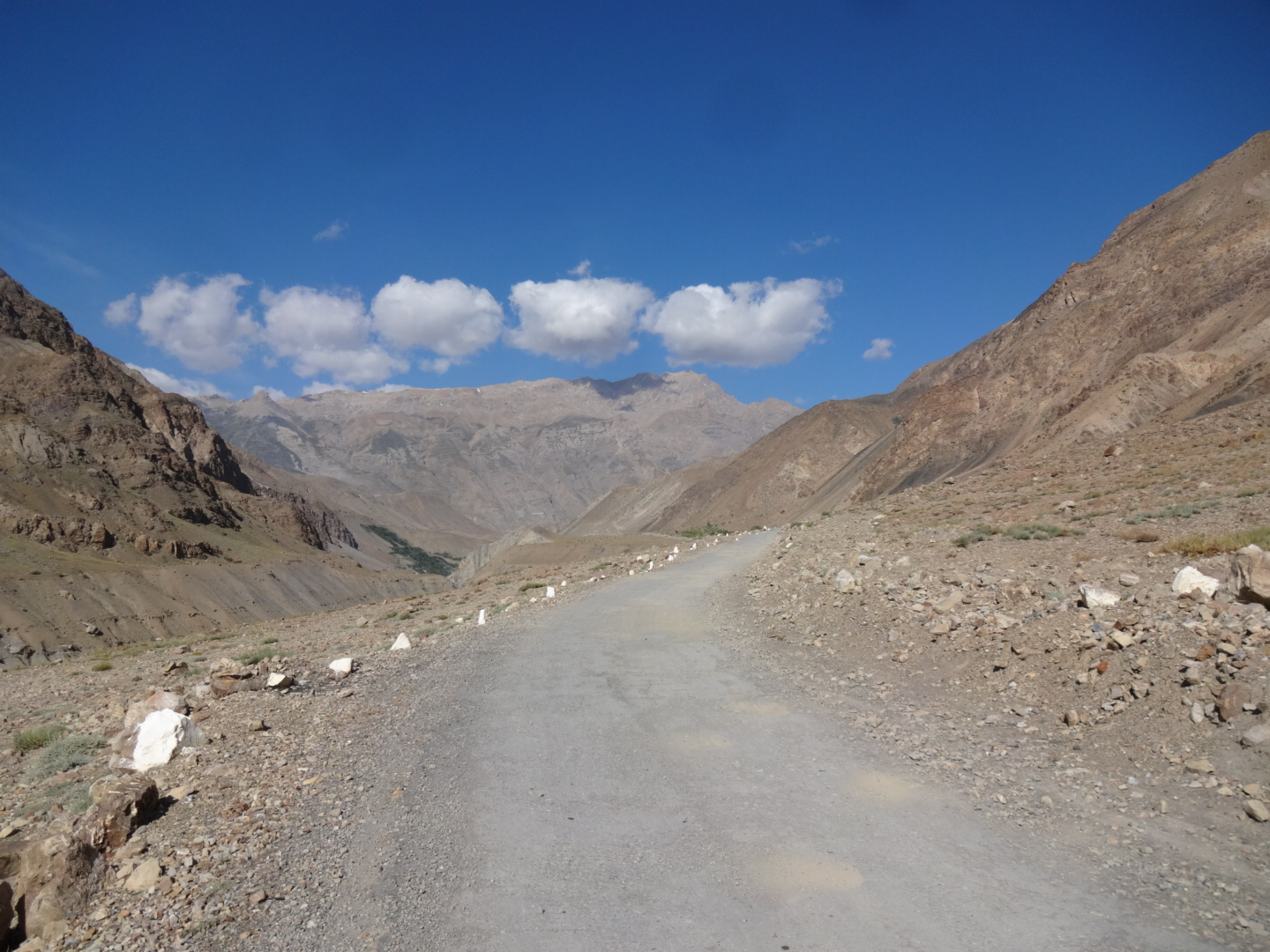
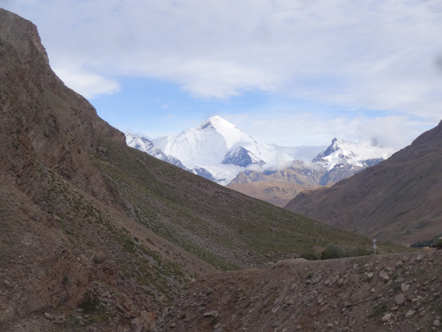
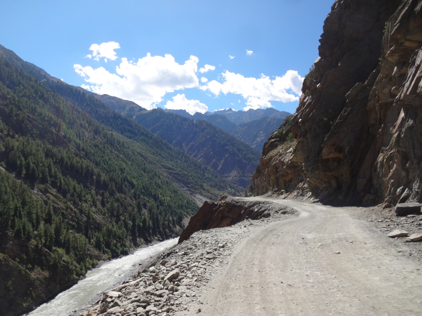
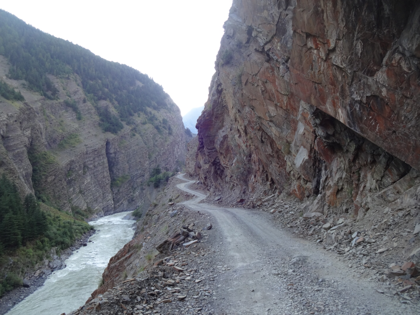
***** Dras – Umba La – Sanko (July 2016)
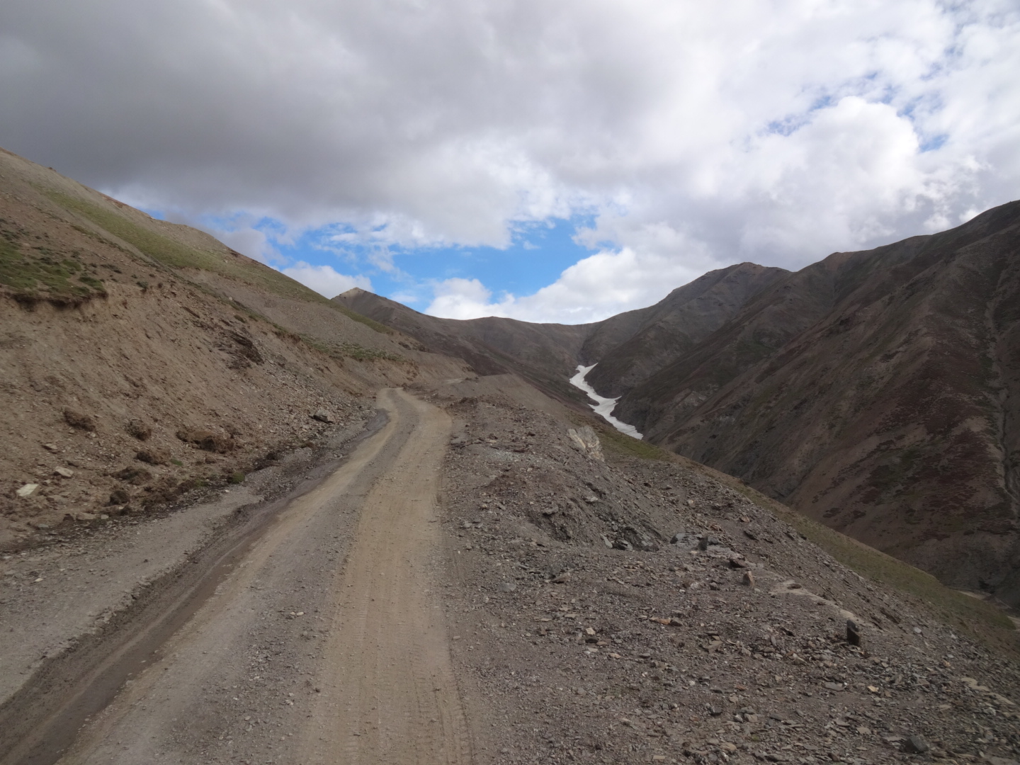
there is a road connecting dras to sanko over umba la (approx. 4500m). this road is not (completely) on google maps, but on open street map. the road starts at 34.430N, 75.760E. you pass some houses in the beginning, but after that, there are no villages anymore. the road was paved in the beginning, but got worse and worse. some sections are steep and rocky, sometimes muddy. at 34.392N, 75.813E, there is a first “pass” (approximately 4300m). after that, the road is more or less flat for 6km, but sometimes muddy. then the road goes down to a river. this section was rough and steep. after the river, the road goes up to umba la (34.355N, 75.847E), the real pass. the road was still rough there, but not too bad on the steeper sections. after the pass, the road was mostly paved. unfortunately, i couldn’t find a nice spot (with water) for camping after umba la, therefore i recommend to camp at the river (34.380N, 75.830E), especially as i had to climb about 1800 vertical meters.
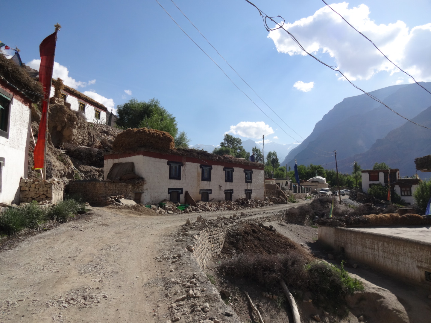
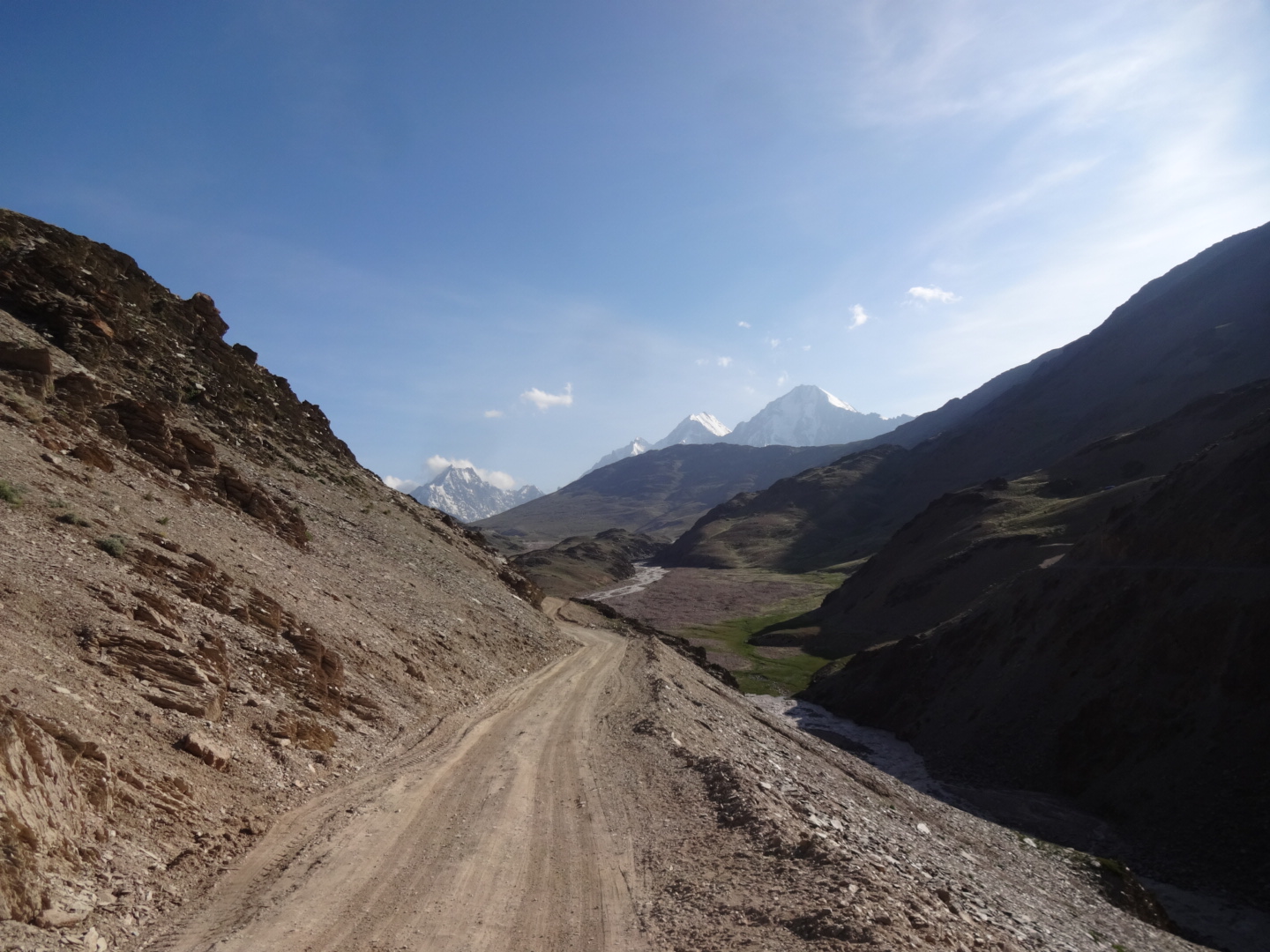
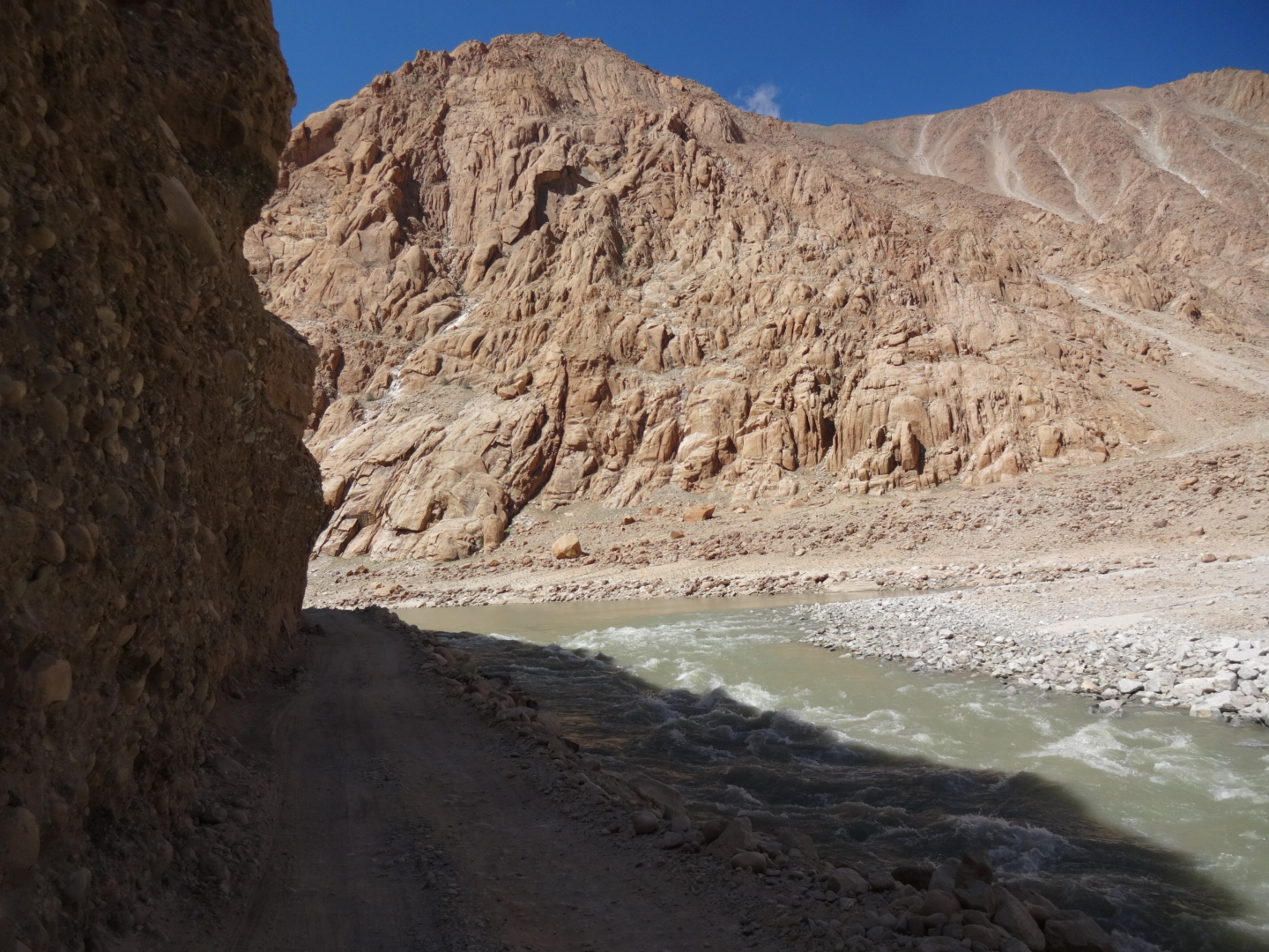
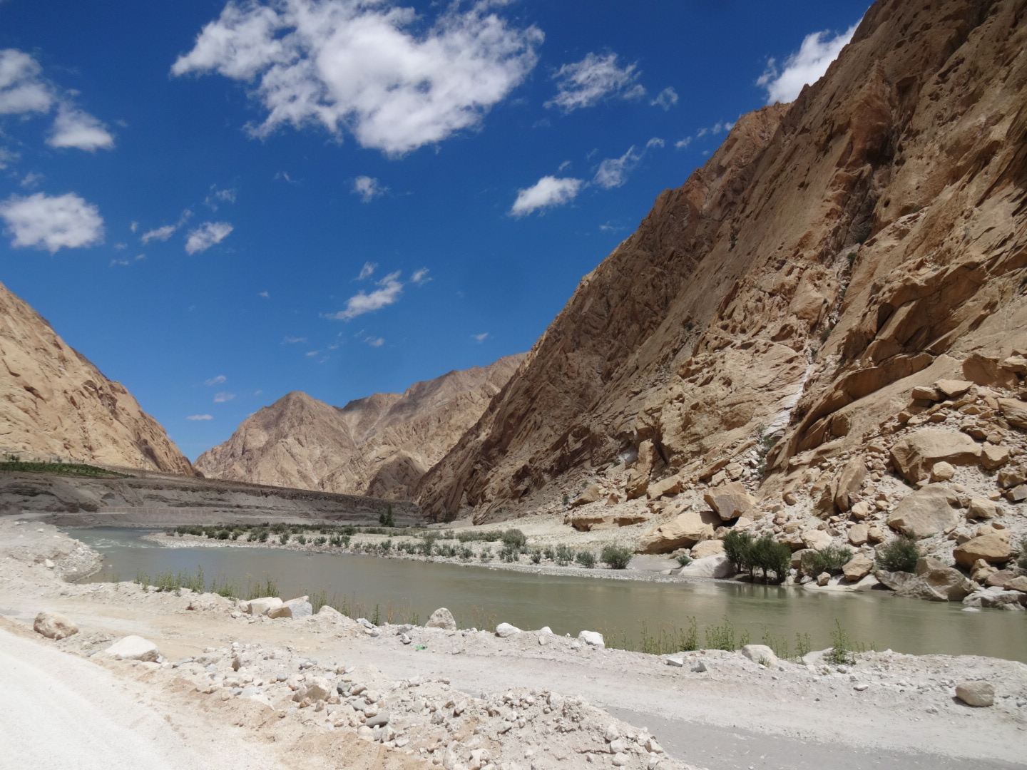
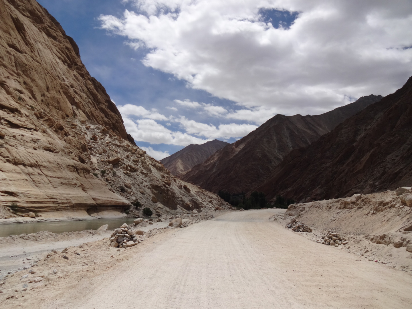
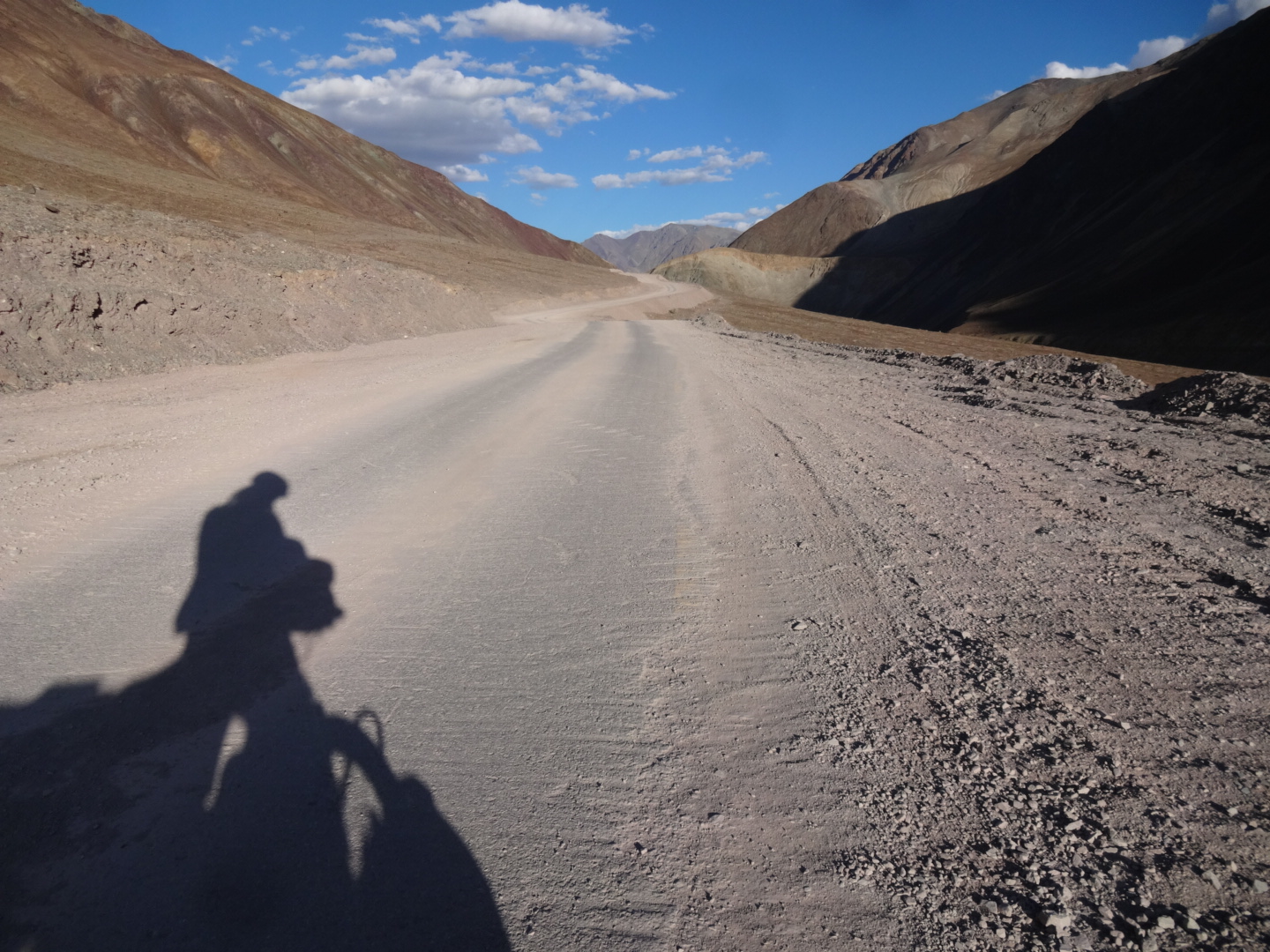
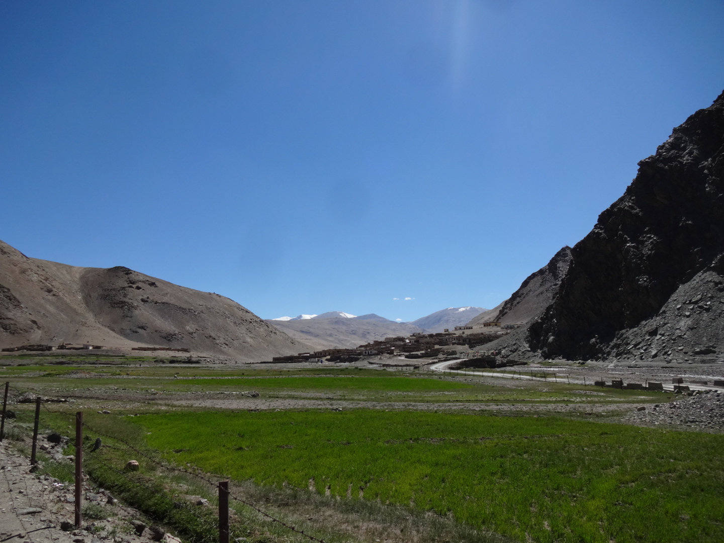
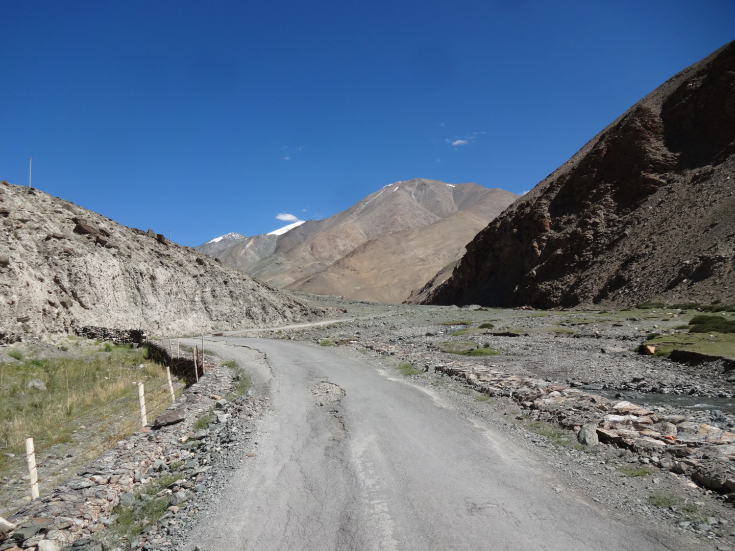
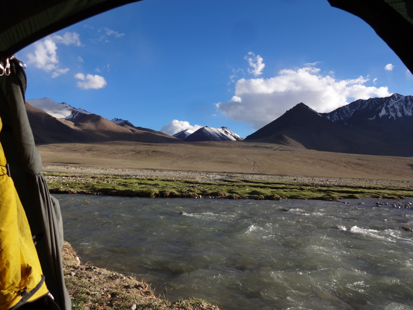
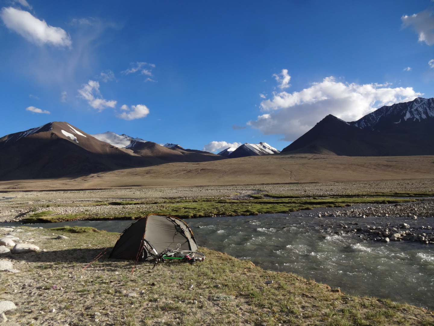
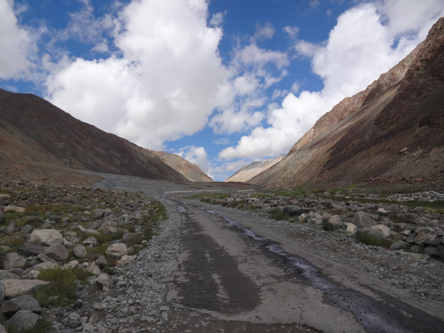
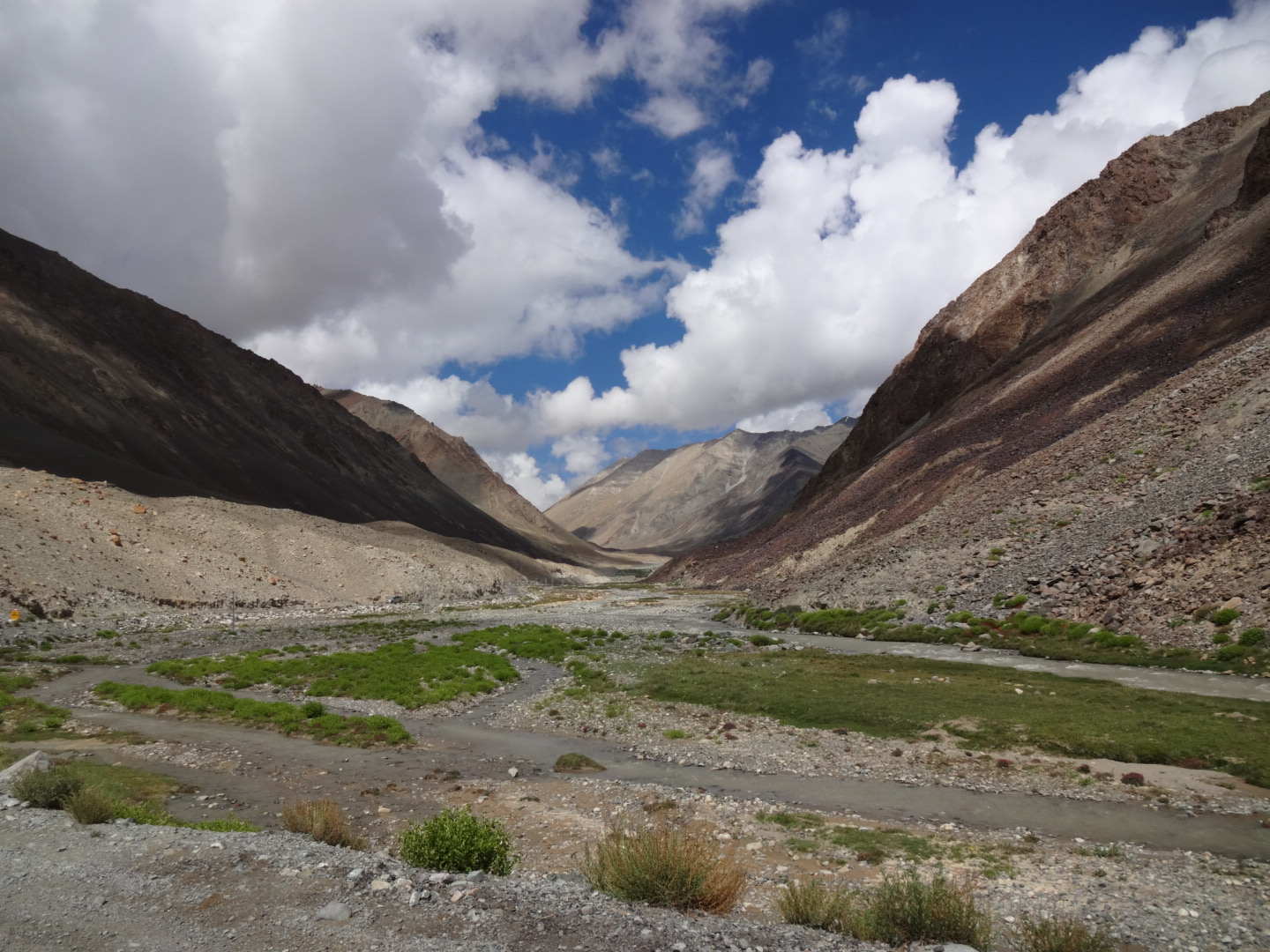
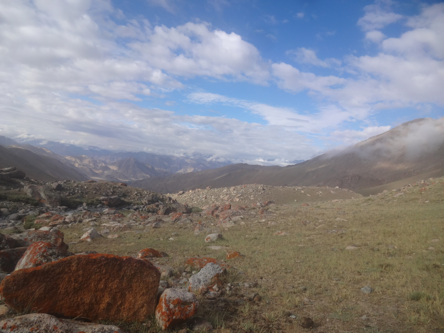
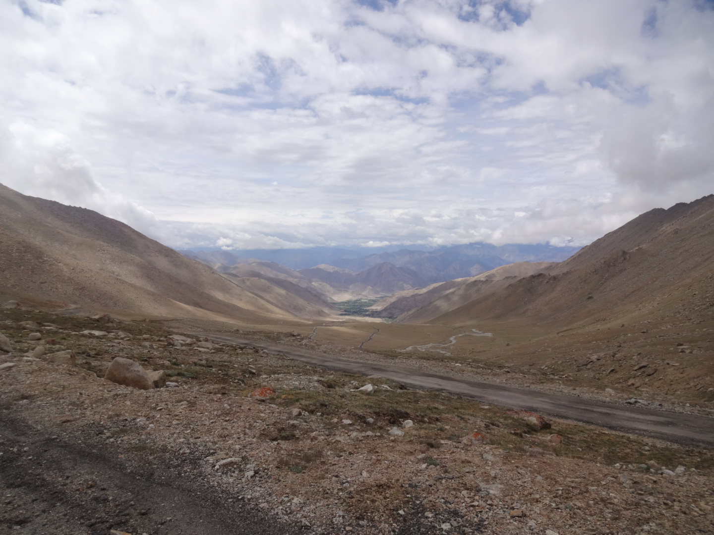
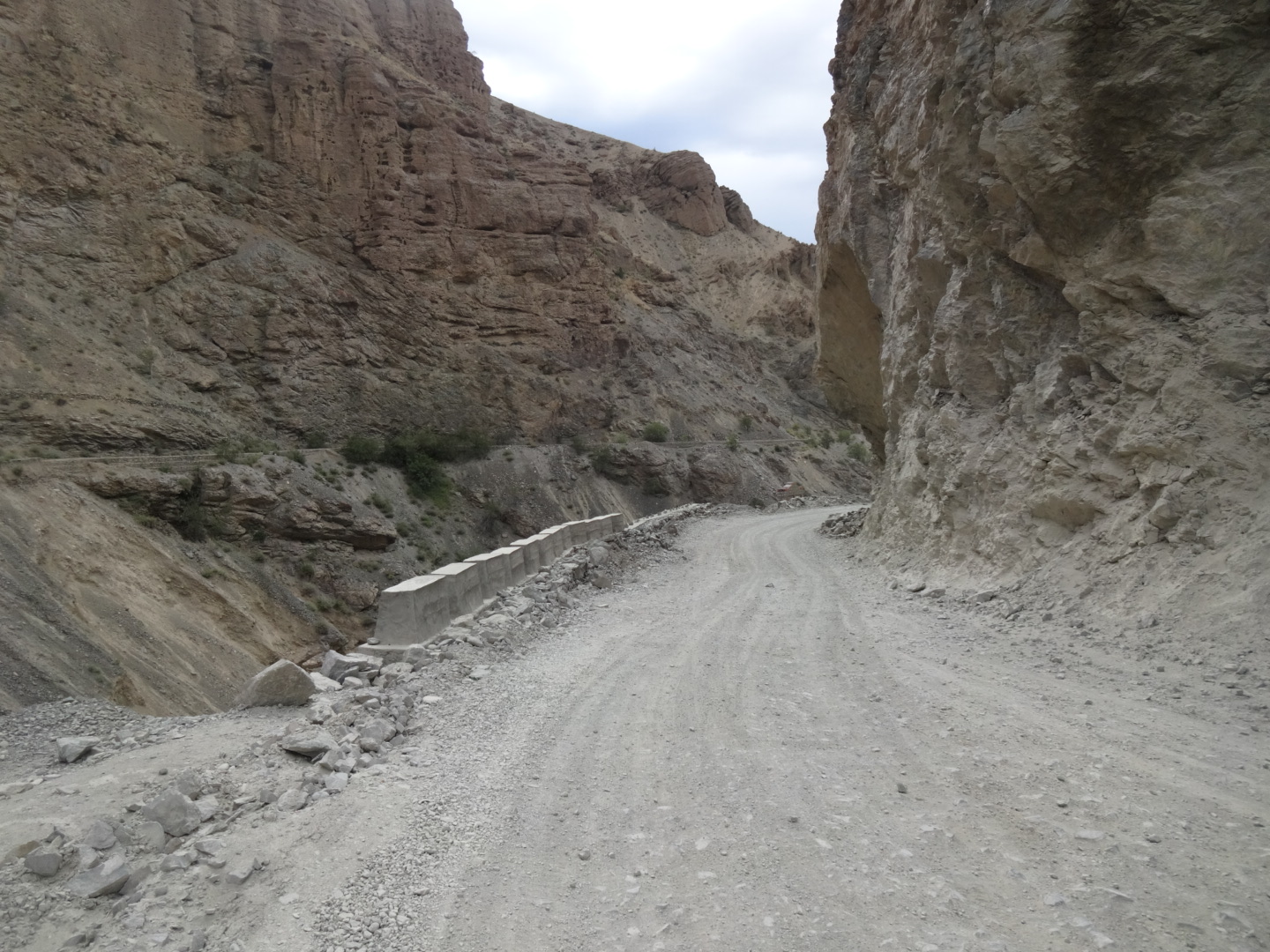
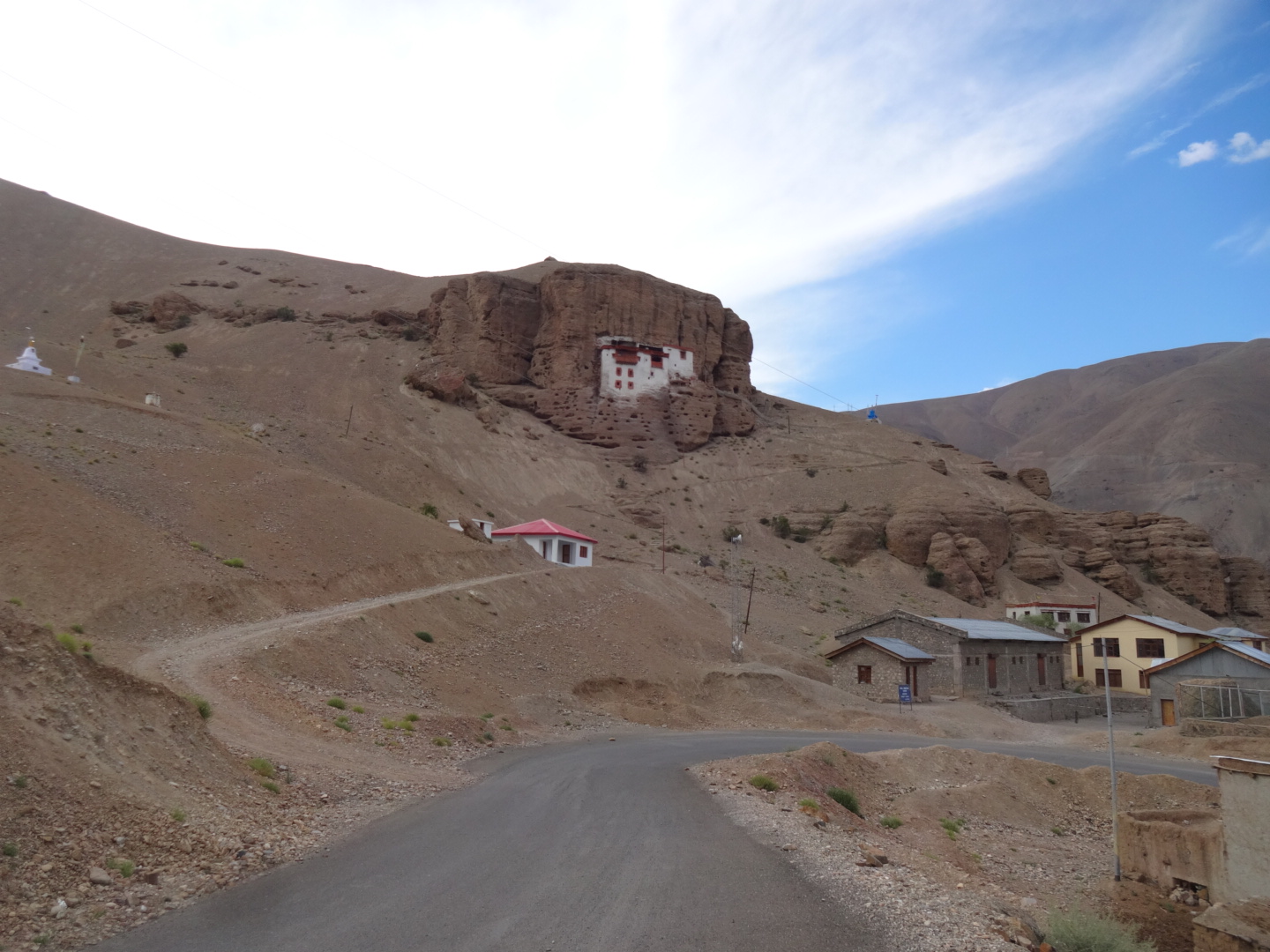
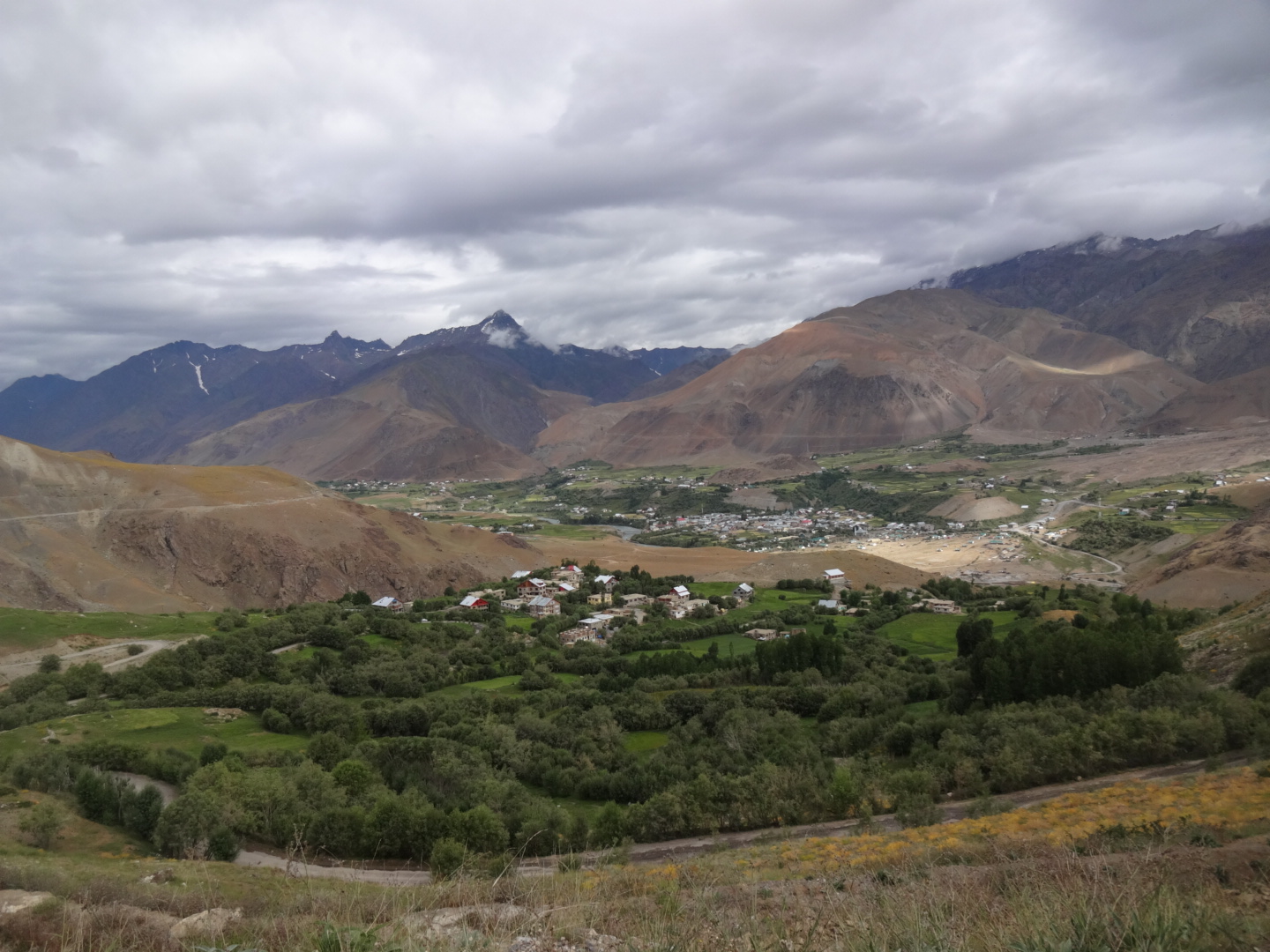
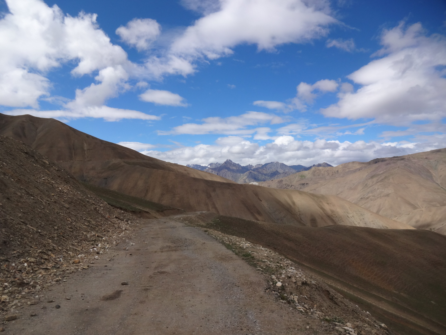
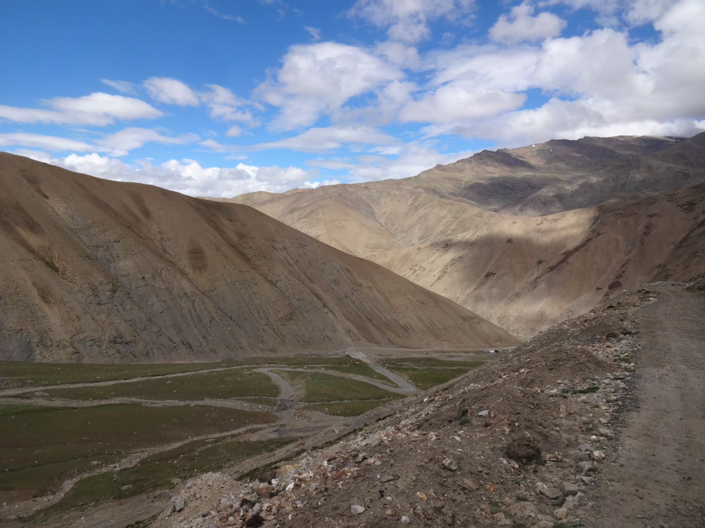
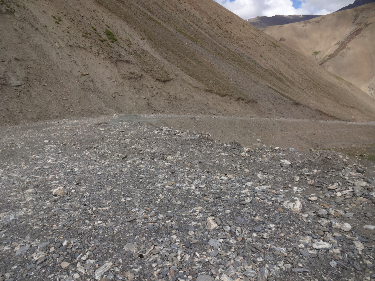
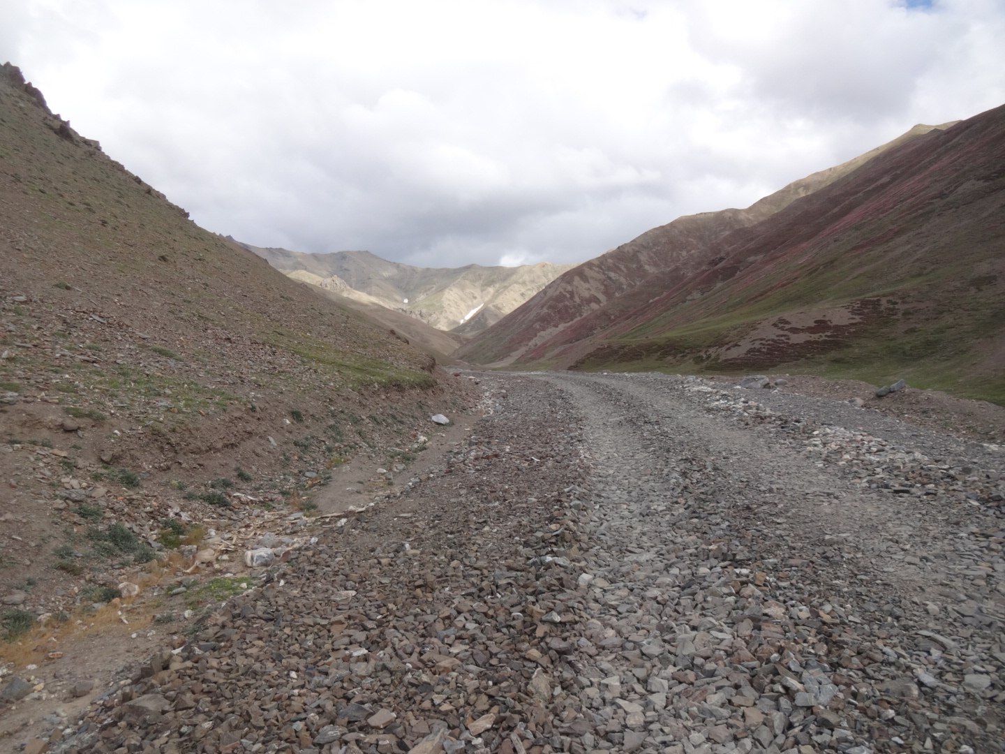
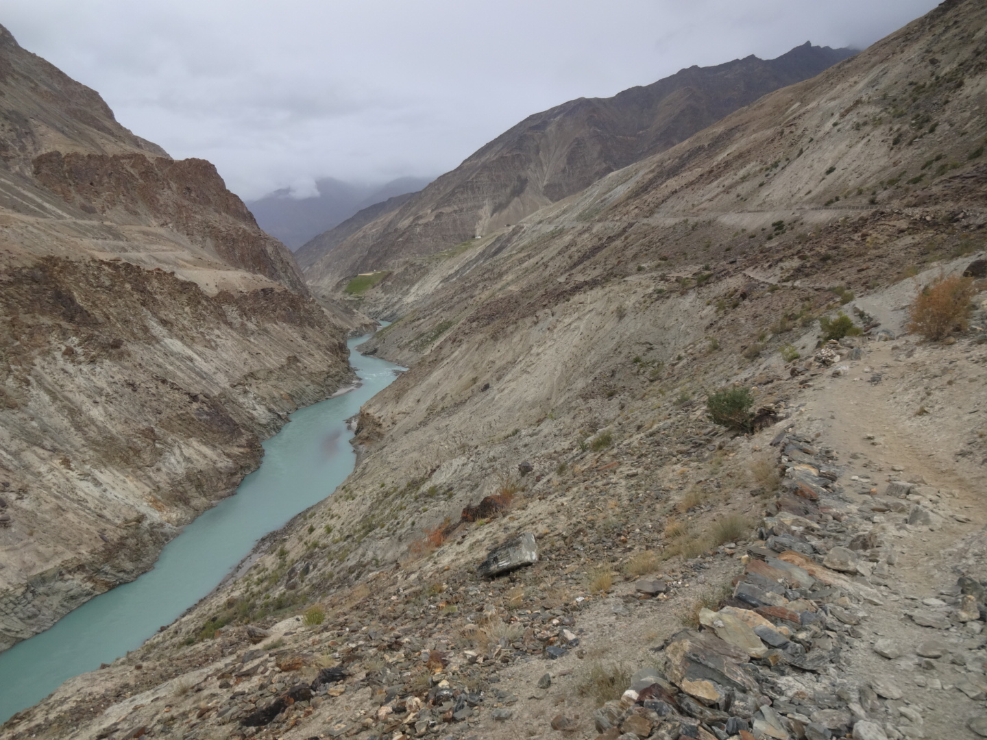
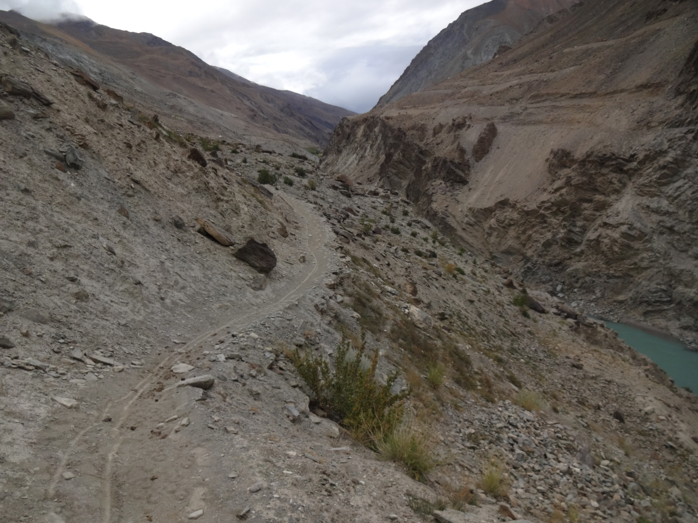
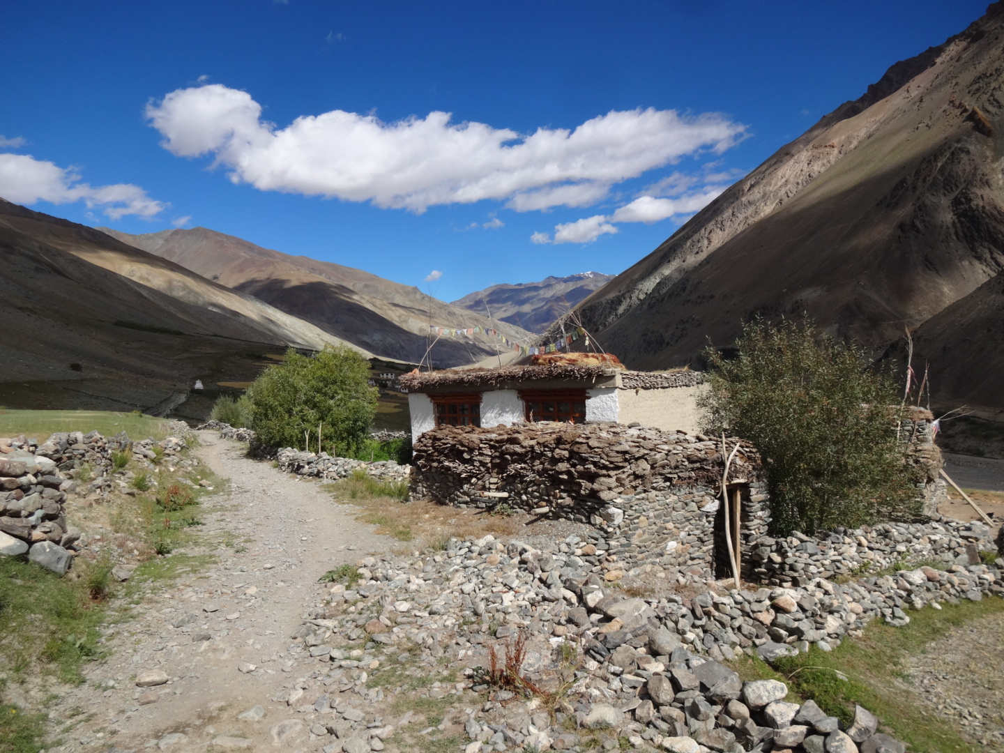
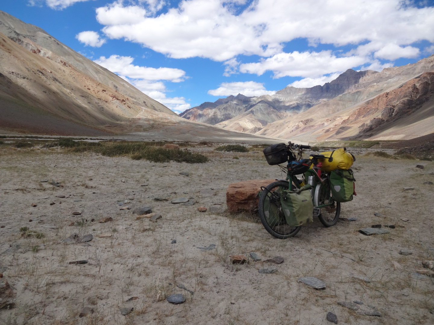
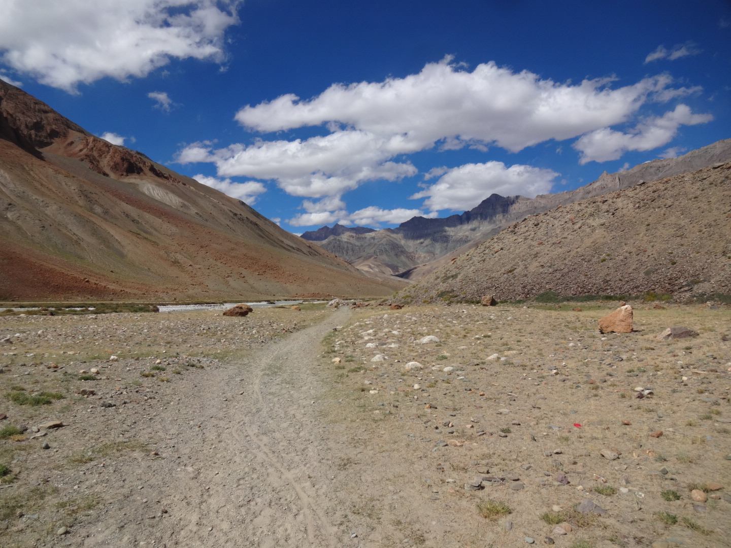
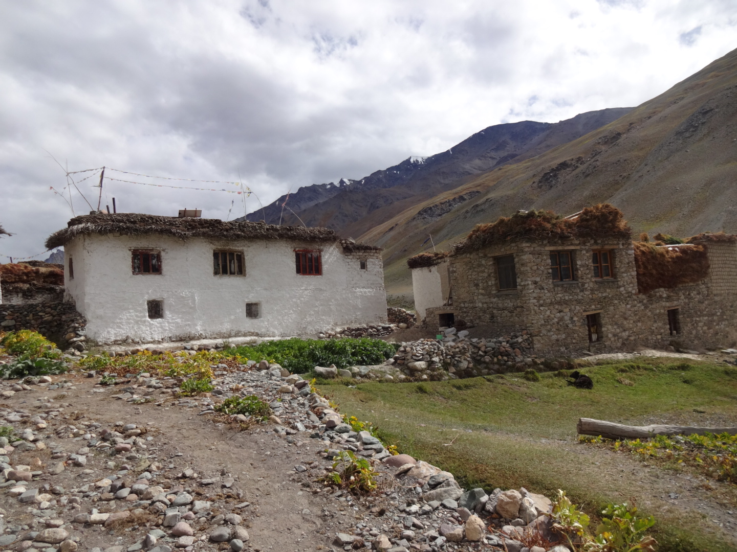
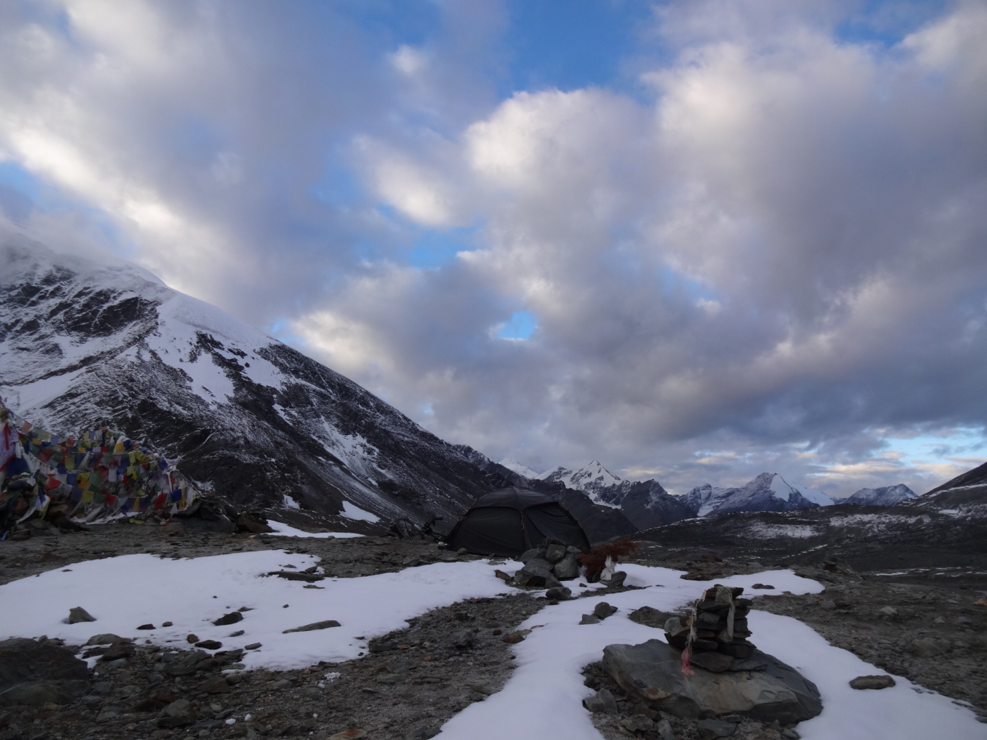
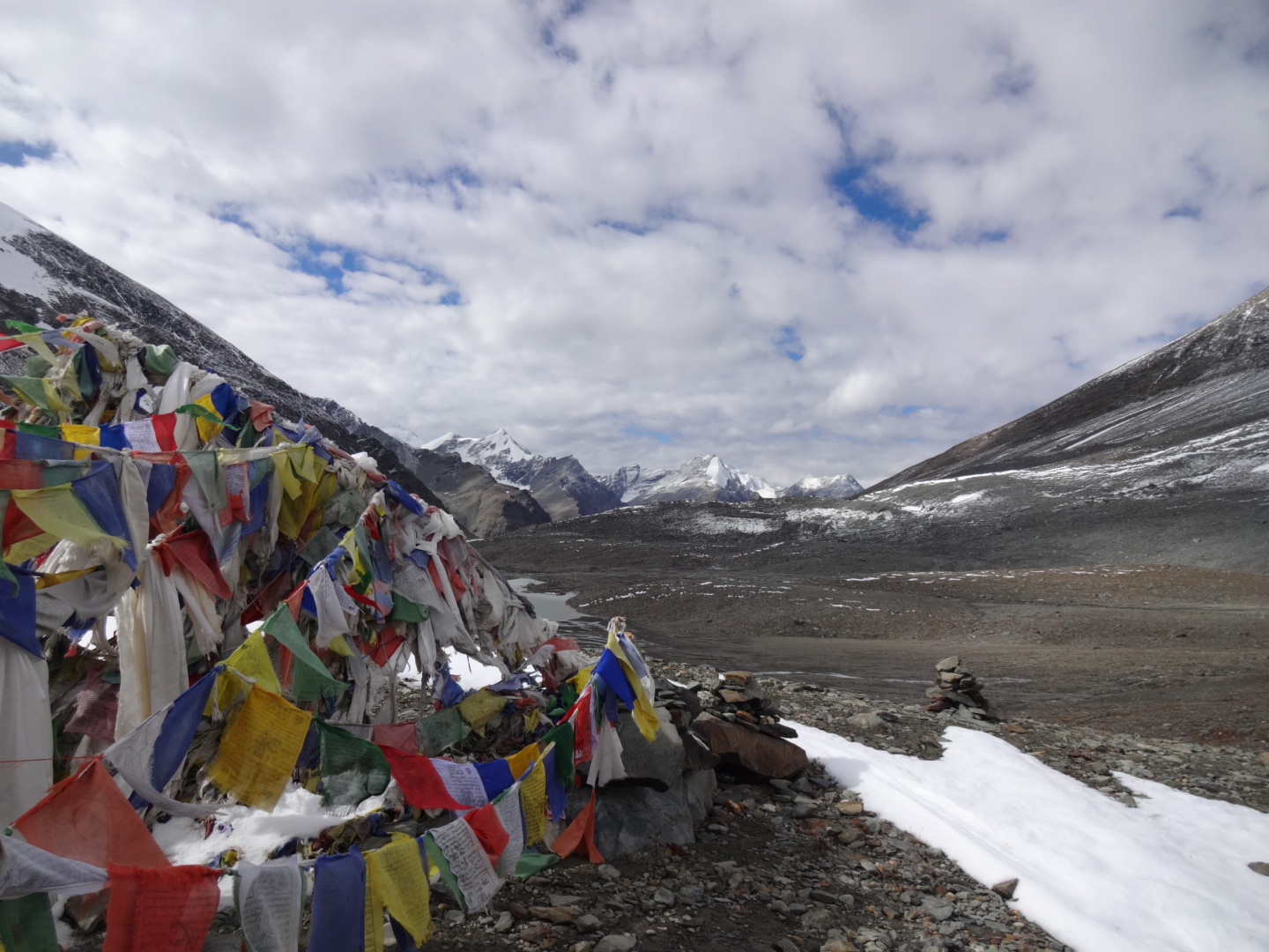
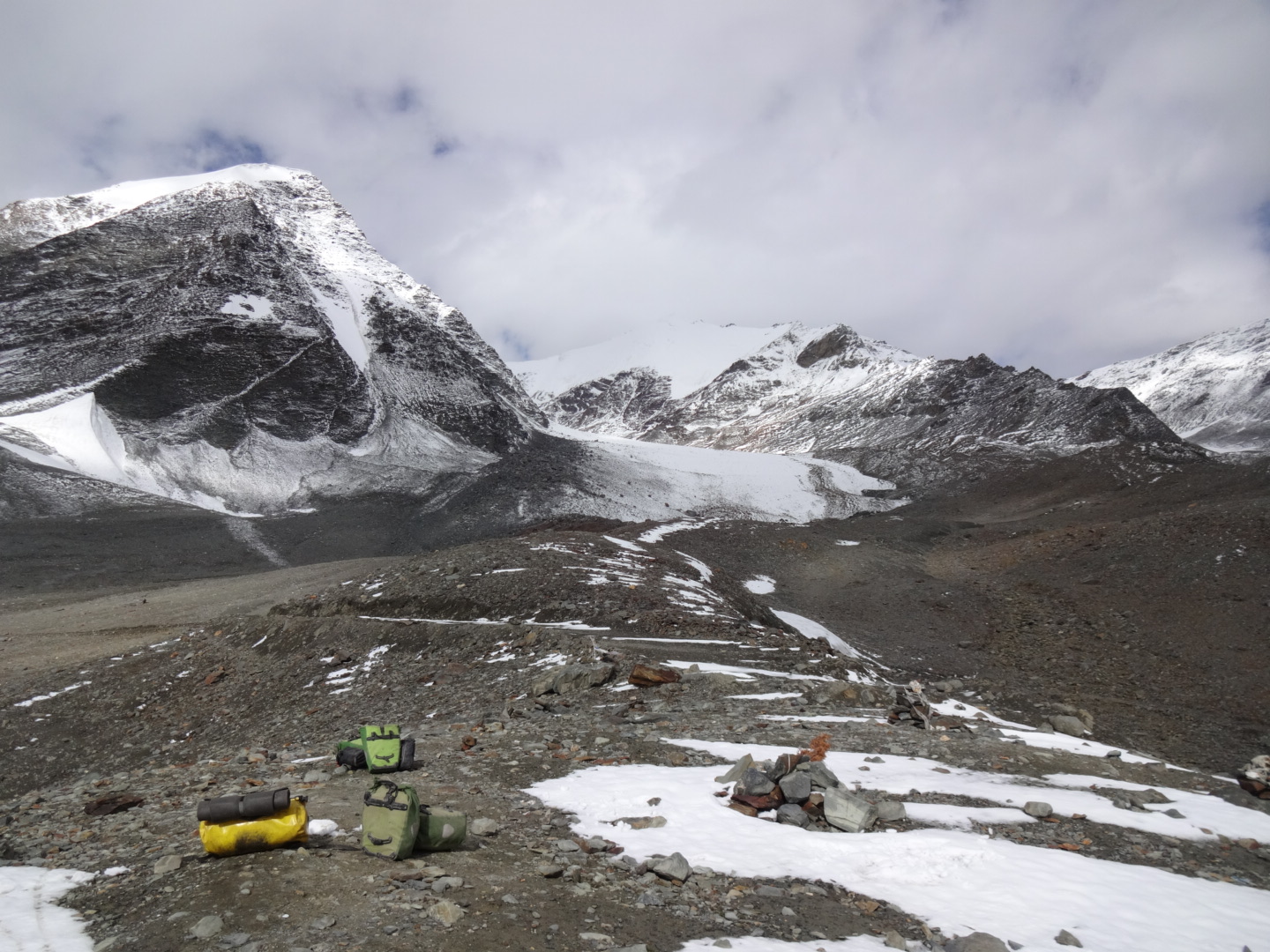
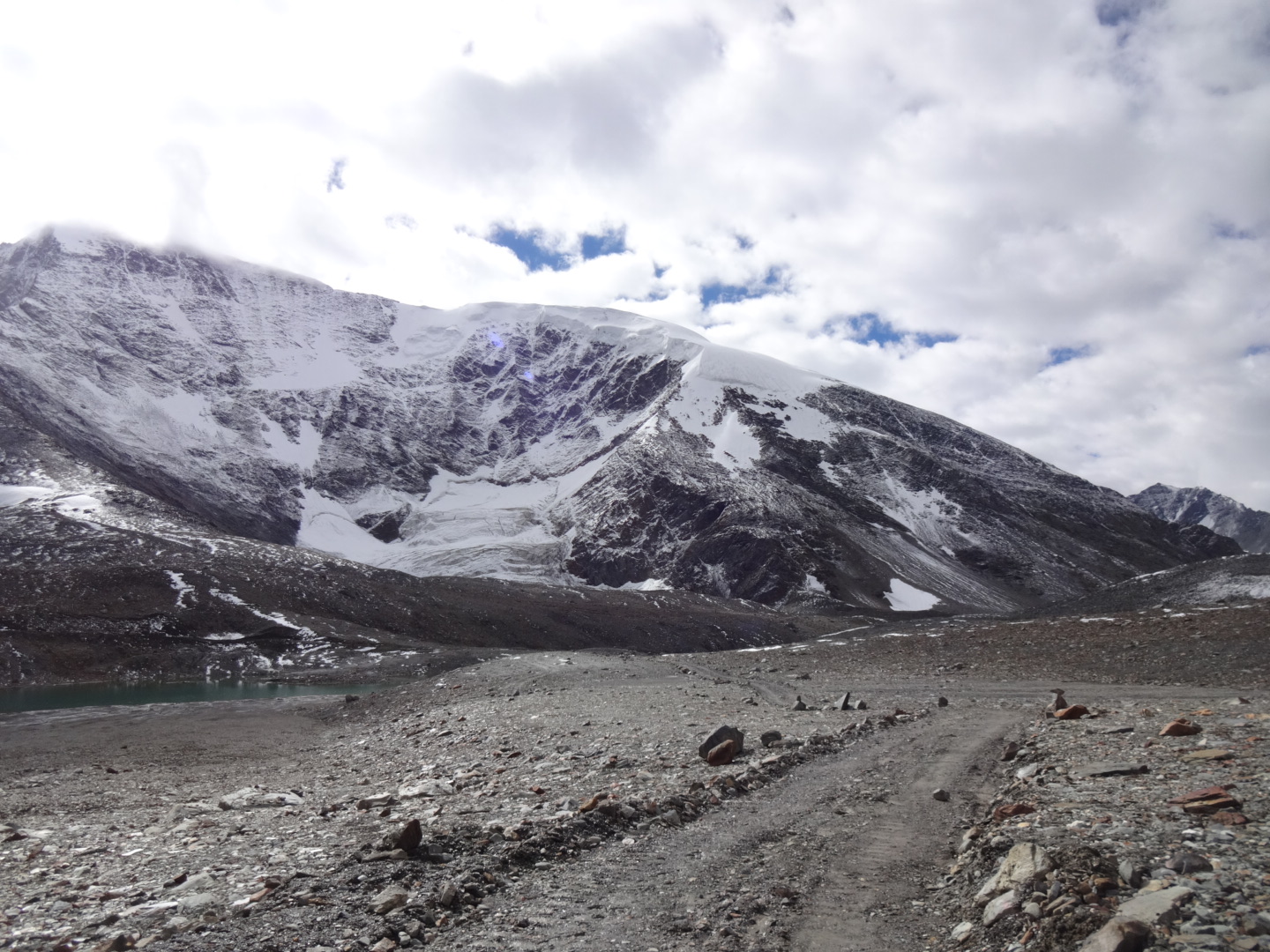
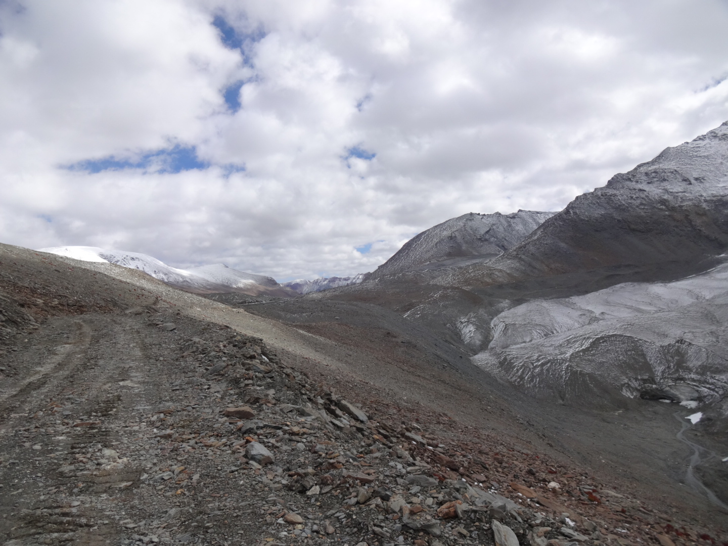
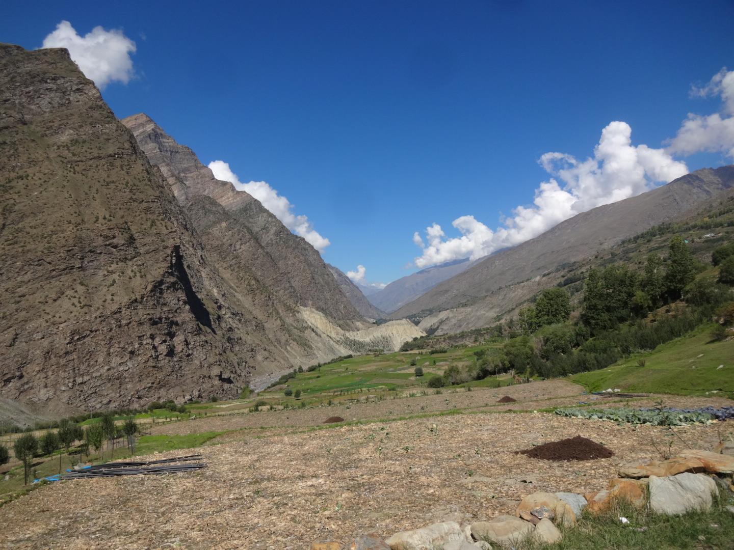
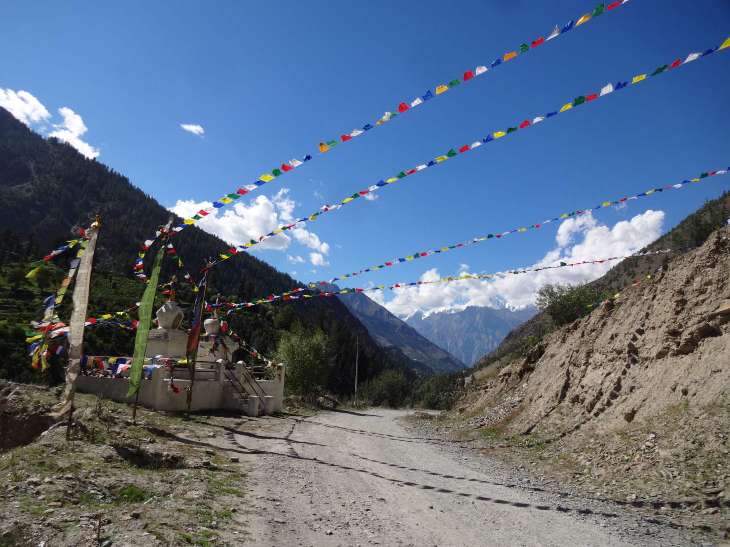
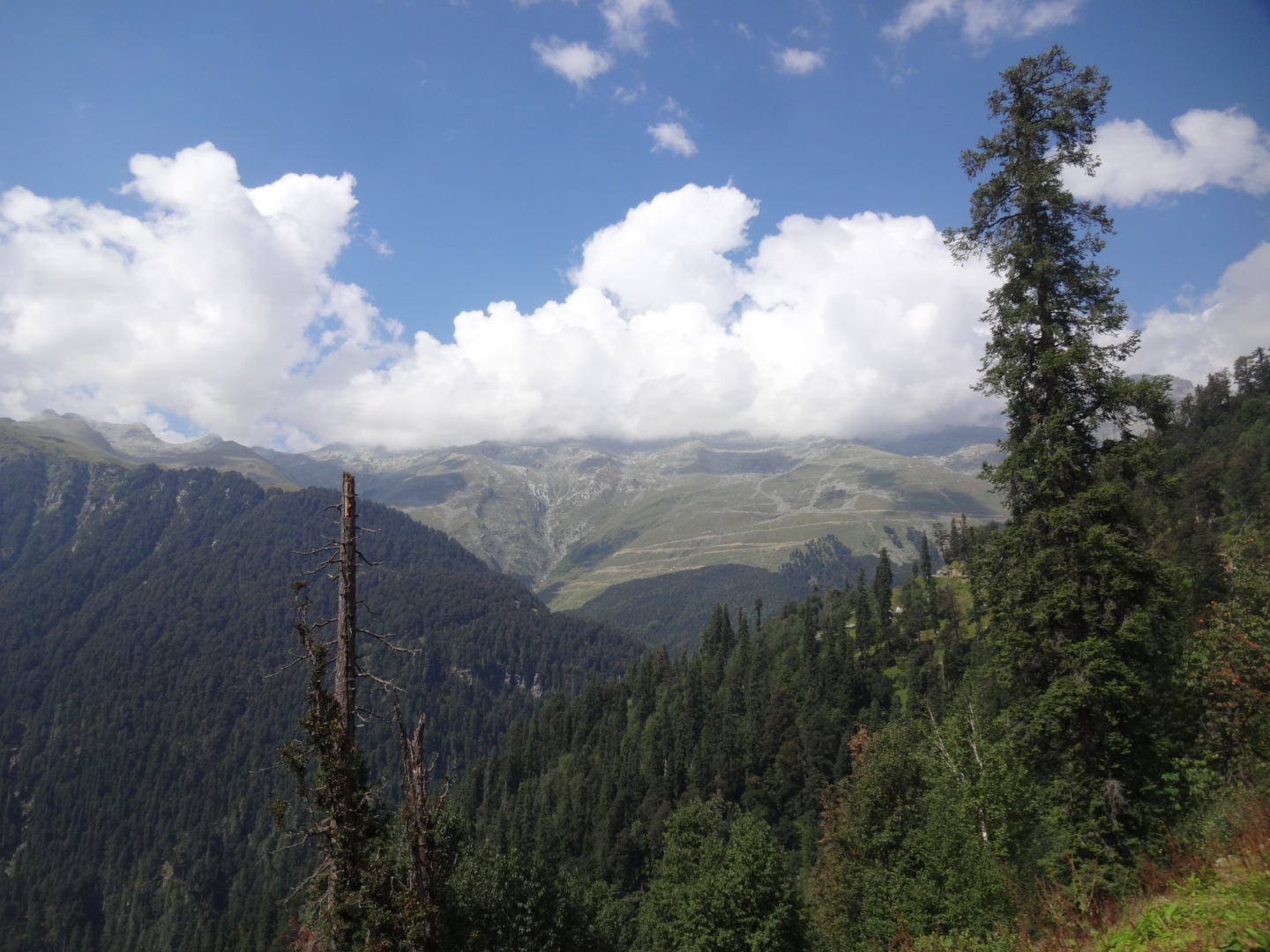
**** Zanskar Valley (Kargil – Penzi La – Padum – Amnu) (August 2016)
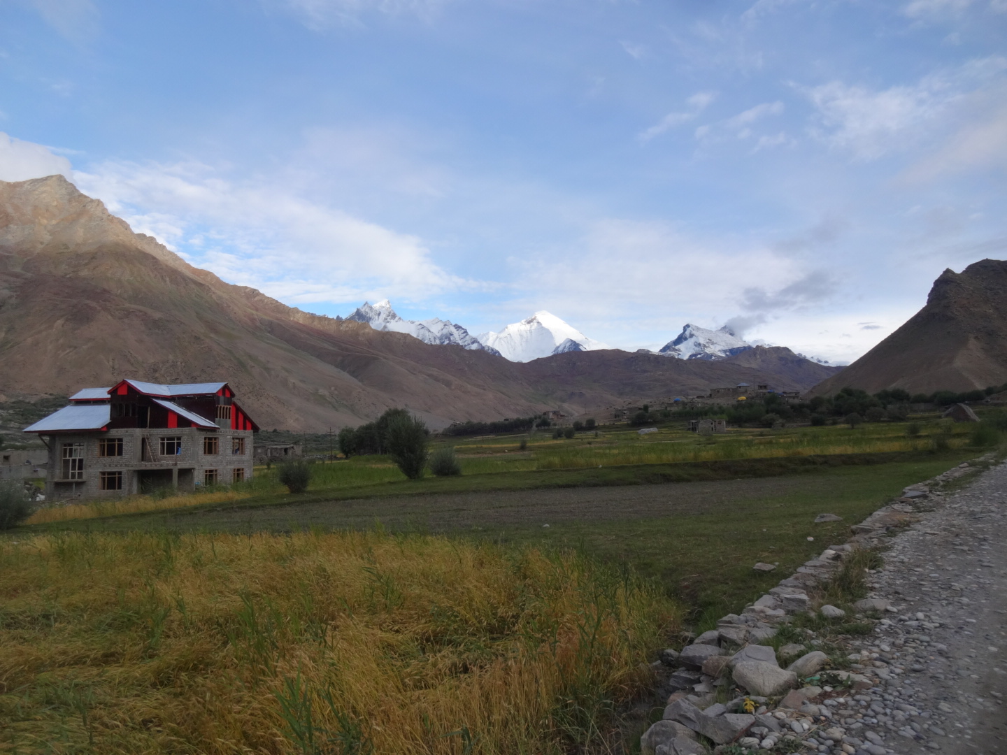
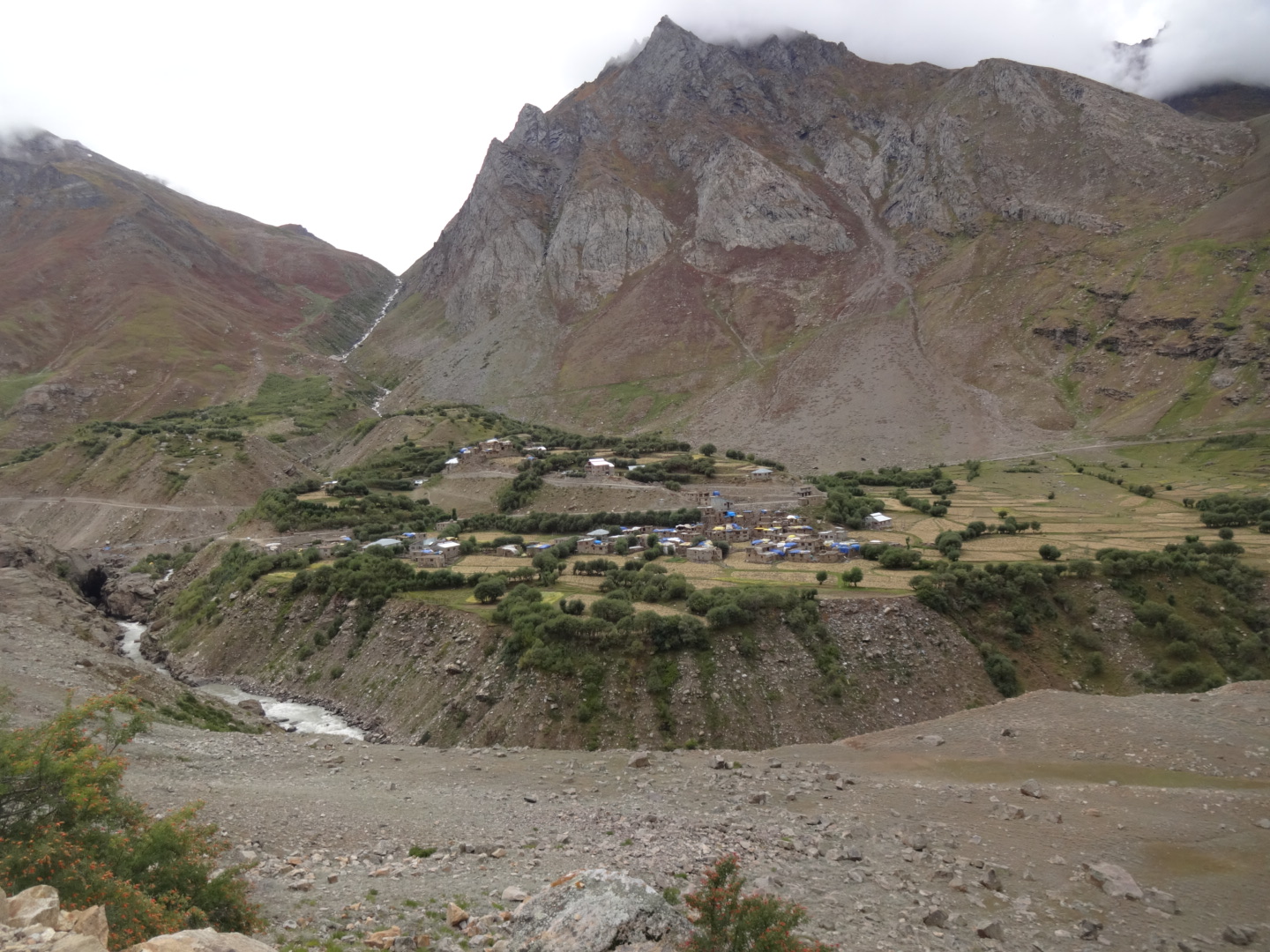
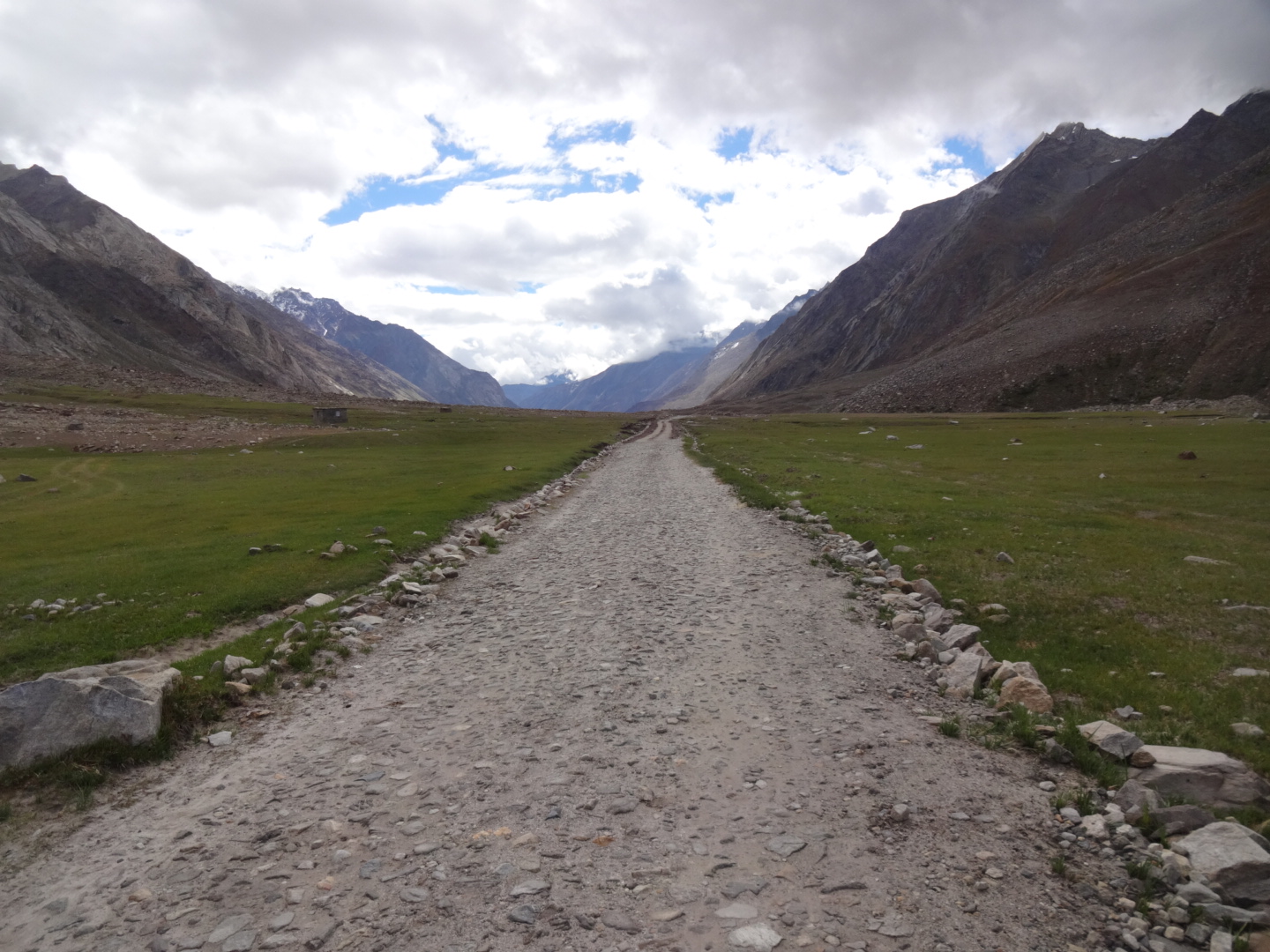
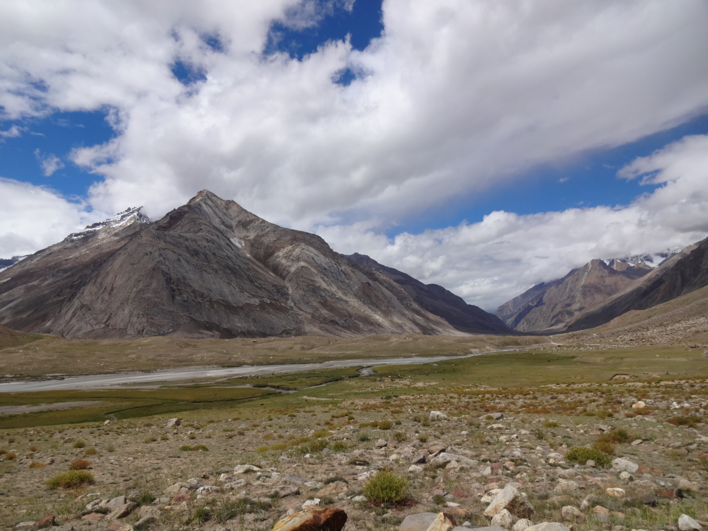
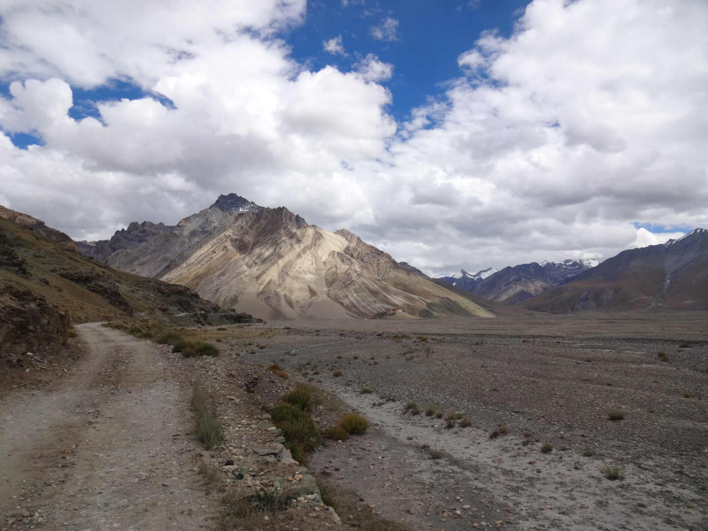
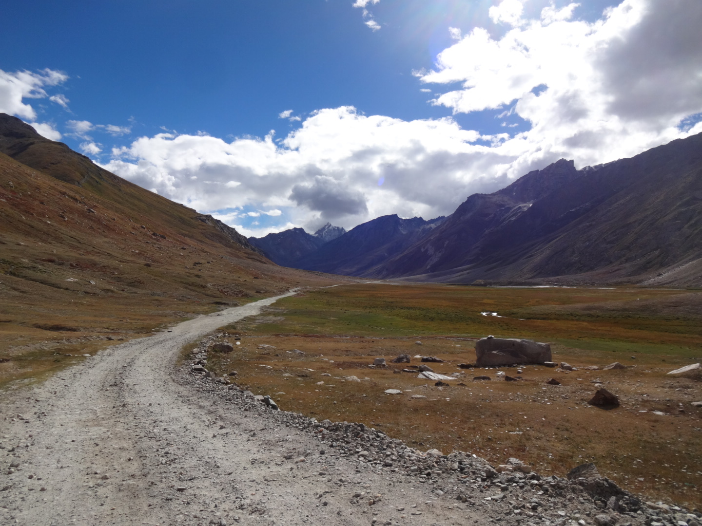
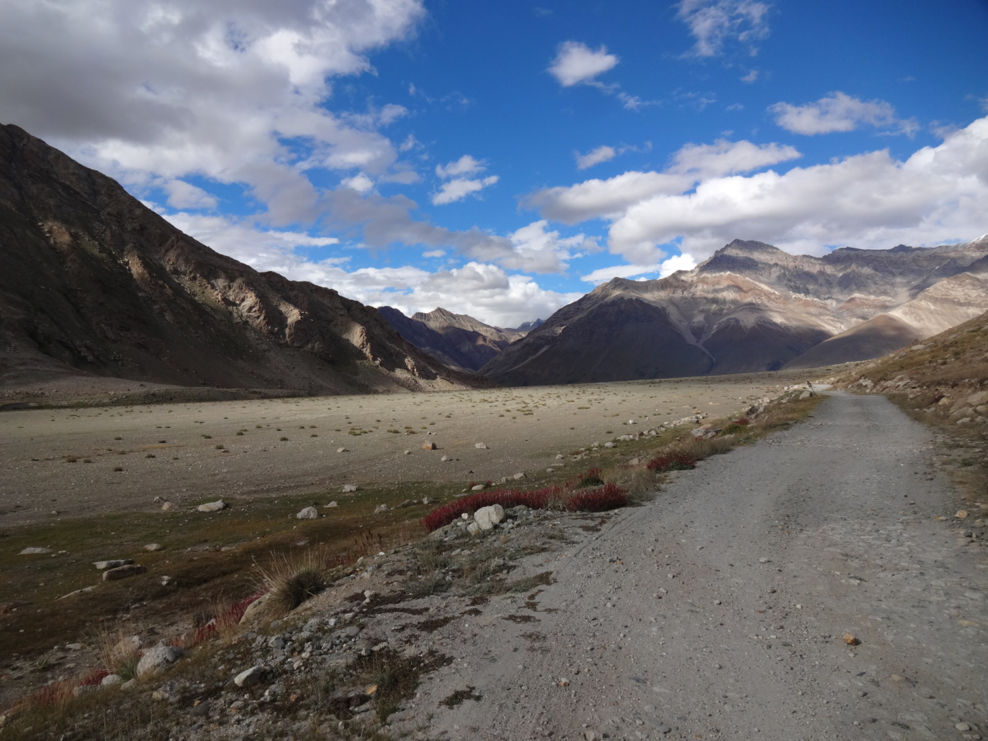
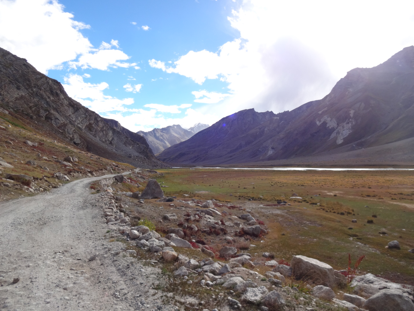
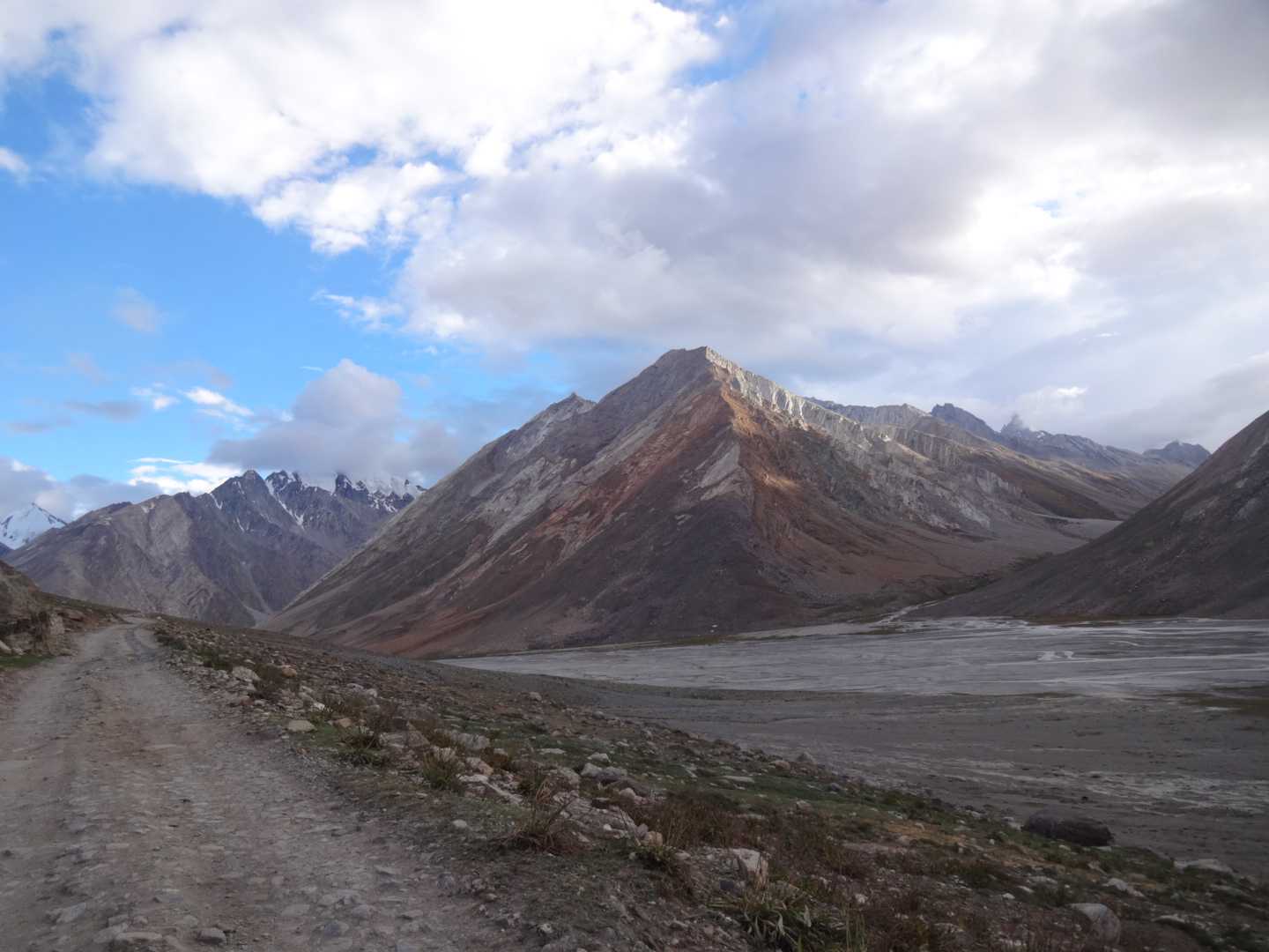
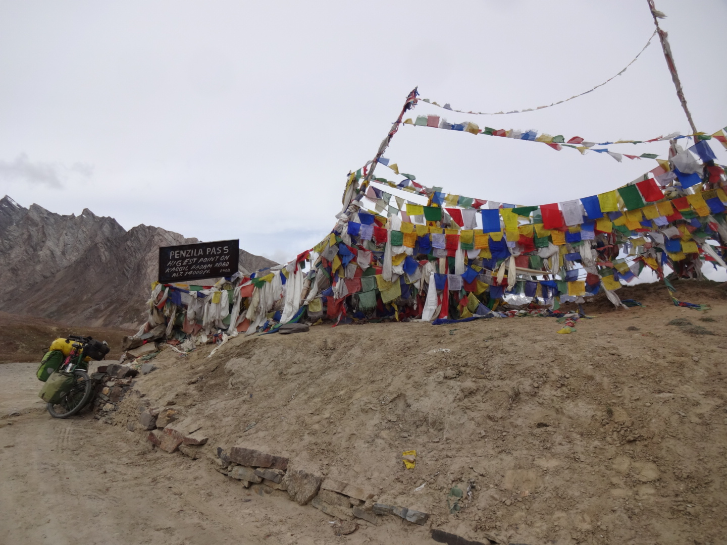
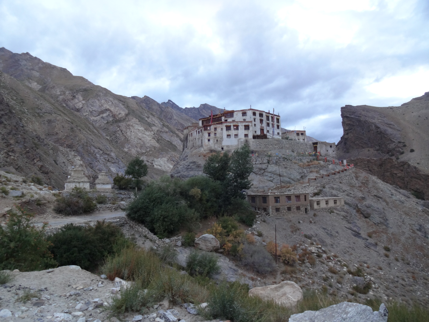
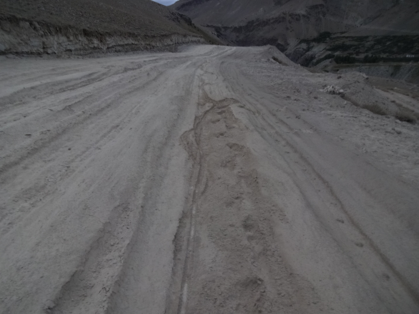
the road is paved in the beginning and the tarmac is in good condition there. after sanko, the quality of the tarmac gets worse and the road turns into a rough dirt road with several river crossings. the climb to penzi la is not steep. there is a petrol station at padum (few km outside of the village). the road from padum to amnu is not paved.
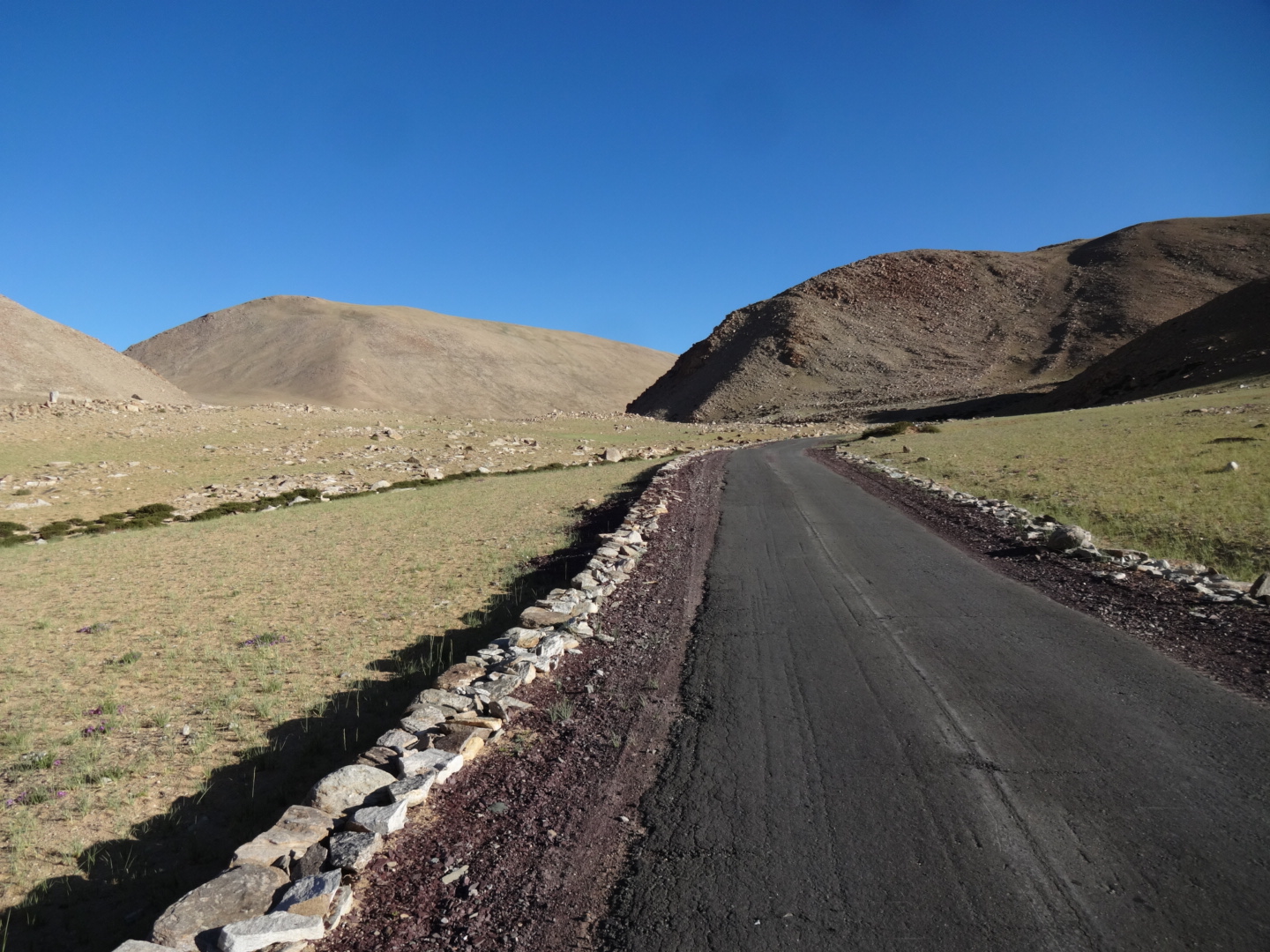
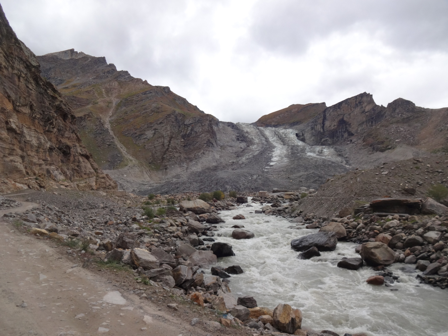
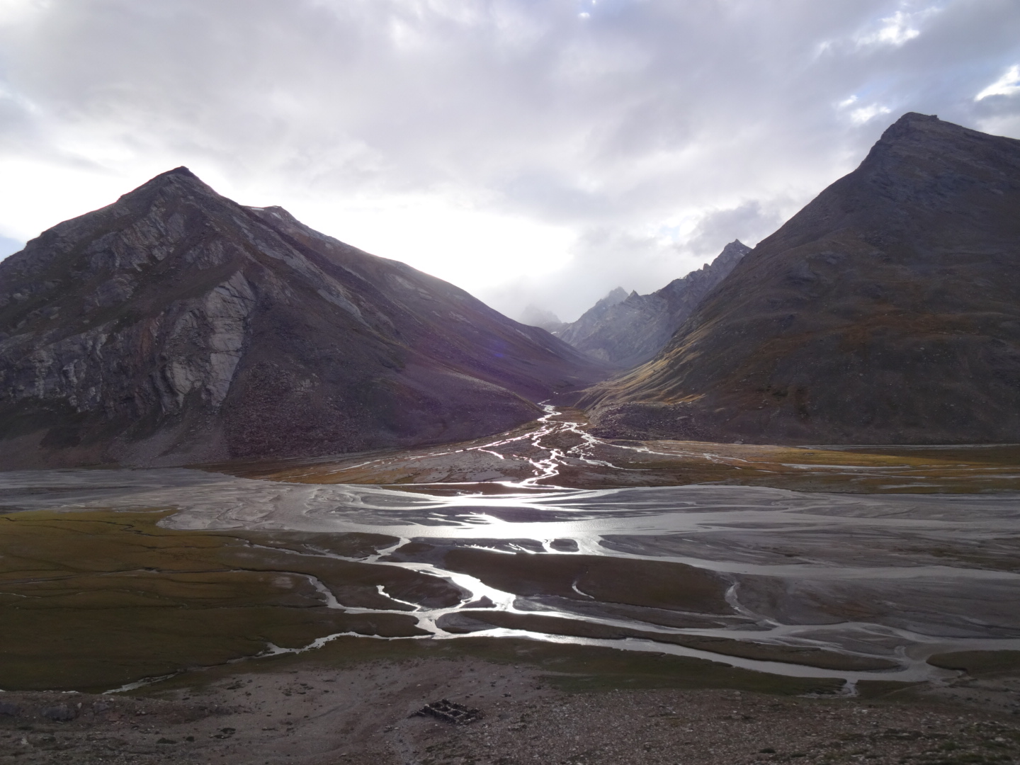
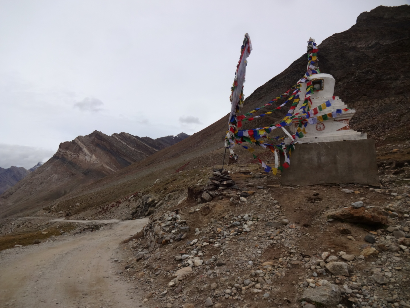
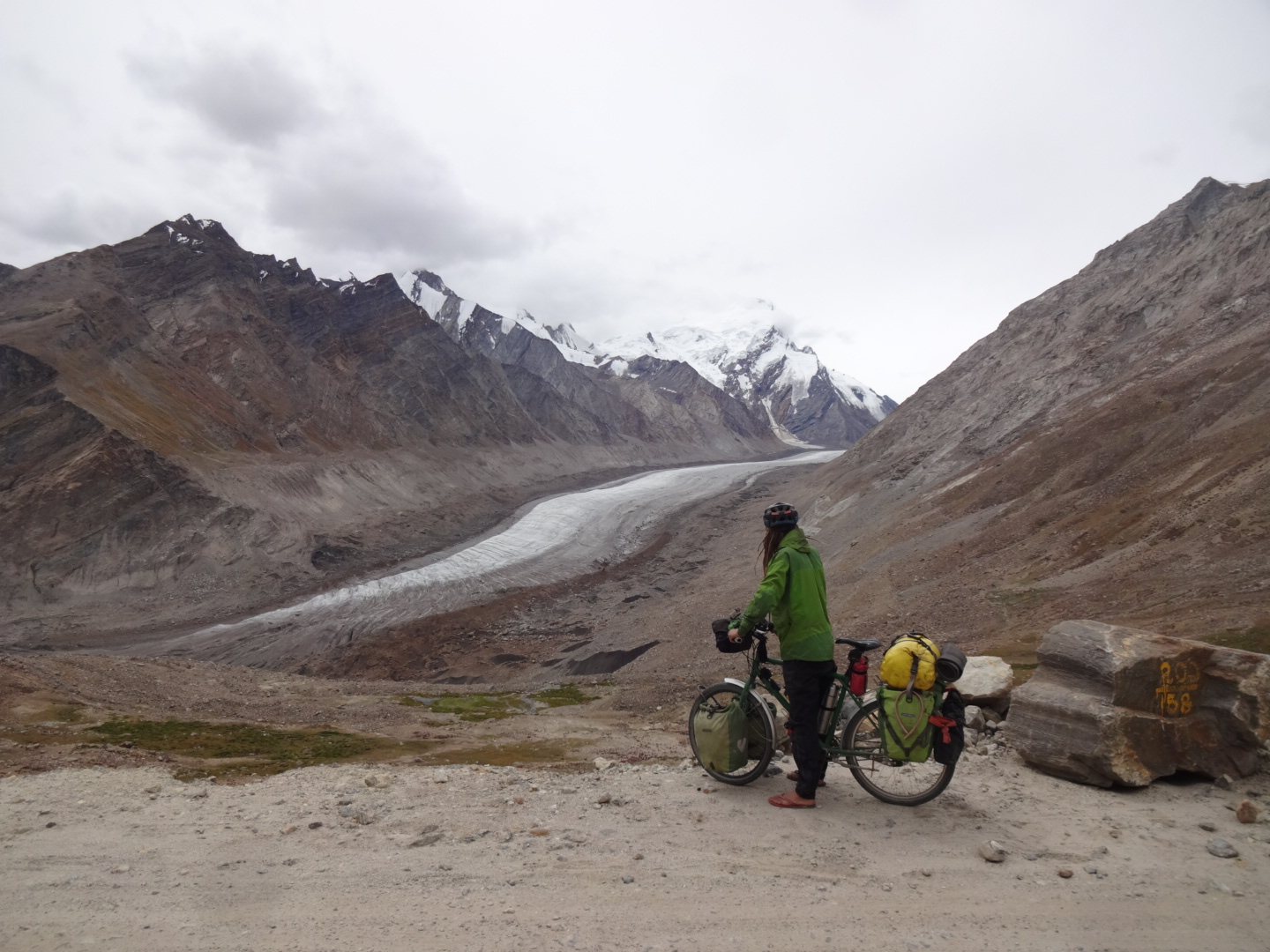
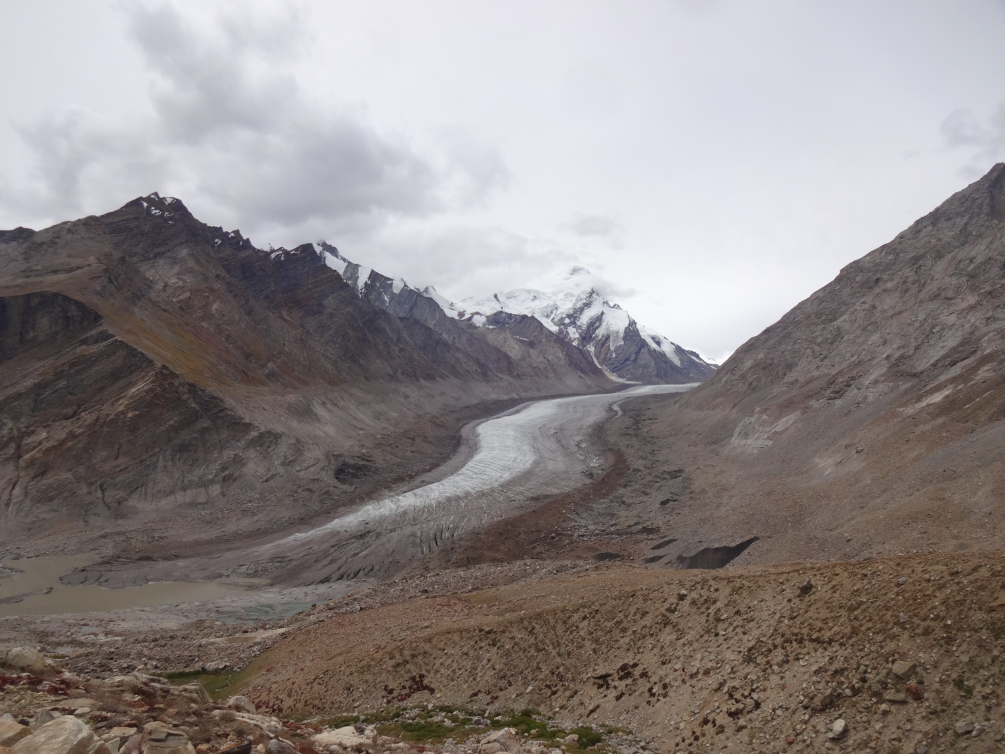
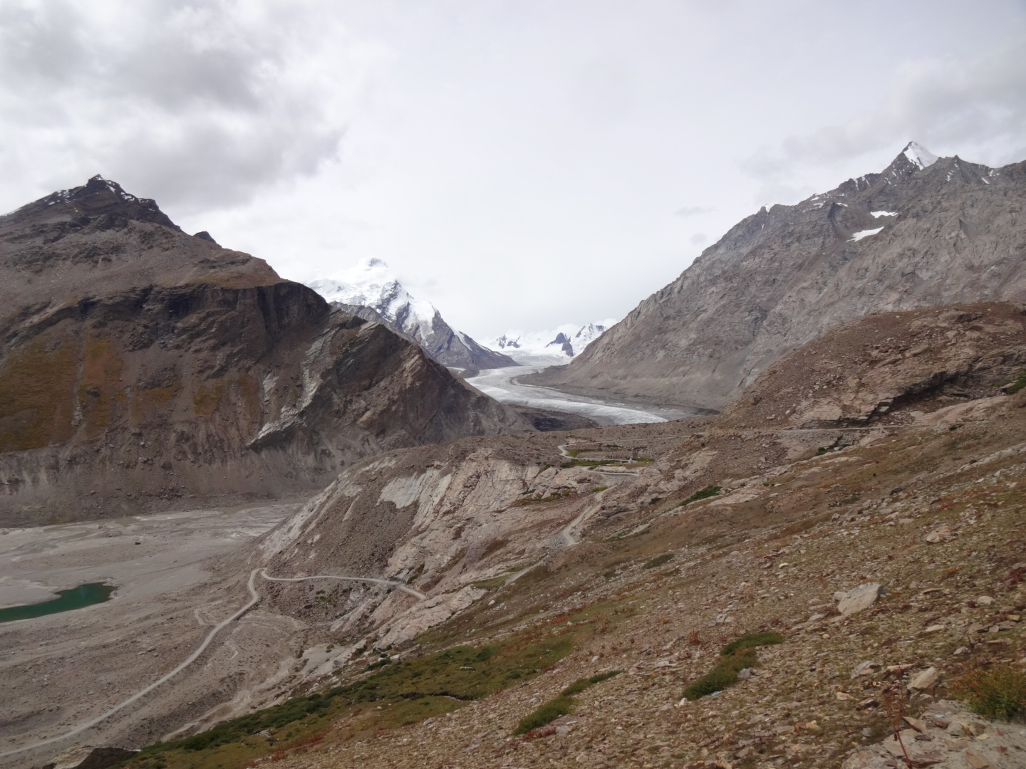
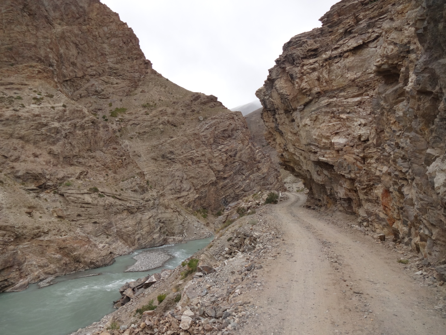
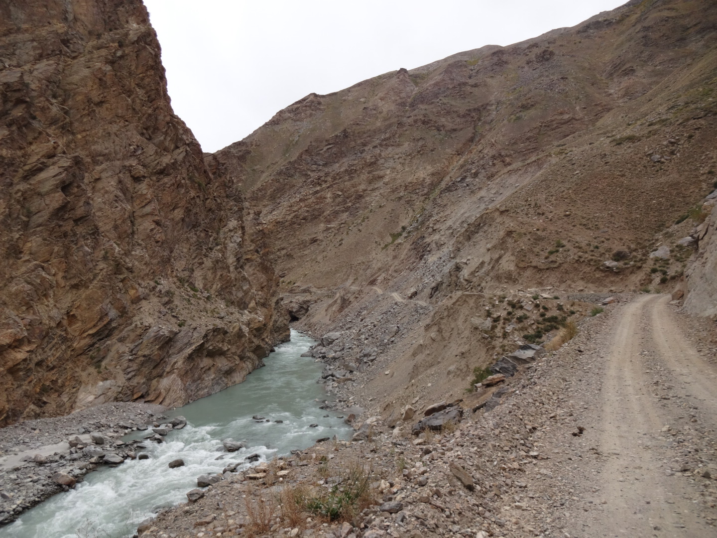
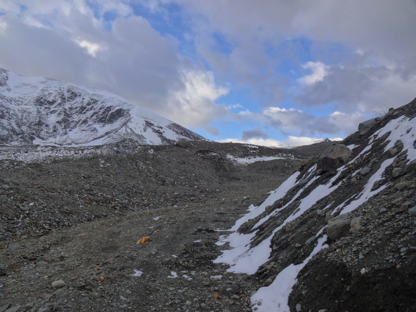
***** Amnu – Shingo La – Darcha (Hike & Bike) (August/September 2016)
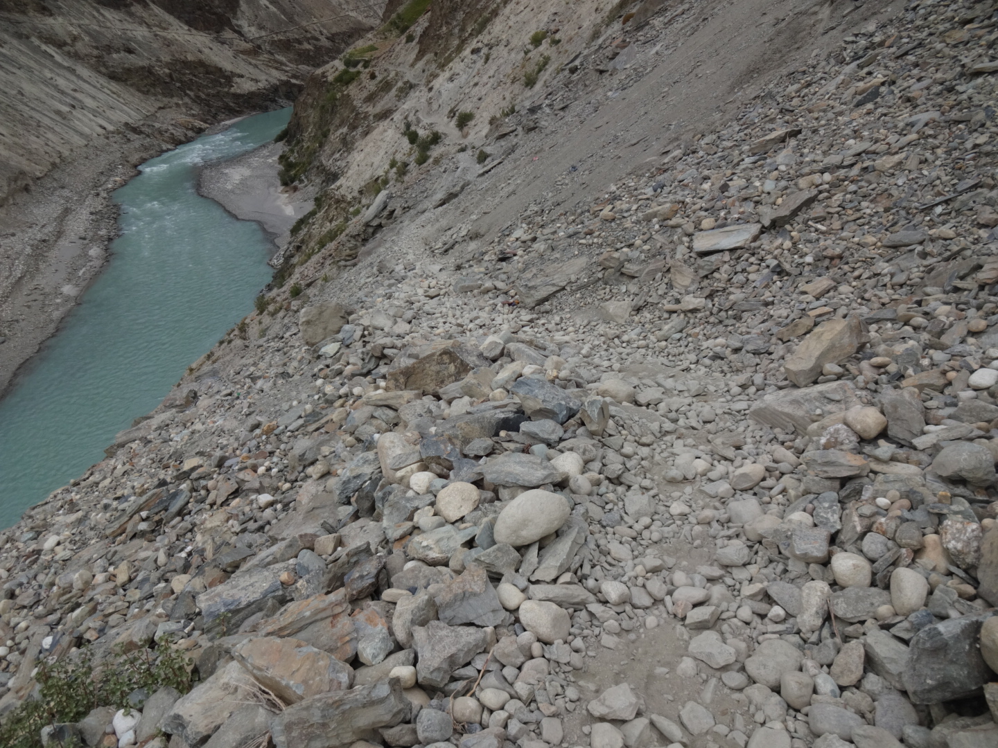
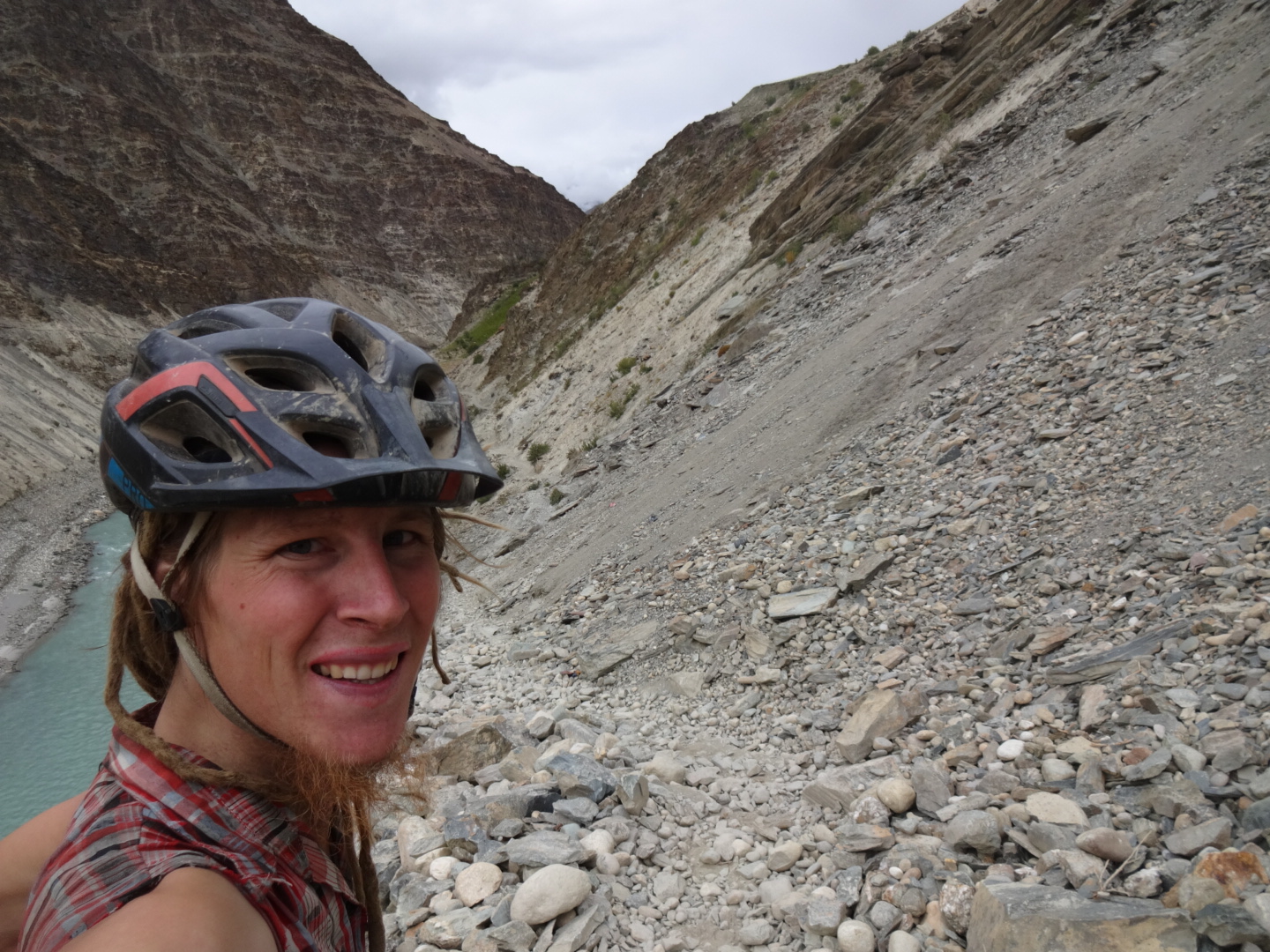
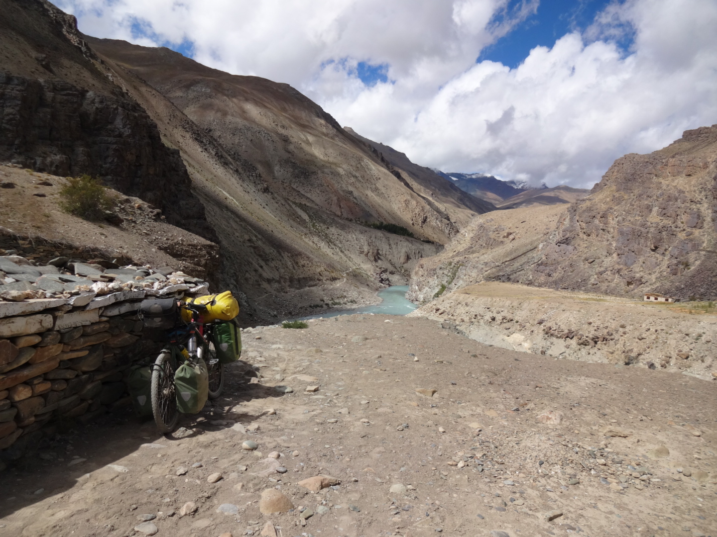
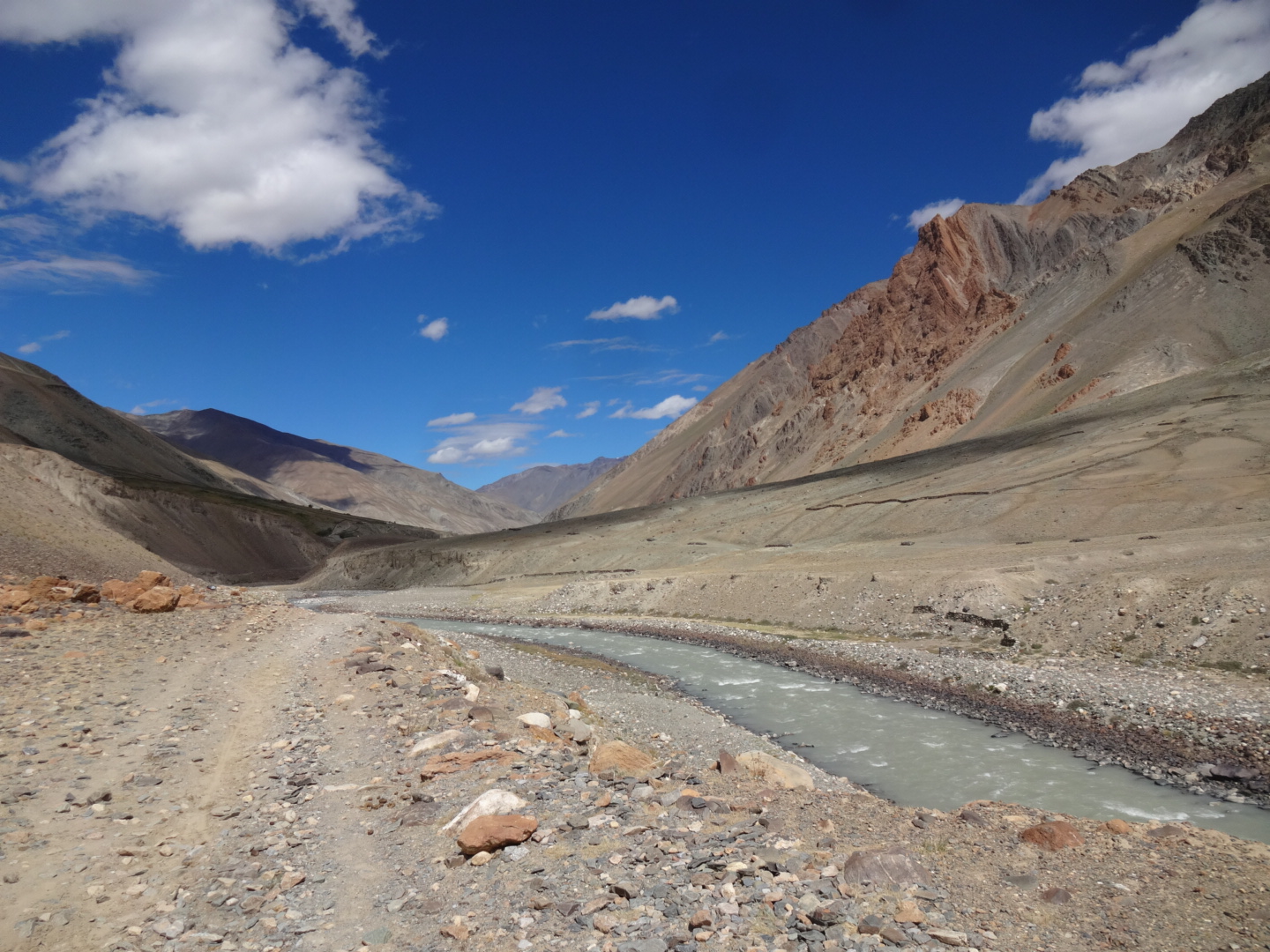
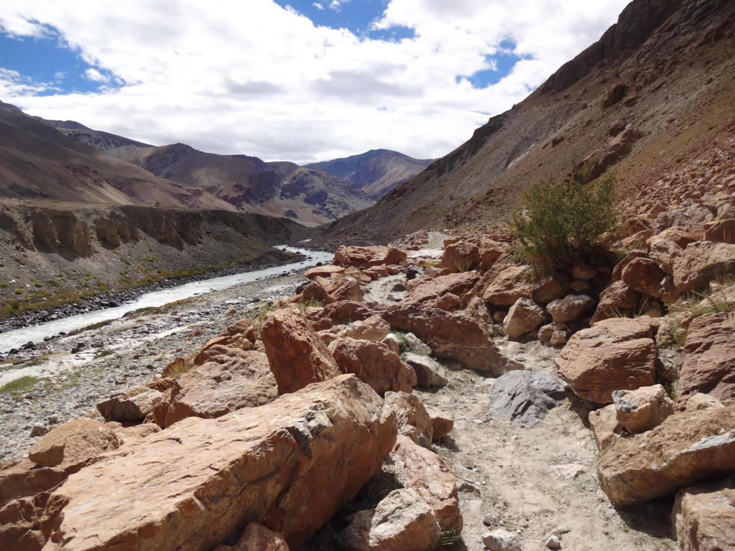
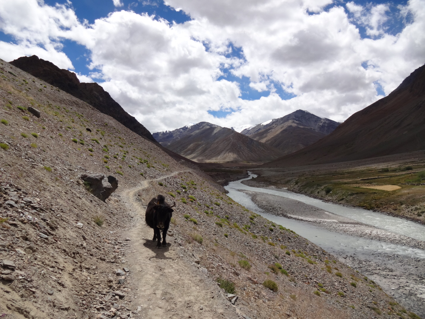
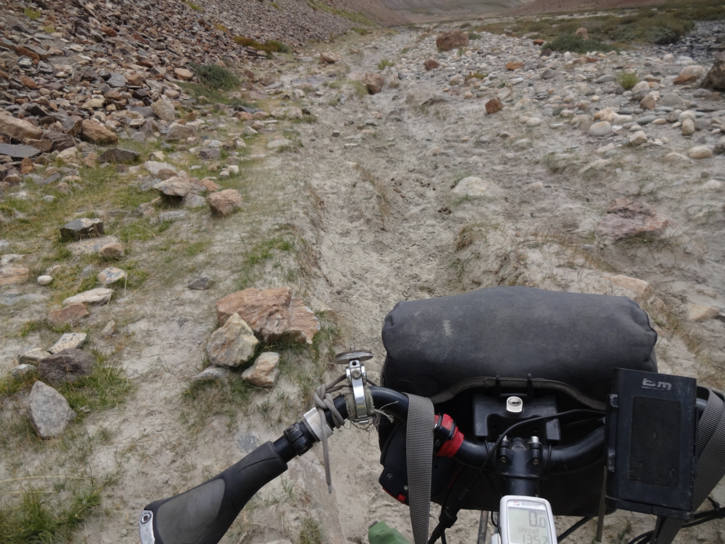
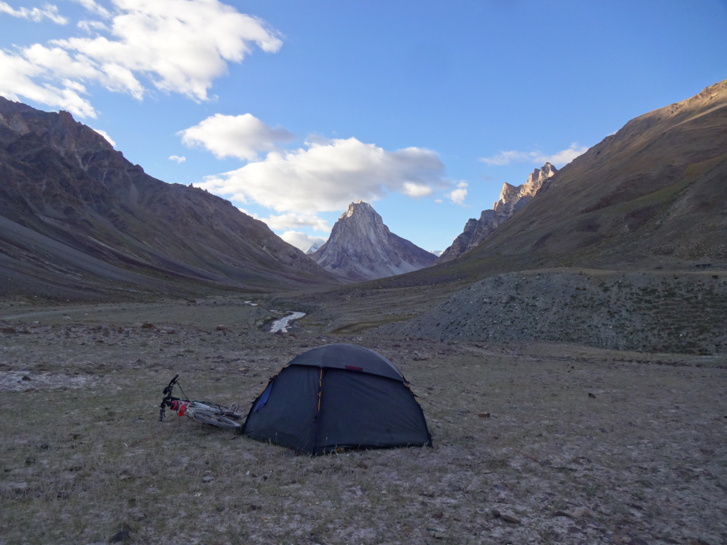
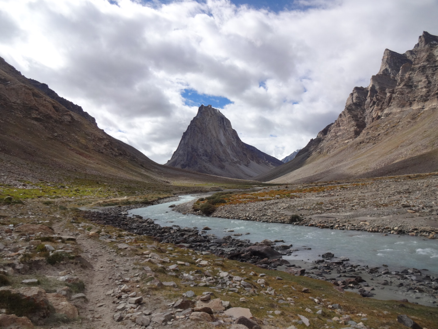
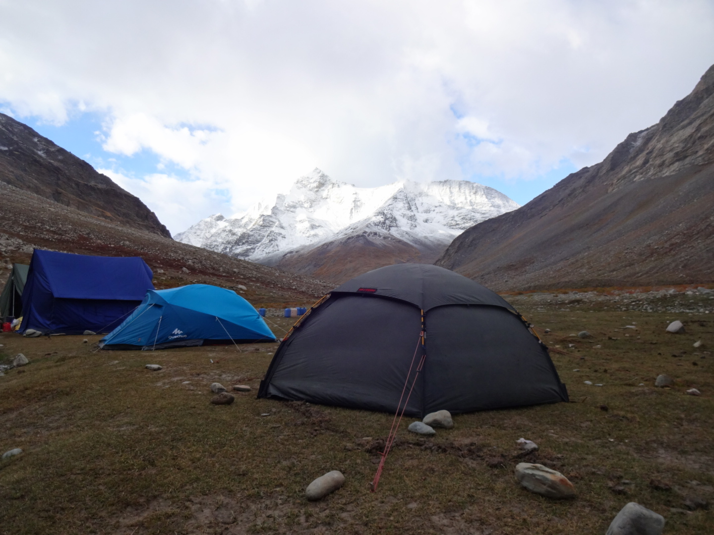
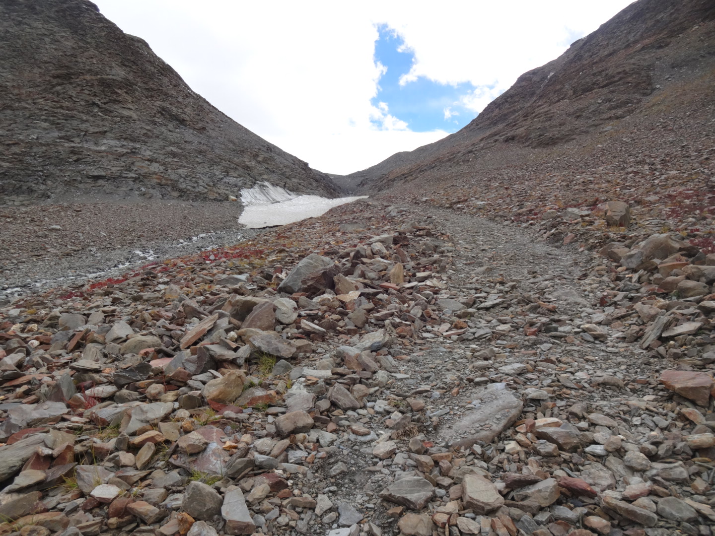
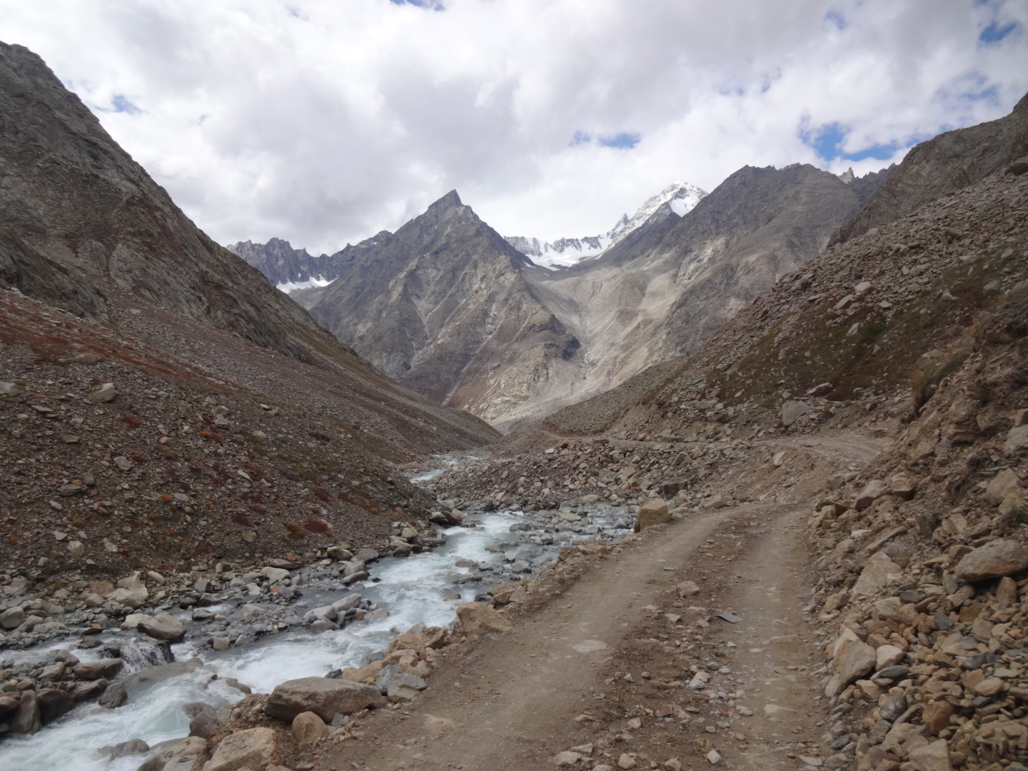

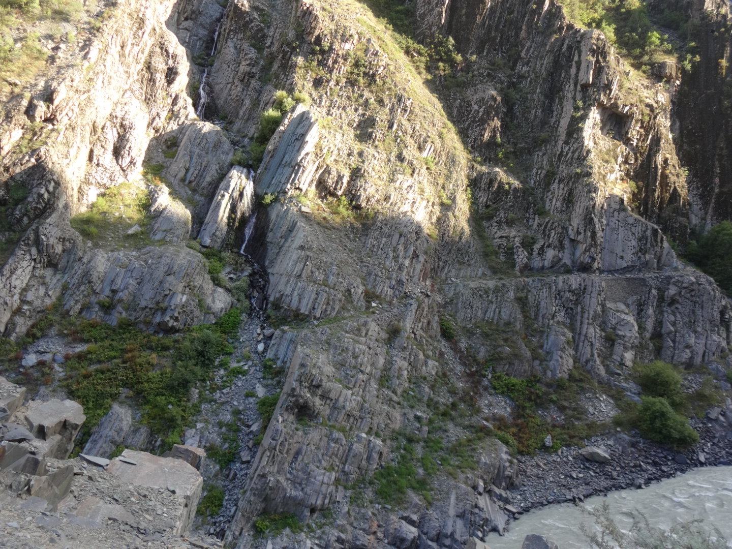
there is a road from shingo la to darcha, which officially was opened in september 2015. unfortunately, it is not well known that a monk first built the road from ramjak to the pass. in 2016, the goal of the monk was to continue with the road from the pass to kargyak. when i was there in the end of august, there were approx. 10km of “road” on the western side of the pass, which were built in only 5 days as i got told by a french tv-crew. between amnu and kargyak, there is no road at all, there is only a trekking path (or actually, you have a trekking path on each side of the river in the beginning).
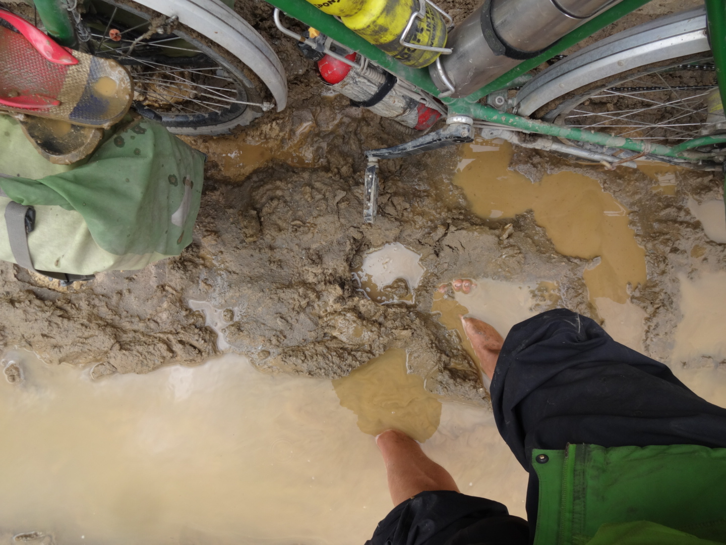
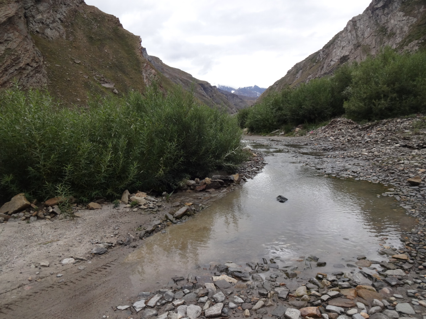
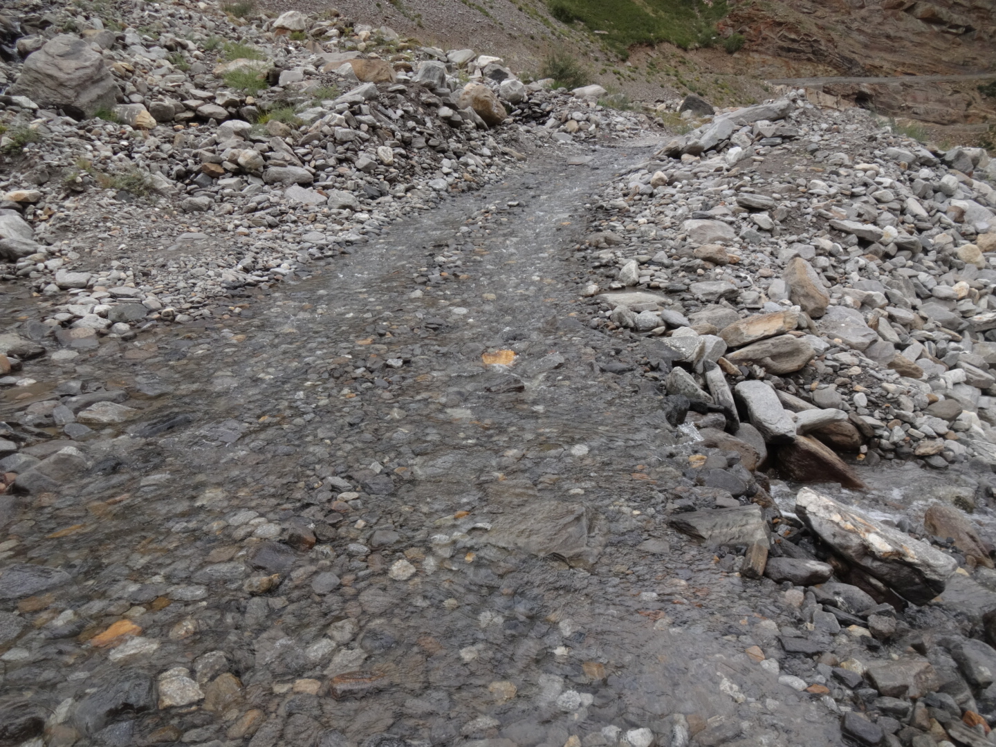
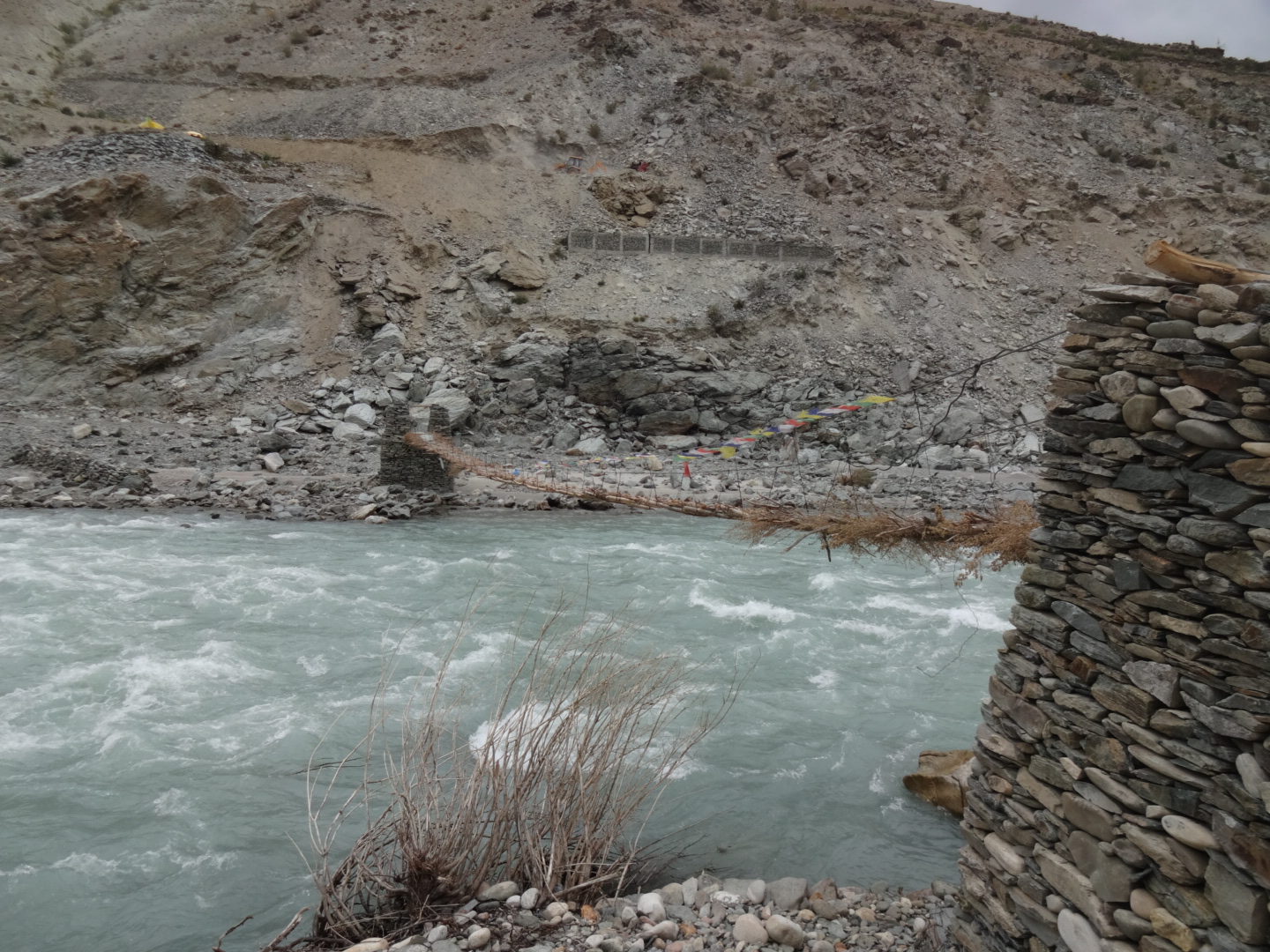
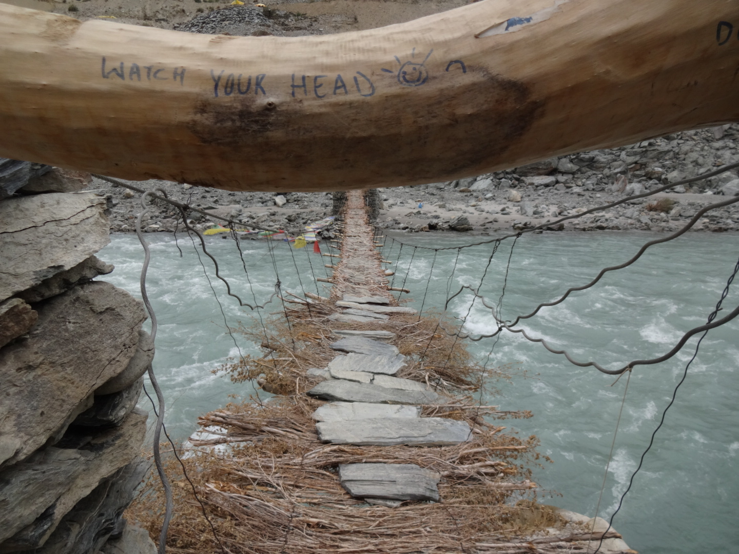
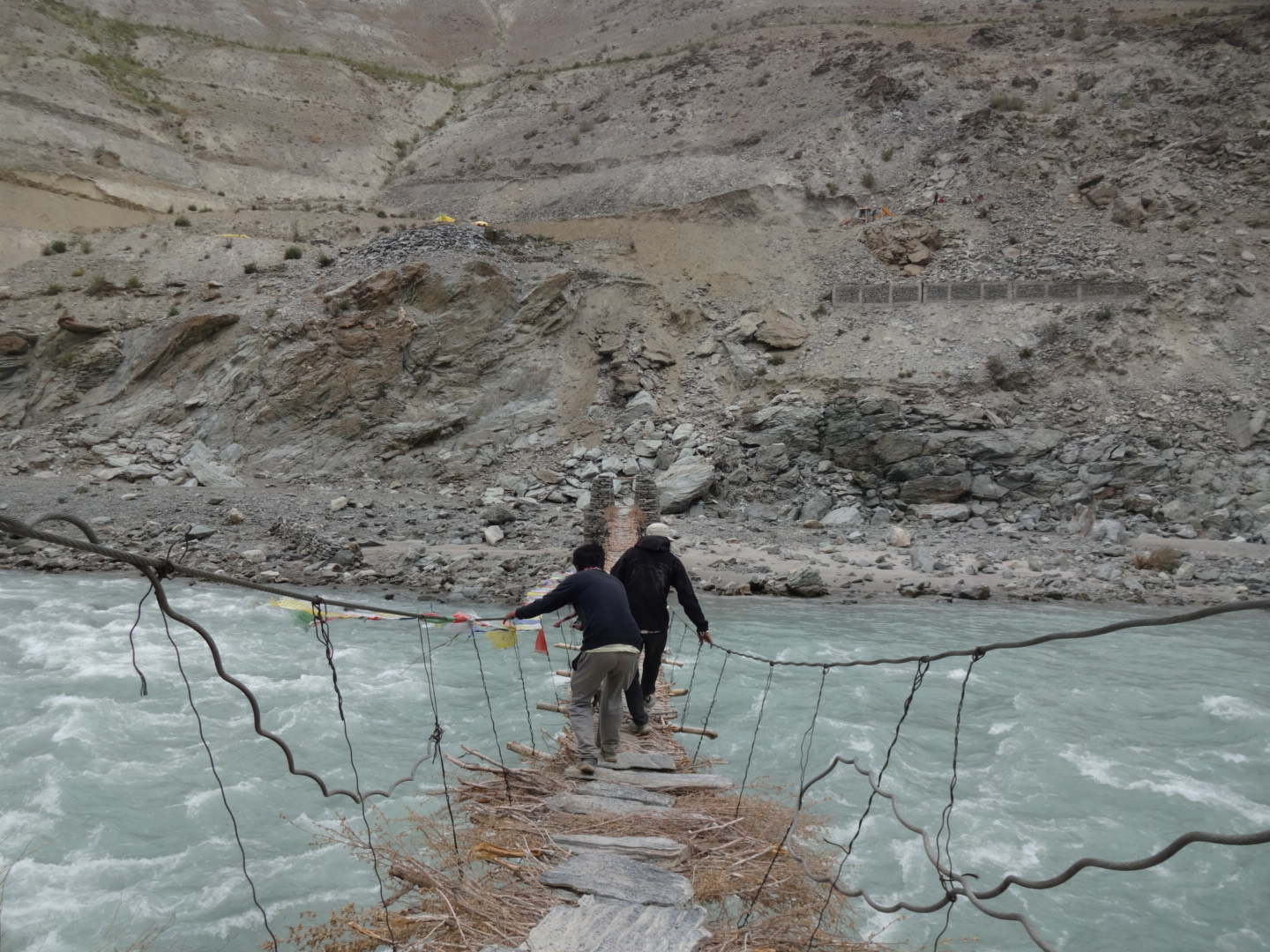
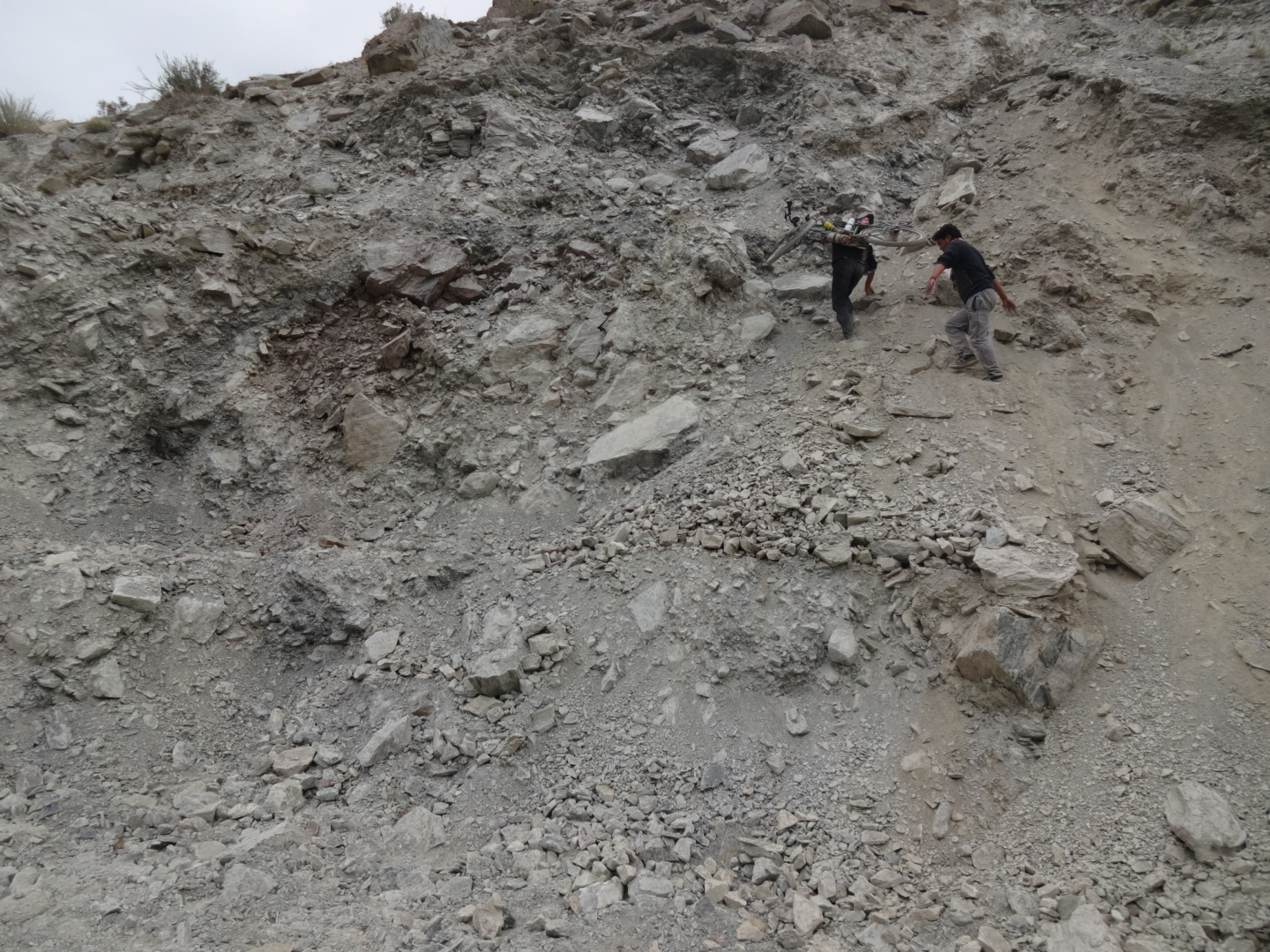
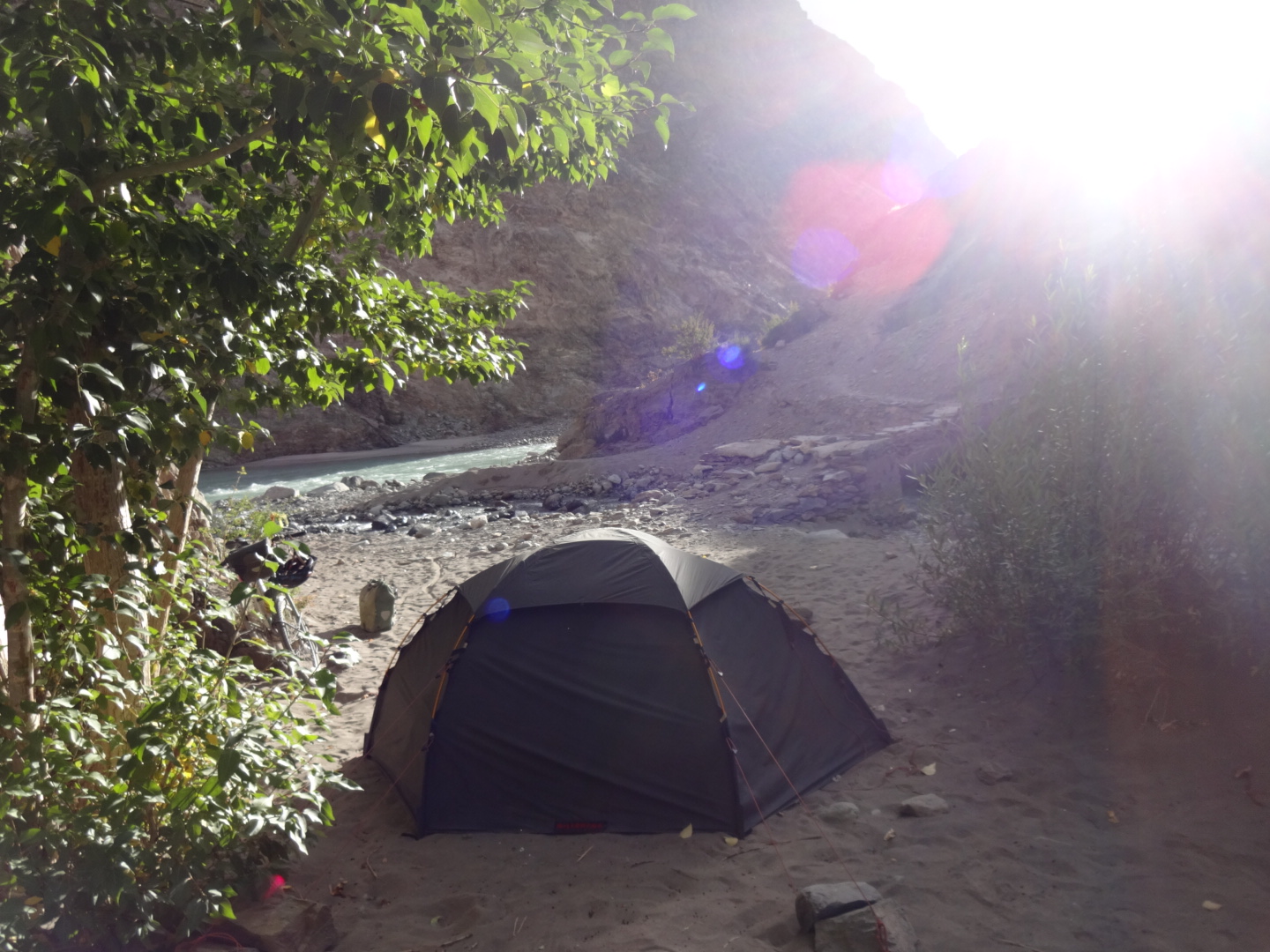
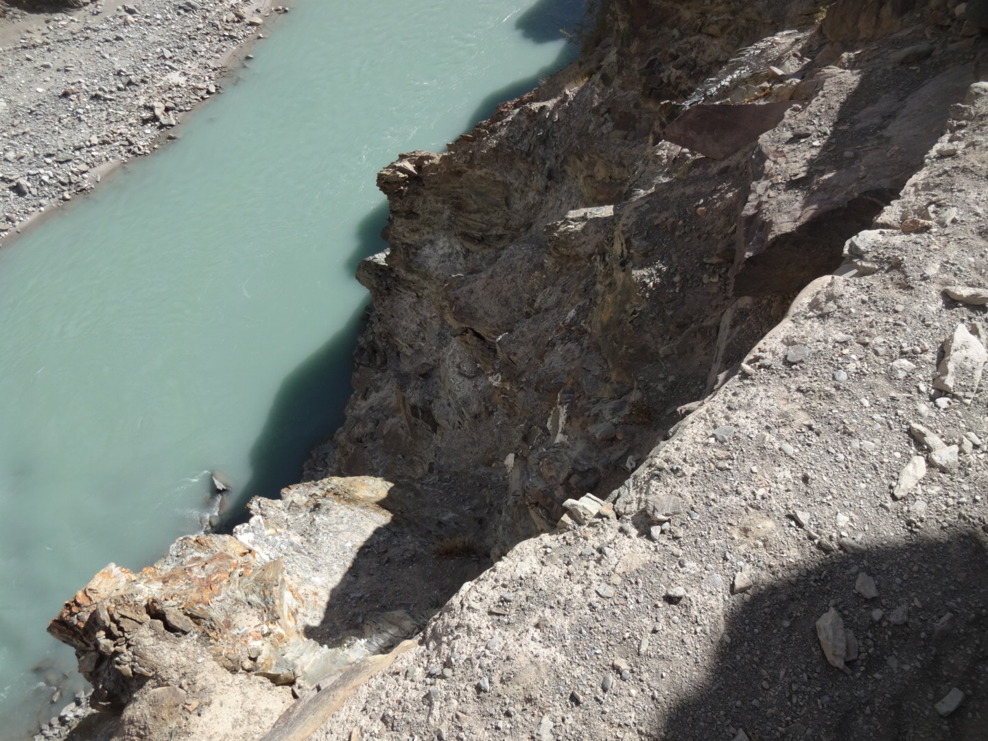
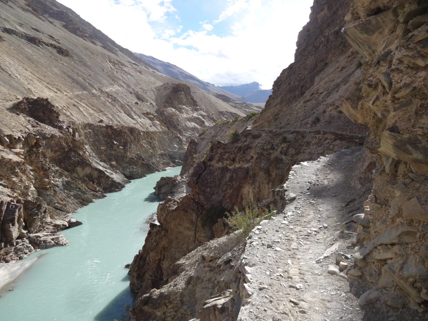
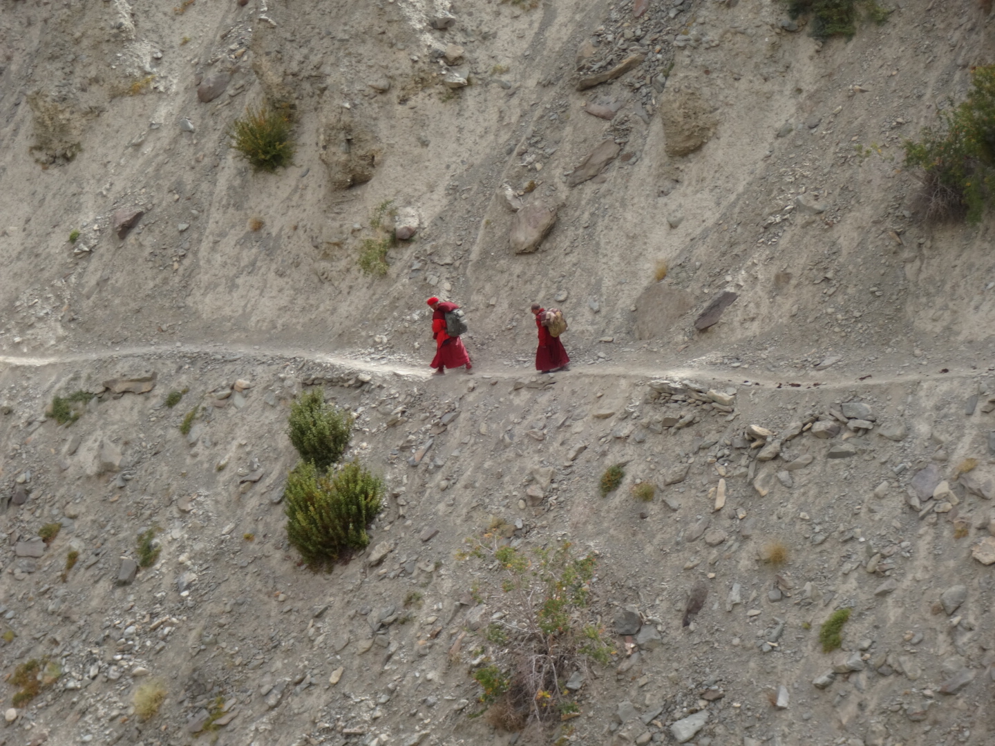
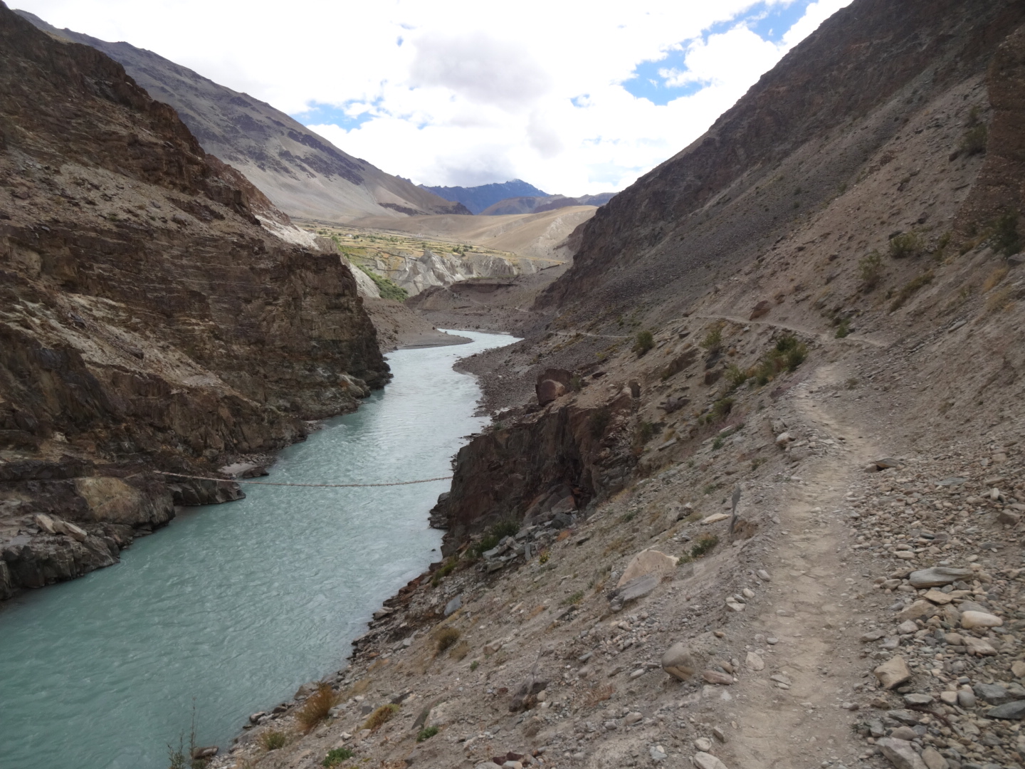
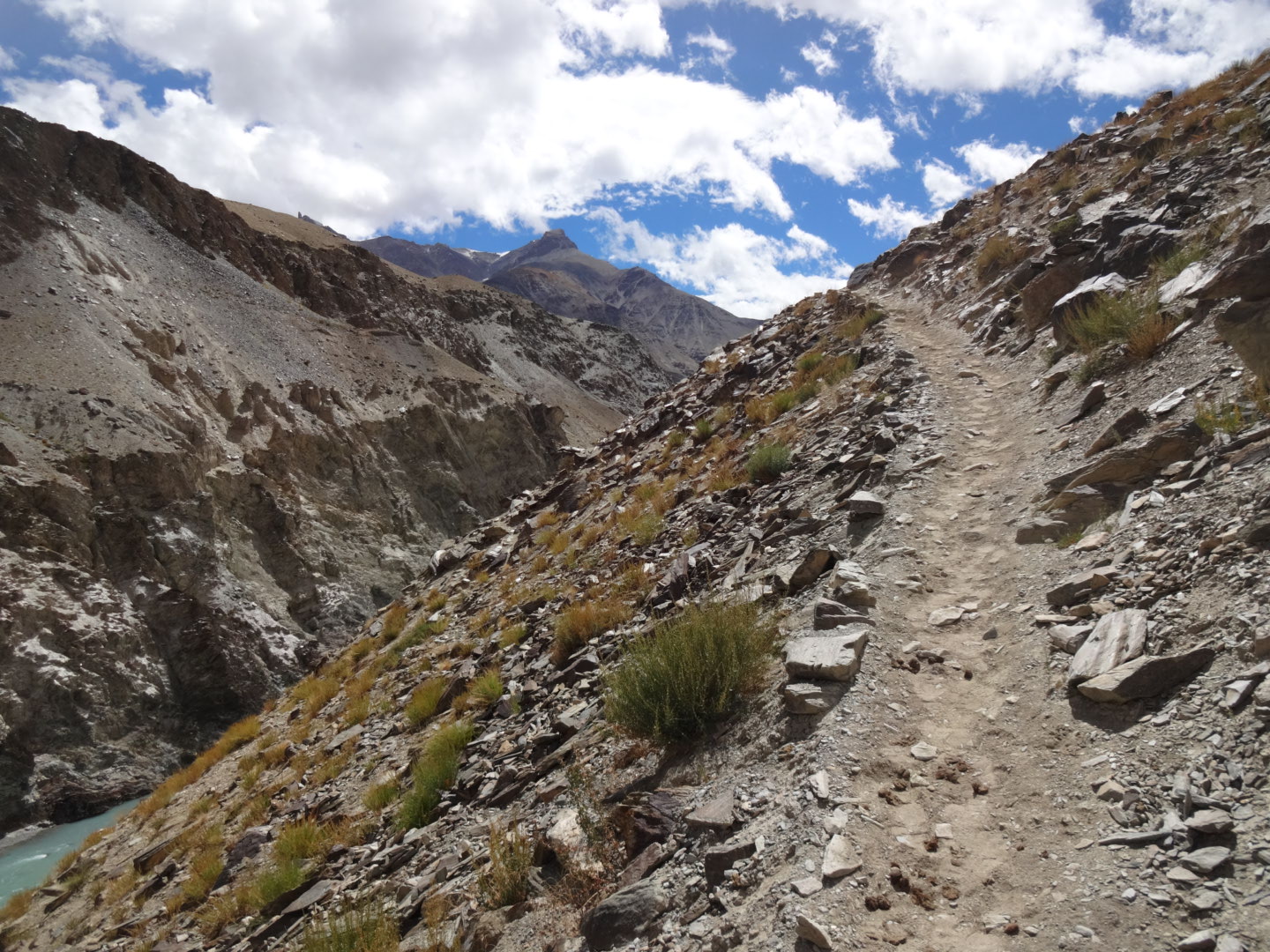
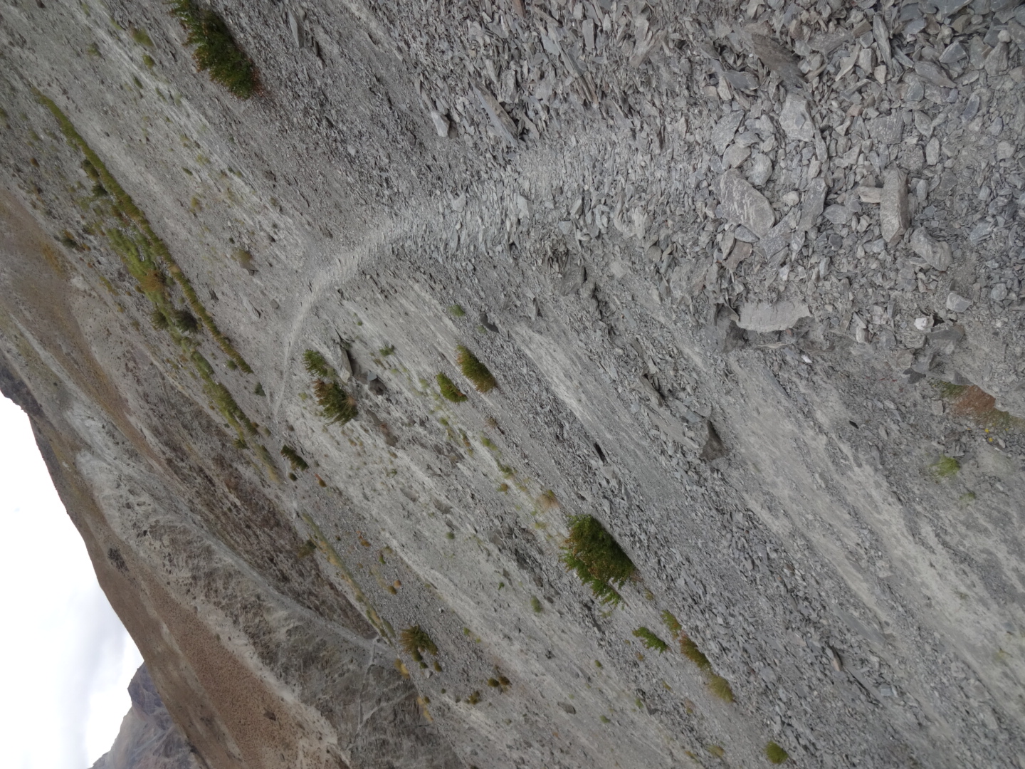
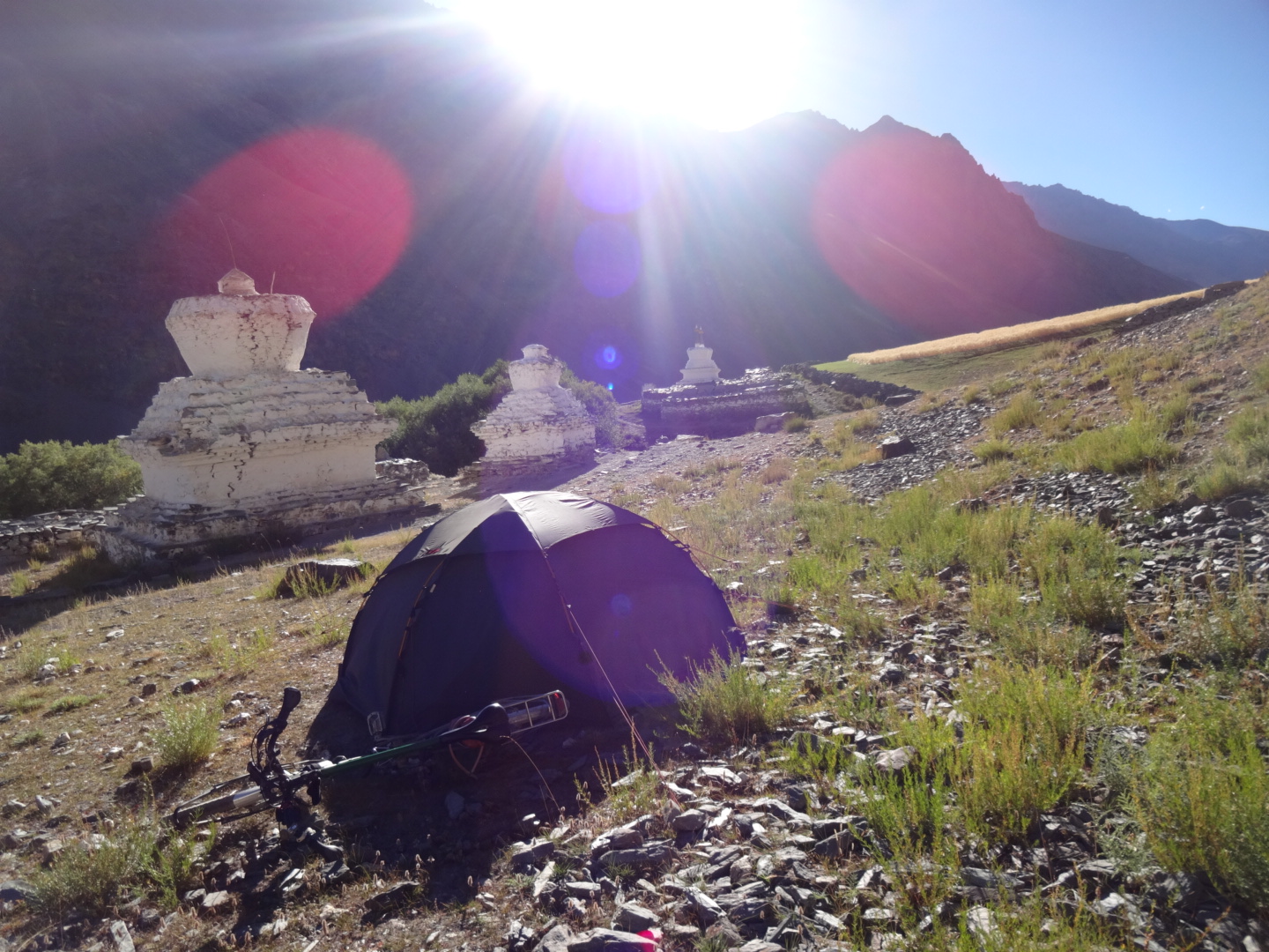
in amnu, two locals helped me to cross a bridge to the southern side of the river (lungnak). you could also stay on the northern side and go to purne, but the locals told me that this way is more difficult than the one on the other side of the river. when you are in amnu, you can see a white stupa on the other side of the river (in direction of sule), there you have to take the small path. the way to kyalbok is very narrow, but i could usually push the fully loaded bicycle, but i also had to remove the bags for some parts. “spring” below sule. the only camping spot between amnu and kyalbok is at 33.239N, 77.094E. the path to yal is narrow as well. after yal, i could cycle a bit to testa. from testa to kargyak, i could cycle sometimes, but sometimes i had to remove the bags. from kargyak to lakang, i could cycle/push a little bit in the beginning, but then there was a longer stretch, where i often had to remove the bags. before lakang, you have to cross a landslide where you have to push/carry the (unloaded) bicycle. after lakang, i pushed the bicycle through the brook bed (river), which was probably much easier than the trekking path. after the valley, there is a short but rather steep climb. soon after that, i reached the monk’s “road”. i could push the bicycle again, as the “road” was not too steep. later, there was a stretch, where the road was too steep to push the fully loaded bicycle. after the pass, i could (mostly) cycle down to darcha, but i doubt that you could cycle all the way up from darcha due to the rather bad quality of the road. the last kilometers to darcha are paved.
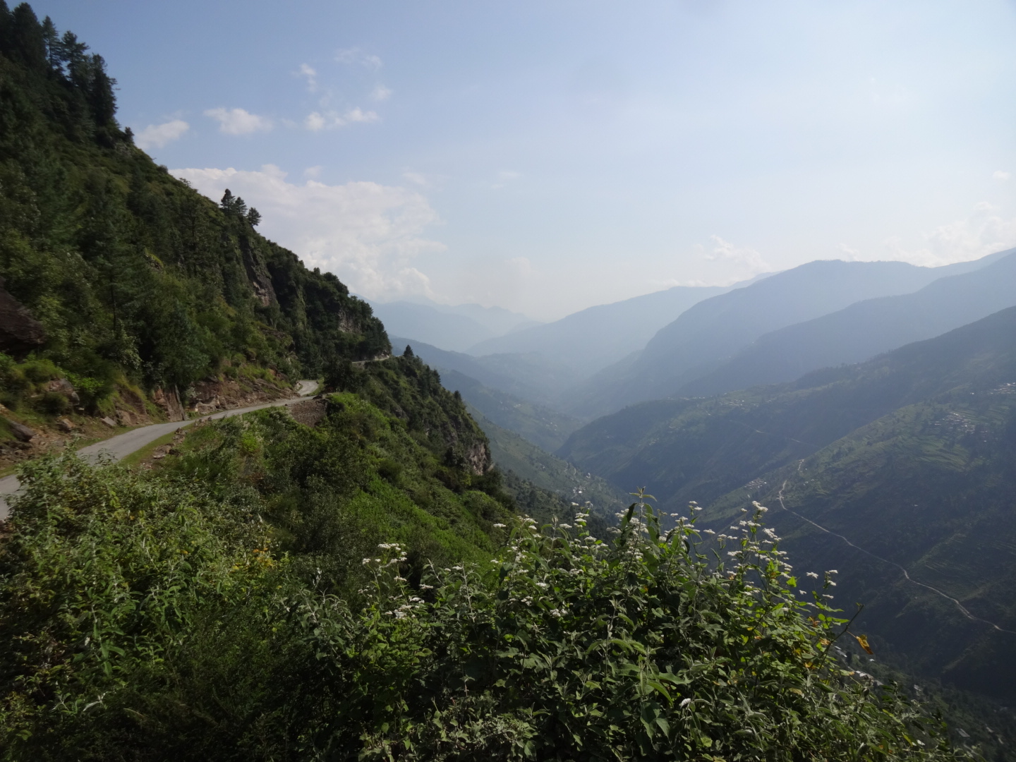
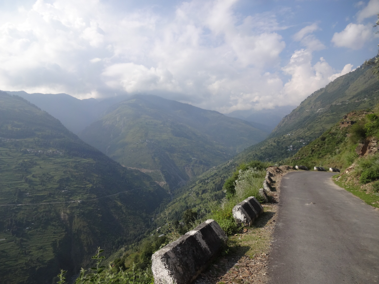
** Darcha – Killar (September 2016)
steep climb without water to killar.
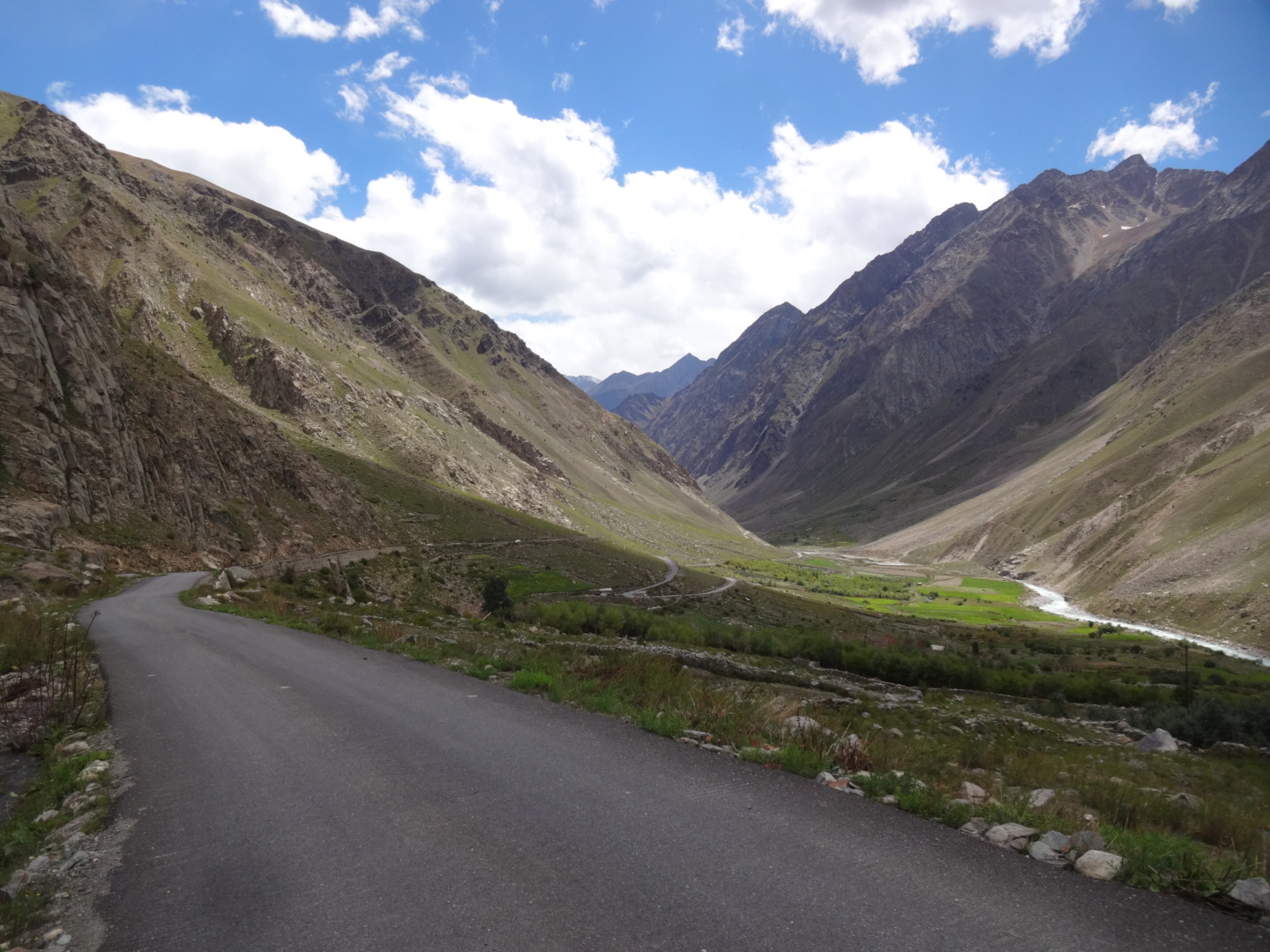
*** Killar – Saach Pass – Chamba – Pathankot (September 2016)
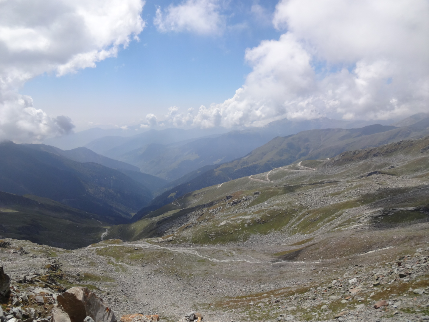
hard pass. the road to the pass is steep and rough.